- Mill Creek Ravine
-
This article is about Edmonton's Mill Creek and Mill Creek Ravine. For the article on the provincial electoral district of Edmont Mill Creek, see Edmonton Mill Creek.
Mill Creek Ravine is located in south Edmonton, Alberta, Canada. The north end of the ravine opens onto the North Saskatchewan River valley near the west end of Cloverdale and then approaches the Low Level and the James McDonald bridges. Near its southern end, it branches into two arms with one ending at 63 Avenue and the other ending at Argyll Road.
The creek is "named after a grist mill established by William Bird in 1878,"[1]. The creek emerges from an underground outfall near Argyll Road, meanders through Mill Creek Ravine, and then enters another outfall near 92 Avenue. The creek finally emerges on the bank of the East bank of the North Saskatchewan River at approximately 95 Avenue. It is clearly visible from the Walterdale Bridge.
The ravine was once home to part of the Edmonton, Yukon & Pacific rail line. The line ran from the C.P. Line at about 67 Avenue, across 99 Street, and down into Mill Creek Ravine. It went down through the ravine and out across the Low Level Bridge. By 1954, most of the tracks had been removed and only the cinders on the cut through the valley were left as evidence of the railway's existence. Later, in the 1970s, the City of Edmonton converted what was left of the rail line into a bicycle and walking path extending from one end of the ravine to the other. In 1988, the Edmonton Historical Board erected a plaque in Mill Creek Park commemorating the Edmonton Yukon & Pacific Railway.
The Mill Creek Outdoor Swimming Pool, located in the ravine at 8200 - 95 A Street, is a popular summertime destination for Edmontonians seeking to enjoy hot summer weather. In addition to the pool, there is also the Argyll Sports Centre located at 6850 - 88 Street.
Neighborhoods overlooking the Mill Creek Ravine include:
- Strathcona
- Bonnie Doon
- Ritchie
- King Edward Park
- Hazeldean
- Avonmore
- Argyll
- Greenview
- Jackson Heights
- Minchau
- Kiniski Gardens
- Wild Rose
- Silver Berry
- Tamarack
See also
- Whitemud Creek
- Blackmud Creek
Notes
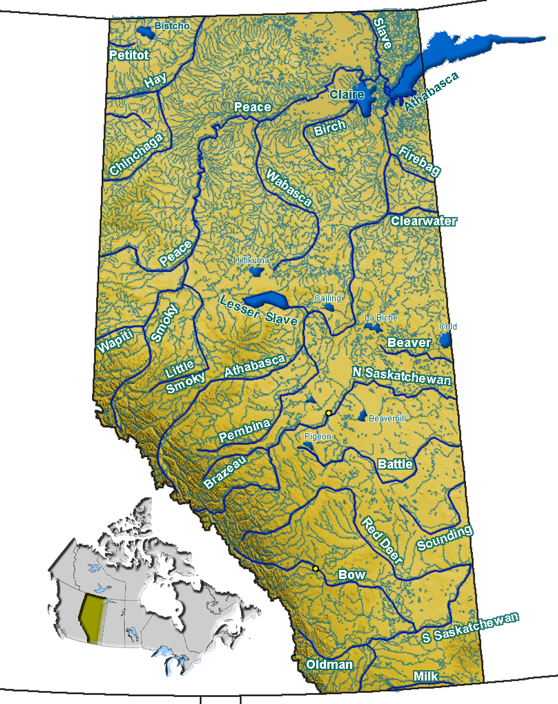
Hydrography of Alberta Rivers 
Waterfalls Lakes Reservoirs Glaciers Other - Peace–Athabasca Delta
Coordinates: 53°32′23″N 113°28′41″W / 53.53972°N 113.47806°W
Categories:- Saskatchewan River
- Rivers of Alberta
- Valleys of Alberta
- Geography of Edmonton
- Parks in Edmonton
- Edmonton stubs
- Edmonton Capital Region geography stubs
Wikimedia Foundation. 2010.