- Milk River (Alberta–Montana)
-
Milk River River  The Milk River in Writing-on-Stone Provincial Park
Name origin: Named by the Lewis and Clark Expedition for its milky color Countries United States, Canada Regions Montana, Alberta Source Confluence of South and Middle Forks - location Glacier County, Montana - elevation 4,403 ft (1,342 m) - coordinates 48°51′20″N 113°01′10″W / 48.85556°N 113.01944°W [1] Mouth Missouri River - location Valley County, Montana - elevation 2,024 ft (617 m) - coordinates 48°03′26″N 106°19′07″W / 48.05722°N 106.31861°W [1] Length 729 mi (1,173 km) Basin 23,800 sq mi (61,642 km2) [2] Discharge for Nashua, Montana, 22.7 mi (36.5 km) from the mouth - average 618 cu ft/s (17 m3/s) [3] - max 45,300 cu ft/s (1,283 m3/s) - min 0 cu ft/s (0 m3/s)  The Milk River shown highlighted
The Milk River is a tributary of the Missouri River, 729 mi (1,173 km) long, in the United States state of Montana and the Canadian province of Alberta. Rising in the Rocky Mountains, the river drains a sparsely populated, semi-arid watershed of 23,800 sq mi (62,000 km2), ending just east of Fort Peck, Montana.
Contents
Geography
It is formed in Glacier County in northwestern Montana, 21 miles (34 km) north of Browning, Montana, by the confluence of its South and Middle forks. The 30-mile (48 km) long South Fork and 20-mile (32 km) long Middle Fork both rise in the Rocky Mountains just east of Glacier National Park, in the Blackfeet Indian Reservation.[4] Much of the water in the North Fork is diverted from the St. Mary River through a canal and inverted siphon.[5]
The main stem flows east-northeast into southern Alberta, where it is joined by the North Fork of the Milk River, then east along the north side of the Sweetgrass Hills. It flows past the town of Milk River and Writing-on-Stone Provincial Park, then turns southeast into Montana, passing through the Fresno Dam, then east past Havre and along the north side of the Fort Belknap Indian Reservation. Near Malta, it turns north, then southeast, flowing past Glasgow and joining the Missouri in Valley County, Montana, 5 miles (8.0 km) downstream from Fort Peck Dam.[4]
The Milk is the northernmost major tributary of the Missouri, and thus represents the rough northern extent of the Mississippi watershed. The small area drained by the Milk River in southern Alberta and southwestern Saskatchewan is one of two areas in Canada that drain into the Gulf of Mexico (The others are the Big Muddy Creek and Poplar River watersheds which extend into Canada in Saskatchewan.)
History
The Milk River was given its name by Captain Meriwether Lewis, of the Lewis and Clark Expedition, who described the river in his journal:
- "the water of this river possesses a peculiar whiteness, being about the colour of a cup of tea with the admixture of a tablespoonfull of milk. from the colour of its water we called it Milk river."
This appearance results from clays and silts suspended in its waters. These extremely fine-grained sediments are the result of the erosion of soft clay-rich rocks along the Milk River basin in southern Alberta.


The Milk River in Writing-on-Stone Provincial Park References
- ^ a b "Milk River". Geographic Names Information System, U.S. Geological Survey. 1980-04-04. http://geonames.usgs.gov/pls/gnispublic/f?p=gnispq:3:::NO::P3_FID:774213. Retrieved 2011-10-28.
- ^ "Overview of the Milk River Watershed". Milk River Watershed Council Canada. http://www.milkriverwatershedcouncil.ca/maps.html.
- ^ "USGS Gage #06174500 on the Milk River at Nashua, MT". National Water Information System. U.S. Geological Survey. 1939-present. http://wdr.water.usgs.gov/wy2010/pdfs/06174500.2010.pdf. Retrieved 2011-10-28.
- ^ a b ACME Mapper. Topo Maps for United States and Canada (Map). United States Geological Survey and Natural Resources Canada. http://mapper.acme.com/. Retrieved 2011-10-28.
- ^ "Milk River Project". U.S. Bureau of Reclamation. 2011-05-11. http://www.usbr.gov/projects/Project.jsp?proj_Name=Milk+River+Project. Retrieved 2011-10-28.
See also
- Montana Stream Access Law
- List of longest rivers of Canada
- List of longest rivers of the United States (by main stem)
- List of rivers of Montana
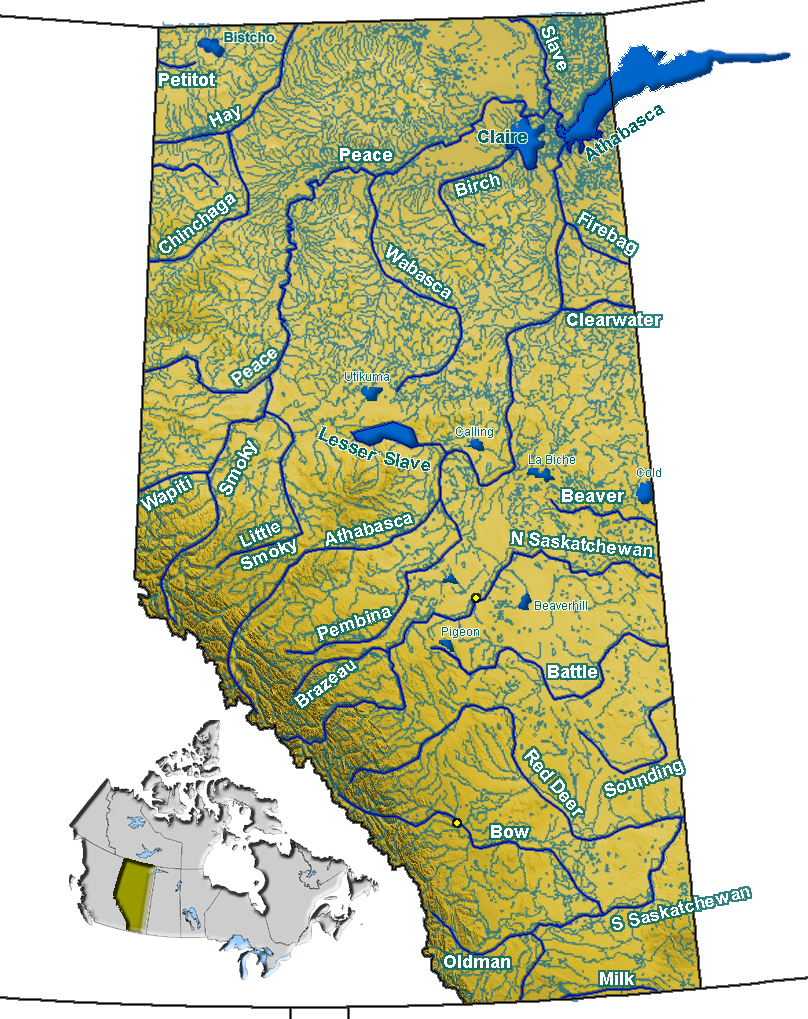
- List of rivers of Alberta
External links
Hydrography of Alberta Rivers 
Waterfalls Lakes Reservoirs Glaciers Other - Peace–Athabasca Delta
Coordinates: 48°03′26″N 106°19′07″W / 48.05722°N 106.31861°W
Categories:- Lewis and Clark Expedition
- Rivers of Alberta
- Rivers of Montana
- Tributaries of the Missouri River
- International rivers of North America
- Landforms of Glacier County, Montana

Wikimedia Foundation. 2010.