- North Glenora, Edmonton
-
North Glenora is a residential neighbourhood in west Edmonton, Alberta, Canada.
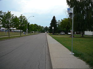 Residential Street in North Glenora.
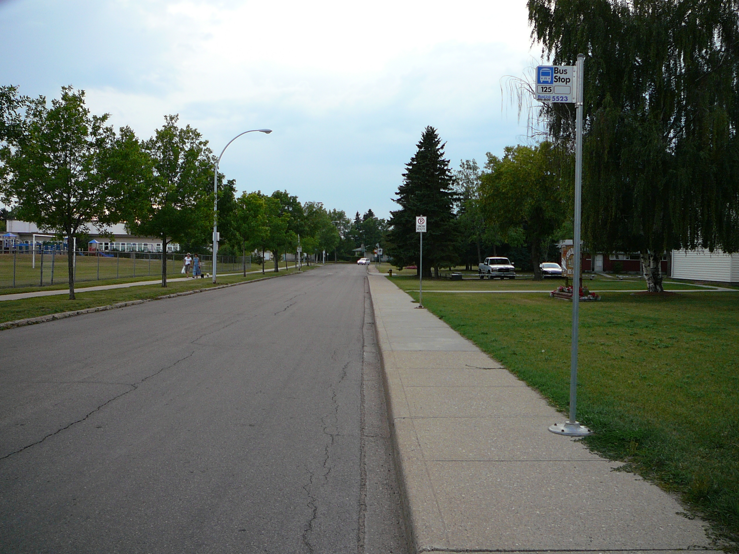
Residential development in North Glenora began before 1946 when one in twenty (5.4%) of the residences were built according to the 2001 federal census. The majority of the residential construction occurred during the fifteen years immediately following the end of World War II in 1945. It was during this period that seventeen out of every twenty (86.3%) of residences were built. Most of the remaining residences were built during the 1960s.[1]
According to the 2005 municipal census, the most common type of residence in the neighbourhood is the single family dwelling. These account for almost nine out of every ten (86%) of all residences in the neighbourhood. The remaining residences are divided almost equally between row houses (6%) and rented apartments in low rise buildings with fewer than five stories. There are also a few duplexes (1%).[2] Three out of every four residences (75%) are owner occupied while the remaining one out of four (25%) are rented.[3]
There is one school in the neighbourhood, Coronation Elementary School, operated by the Edmonton Public School System. In addition, there is a junior high school in the neighbourhood of Inglewood to the north east—Westmount Junior High. Ross Sheppard High School is located to the north in the neighbourhood of Woodcroft and Archbishop McDonald High School is locate to the west in the neighbourhood of McQueen.
Westmount Centre, a major shopping mall, is located immediately to the north of the neighbourhood.
Also located to the north is Coronation Park and the Telus World of Science.
The neighbourhood is bounded on the north by 111 Avenue, on the south by 107 Avenue, on the east by Groat Road, and on the west by 142 Street. Groat Road provides access to locations on the south side, including the University of Alberta and Whyte Avenue.
Surrounding neighborhoods

Huff Bremner Estate Industrial Woodcroft Inglewood McQueen 
Westmount  North Glenora

Grovenor Glenora Westmount Notes
- ^ City of Edmonton. "2001 Federal Census Period of Construction Occupied Private Dwellings". City of Edmonton. http://censusdocs.edmonton.ca/DD23/FEDERAL%202001/Neighbourhood/NORTH%20GLENORA.pdf. Retrieved September 21, 2011.
- ^ Duplexes include both triplexes and fourplexes.
- ^ City of Edmonton. "2005 Municipal Census Dwelling Unit by Structure Type and Ownership". City of Edmonton. http://censusdocs.edmonton.ca/C05002/MUNICIPAL%202005/Neighbourhood/NORTH%20GLENORA.pdf. Retrieved September 21, 2011.
External links
Categories:- Neighbourhoods in Edmonton
- Edmonton Capital Region geography stubs
Wikimedia Foundation. 2010.