- Maentwrog
-
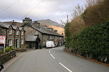 Maentwrog
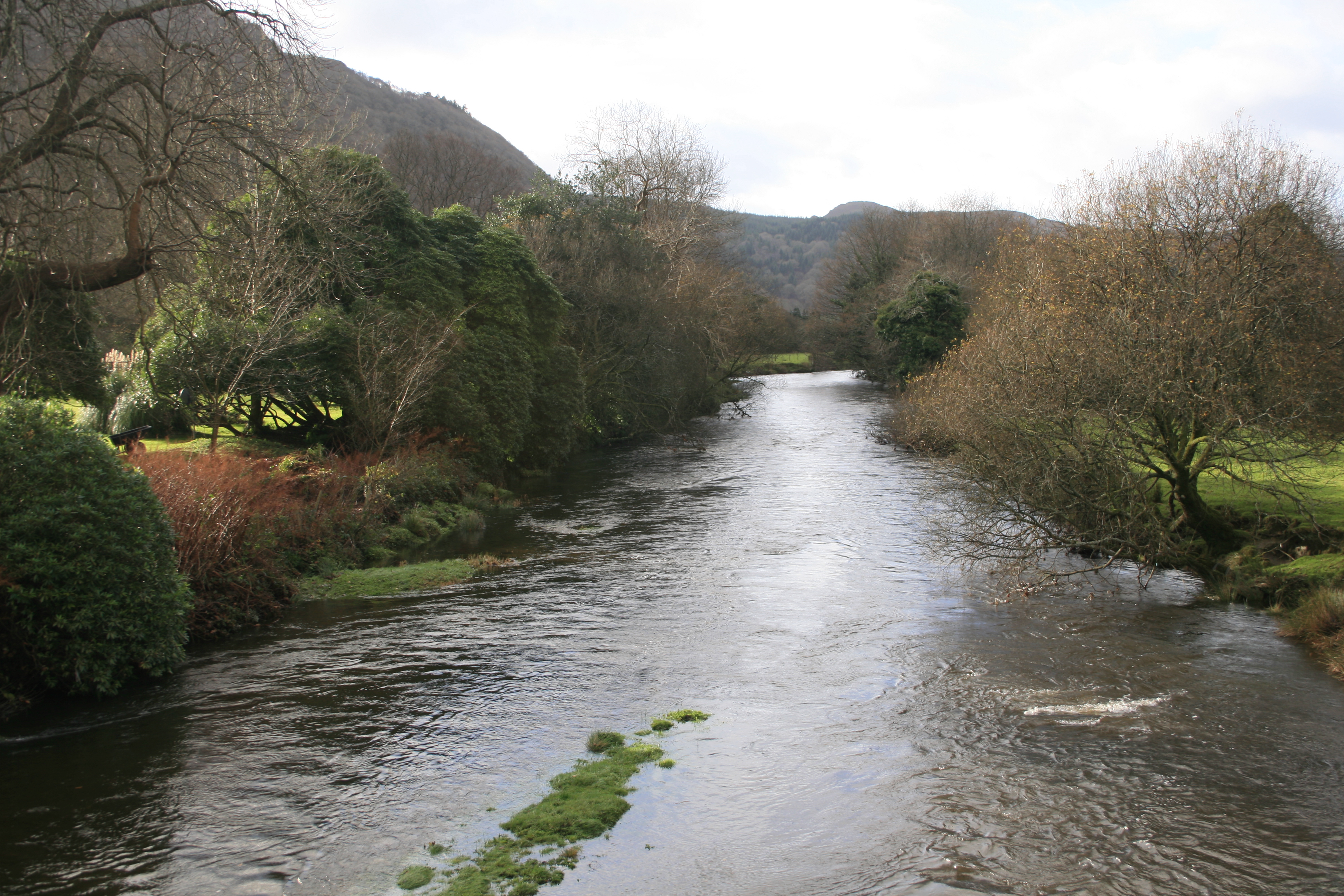
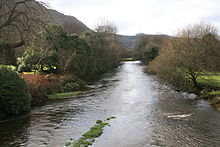 River Dwyryd in Maentwrog
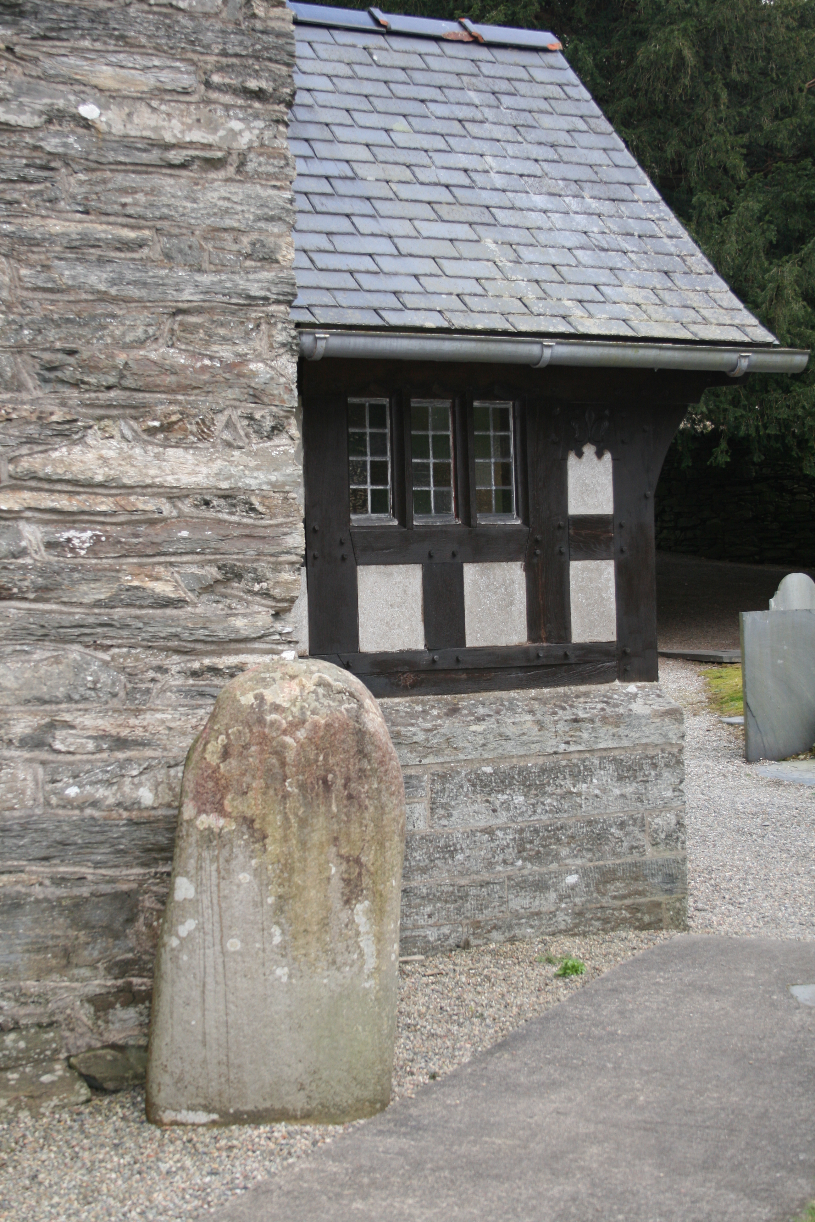
 Twrog's Stone in Maentwrog
Maentwrog is a village and community in the Welsh county of Gwynedd, lying in the Vale of Ffestiniog, within the Snowdonia National Park. The River Dwyryd runs alongside the village. It has a population of 585.[1]
Contents
Location and transport
The village lies on the A496 between Harlech and Blaenau Ffestiniog, and also on the Roman road Sarn Helen, now classified as the B4410, at the junction with the A487 from Porthmadog, leading to the A470 (to Trawsfynydd and Dolgellau).
Nearby Plas Tan y Bwlch, substantially rebuilt during the 19th century by the rich Oakeley family on the site of a first house probably built in the early 17th century,[2] overlooks the village. Plas Tan y Bwlch has its own halt - Plas Halt - on the Ffestiniog Railway, and nearby Tan-y-Bwlch railway station is the railway's principal intermediate station. The National Gazetteer of Great Britain and Ireland (1868) stated that Tan-y-Bwlch was the postal town of Maentwrog.[3]
Etymology
Maentwrog means "Twrog's stone" (maen = stone). According to legend, a giant known as Twrog hurled a boulder from the top of a hill down into the settlement, destroying a pagan altar. This stone is said to be the one located in St Twrog's Church courtyard. It is said that if one rubs this boulder one is fated to return to the village in the future.[4]
The name was already in existence at some time before this as it is said in Welsh mythology found in the Mabinogion that Pryderi was killed at the Glaslyn river and in Maentwrog is he buried.[5] The boulder supposedly hurled by the giant is also the one said to mark Pryderi's grave.[6]
History
The church is dedicated to the memory of Twrog, an eminent British saint, who lived in the 5th and 6th Centuries.[7] According to information in St Twrog's Church, based on a late addition to the Bonedd y Saint, there were four brothers and sons of Ithel Hael o Lydaw (Brittany) who came to Wales as Christian missionaries:
- Saint Baglan is the founder and patron saint of Baglan;
- Saint Tanwg is the founder and patron saint of Llandanwg;
- Saint Tegai is the founder and patron saint of Llandegai;
- Saint Twrog is the founder and patron saint of Llandwrog and of Maentwrog.
The village settlement expanded in the 19th century to house workers from local slate mines.[8] Within the village community is the imposing Plas Tan y Bwlch, home of the Snowdonia National Park Study Centre and former residence of the Oakeley family.
Maentwrog hydro-electric power station was opened in 1928, and still produces electricity today. It is supplied by water from Llyn Trawsfynydd, a large man-made reservoir located near the village of Trawsfynydd.[9] The Department of Atomic Energy built a station in Maentwrog in 1947, possibly investigating sites for the production of heavy water.[10]
Social facilities
There are two village inns: The Grapes, a 17th century Grade 2 listed coaching inn near the parish church; and The Oakeley Arms, across the valley at Tan-y-Bwlch.
Notable residents
Thomas Love Peacock lived at Maentrwrog in 1810, and subsequently married Jane Gryffydh, daughter of the parson.[11]
The British astrologer Russell Grant is currently a notable resident of Maentwrog.[12]
References
- ^ Snowdonia National Park Authority - 2001 Census Figures
- ^ BBC page - Plas Tan y Bwlch
- ^ Genuki history website
- ^ Megalithic Portal website
- ^ The Mabinogion translated by Charlotte Guest et al, reprinted by Forgotten Books
- ^ The Royal Commission on the Ancient and Historical Monuments of Wales
- ^ Genuki history website
- ^ Quarry Proprietors - The Meirionnydd Quarries
- ^ Maentwrog Hydroelectric Power Station website
- ^ Atomic Energy Authority records
- ^ Thomas Love Peacock, Nicholas A. Joukovsky The Letters of Thomas Love Peacock: 1792-1827 Chronology
- ^ The Journal of The Ffestiniog Railway Society, Issue 201, Page 611, Summer 2008
External links
- GENUKI(tm) page
- Plas Tan y Bwlch - Snowdonia National Park Study Centre
- www.geograph.co.uk : photos of Maentwrog and surrounding area
- Map sources for Maentwrog
Coordinates: 52°56′43″N 3°59′18″W / 52.9452°N 3.9882°W
Gwynedd Principal settlements Bala • Bangor • Barmouth • Bethesda • Blaenau Ffestiniog • Caernarfon • Criccieth • Dolgellau • Ffestiniog • Harlech • Nefyn • Porthmadog • Pwllheli • Tywyn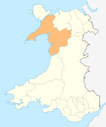
Towns and villages Aberangell • Aberdaron • Aberdesach • Aberdyfi • Abererch • Abergeirw • Abergwyngregyn • Abergynolwyn • Aberllefenni • Abersoch • Abertrinant • Afon Wen • Anelog • Arthog • Beddgelert • Bethania • Bethel • Bethesda • Betws Garmon • Bodferin • Boduan • Bontddu • Bontnewydd • Botwnnog • Bryncroes • Bryn-crug • Brynrefail • Buan • Bwlch-derwin • Caeathro • Capel Celyn • Carmel • Carnguwch • Ceidio • Chwilog • Clwt-y-bont • Clynnog Fawr • Corris Uchaf • Corris • Croesor • Cwm y Glo • Deiniolen • Dinas • Dinas Dinlle • Dinas Mawddwy • Dinorwig • Dolbenmaen • Dolmelinllyn • Dwygyfylchi • Edern • Efailnewydd • Eisingrug • Fairbourne • Friog • Frongoch • Ganllwyd • Garndolbenmaen • Garneddwen • Gellilydan • Glasinfryn • Groeslon • Llan Ffestiniog • Llanaber • Llanaelhaearn • Llanarmon • Llanbedr • Llanbedrog • Llanberis • Llandanwg • Llandegwning • Llandeiniolen • Llandudwen • Llandwrog • Llandygai • Llanegryn • Llanelltyd • Llanengan • Llanfaelrhys • Llanfaglan • Llanfair • Llanfihangel Bachellaeth • Llanfihangel-y-Pennant • Llanfihangel-y-Pennant, Dolbenmaen • Llanfrothen • Llangelynnin • Llangian • Llangwnnadl • Llangybi • Llaniestyn • Llanigian • Llanllechid • Llanllyfni • Llannor • Llanrug • Llanuwchllyn • Llanwnda • Llanymawddwy • Llanystumdwy • Llithfaen • Llwyndyrys • Llwyngwril • Maentwrog • Mallwyd • Mellteyrn • Minffordd • Morfa Bychan • Morfa Nefyn • Mynydd Llandygai • Mynydd Nefyn • Mynytho • Nantlle Valley • Rhostryfan • Nantmor • Nasareth • Nebo • Pant Glas • Penffridd • Penisa'r Waun • Penllech • Penllyn • Penmaenpool • Pennal • Penrhos • Penrhyndeudraeth • Pentre Gwynfryn • Penygroes • Pen-y-meinl • Pistyll • Pontrug • Porthdinllaen • Portmeirion • Prenteg • Rachub • Rhiwddolion • Rhosgadfan • Rhoshirwaun • Rhoslefair • Rhos-y-gwaliau • Rhyd Ddu • Rhyd • Rhydyclafdy • Sarn Meyllteyrn • Soar • Talsarnau • Tal-y-bont (near Bangor) • Tal-y-bont (near Barmouth) • Talysarn • Tanygrisiau • Trawsfynydd • Trefor • Tregarth • Tremadog • Tudweiliog • Tywyn • Waunfawr • Y Felinheli • Y Ffor • Y Fron • Y RhiwUniversities and colleges Castles and forts Rivers Afon Artro • Afon Cwmnantcol • Afon Dwyryd • Afon Dysynni • Afon Fathew • Afon Glaslyn • Afon Llyfni • Afon Mawddach • Afon Rhythallt • Afon Seiont • Afon TrywerynIslands  Wales topics
History Prehistory · Roman Era · Castles · Early Middle Ages · Kingdom of Gwynedd · Kingdom of Powys · Deheubarth · Welsh law · Norman invasion · Late Middle Ages · Statute of Rhuddlan · Glyndŵr Rising · Laws in Wales Acts 1535–1542Politics Geography Demographics Language Culture Education · Music (National anthem) · Literature in Welsh · Literature in English · Eisteddfod · Art · Media · MuseumsReligion Symbols Sport Rugby union (National team) · Football (National team) · Boxing · Cricket · Horse racing · Rugby league (National team) Energy in WalesCompanies and organisations Power stations FutureCoal-firedActiveAberthaw · UskmouthClosedLlynfi (demolished)Gas-firedActiveFutureActiveActiveClosedTrawsfynydd (decommissioned)ClosedPembroke (demolished)ActiveFutureBrechfa Forest · Gwynt y Môr CategoryCategories:
- Villages in Gwynedd
- Villages in Snowdonia


Wikimedia Foundation. 2010.