- Geography of Saint Kitts and Nevis
-

Saint Kitts and Nevis is a twin island country with a total landmass of just 104 square miles (270 km2). The island of St. Kitts, the larger of the two, is 68 square miles (180 km2) in size and is located at latitude 17.30 N, and longitude 62.80 W. Nevis is 36 square miles (93 km2) and located at latitude 17.10 N, longitude 62.35 W, approximately 3 km south-east of St. Kitts. They are about one-third of the way from Puerto Rico to Trinidad and Tobago.
Contents
Climate
The climate of St. Kitts and Nevis is classified as tropical marine with a wet and a dry season. Generally, steady northeast trade winds and tropical oceanic cyclonic movements influence it. Furthermore, the islands enjoy warm even temperatures with a mean of approximately 24–27 °C (75.2–80.6 °F) and the humidity is low at 71%. Seasonal and diurnal variations in temperature are small. Rainfall is mainly orographic and increases in amount and frequency with the altitude. Except for the Southeast Peninsula which is very dry, mean annual rainfall ranges from about 16 inches (406 mm) in the coastal areas, to about 60 inches (1,524 mm) in the central mountain ranges but, from May to October rainfall is heavier while temperatures are a little hotter.
Although the hurricane season officially lasts from June to November, most hurricanes hit during August-November. The 1998 & 1999 Atlantic hurricane season produced 3 hurricanes which battered St.Kitts & Nevis.
Hurricane Georges in 1998 produced strong winds of up to 115 mph (185 km/h) while passing over St.Kitts, downing power lines, telephone lines, and trees across the island. Lack of electricity resulted in damage to water facilities, as well. Georges's high winds caused extensive property damage, damaging 80-85% of the houses on the island, and destroying 20-25% of homes. Many schools, businesses, hospitals, and government buildings lost their roofs, while the airport experienced severe damage to its main terminal and control tower, limiting flights to the daytime. St. Kitts' economy was disrupted from severe agricultural losses, including the devastation of 50% of their sugar crop. In addition, damaged hotels and piers created a long-term impact through lack of tourism - an industry the island relies on. In all, Hurricane Georges caused 5 fatalities, left 3,000 homeless, and resulted in $445 million (1998 USD) in damage on the island. Nevis fared better. Like on St. Kitts, high winds downed power and telephone lines, damaging the water system there. 35% of homes on the island were damaged, though none were destroyed. Rainfall and debris killed several hundred livestock and seriously damaged coconut trees, amounting to $2.5 million (1998 USD) in agricultural damage. There were no casualties reported on the island, and damaged amounted to $39 million (1998 USD).
Hurricane Jose in 1999 cause minor damage because the hurricane passed northward and flooding was the principal hazard as several main roads were washed out and landslides were reported. Rainfall were 12 to 15 inches (305 to 381 mm).
Also in 1999, Hurricane Lenny became the strongest Atlantic hurricane ever recorded in the month of November. Hurricane Lenny's storm track was unique in the recorded history of hurricanes. It started life tracking across the Atlantic as a tropical depression and tropical storm in the normal direction (east to west). Then it stalled, changed direction completely, became hurricane-strength and progressing west-to-east through the Caribbean Sea. This triggered storm surge, strong winds, and 12-foot (3.7 m) waves on the more vulnerable western coasts of St. Kitts and Nevis, causing significant beach erosion and flooding. Lenny dumped 20–25 inches (508–635 mm) of rain.
Geology
The island of St. Kitts is composed almost exclusively of volcanic rocks of andesite or dacite mineralogy. Its geology is similar to that of other volcanic islands in the Lesser Antillean Archipelago. The islands are the summits of a submerged mountain range which forms the eastern boundary of what is known as the Caribbean Tectonic Plate. St. Kitts is oriented northwest-southeast, about 80 km long and 16 km wide. The entire island archipelago is geologically young, having begun to form probably less than 50 million years ago, during the Miocene era. Volcanic activity occurred along the ridges of this arc during the Miocene era and has continued since.
Nevis is a volcanic island that began its formation in mid-Pliocene times (approximately 3.45 million years ago). However, the island comprises a number of discrete eruptive centers that range in age from mid-Pliocene to Pleistocene, these prevent any single model of the island's geological evolution. The geology of Nevis can be subdivided into four informal units: Volcanic of the eruptive centers, volcanigenic rocks - pyroclastics and lahars, fluviatile and lacustrine deposits, and raised beaches.
At a Glance
Location: Caribbean, islands in the Caribbean Sea, about one-third of the way from Puerto Rico to Trinidad and Tobago
Geographic coordinates: 17°20′N 62°45′W / 17.333°N 62.75°W
Map references: Central America and the Caribbean
Area:
total: 261 km² (Saint Kitts 168 km²; Nevis 93 km²)
land: 261 km²
water: 0 km²Area - comparative: 2/3 the size the island of Barbados
Land boundaries: 0 km
Coastline: 135 km
Maritime claims:
continental shelf: 200 nautical miles (370 km) or to the edge of the continental margin
territorial sea: 12 nautical miles (22 km)
contiguous zone: 24 nautical miles (44 km)
exclusive economic zone: 200 nautical miles (370 km)Climate: tropical tempered by constant sea breezes; little seasonal temperature variation; rainy season (May to November)
Terrain: volcanic with mountainous interiors
Elevation extremes:
lowest point: Caribbean Sea 0 m
highest point: Mount Liamuiga 1,156 mNatural resources: arable land
Land use:
arable land: 19.44%
permanent crops: 2.78%
other: 77.78% (2005)Irrigated land: NA km²
Natural hazards: hurricanes (July to October)
Environment - current issues: NA
Environment - international agreements:
party to: Biodiversity, Climate Change, Desertification, Endangered Species, Hazardous Wastes, Law of the Sea, Ozone Layer Protection, Ship Pollution, Whaling
signed, but not ratified: none of the selected agreementsGallery
-

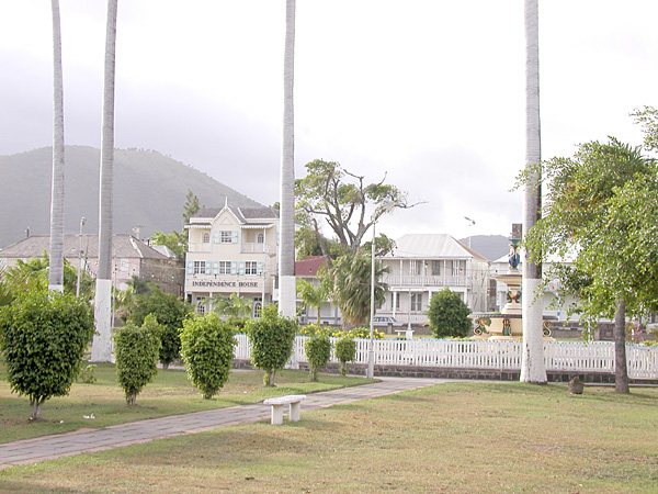
Downtown Basseterre
-

Downtown Basseterre
-

Fishing boat, Basseterre harbor
-
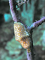
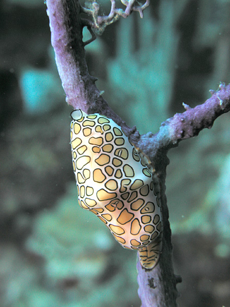
Flamingo Tongue shell on a Sea Fan
-

Divers and anemone on the MV River Taw wreck
-
Juvenile French Angelfish near a sunken van
-

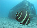
Diver and fish, MV River Taw wreck
-

Diver and sponges
-
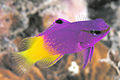
Royal Gramma or Fairy Basslet
See also
Sovereign states Dependencies and
other territories- Anguilla
- Aruba
- Bermuda
- Bonaire
- British Virgin Islands
- Cayman Islands
- Curaçao
- Greenland
- Guadeloupe
- Martinique
- Montserrat
- Navassa Island
- Puerto Rico
- Saint Barthélemy
- Saint Martin
- Saint Pierre and Miquelon
- Saba
- Sint Eustatius
- Sint Maarten
- Turks and Caicos Islands
- United States Virgin Islands
Climate of North America Sovereign states - Antigua and Barbuda
- Bahamas
- Barbados
- Belize
- Canada
- Costa Rica
- Cuba
- Dominica
- Dominican Republic
- El Salvador
- Grenada
- Guatemala
- Haiti
- Honduras
- Jamaica
- Mexico
- Nicaragua
- Panama
- Saint Kitts and Nevis
- Saint Lucia
- Saint Vincent and the Grenadines
- Trinidad and Tobago
- United States
Dependencies and
other territories- Anguilla
- Aruba
- Bermuda
- Bonaire
- British Virgin Islands
- Cayman Islands
- Curaçao
- Greenland
- Guadeloupe
- Martinique
- Montserrat
- Puerto Rico
- Saint Barthélemy
- Saint Martin
- Saint Pierre and Miquelon
- Saba
- Sint Eustatius
- Sint Maarten
- Turks and Caicos Islands
- United States Virgin Islands
Categories: -


Wikimedia Foundation. 2010.