- Fort Vermilion, Alberta
-
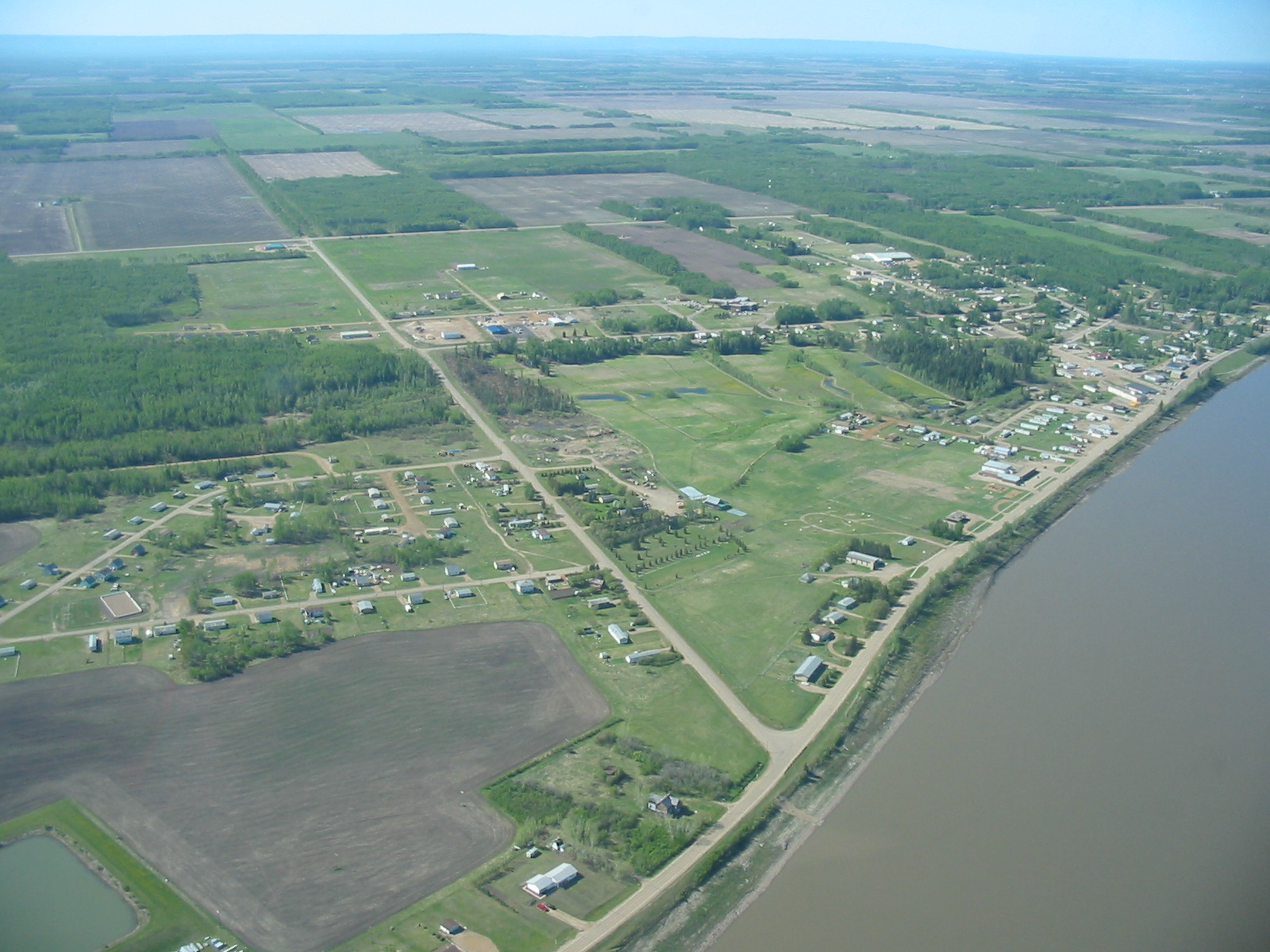
Fort Vermilion — Hamlet — Aerial View from North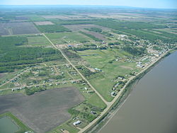
Seal
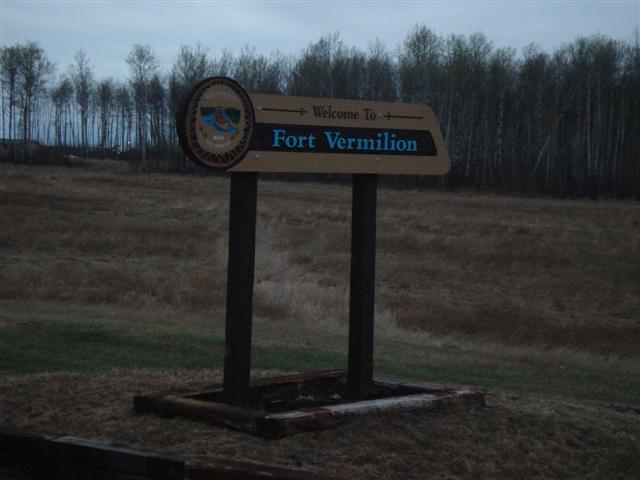
Welcome signLocation of Fort Vermilion in Alberta

Coordinates: 58°23′24″N 116°01′00″W / 58.39°N 116.0166667°WCoordinates: 58°23′24″N 116°01′00″W / 58.39°N 116.0166667°W Country  Canada
Province  Alberta
Region Northern Alberta Census division 17 Specialized municipality Mackenzie County Established 1788 (oldest in Alberta) Government[1] – Type Unincorporated – Reeve Bill Neufeld – Governing body Mackenzie County Council- Jacqueline Dawn Bateman
- Peter Braun
- Elmer Derksen
- Dicky Driedger
- John W. Driedger
- Odell Flett
- Eric Jorgensen
- Bill Neufeld
- Walter Sarapuk
- Lisa Wardley
– MP Chris Warkentin (Cons - Peace River) – MLA Frank Oberle (PC - Peace River) Area[2] – Total 6.81 km2 (2.6 sq mi) Elevation 280 m (919 ft) Population (2006)[2] – Total 714 – Density 104.8/km2 (271.4/sq mi) – Dwellings 227 Time zone MST (UTC−7) – Summer (DST) MDT (UTC−6) Postal code T0H 1N0 Area code(s) +1-780 Highways Highway 88 (Bicentennial Highway) Waterways Peace River Fort Vermilion is a hamlet in northern Alberta, Canada within Mackenzie County.[3]
Established in 1788, Fort Vermilion shares the title of oldest European settlement in Alberta with Fort Chipewyan.[4][5] Fort Vermilion contains many modern amenities to serve its inhabitants as well as the surrounding rural community. It is the seat of Mackenzie County – Alberta's largest municipality in terms of area.
The hamlet is located in census division No. 17 and in the federal riding of Peace River.
Contents
History
 The Old Bay House
The area was inhabited by Dunneza (Beaver), Dene and later Cree first nations long before the arrival of European traders and settlers.
Named for the vermilion coloured clays lining the river banks, Fort Vermilion began as a trading community for the North West Company. The fort was established in 1788, following the expeditions of Alexander MacKenzie. Winter residents would trade furs with the native trappers, then send the furs by river during the summer to exchange points to the east and then to Montreal. The fort was later transferred to the Hudson's Bay Company after the 1821 merger. By 1930, it was a prosperous fur trading post.[6]
The main access to the settlements was by means of the river, using river boats and then ferries to haul materials in the summer months, when the water was not frozen. In 1974 a bridge was built over the Peace River immediately west of Fort Vermilion, effectively ending the winter isolation of the community.
The original Old Bay House, home of the Chief Factor, still exists and is now part of the Fort Vermilion National Historic Site. It was listed as such in 1968, for its importance as site of North West Company and Hudson's Bay Company posts.[7]
The Visitor Centre is hosted in a 1923 dove-tailed log house. Built on the banks of the Peace River, it was moved to its present location in 1983. Another heritage building is the 1907 Clark House, build for the Hudson's Bay Clerk quarters, and moved in 1994 to the present location near the Visitor Centre. The Trappers Shack , built in 1912, is another dove-tailed log house. It was listed as a provincial Historic Site.[4]
Geography
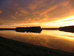 Peace River from the shore of Fort Vermilion
Fort Vermilion is located approximately 77 kilometres (48 mi) southeast of High Level and 661 kilometres (411 mi) northwest of Edmonton on the Highway 88 (Bicentennial Highway). The Hamlet of La Crête is located approximately 40 km (25 mi) southwest of Fort Vermilion on Highway 697.
The hamlet is one of the northernmost communities in the Peace River Country. Peace Country, in the aspen parkland biome, is Canada's northernmost lands suitable for agriculture. The landscape is dominated by aspen poplars and spruce, occasionally interspersed with areas of grasslands. Wildlife is abundant in the area, and include bears, moose, deer, beavers, foxes, coyotes and Canada geese.[6]
The hamlet is situated on the southern banks of the Peace River, with an elevation ranging from 255 m (837 ft) to 282 m (925 ft). The North Vermilion Settlement lies on the opposite (northern) shore of the river, while Fort Vermilion Airport is located 6 km (3.7 mi) downstream.
The climate is humid continental to subarctic, with long cold winters and short fairly warm summers. Temperatures during the winter can drop to −40 °C (−40.0 °F) to −50 °C (−58.0 °F). Summer days benefit from long hours of daylight due to its northern location.[6] Mosquitoes are a hazard during the summer months.
Education
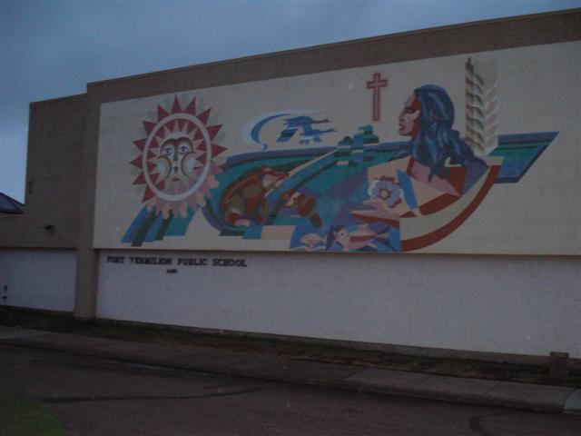
 Fort Vermilion Public School
Two schools are located in Fort Vermilion, both administered by the Fort Vermilion School Division No. 52.[8]
Fort Vermilion Public is part of the public school system and offers education from grade 6 to grade 12. Approximately 150 students attend this school. St. Mary's Elementary functions in the catholic school system and is a Kindergarten to grade 5 school. It has approximately 145 students. It will be expanded to grade 6 in 2008, and the student body is expected to grow to 180.[9]
The Northern Lakes College, established in 1999, has one of its 26 campuses in Fort Vermilion. It was previously known as Alberta Vocational Centre Grouard, and offered education to first nation students.[10]
Infrastructure
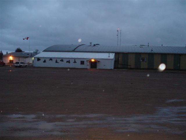
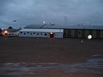 Community Complex
The Community Complex includes a hockey rink, a dance hall and a curling rink. The Fort Vermilion Heritage Centre manages 25 sites (listed as both provincial and national historic sites), including the old log houses, the Dominion Experimental Farm, first nations and natural history exhibits.[11]
St. Theresa's Hospital is a facility built in 1983, offering 36 acute care beds and 10 long term care beds. It employs approximately 76 health workers, and is administered by the Northern Lights Health Region.[12] The Provincial Court of Alberta maintains a circuit court in Fort Vermilion,[13] with the base point located in High Level. The court is hosted in the old hospital building.
The Fantasy North Golf & Country Club is a 9 hole golf course with a 150 years history. Additional facilities include a mini golf park, driving range and clubhouse.
The hamlet also has by a public library[14] and four churches. The St. Luke's Anglican Church Cemetery dates back to 1877. Located east of the settlement is the Fort Vermilion Airport (TC LID: CEZ4), administered by the Mackenzie County. It has a small airstrip that serves Fort Vermilion as well as other settlements in the surrounding area.
The Rodeo Grounds are located 5 kilometres (3.1 mi) south-west of the community, and hosts a rodeo every year in July (check for dates). The event features cattle roping and bucking broncos along with other competition. Other events and festivals held in Fort Vermilion include Canada Day celebrations, Town and Country Fair, River Daze and Arts and Crafts Show.
Demographics
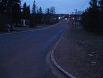 Main Street
As of 2006, Fort Vermilion had a total population of 714 living in 227 dwellings. With a land area of 6.81 km2 (2.63 sq mi), it has a population density of 104.8 /km2 (271 /sq mi).[2]
Industry Canada shows that Fort Vermilion's greater rural area had a total population of 1,326 living in 395 dwellings in 2001. With a land area of 1,027.44 km2 (396.70 sq mi), its greater rural area has a population density of 17.0 /km2 (44 /sq mi).[15]
Famous residents
Fort Vermilion was the childhood home of writers - and brothers - Will Ferguson and Ian Ferguson. Will vividly describes his childhood there in his travel memoirs Beauty Tips from Moose Jaw. Among other things he mentions that the town was included in the 1976 version of Ghost Towns of Alberta, much to the chagrin of its residents at that time.
Fort Vermilion was also the home of rodeo bare-back riding champion Kenton Randle, who represented Canada in the 2002 Winter Olympics in Salt Lake City.[4]
See also
- List of communities in Alberta
- List of hamlets in Alberta
References
- ^ "Municipal Officials Search". Alberta Municipal Affairs. November 11, 2011. http://www.municipalaffairs.alberta.ca/mc_municipal_officials_search.cfm. Retrieved November 11, 2011.
- ^ a b c Statistics Canada (2007). "Population and dwelling counts, for Canada, provinces and territories, and designated places, 2006 and 2001 censuses". http://www12.statcan.ca/english/census06/data/popdwell/Table.cfm?T=1302&SR=1&S=1&O=A&RPP=9999&PR=48&CMA=0. Retrieved 2010-01-30.
- ^ Alberta Municipal Affairs (2010-04-01). "Specialized and Rural Municipalities and Their Communities". http://municipalaffairs.gov.ab.ca/documents/msb/2010-ruralmun.pdf. Retrieved 2010-06-29.
- ^ a b c Discover the Peace Country. "Hamlet of Fort Vermilion". http://www.discoverthepeacecountry.com/htmlpages/fortvermilion.html. Retrieved 2007-02-13.
- ^ Athabasca Tribal Council - Athabasca Chipewyan First Nation
- ^ a b c St. Mary's School. "About Fort Vermilion". http://www.fvsd.ab.ca/stm/All%20about%20our%20School.htm. Retrieved 2008-02-16.
- ^ Parks Canada. "Fort Vermilion National Historic Site of Canada". http://www.pc.gc.ca/apps/lhn-nhs/det_E.asp?oqSID=0025&oqeName=Fort+Vermilion&oqfName=Fort+Vermilion. Retrieved 2008-02-16.
- ^ "Fort Vermilion School District". http://www.fvsd.ab.ca/. Retrieved 2007-02-13.
- ^ "St. Mary's School". http://www.fvsd.ab.ca/stm/default.htm. Retrieved 2008-02-16.
- ^ "Northern Lakes College". Archived from the original on 2007-09-21. http://web.archive.org/web/20070921102332/http://www.northernlakescollege.ca/about/about_college_history.cfm. Retrieved 2008-02-15.
- ^ Alberta Online Encyclopedia. "Fort Vermilion Heritage Centre". http://www.albertasource.ca/spiritofthepeace/collections/collections_fort_vermilion.htm. Retrieved 2008-08-16.
- ^ Northern Lights Health Region. "St. Theresa General Hospital". http://www.nlhr.ca/Hospitals_Facilities/Clinics_Facilities_community.aspx?id=130. Retrieved 2008-02-16.[dead link]
- ^ Provincial Court of Alberta. "Provincial Court Fort Vermilion". http://www.albertacourts.ab.ca/ProvincialCourt/LocationsSittings/Detail/tabid/257/loc/Fort%20Vermilion/Default.aspx. Retrieved 2008-02-16.
- ^ "Fort Vermilion Community Library". http://www.fortvermilioncommunitylibrary.com/. Retrieved 2008-02-16.
- ^ Industry Canada/Web Archive (2006-11-04). "Fort Vermilion - Community demographics (2001 census)". http://www.collectionscanada.gc.ca/webarchives/20061104084225/http://broadband.gc.ca/maps/province.html?prov=48. Retrieved 2010-02-07.

Hay River Wood Buffalo National Park High Level 
Wood Buffalo National Park  Fort Vermilion

La Crête
ManningSlave Lake Wabasca  Subdivisions of Alberta
Subdivisions Regions · Census divisions · Municipal districts (counties) · Specialized municipalities · School districts · Regional health authoritiesCommunities Cities · Towns · Villages · Summer villages · Hamlets · Indian reserves · Métis settlements · Ghost towns · Designated placesCities and Urban
Service AreasAirdrie · Brooks · Calgary · Camrose · Cold Lake · Edmonton (capital) · Fort McMurray · Fort Saskatchewan · Grande Prairie · Lacombe · Leduc · Lethbridge · Lloydminster · Medicine Hat · Red Deer · Sherwood Park · Spruce Grove · St. Albert · WetaskiwinCategories:- Hamlets in Alberta
- Municipal seats in Alberta
- Hudson's Bay Company forts
- Designated places in Alberta
- National Historic Sites in Alberta
- Hudson's Bay Company trading posts
- Mackenzie County, Alberta
- Fur trade National Historic Sites of Canada
- Fort or trading post National Historic Sites of Canada


Wikimedia Foundation. 2010.