- List of crossings of the Murray River
-
The Murray River in south-eastern Australia has been a significant barrier to land-based travel and trade. This article lists and briefly describes all of the recognised crossing points. Many of these had also developed as river ports for transport of goods along the Murray. Now almost every significant town along the river has a bridge or vehicle-carrying cable ferry nearby.
The crossings are listed in order starting from the Murray Mouth and proceeding upstream.
Contents
South Australia
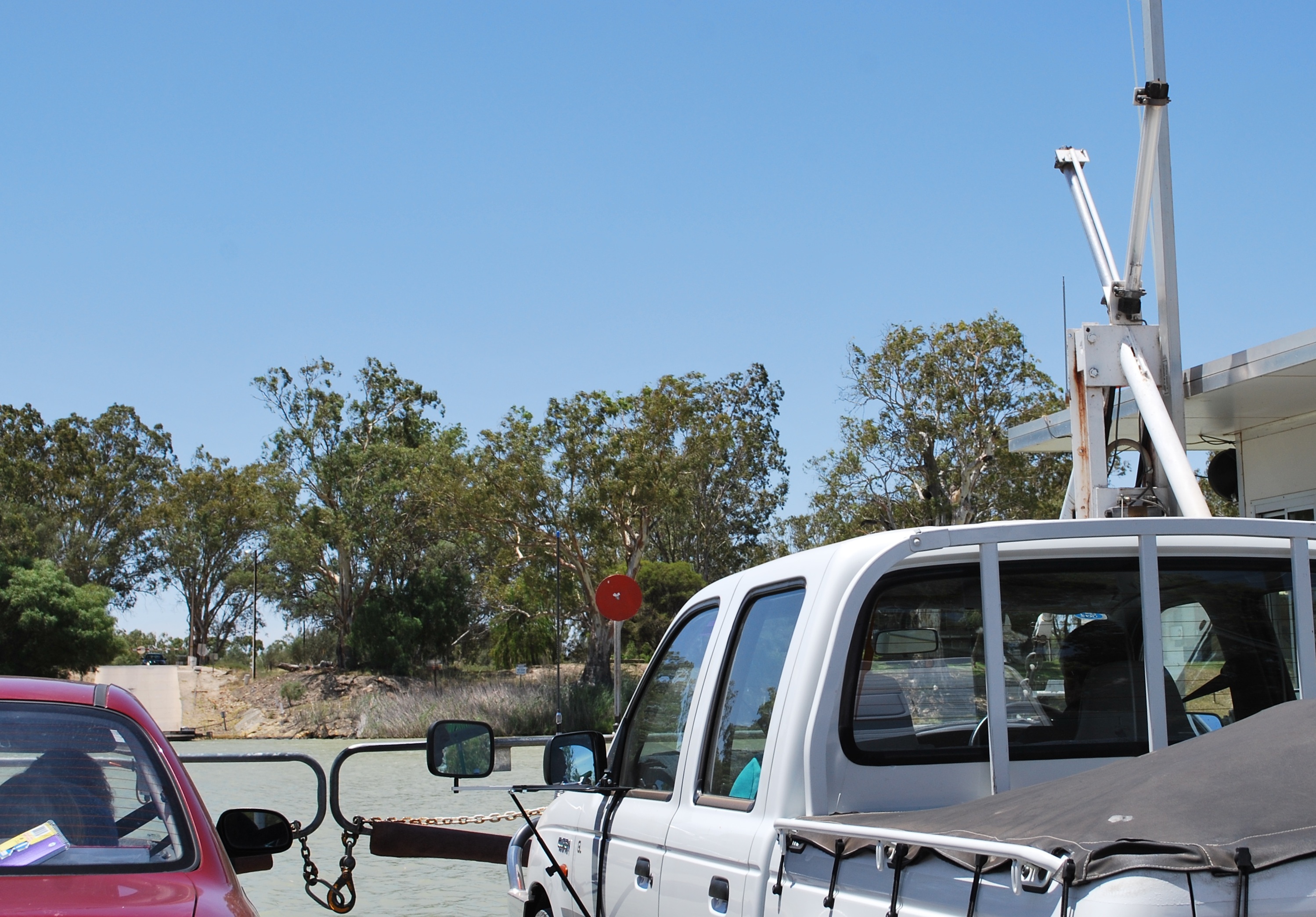
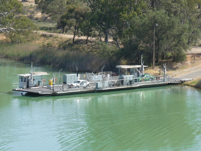
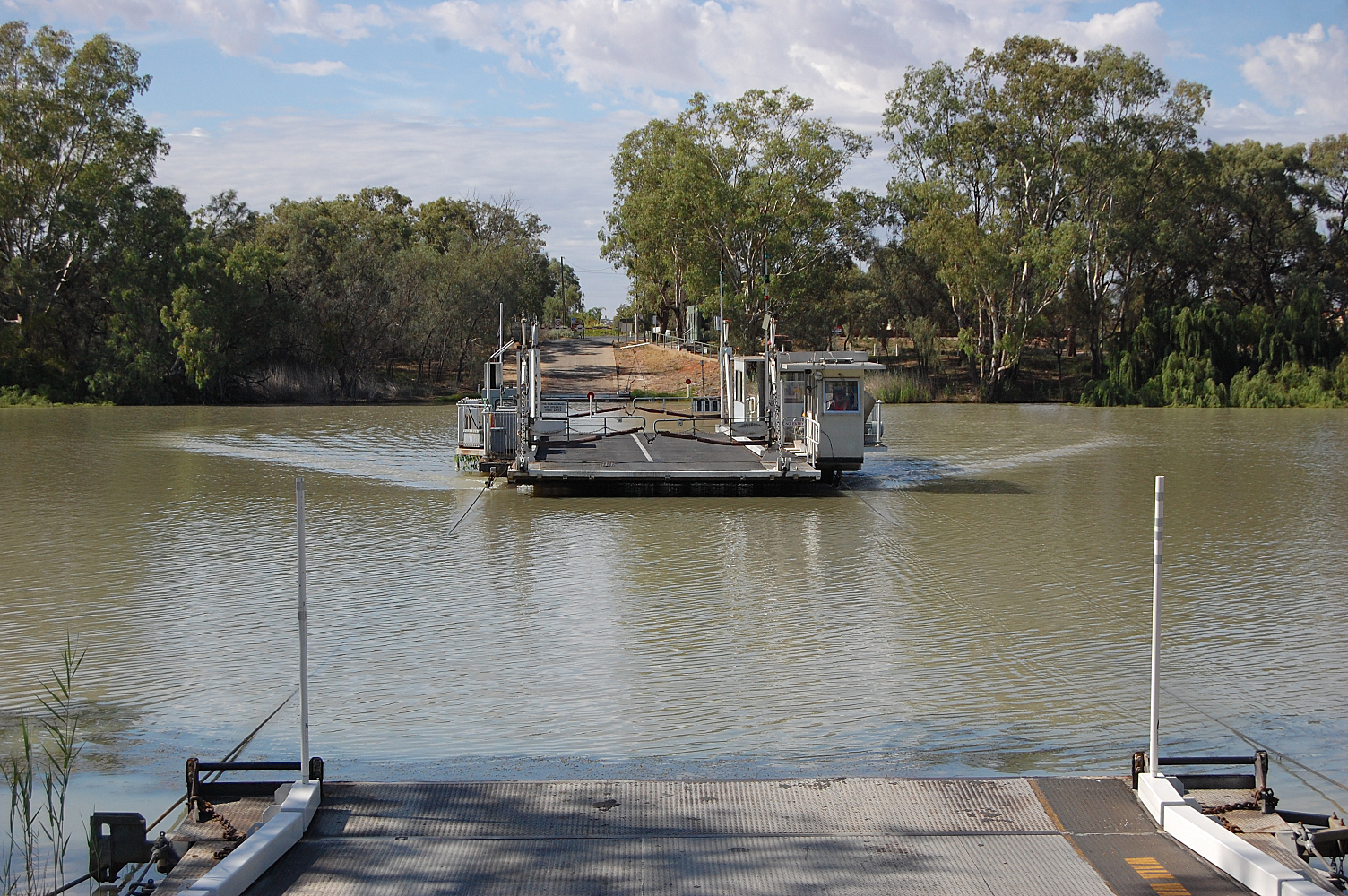
Image Crossing Coordinates Location Built Description Notes 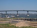
Hindmarsh Island Bridge 35°30′17″S 138°47′21″E / 35.50472°S 138.78917°E Hindmarsh Island-Goolwa 2001 The controversial bridge replaced a ferry in March 2001 Narrung Ferry 35°30′46″S 139°11′17″E / 35.51278°S 139.18806°E Narrung crosses The Narrows between Lake Alexandrina and Lake Albert 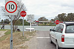
Wellington Ferry 35°19′51″S 139°23′8″E / 35.33083°S 139.38556°E Wellington Tailem Bend Ferry 35°15′26″S 139°27′8″E / 35.25722°S 139.45222°E Tailem Bend-Jervois 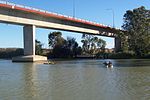
Swanport Bridge 35°08′51″S 139°18′33″E / 35.1475°S 139.30917°E Murray Bridge 1979 At the end of the South Eastern Freeway 
Murray Bridge 35°06′55″S 139°16′48″E / 35.11528°S 139.28°E Murray Bridge 1927 (rail) 1879 (road) Two bridges, side by side 
Mannum Ferry 34°54′37″S 139°19′7″E / 34.91028°S 139.31861°E Mannum Two parallel ferries Purnong Ferry 34°51′17″S 139°37′0″E / 34.85472°S 139.616667°E Purnong This is the narrowest crossing in South Australia 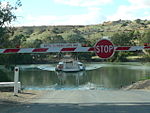
Walker Flat Ferry 34°45′13″S 139°34′8″E / 34.75361°S 139.56889°E Walker Flat Swan Reach Ferry 34°33′51″S 139°35′50″E / 34.56417°S 139.59722°E Swan Reach Blanchetown Bridge 34°20′43″S 139°37′2″E / 34.34528°S 139.61722°E Blanchetown 1963 The original bridge was constructed in 1963 on the Sturt Highway. there had been a ferry crossing since 1869. It was the first major prestressed concrete highway bridge in South Australia. In the 1990s it was found to not be structurally sound enough to safely carry B-double trucks. Until a new bridge could be built, these were diverted from near Monash via Morgan and Eudunda to rejoin the highway at Gawler, thus travelling further but avoiding the Kingston and Blanchetown bridges. 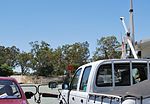
Morgan Ferry 34°02′19″S 139°40′24″E / 34.03861°S 139.67333°E Morgan Cadell Ferry 34°01′32″S 139°45′45″E / 34.02556°S 139.7625°E Cadell 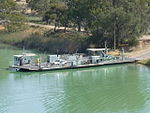
Waikerie Ferry 34°10′30″S 139°59′13″E / 34.175°S 139.98694°E Waikerie 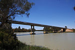
Kingston on Murray bridge 34°13′37″S 140°21′59″E / 34.22694°S 140.36639°E Kingston-on-Murray 1969 Sturt Highway A bridge replaced a ferry 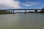
Berri Bridge 34°17′22″S 140°35′59″E / 34.28944°S 140.59972°E Berri 1997 A bridge replaced two ferries 
Lyrup Ferry 34°15′8″S 140°38′54″E / 34.25222°S 140.64833°E Lyrup 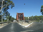
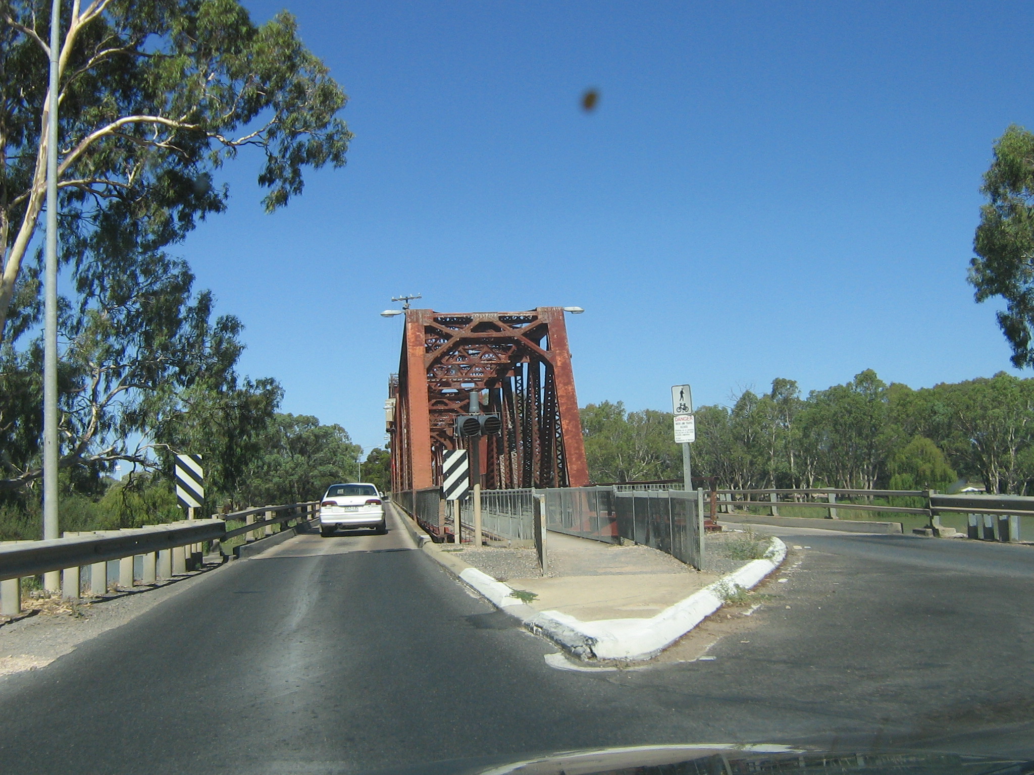
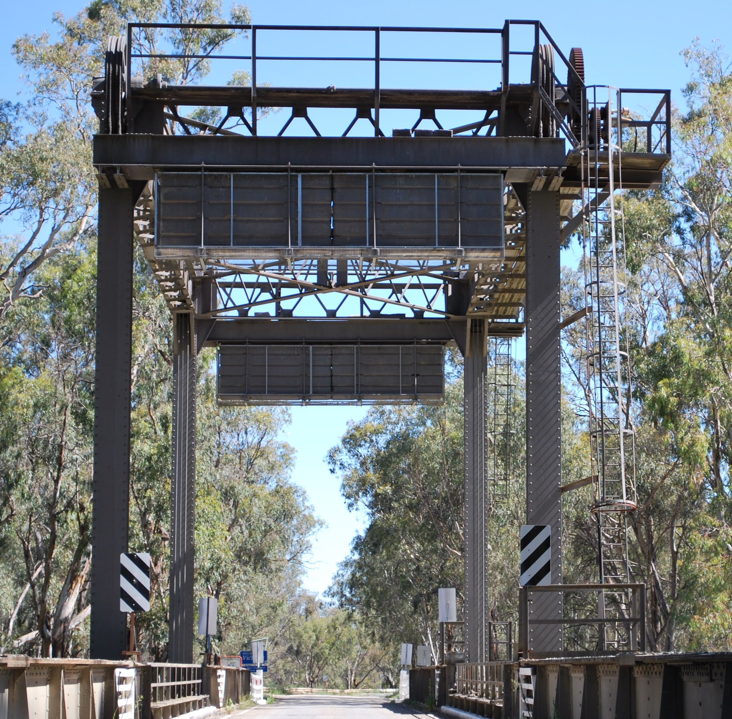
Paringa Bridge 34°10′51″S 140°46′33″E / 34.18083°S 140.77583°E Paringa-Renmark 1926 Sturt Highway, liftspan bridge - one lane of traffic each way with pedestrian/bike path in the middle on a former railway alignment. 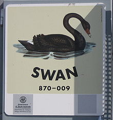 Ferry nameboard
As the ferries are registered as boats, each one has a name, usually named after a waterbird. As of August 2010, the ferry names are: [1]
- Narrung: Gull
- Wellington: Quail
- Tailem Bend: Plover
- Mannum large (downstream): Swan
- Mannum (small, upstream): Swallow
- Purnong: Kingfisher
- Walker Flat: Stilt II
- Swan Reach: Coot
- Morgan: Heron
- Cadell: Ibis
- Waikerie: Water Hen
- Lyrup: Avocet
In Victoria and New South Wales
The south bank of the river forms the border between these two states and former colonies, so in many cases there is a town on each side of the river. If two towns are named in this list, the Victorian one is first for clarity and consistency.
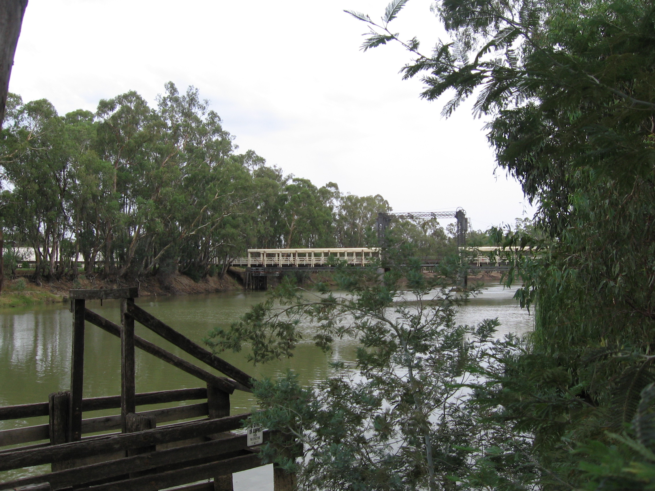
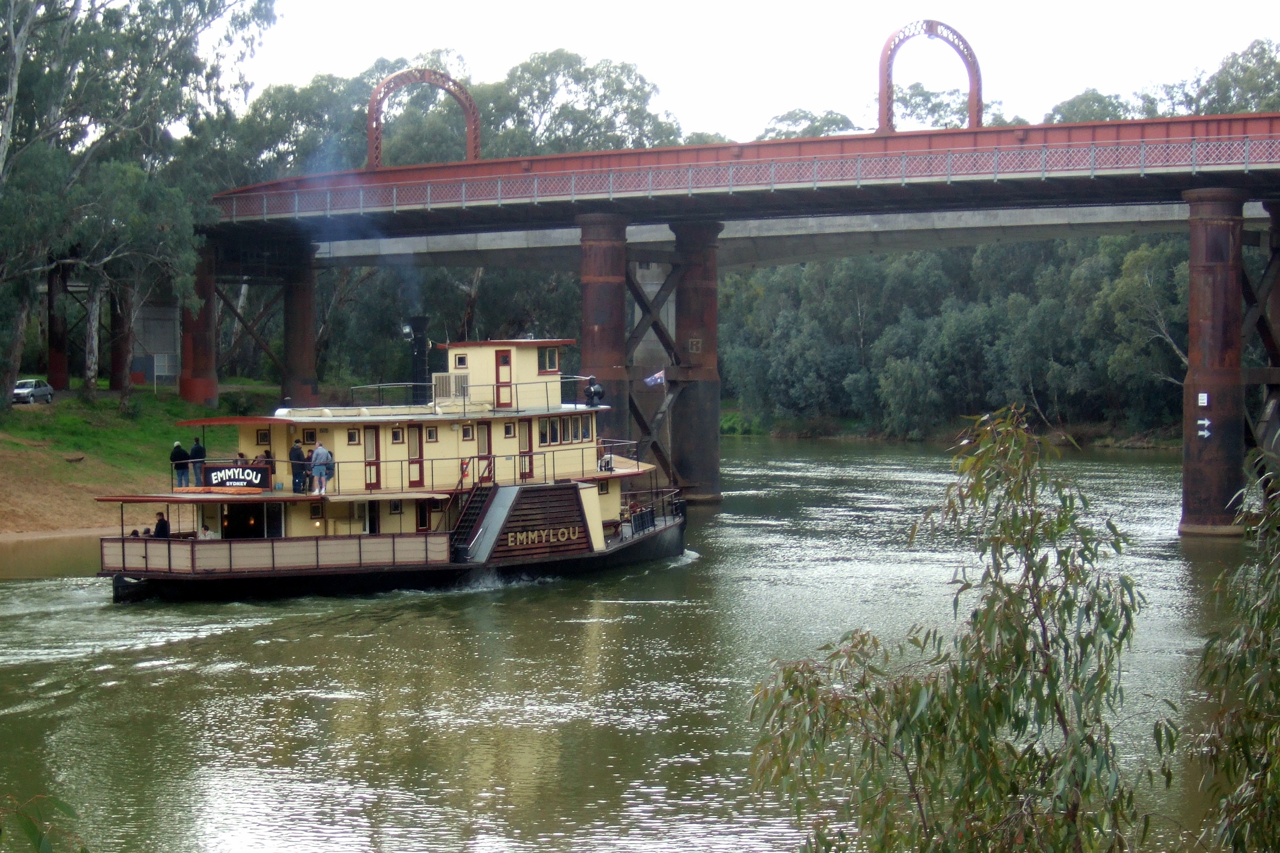
Most of the bridges downstream of Echuca are liftspan bridges to enable paddlesteamer traffic to pass underneath even in times of high water flow.
The Hume, Newell and Sturt Highway bridges are owned and managed by the Federal Government. The others are the responsibility of New South Wales and Victoria.
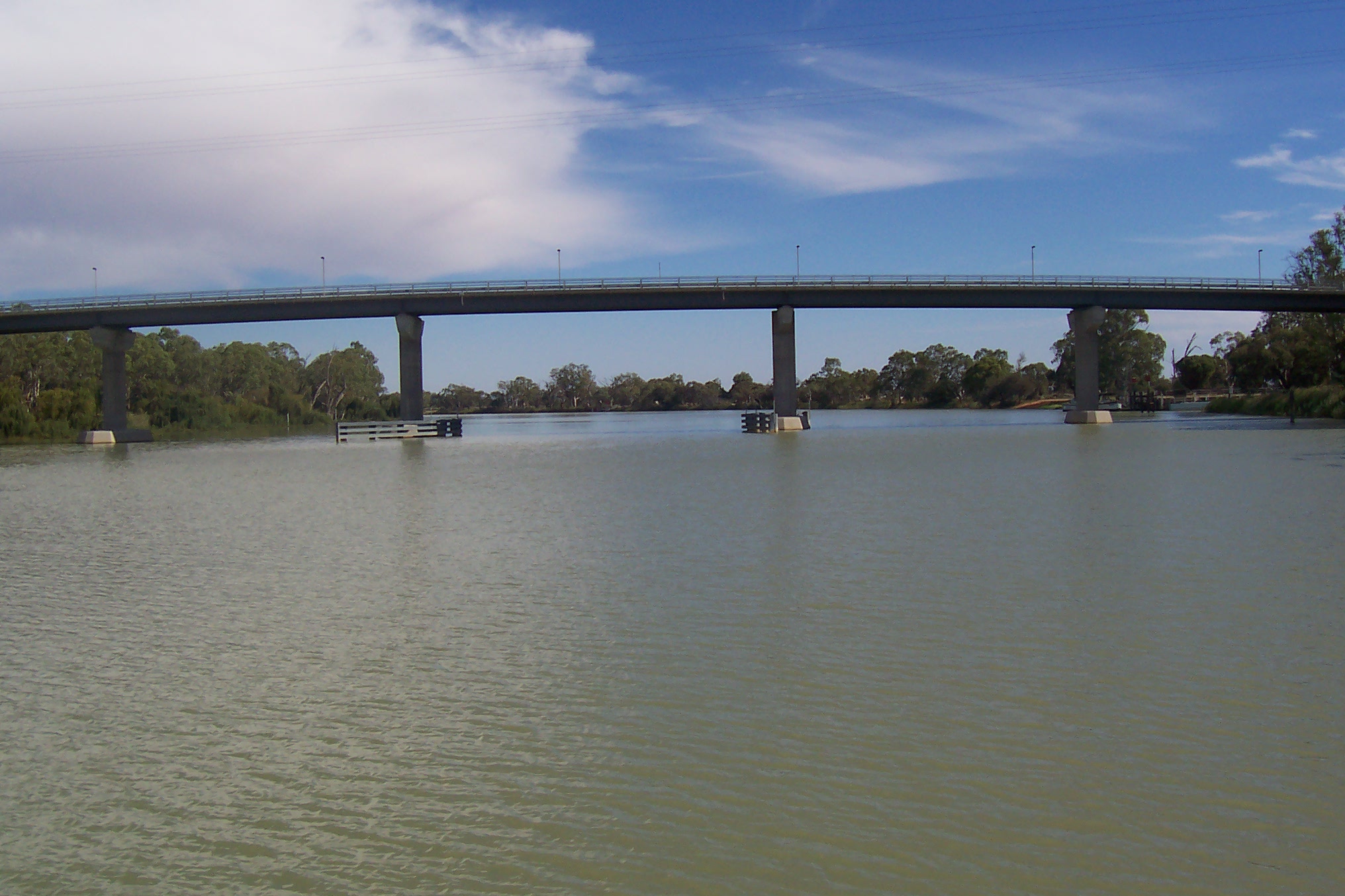
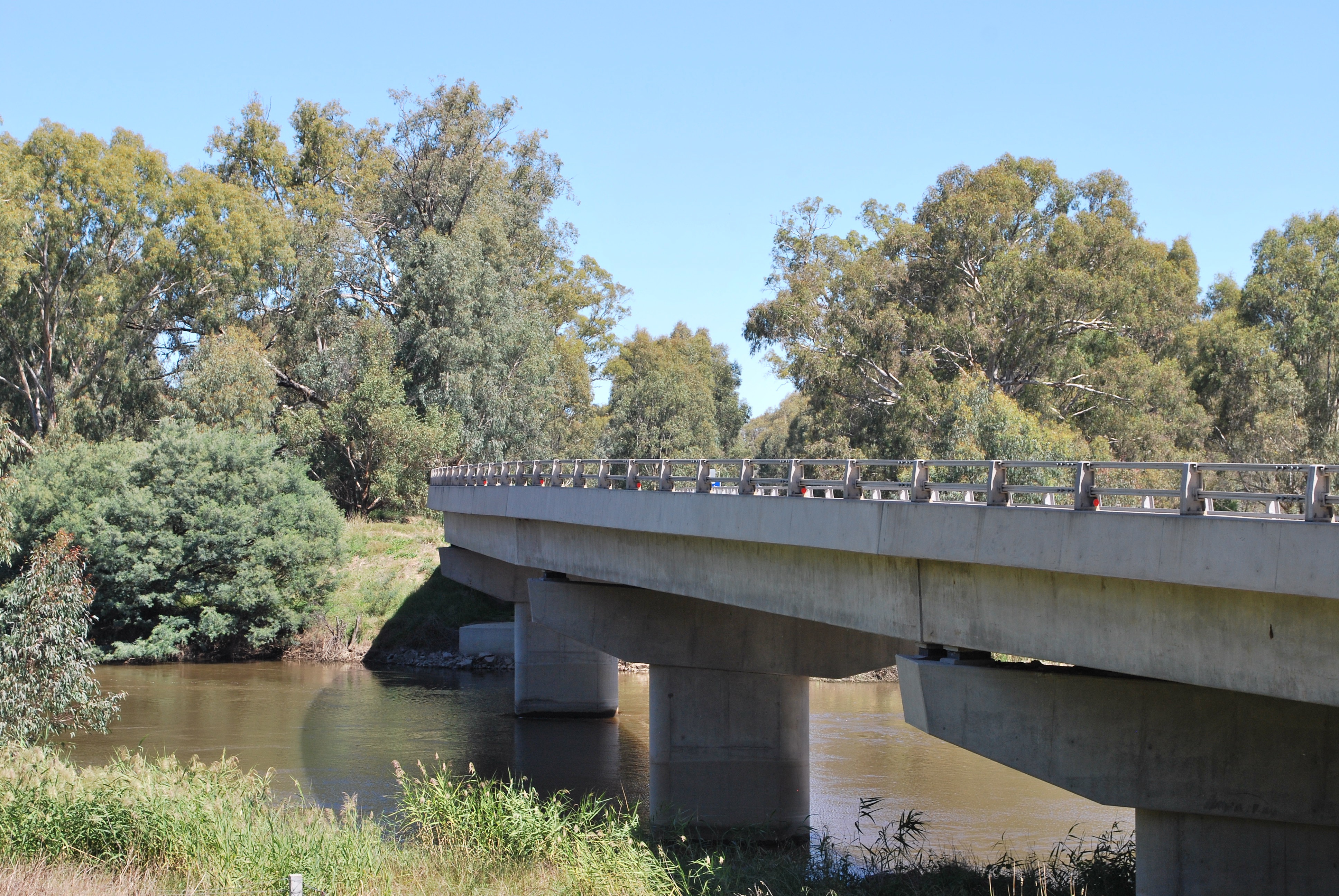
Image Crossing Coordinates Location Built Description Notes 
Abbotsford Bridge 34°06′50″S 141°59′17″E / 34.11389°S 141.98806°E Yelta to Curlwaa 1928 235 metres (771 ft) long, single lane lift bridge 
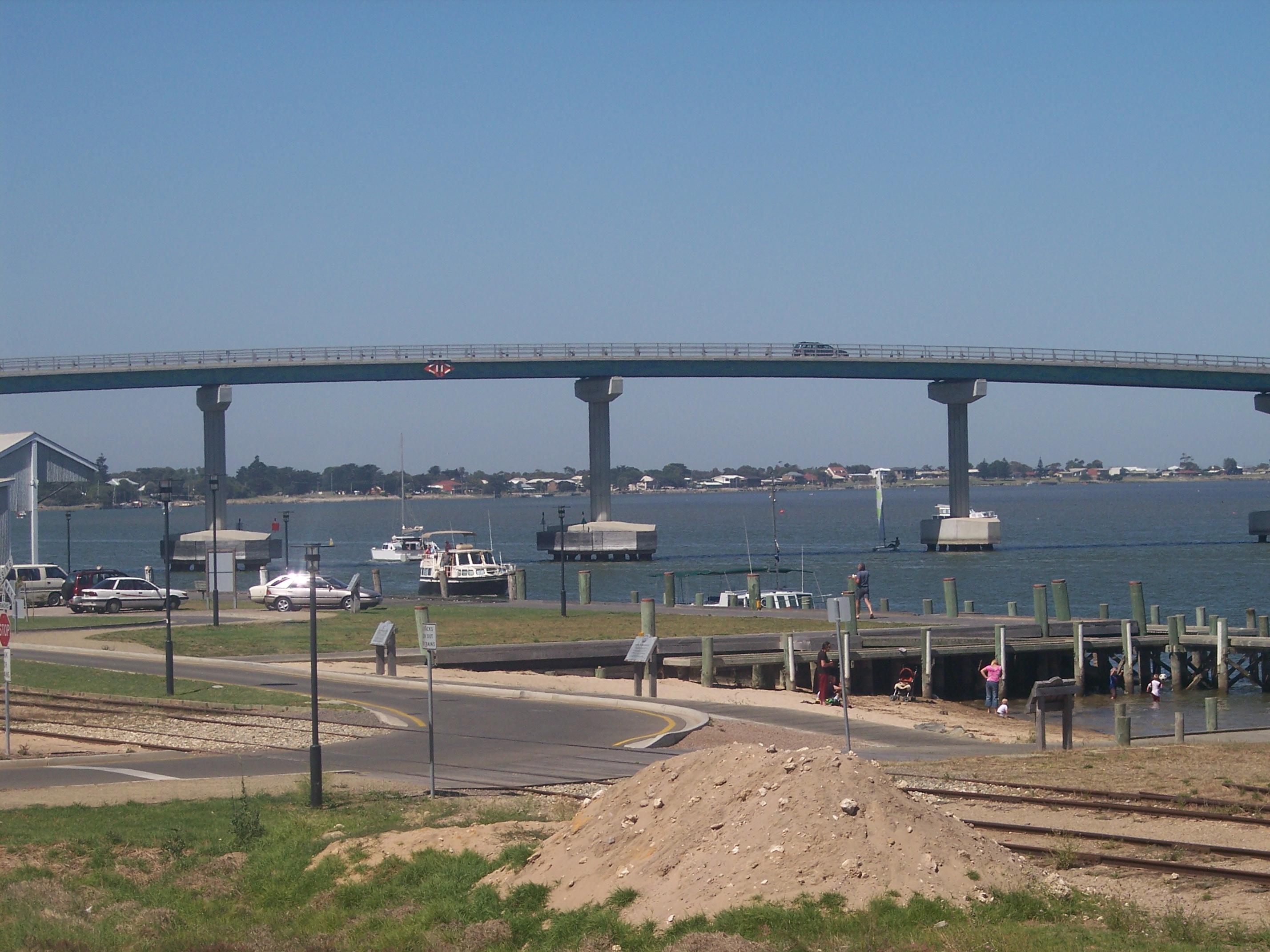
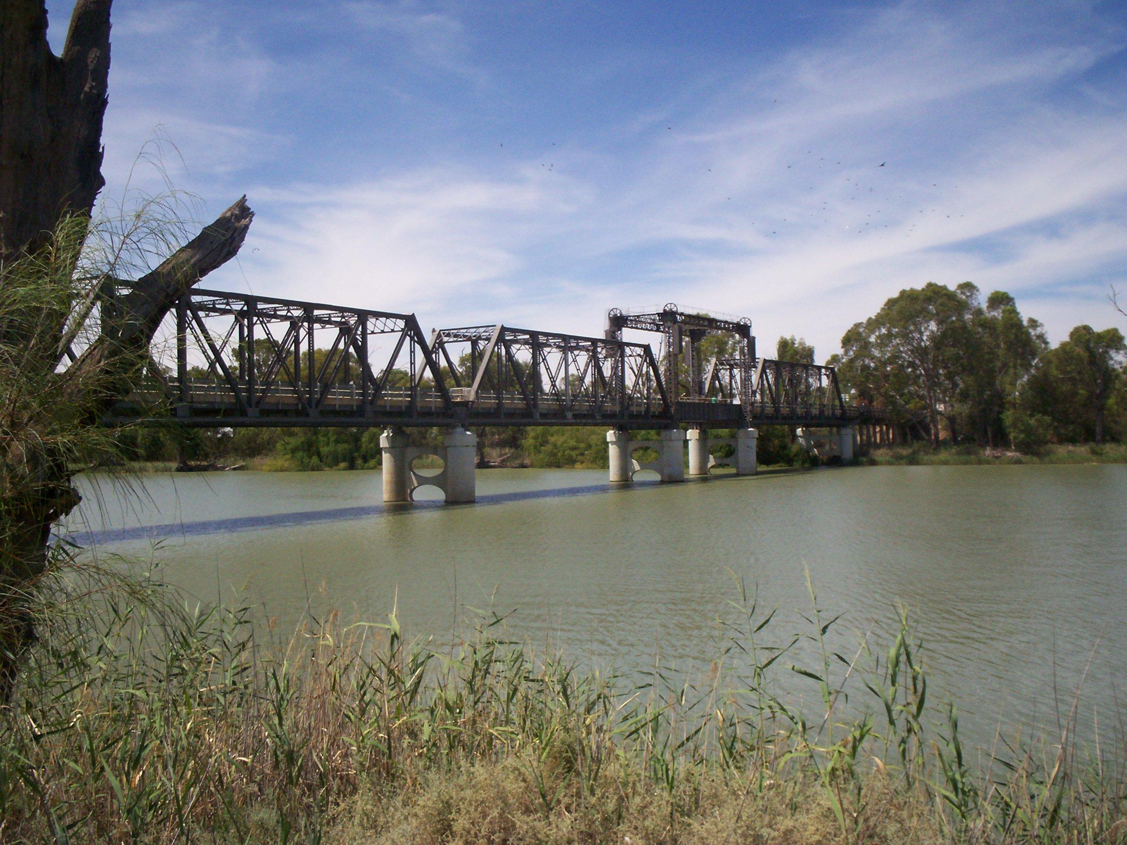
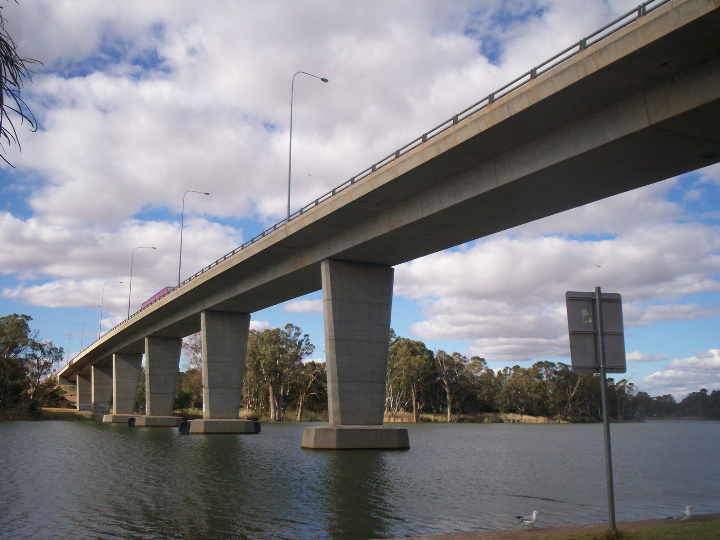
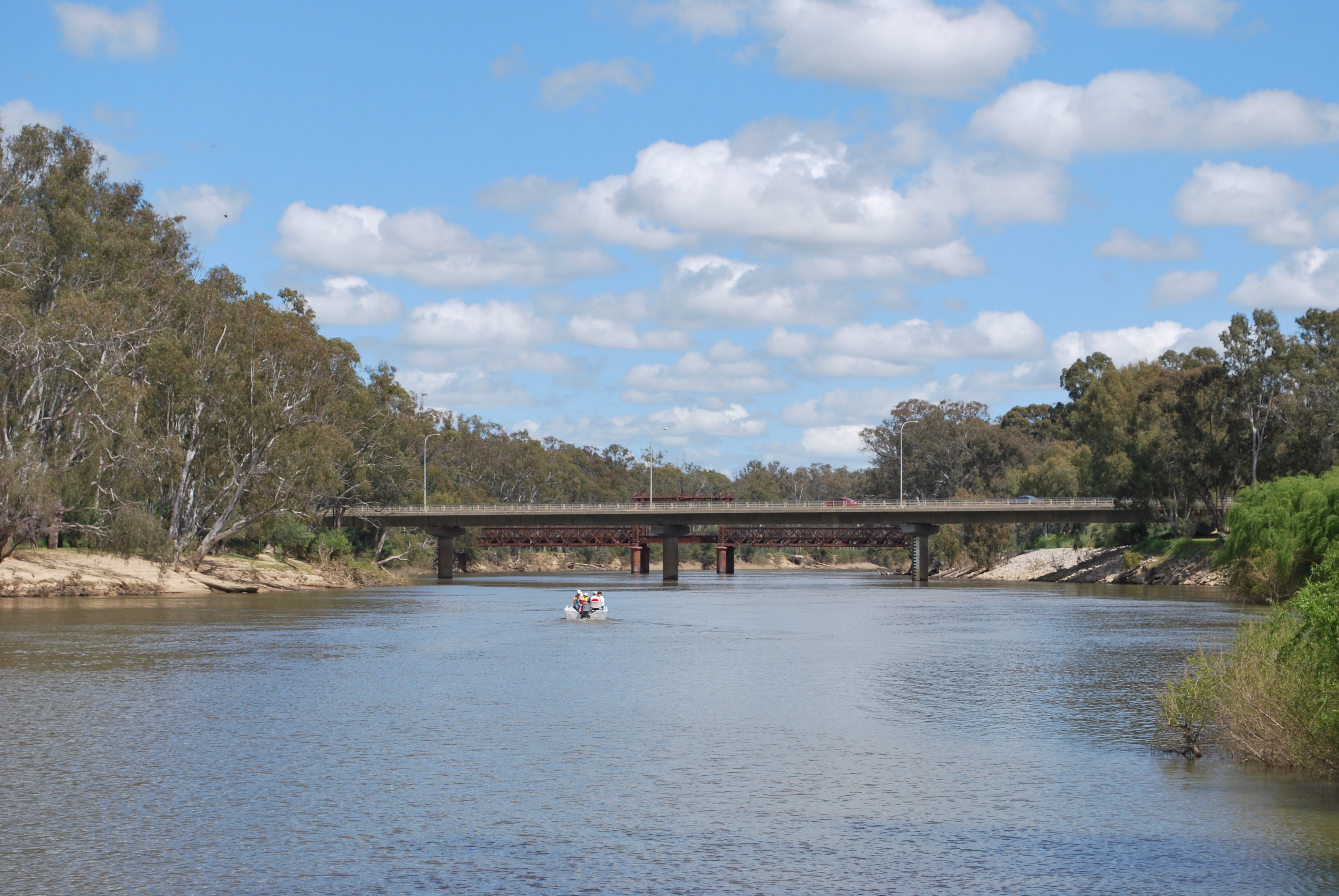
George Chaffey bridge 34°10′59″S 142°10′24″E / 34.18306°S 142.17333°E Mildura to Buronga 1985 high arched bridge carrying the Sturt Highway, 331 metres (1,086 ft) long, 9.8 metres (32.2 ft) wide Robinvale-Euston Bridge 34°34′40″S 142°46′3″E / 34.57778°S 142.7675°E Robinvale to Euston 2006 Replaced a liftspan bridge that was built as part of abandoned railway extension in 1924.[1]. 
Tooleybuc Bridge 35°01′49″S 143°20′7″E / 35.03028°S 143.33528°E Piangil to Tooleybuc 1925 timber and steel truss, single lane restriction on lift span 
Nyah Bridge 35°10′22″S 143°23′30″E / 35.17278°S 143.39167°E Nyah to Koraleigh 1941 104 metres (341.2 ft), central lift span 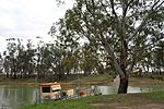
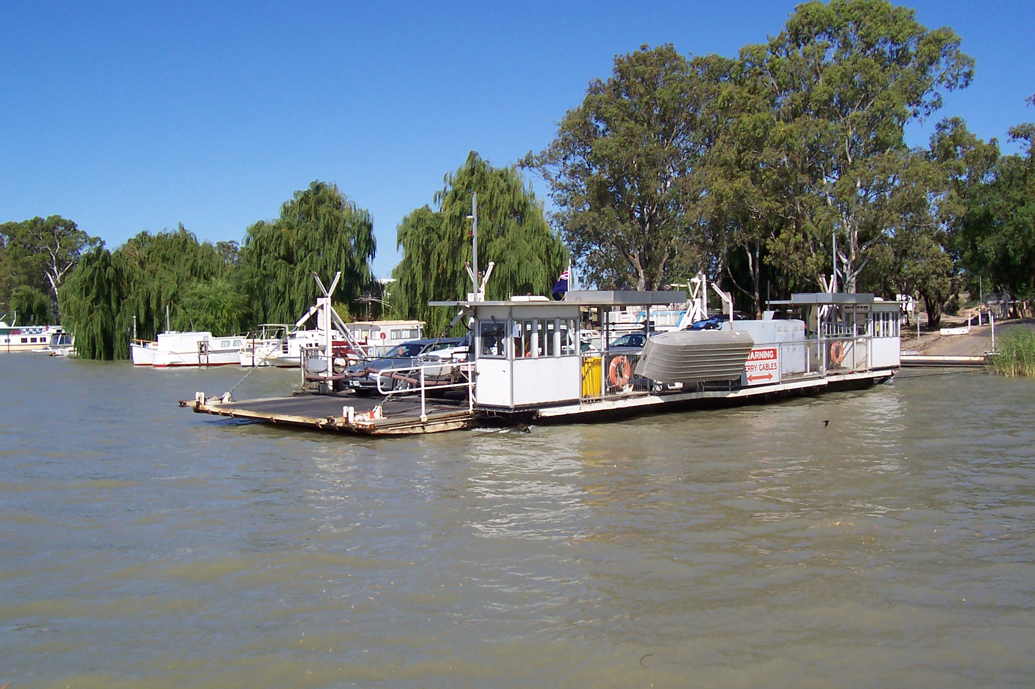
Speewa Ferry 35°12′49″S 143°30′31″E / 35.21361°S 143.50861°E Speewa 2-car capacity, 8 tonne (8.8 t) load limit 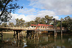
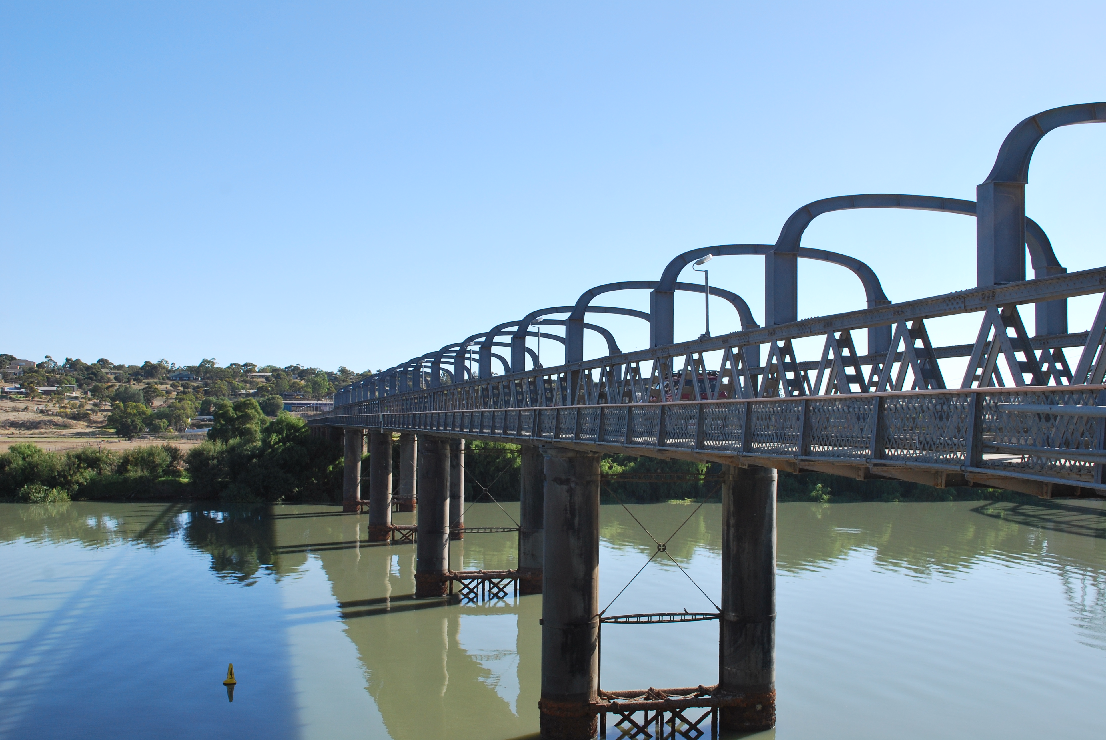
Swan Hill Bridge 35°20′16″S 143°33′46″E / 35.33778°S 143.56278°E Swan Hill 1896 2 lanes except central lift span; 116 metres (380.6 ft) 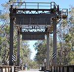
Gonn Crossing Bridge 35°30′13″S 143°57′24″E / 35.50361°S 143.95667°E Murrabit to Ballbank 1926 103 metres (338 ft) 
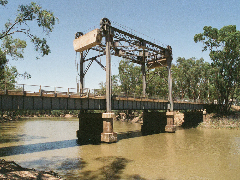
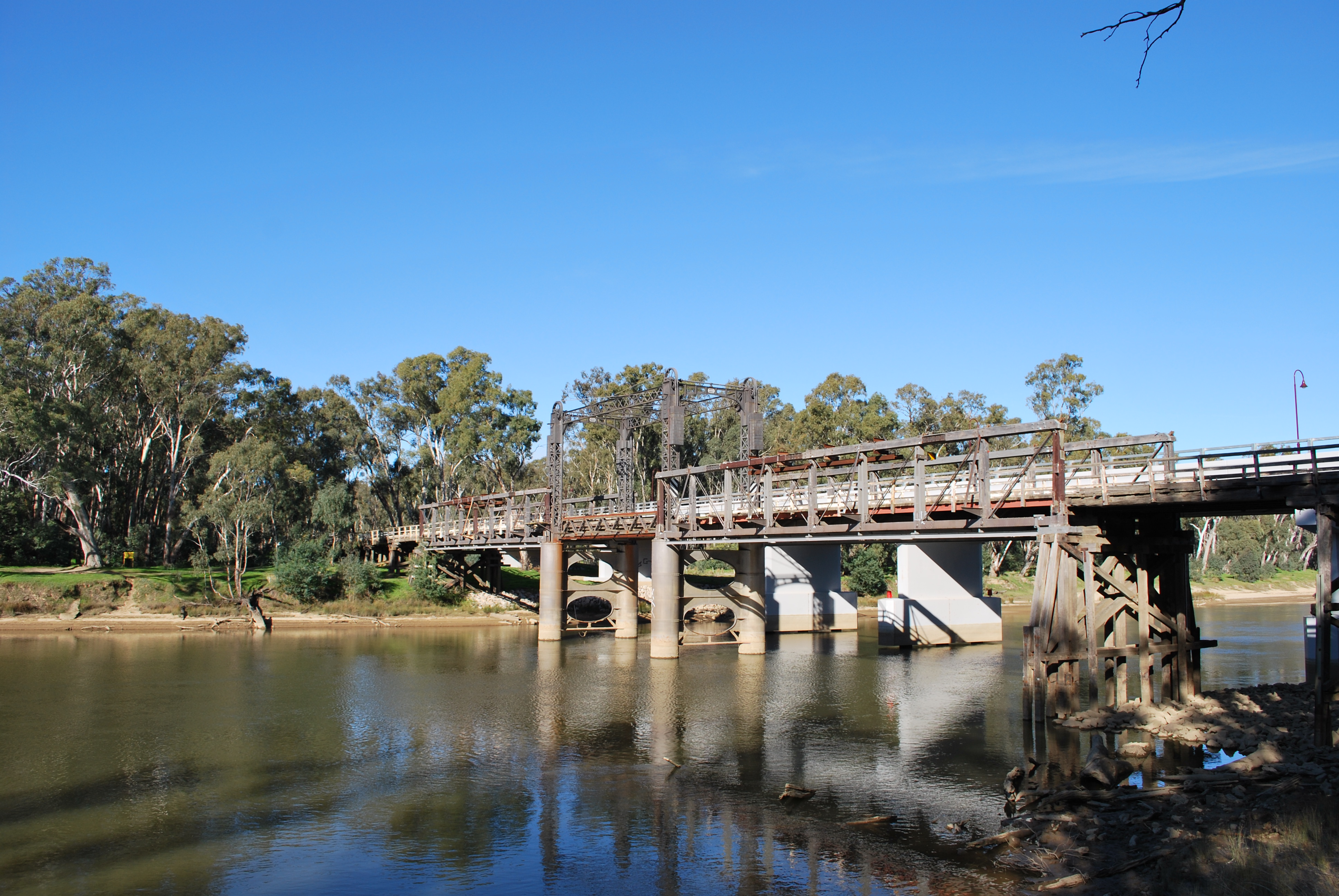
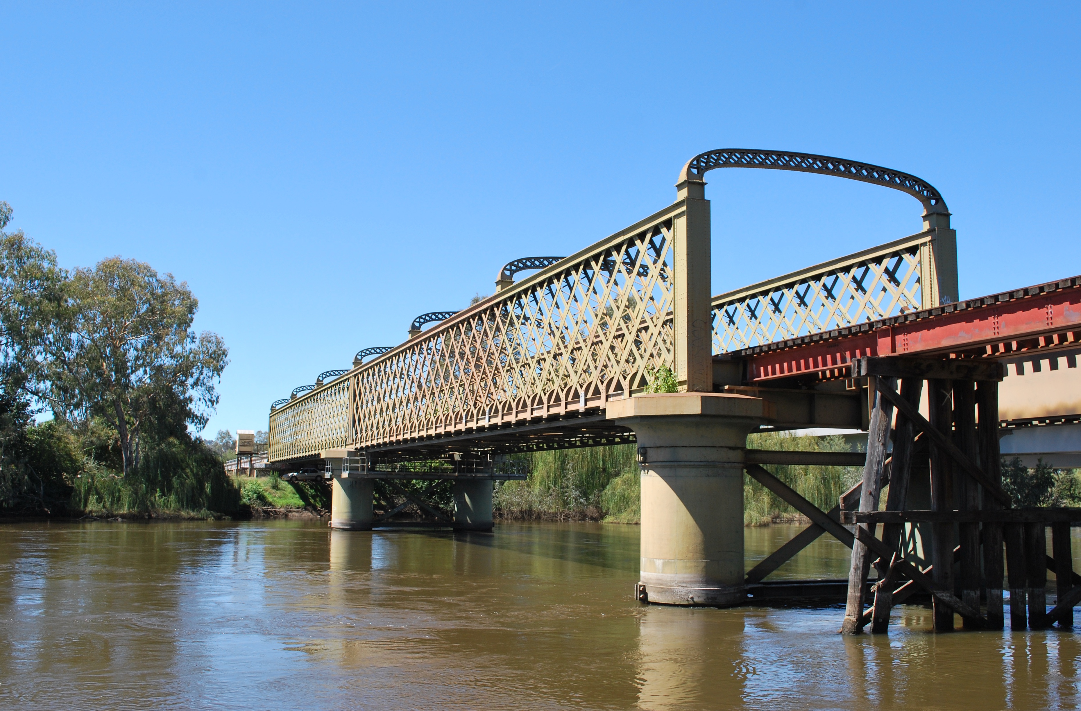
Barham Bridge 35°37′50″S 144°07′29″E / 35.63056°S 144.12472°E Koondrook to Barham 1904 liftspan bridge, 99 metres (325 ft) 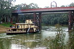
Echuca-Moama Bridge (road) 36°07′19″S 144°45′13″E / 36.12194°S 144.75361°E Echuca to Moama 1879 built as joint road/rail bridge, proposed for replacement/bypass 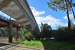
Echuca-Moama Bridge (rail) 36°07′19″S 144°45′13″E / 36.12194°S 144.75361°E 1989 rail 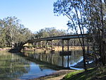
Barmah Bridge 36°01′8″S 144°57′19″E / 36.01889°S 144.95528°E Barmah 1966 168 metres (551.2 ft) replaced ferry 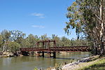
Tocumwal Rail Bridge 35°48′50″S 145°33′24″E / 35.81389°S 145.55667°E Tocumwal 1895 originally a road/rail bridge 
Tocumwal bridge (road) 35°48′47″S 145°33′32″E / 35.81306°S 145.55889°E 1987 Newell Highway 212 metres (695.5 ft) long, 12 metres (39.4 ft) wide 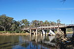
Cobram-Barooga Bridge (old) 35°54′57″S 145°40′9″E / 35.91583°S 145.66917°E Cobram to Barooga 1902 Old liftspan timber truss bridge (now pedestrian only) 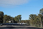
Cobram-Barooga Bridge (new) 35°54′58″S 145°40′9″E / 35.91611°S 145.66917°E 2006 New concrete bridge built immediately upstream of the old bridge 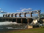
Yarrawonga Weir 36°00′31″S 145°59′57″E / 36.00861°S 145.99917°E Yarrawonga to Mulwala 1939 Weir Road, one lane along the weir wall - originally designated as a stock route 
Yarrawonga Rail Bridge 36°00′29″S 145°59′59″E / 36.00806°S 145.99972°E 1989 railway bridge, replaced earlier wooden bridge and earthen embankment 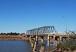
Mulwala Bridge 36°00′20″S 146°00′18″E / 36.00556°S 146.005°E 1924 Crosses Lake Mulwala, 488 metres (1,601 ft) 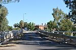
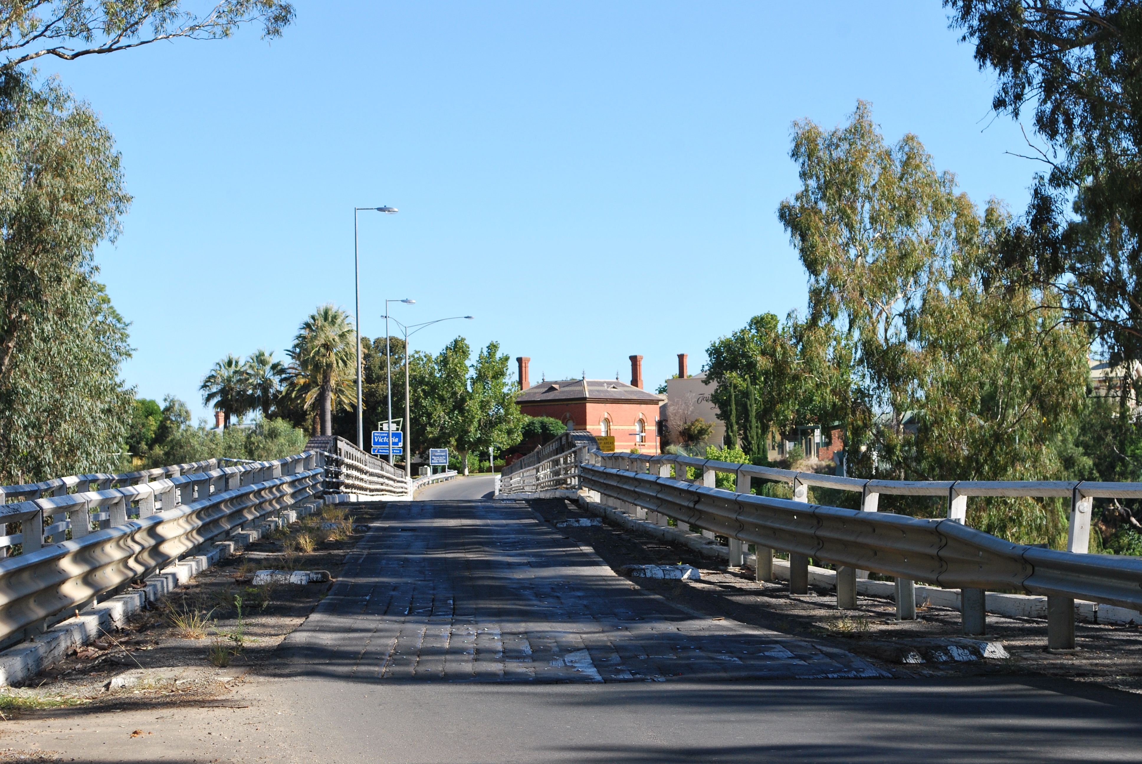
John Foord Bridge 36°00′25″S 146°23′43″E / 36.00694°S 146.39528°E Wahgunyah to Corowa 1892 retained for local traffic 
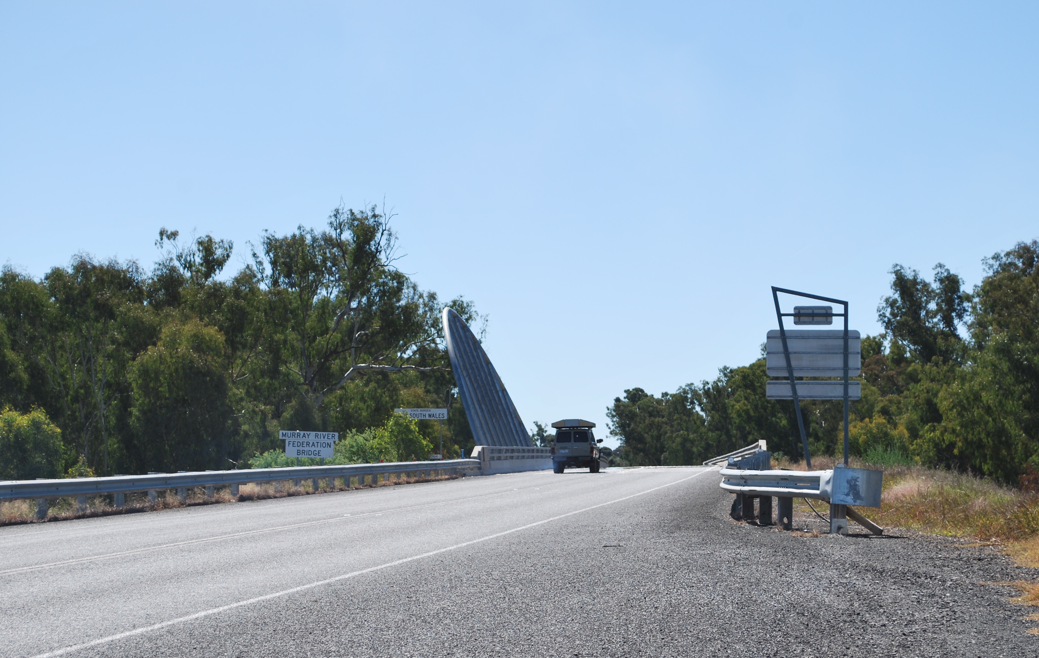
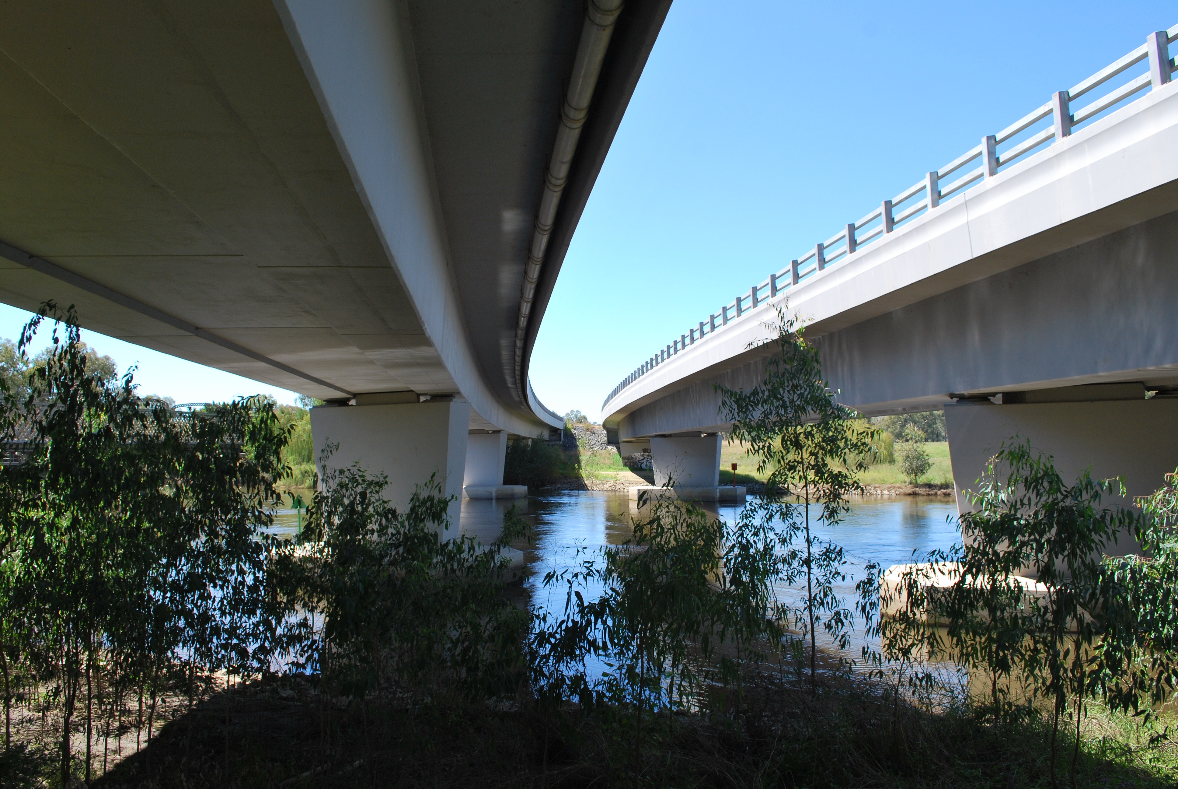
Federation Bridge 35°59′8″S 146°24′40″E / 35.98556°S 146.41111°E 2005 Two lanes wide and 195 metres (639.8 ft) long, with a 95 metres (311.7 ft) approach bridge on the NSW side. [2] 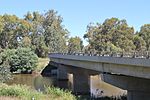
John Conway Bourke Bridge 35°59′37″S 146°37′15″E / 35.99361°S 146.62083°E Howlong 2001 
Lincoln Causeway/Union Bridge 36°6′33″S 146°53′59″E / 36.10917°S 146.89972°E Wodonga to Albury 1961 4 lanes, 92 metres (301.8 ft) long, widened 1990 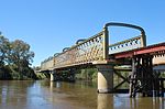
Albury/Wodonga Rail Bridge 36°6′29″S 146°53′59″E / 36.10806°S 146.89972°E 1888 double track - one Broad gauge plus one Standard gauge 
Spirit of Progress Bridge 36°6′33″S 146°53′37″E / 36.10917°S 146.89361°E 2006 New Hume Highway bridge, named for the former Spirit of Progress train.[2] 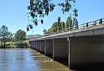
Heywood Bridge 36°05′57″S 147°01′19″E / 36.09917°S 147.02194°E Hume Dam to Bonegilla 1984 124 metres (406.8 ft) long. 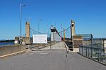
Bonegilla Bridge 36°06′26″S 147°01′56″E / 36.10722°S 147.03222°E Hume Dam to Bonegilla 1941 The Hume Weir wall, now closed to motorised traffic. single lane, 91 metres (298.6 ft) 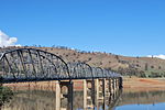
Bethanga Bridge 36°05′25″S 147°03′31″E / 36.09028°S 147.05861°E Bellbridge 1930 on the Riverina Highway across Lake Hume 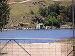
Wymah Ferry 36°02′23″S 147°15′56″E / 36.03972°S 147.26556°E Wymah upstream end of Lake Hume, 2-car capacity, 11 tonne (12.1 t) load limit 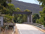
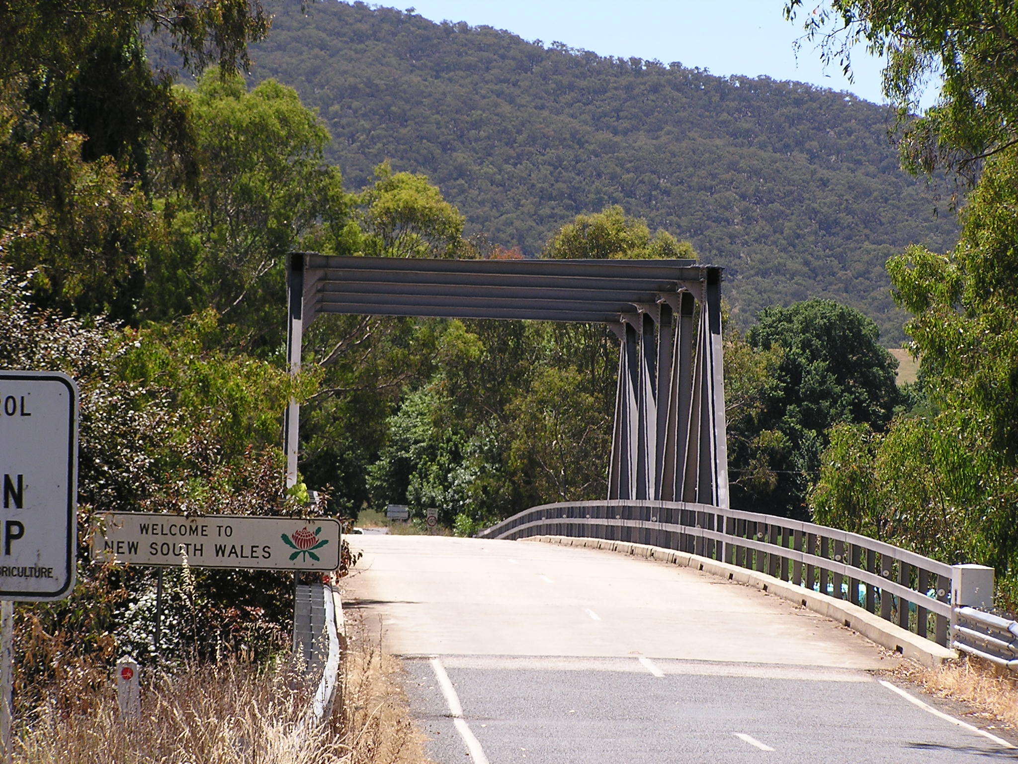
Jingellic Bridge 35°55′53″S 147°42′5″E / 35.93139°S 147.70139°E Jingellic 1959 156 metres (511.8 ft) 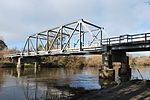
Tintaldra Bridge 36°2′44″S 147°55′56″E / 36.04556°S 147.93222°E Tintaldra 1959 steel truss bridge 185 metres (607 ft) 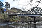
Towong Bridge 36°7′26″S 147°59′46″E / 36.12389°S 147.99611°E Towong 1938 61 metres (200.1 ft) long 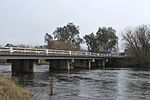
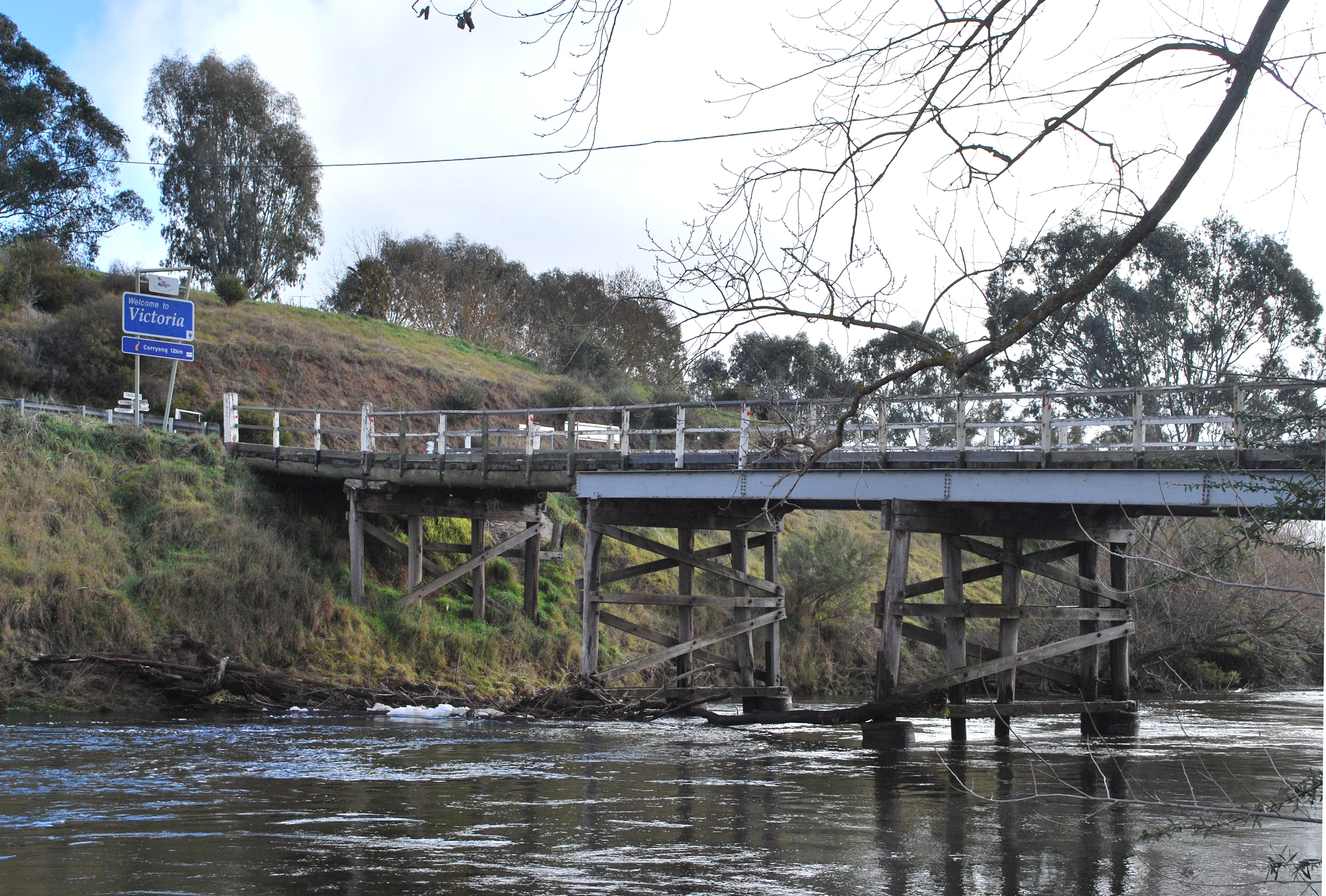
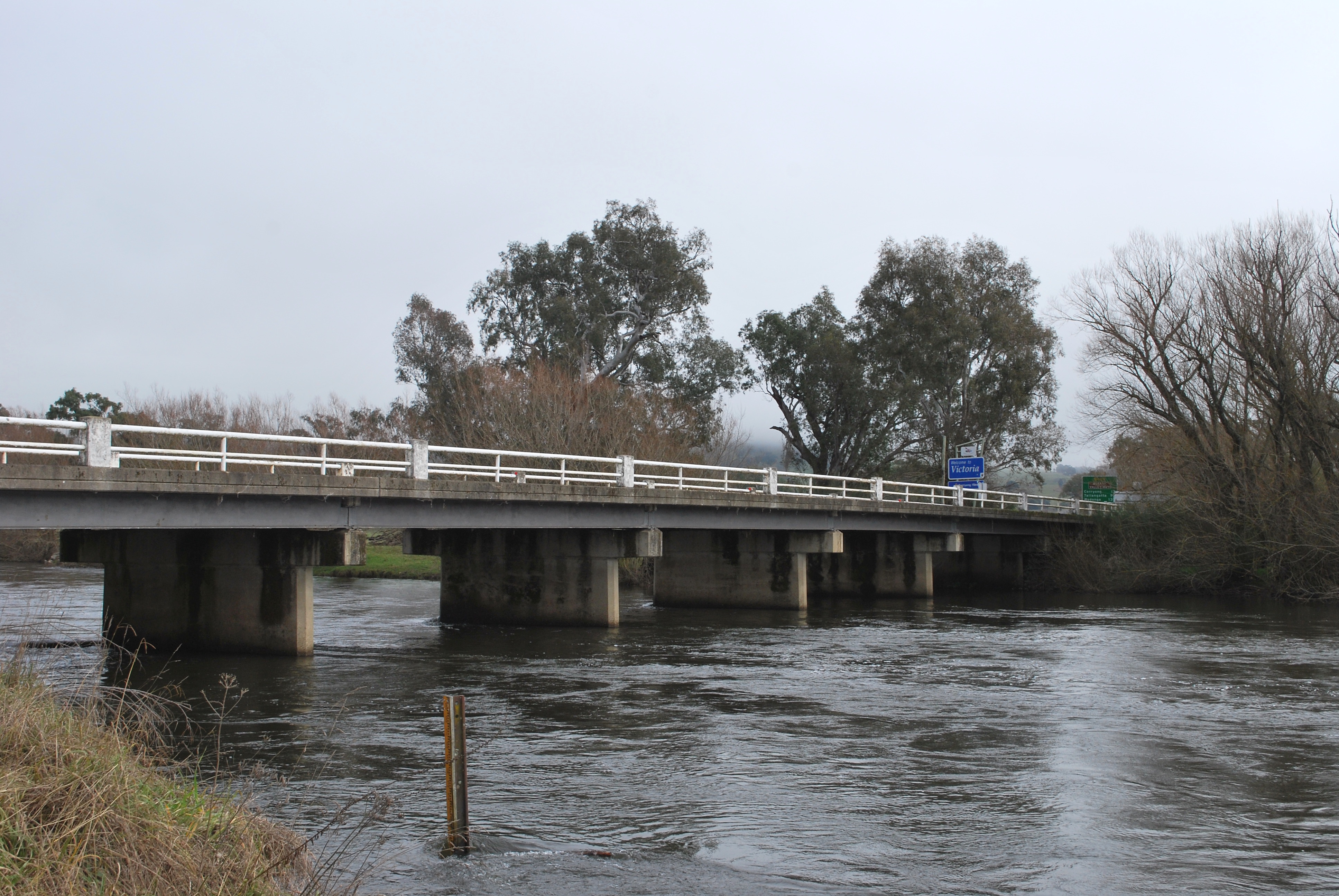
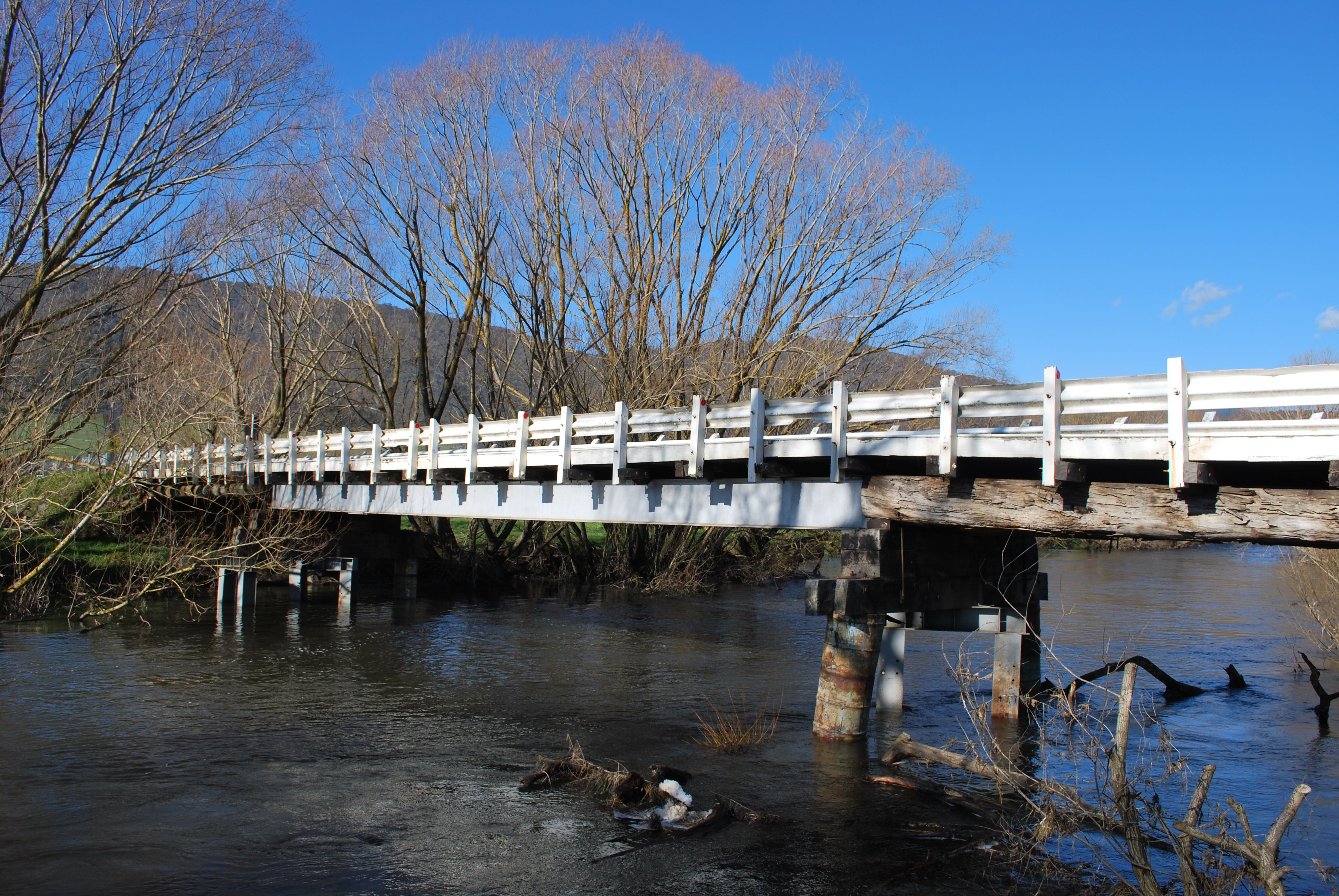
Bringenbrong Bridge 36°10′8″S 148°01′31″E / 36.16889°S 148.02528°E Bringenbrong 1961 87 metres (285.4 ft) long, near Corryong on the Alpine Way 
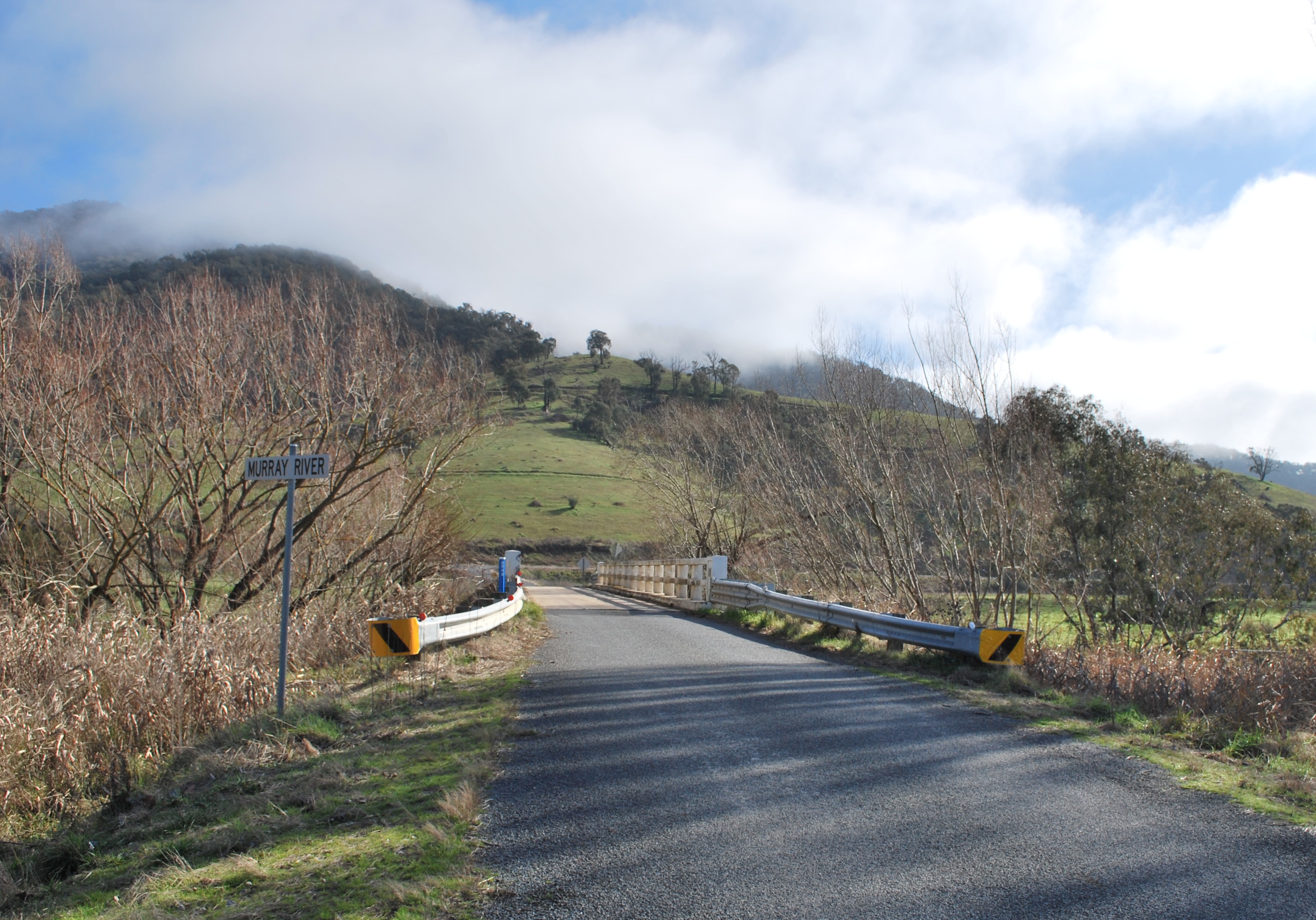
Indi Bridge 36°14′46″S 148°02′5″E / 36.24611°S 148.03472°E 1961 Connects the Indi homestead in NSW to the Upper Murray Road. Steel girder, with concrete piles and a concrete deck. Single lane, 3.7 metres (12 ft) wide.[3] 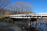
Biggara Bridge 36°17′46″S 148°02′17″E / 36.29611°S 148.03806°E Biggara 1951 References
- ^ "Ferry Locations and Operational Status". Government of South Australia, Department for Transport, Energy and Infrastructure. 12 August 2010. http://www.ezyreg.sa.gov.au/safety/marine/rec_boating/ferry_services_map.asp. Retrieved 16 August 2010.
- ^ "Spirit of Progress bridge sign up today". Border Mail. 24 May 2007. http://www.bordermail.com.au/news/local/news/general/spirit-of-progress-bridge-sign-up-today/377258.aspx. Retrieved 20 July 2010.
- ^ "Indi Bridge over Murray River". Roads and Transport Authority. http://www.rta.nsw.gov.au/cgi-bin/index.cgi?action=heritage.show&id=4301068. Retrieved 14 July 2010.
See also
Categories:- Bridges in Australia
- Transport in New South Wales
- Bridges in Victoria (Australia)
- Crossings by river
- Crossings of the Murray River


Wikimedia Foundation. 2010.