- Morgan, South Australia
-
Morgan
South Australia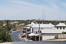

 Morgan
Population: 426[1] Postcode: 5320 Coordinates: 34°02′S 139°40′E / 34.033°S 139.667°ECoordinates: 34°02′S 139°40′E / 34.033°S 139.667°E Location: LGA: Mid Murray Council State District: Stuart Federal Division: Barker Morgan is a town in South Australia on the right bank of the Murray River, just downstream of where it turns from flowing roughly westwards to roughly southwards. It is about 161 kilometres (100 mi) north east of Adelaide, and about 315 kilometres (196 mi) upstream of the Murray Mouth. At the 2006 census, Morgan had a population of 426.[1]
The town was proclaimed in 1878, the year the railway line from Adelaide via Kapunda was opened. A large wharf was built, and Morgan became one of the busiest ports on the Murray. At its peak, Morgan was the second busiest port in South Australia (behind only Port Adelaide), with six trains a day carrying freight from the Murray to the sea at Port Adelaide. As road transport improved through the early part of the 20th century, river transport declined. The railway to Morgan finally closed in 1969.
Morgan is also well known for its number of houseboats, and a houseboat marina is currently under construction.
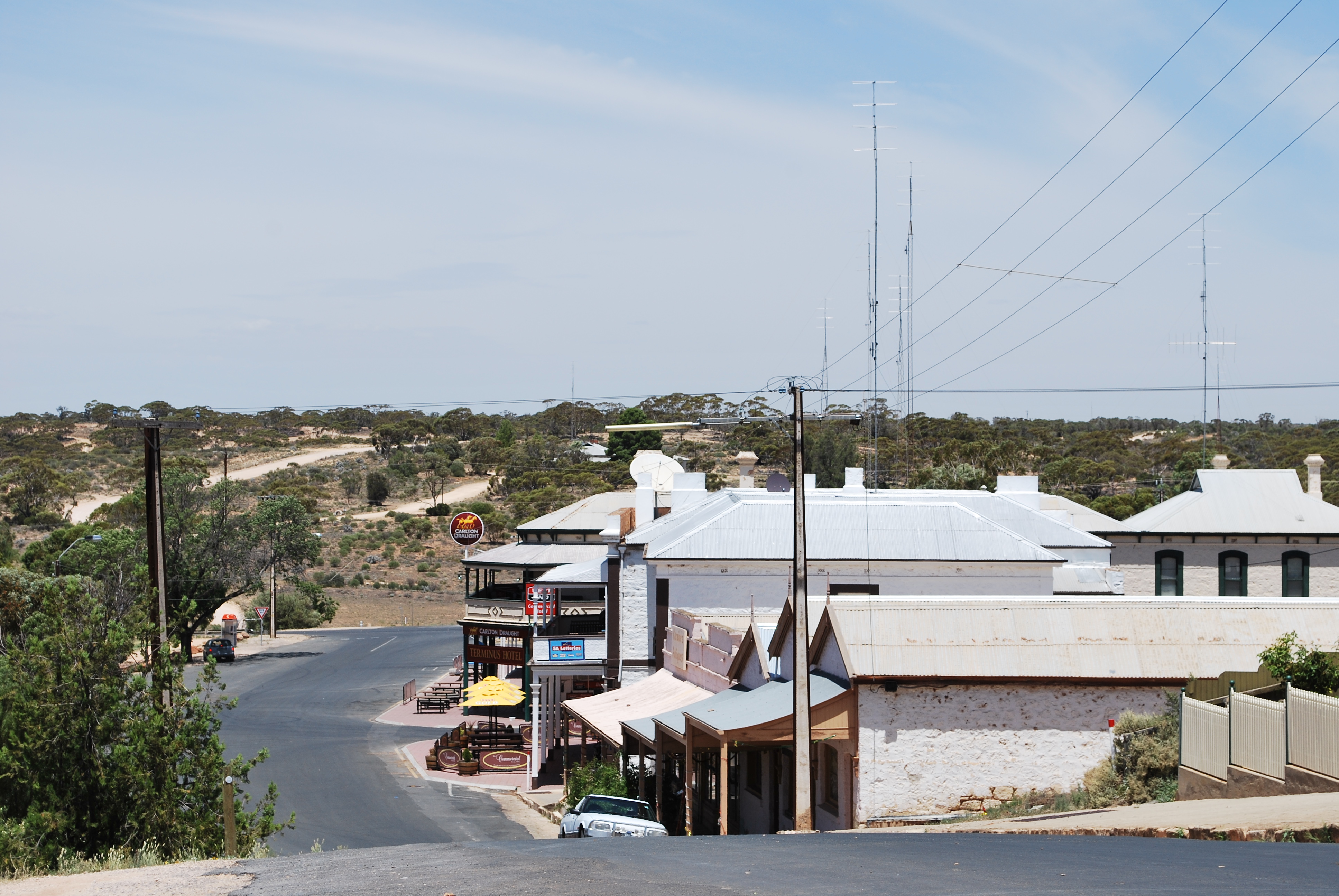
Many of the old buildings remain in the town. A number of the buildings have signs showing their former use and appearance. Morgan is in the Mid Murray Council local government area, the state electoral district of Stuart, and the federal Division of Barker.
During World War II, a water pipeline was built from the Murray River at Morgan to supply fresh water to the city of Whyalla.
References
- ^ a b Australian Bureau of Statistics (25 October 2007). "Morgan (L) (Urban Centre/Locality)". 2006 Census QuickStats. http://www.censusdata.abs.gov.au/ABSNavigation/prenav/LocationSearch?collection=Census&period=2006&areacode=UCL416800&producttype=QuickStats&breadcrumb=PL&action=401. Retrieved 2010-01-16.
See also
External links
Towns of the Riverland Categories:- Towns in South Australia
- Populated places on the Murray River
- Ports and harbours of South Australia
- Riverland
- South Australia geography stubs

Wikimedia Foundation. 2010.