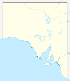
- Narrung, South Australia
-
Narrung
South AustraliaPopulation: 276 Postcode: 5259 Coordinates: 35°30′47″S 139°10′55″E / 35.513°S 139.182°ECoordinates: 35°30′47″S 139°10′55″E / 35.513°S 139.182°E Location: - 145 km (90 mi) SE of Adelaide
- 73 km (45 mi) S of Murray Bridge
- 41 km (25 mi) NW of Meningie
LGA: Coorong District Council State District: MacKillop Federal Division: Barker Narrung is a settlement in South Australia.[1] It is situated at the northern extent of the Narrung Peninsula, which separates The Coorong from Lake Albert adjacent to The Narrows which separates Lake Albert from the larger Lake Alexandrina.
At the 2006 census, Narrung and the surrounding area had a population of 276.[2]
References
- ^ "2905.0 - Statistical Geography: Volume 2 -- Census Geographic Areas, Australia, 2006". Australian Bureau of Statistics. http://www.abs.gov.au/AUSSTATS/abs@.nsf/Latestproducts/2905.0Appendix82006?opendocument&tabname=Notes&prodno=2905.0&issue=2006&num=&view=. Retrieved 08 December 2009.
- ^ Australian Bureau of Statistics (25 October 2007). "Narrung (State Suburb)". 2006 Census QuickStats. http://www.censusdata.abs.gov.au/ABSNavigation/prenav/LocationSearch?collection=Census&period=2006&areacode=SSC44396&producttype=QuickStats&breadcrumb=PL&action=401. Retrieved 2009-12-17.
Categories:- Towns in South Australia
- South Australia geography stubs
Wikimedia Foundation. 2010.

