- Coonalpyn, South Australia
-
Coonalpyn
South Australia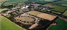
Aerial view of Coonalpyn
 Coonalpyn
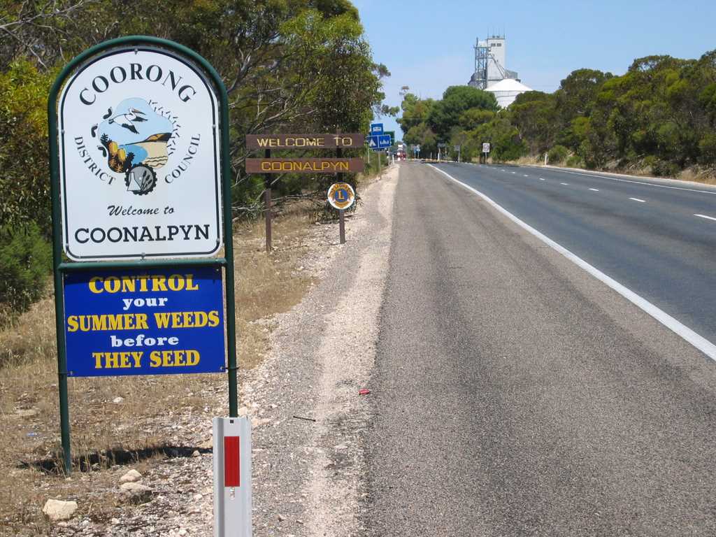
Population: 231 (2006)[1] Established: 1909 Postcode: 5265 LGA: The Coorong District Council State District: MacKillop Federal Division: Barker Coonalpyn is a small town in South Australia 163 km (101 mi) southeast of Adelaide on the Dukes Highway (A8). Coonalpyn belongs to the The Coorong District Council and is in the State electorate of MacKillop and the Federal electorate of Barker.
Contents
Origin of the name
 District Council of Coonalpyn Downs logo
This town's name is derived from the Aboriginal word Coonalpyn, meaning Barren Woman. Coonalpyn Downs was chosen by John Barton Hack to name the property and the railway station within this property.
History
Coonalpyn was originally known as part of the Ninety Mile Desert, until in approximately 1949 when the land was developed by the AMP Society. In 1995, the District Council of Coonalpyn Downs amalgamated with the Peake District Council and Meningie District Council to form The Coorong District Council.
In 1927, the Congregational Church in Coonalpyn erected its church building, and is now the Coonalpyn Uniting Church.
Electricity came to Coonalpyn through ETSA in 1962 and a water pipeline was constructed between Tailem Bend and Keith in 1968.
Lutheran History of the Area
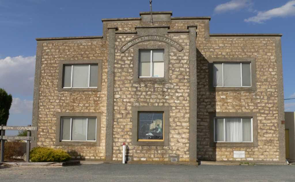
A group of Lutheran Settlers moved to the Coonalpyn District in the early 1920s, the first congregation, Bethlehem Lutheran Congregation, being formed on the 9th of March, 1930. A second congregation, Immanuel Lutheran Congregation, was formed on the 28 July, 1940. In 1952, the two congregations conjointly decided to erect a church and move out of the old town instutite. The church was finished and dedicated in 1953. When Lutheran Amalgamation occurred in 1966, the UELCA & ELCA congregations merged to form the Redeemer Lutheran Congregation, and a new parish was formed which included Tintinara and Meningie.[2]
Sporting Teams
In 1992, the Border-Downs Magpies and Tintinara Blues amalgamated to form the Border-Downs Tintinara Crows Football Club. The club was then a member of the River Murray Football League, and in 2001 joined the Mallee Football League. This also includes the Crows Netball Club.
Coonalpyn also has a tennis club which belongs to the Border-Downs Tennis Association including towns such as Malinong, Culburra, Yumali, Coomandook, Tintinara & Ki Ki
There is also an active lawn bowls club which has a series of "community bowls" nights during the summer months to encourage the community to come and try lawn bowls.
Surrounding communities
North: Ki Ki, Yumali
& CoomandookWest: Meningie, Narrung & Salt Creek Coonalpyn East: Peake, Geranium, Parrakie
& LamerooSouth: Culburra, Tintinara & Keith Photo gallery
-

Entrance to Coonalpyn, Adelaide end
-

Town Hall/Institute
-
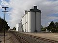
ABB Silos
-
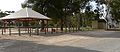
Parking Bay rest area
-
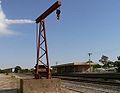
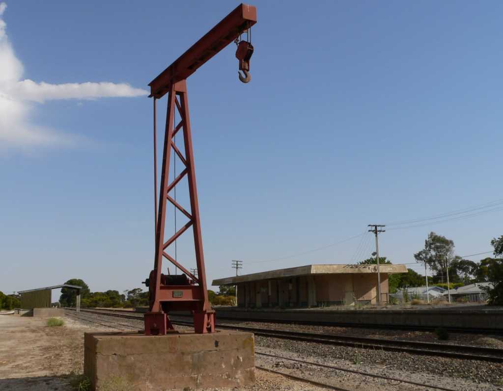
Old Coonalpyn train station
-

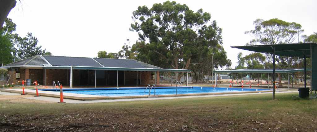
Community swimming pool
-

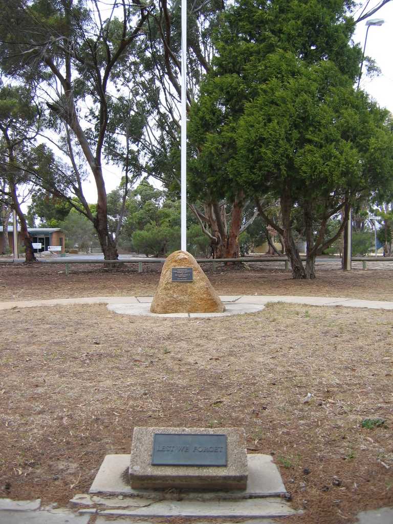
War Memorial
-

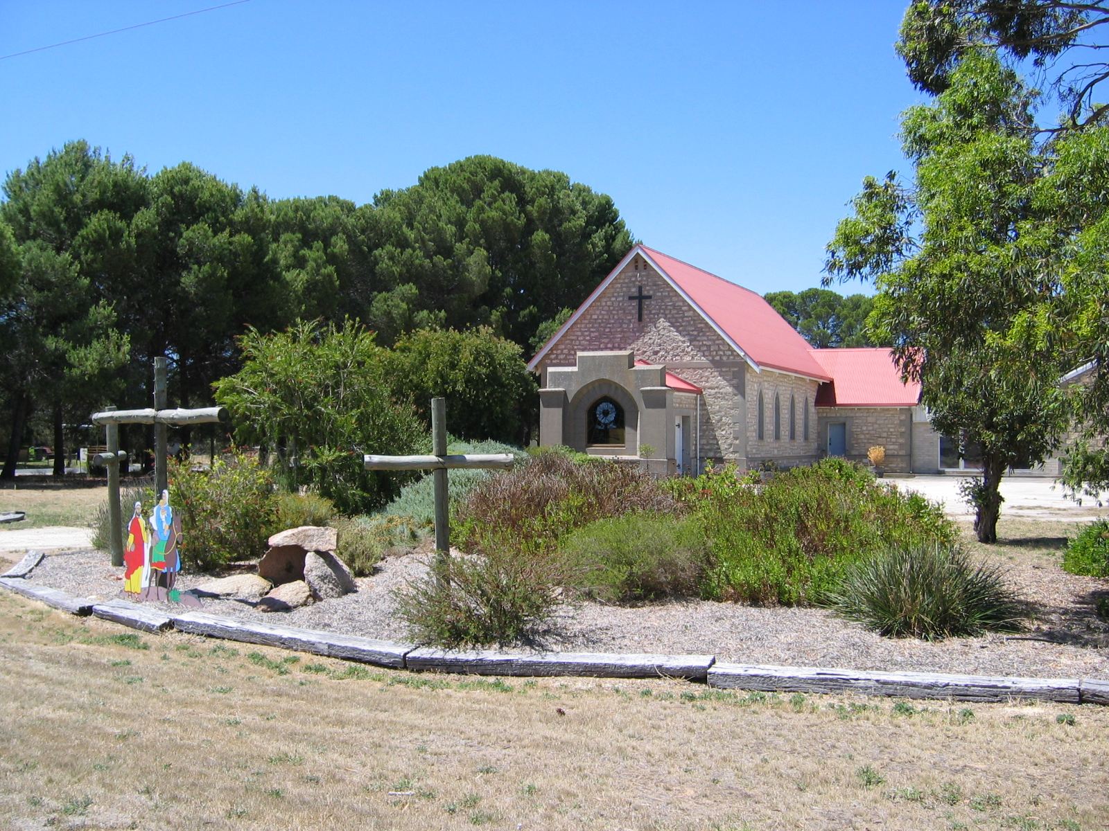
Redeemer Lutheran Church
-
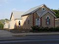
Uniting Church
-

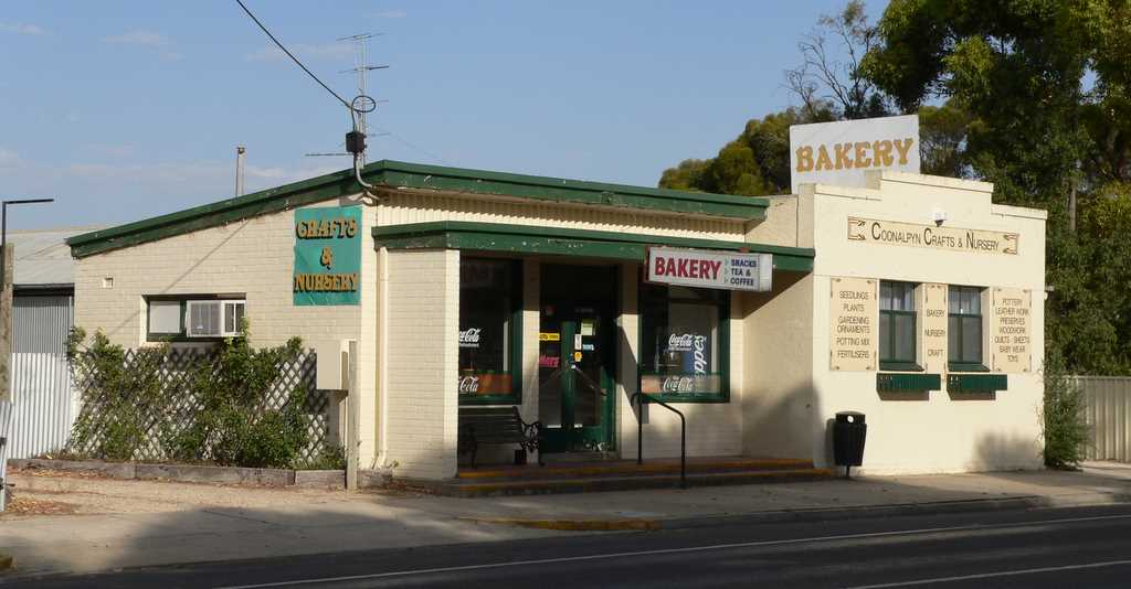
Meningie Bakery
-
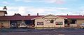
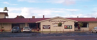
Coonalpyn Hotel
See also
References
- ^ Australian Bureau of Statistics (25 October 2007). "Coonalpyn (Urban Centre/Locality)". 2006 Census QuickStats. http://www.censusdata.abs.gov.au/ABSNavigation/prenav/LocationSearch?collection=Census&period=2006&areacode=UCL405400&producttype=QuickStats&breadcrumb=PL&action=401. Retrieved 2008-02-28.
- ^ "Lutheran History of Coonalpyn". Coonalpyn Lutheran Parish. unknown. http://coonalpyn.info/lutheranhistory.html. Retrieved 2007-03-04.[dead link]
External links
Categories:- Towns in South Australia
- Australian Aboriginal placenames
-


Wikimedia Foundation. 2010.