- Interstate 275 (Ohio–Indiana–Kentucky)
-
Interstate 275
Donald H. Rolf Circle Freeway (Ohio)
Ronald Reagan Highway (Kentucky)
Route information Length: 83.71 mi[1] (134.72 km) Existed: 1962 – present Major junctions Beltway around Cincinnati, Ohio 
 I-71 / I-75 in Erlanger, KY
 US 50
US 50

 I-74 / US 52
I-75
I-71
 I-471
I-471Location States: Kentucky, Indiana, Ohio Counties: KY: Kenton, Boone, Campbell
IN: Dearborn
OH: Hamilton, ClermontHighway system Auxiliary route of the Interstate Highway System
Main • Auxiliary • BusinessInterstate 275 (I-275) is an 83.71-mile (134.72 km)[1] loop in Ohio, Indiana, and Kentucky that forms a complete beltway around the Cincinnati, Ohio area. It is the only auxiliary interstate that enters three states, including one state that the parent route does not enter (Indiana). It is the longest loop interstate highway in the United States. For a short distance in northwest Hamilton County it overlaps with I-74 and US 52.
I-275 is signed as the "Cincinnati By-Pass" and officially known as the Donald H. Rolf Circle Freeway in Ohio, after a state senator,[2] but locals rarely use these names, instead simply referring to it as "two-seventy-five." In 2011, Kentucky named their segment the Ronald Reagan Highway.[3]
Contents
Route description
I-71/I-75 to Indiana
I-275 heads west toward Indiana passing by the Cincinnati/Northern Kentucky International Airport, with Kentucky Route 212 (KY 212) used as the service road to and from the airport. Then near Hebron, west of the airport, I-275 has an interchange with Kentucky Route 237 (KY 237), before passing over the Ohio River into Indiana.
Indiana
In Indiana I-275 passes through rural area with only one interchange and it is at U.S. Route 50 (US 50)/State Road 1 (SR 1). I-275 heads northeast towards Ohio, at the Ohio state line I-275 passes over US 50.
Ohio
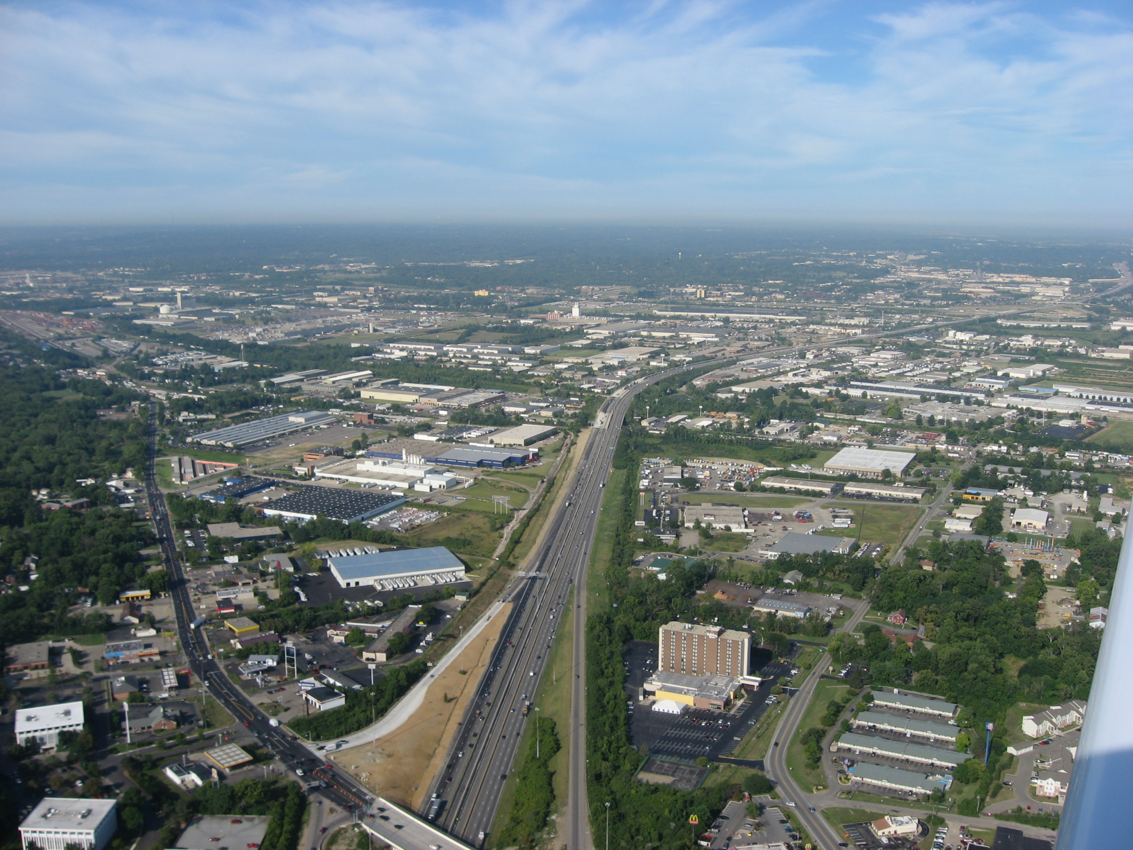
 Along Interstate 275 on its northeast side
I-275 heads northeast towards Springdale. I-275 has a short concurrency with Interstate 74 (I-74). When the concurrency ends, I-275 has an intersection with Ohio State Route 126 (Ronald Reagan Cross County Highway). Then I-275 has an interchanges with U.S. Route 27 (US 27) and U.S. Route 127 (US 127). I-275 turns east having an interchange with State Route 4, State Route 747, Interstate 75, and U.S. Route 42. I-275 turns southeast having an interchange with Interstate 71 and U.S. Route 22. I-275 passes through over the Little Miami River and I-275 turns due south toward Milford. I-275 then has interchanges with State Route 450, State Route 32, and State Road 125. I-275 turns due west towards Kentucky, passing through a short concurrency with U.S. Route 52 (US 52), before crossing over the Ohio River into Kentucky.
Ohio to I-71/I-75
From Ohio I-275 heads southwest towards Highland Heights. I-275 has an interchange with Interstate 471 (I-471) near Highland Heights. I-275 turns due west towards Crestview Hills, passing through an interchange with Kentucky Route 9 (KY 9), Kentucky Route 16 (KY 16), and Kentucky Route 17 (KY 17). In Crestview Hills I-275 has an interchange with U.S. Route 25/U.S. Route 42/U.S. Route 127. I-275 turns northeast towards Interstate 71/Interstate 75.
I-74/I-275 bridge accident
On May 20, 2008, a tractor-trailer hauling a locomotive separated while traveling on the ramp from westbound I-74 to southbound I-275. After the trailer detached, it crashed into supports for the bridge on I-74 eastbound going over the ramps between I-275 and I-74 westbound. As a result, the Ohio Department of Transportation shut down eastbound I-74 for several weeks.[4] Both ramps between I-74 west and I-275 were closed as well, because of fears the bridge would collapse, but two crossovers were built so that traffic could use one lane of westbound I-74 to travel east around the damaged bridge.[5]
Exit list
State County Location Mile[6][7][8] Exit[9] Destinations Notes Kentucky Kenton Erlanger 0.000 1 I-71 / I-75 – Louisville, Lexington, CincinnatiSigned as exit 84 westbound Boone 2.027 2 Mineola Pike – Erlanger, Villa Hills 3.969 4 
 KY 212 to KY 20 – Cincinnati-Northern Kentucky International Airport
Signed as exits 4A (east) and 4B (west) westbound Hebron 7.028 8  KY 237 (North Bend Road) – Hebron
Signed as exits 8A (north) and 8B (south) westbound Idlewild 11.427 11  KY 8 south – Petersburg
Northern terminus of the western segment of KY 8; I-275 west becomes north inner; I-275 south to east outer Ohio River 13.858 Kentucky–Indiana state line Indiana Dearborn Lawrenceburg 15.13 16  US 50 / SR 1 – Lawrenceburg, Greendale, Aurora
Access to Hollywood Casino Lawrenceburg, Grand Victoria Casino, Belterra Casino and fireworks 17.02 Indiana–Ohio state line Ohio Hamilton 20.99 21 Kilby Road 24.24 25 I-74 west / US 52 west – IndianapolisSouth end of I-74 / US 52 overlap Miamitown 7  SR 128 (Hamilton–Cleves Road) – Hamilton, Cleves
I-275 north becomes east inner; I-275 west becomes south outer 27.82 28 I-74 east / US 52 east – CincinnatiEast end of I-74 / US 52 overlap Groesbeck 30.47–
30.9131 Ronald Reagan Cross County Highway east / Blue Rock Road Northbrook 33.04 33 
 US 27 / SR 126 (Colerain Avenue)
Access to Northgate Mall Pleasant Run 35.84 36  US 127 (Hamilton Avenue) – Forest Park, Fairfield
Forest Park 38.25 39 Winton Road – Fairfield, Greenhills Access to Cincinnati Mall Springdale 40.40 41  SR 4 (Dixie Highway), Fairfield, Hamilton
41.40 42  SR 747 (Princeton Pike) – Springdale, Glendale
Signed as exits 42A (south) and 42B (north) westbound; access to Tri-County Mall Sharonville 42.74 43 I-75 (Millcreek Expressway) – Dayton, CincinnatiSigned as exits 43A (north) and 43B (south) eastbound, and as exits 43A (south) and 43B (north) westbound; left exit eastbound (43A); left exit westbound (43A) 43.47 44 Mosteller Road – Sharonville 45.36 46  US 42 (Lebanon Road) – Sharonville, West Chester, Mason
46.81 47 Reed Hartman Highway – Sharonville, Blue Ash Montgomery 48.24 49 I-71 – Columbus, CincinnatiSigned as exits 49A (south) and 49B (north) westbound 49.22 50 
 US 22 / SR 3 (Montgomery Road) – Montgomery, Morrow
51.86 52 Loveland–Madeira Road – Loveland, Indian Hill, Madeira Clermont Sundale 54.30 54 Wards Corner Road I-275 east becomes south inner; I-275 north becomes west outer Mulberry 57.31 57  SR 28 – Milford, Blanchester
Milford 59.20 59  SR 450 (Milford Parkway) to US 50 – Milford, Hillsboro
Signed as exits 59A (west) and 59B (east) Mount Carmel 63.42 63  SR 32 – Newtown, Batavia
Signed as exits 63A (west) and 63B (east); access to Eastgate Mall Withamsville 65.91 65  SR 125 (Ohio Pike) – Amelia
I-275 south becomes west inner; I-275 east becomes north outer Hamilton Anderson Township 68.83 69 Five Mile Road Cincinnati 70.95 71 US 52 east (Kellogg Avenue) – New RichmondEast end of US 52 overlap 72.64 72 US 52 west (Kellogg Avenue) – CincinnatiWest end of US 52 overlap; access to River Downs Ohio River 73.061 Ohio–Kentucky state line Kentucky Campbell Highland Heights 74.857 74  I-471 north / KY 471 south – Cincinnati, Alexandria, Highland Heights
Southern terminus of I-471; northern terminus of KY-471; signed as exits 74A (north) and 74B (south) 75.454 76 Three Mile Road – Wilder, Alexandria Access to Northern Kentucky University; eastbound exit and westbound entrance Wilder 77.097 77 
 KY 9 / AA Hwy – Alexandria
Kenton Taylor Mill 78.779 79  KY 16 (Taylor Mill Road) – Covington, Taylor Mill
Fort Wright 79.970 80  KY 17 (Madison Pike) – Covington, Independence
Lakeside Park 82.030 82  KY 1303 (Turkeyfoot Road) – Lakeside Park, Crestview Hills,
Access to Thomas More College; leads to Edgewood 82.503 83  US 25 / US 42 / US 127 (Dixie Highway) – Erlanger, Florence
Erlanger 83.780 84 I-71 / I-75 – Louisville, Lexington, CincinnatiSigned as exit 1 eastbound 1.000 mi = 1.609 km; 1.000 km = 0.621 mi
Concurrency terminus • Closed/Former • Incomplete access • UnopenedReferences
- ^ a b "Route Log: Auxiliary Routes of the Eisenhower National System of Interstate and Defense Highways, Table 2". Federal Highway Administration. October 31, 2002 . http://www.fhwa.dot.gov/reports/routefinder/table2.htm. Retrieved April 30, 2011.
- ^ Welzel, Karin A. (c. 1984). The Columbus Dispatch (Columbus, Ohio: Dispatch Printing Company). http://www.roadfan.com/dispname.html. Retrieved April 12, 2009.
- ^ Wartman, Scott (September 29, 2011). "N.Ky. gets Ronald Reagan Highway". Gannett. http://news.cincinnati.com/article/20110928/NEWS0103/110928020/N-Ky-gets-Ronald-Reagan-Highway?odyssey=nav%7Chead. Retrieved October 3, 2011.
- ^ "60–90 Days to Fix Whitewater Township Bridge". WKRC-TV. May 21, 2008. http://www.local12.com/news/local/story.aspx?content_id=1a76c630-46ef-4f90-b1d5-5e754c6ed7ce. Retrieved May 23,2008.
- ^ Relyea, Neil (May 22, 2008). "Work Crews Open One Lane From W I-74 To S I-275". WCPO-TV. http://www.wcpo.com/news/local/story.aspx?content_id=d443faf2-2622-4ed8-8fba-0a8e9fb1806a . Retrieved May 23, 2008.
- ^ Staff. "Official DMI Route Log". Kentucky Transportation Cabinet. http://apps.transportation.ky.gov/DMI_Reports/Official_MP_RL_params.aspx. Retrieved September 3, 2011.
- ^ "INDOT Roadway Referencing System" (PDF). Indiana Department of Transportation. http://www.in.gov/indot/files/StateWide_2004.pdf. Retrieved September 3, 2011.
- ^ Staff (January 1, 2009). "Straight Line Diagrams". Technical Services. Ohio Department of Transportation. http://www.odotonline.org/techservapps/sld/. Retrieved September 3, 2011.
- ^ Staff (2007). "Interstate 275" (PDF). Ohio Interstate Exit Guide. Ohio Department of Transportation. http://www.dot.state.oh.us/Divisions/Communications/TIC/OhioInterstateExitGuide/2007OIEG/275-2007.pdf. Retrieved January 18, 2011.
External links
Auxiliary routes of Interstate 75 
Browse numbered routes ←  KY 274
KY KY 276  →Categories:
- Interstate 75
- Interstate Highways in Indiana
- Interstate Highways in Kentucky
- Interstate Highways in Ohio
- Three-digit Interstate Highways
- Transportation in Cincinnati, Ohio
- Transportation in Warren County, Ohio
- Orbital roads in the United States
- Transportation in Hamilton County, Ohio
- Transportation in Clermont County, Ohio


Wikimedia Foundation. 2010.