Interstate 475 (Georgia)

Interstate 475 (Georgia)

Infobox road
state=GA
type=I
route=475
alternate_name=Larry Justice Highway
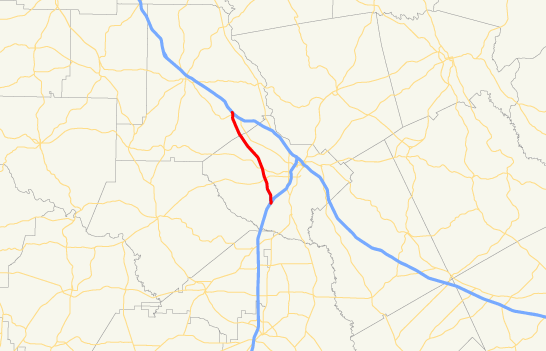


maint=Georgia DOT
length_mi=15.83
length_round=2
length_ref= [ [http://www.fhwa.dot.gov/reports/routefinder/table2.htm Route Log - Auxiliary Routes of the Eisenhower National System Of Interstate and Defense Highways - Table 2] ]
established=
direction_a=South
terminus_a=Jct|state=GA|I|75 near Macon
junction=
direction_b=North
terminus_b=Jct|state=GA|I|75 near Macon
previous_type=GA
previous_route=407
browse_route=
next_type=GA
next_route=409

Interstate 475 (I-475) is an interstate highway in Georgia, splitting off of Interstate 75 and bypassing Macon, Georgia. I-475 is also known as the unsigned State Route 408. I-475 measures 15.83 miles (25.48 km) in length. This is the preferred route for through traffic, as I-75 enters downtown Macon and reduces to four lanes (two in either direction), and has a 55 mph (90 km/h) speed limit. Also, I-475 carries six lanes (three in each direction) throughout its entire route (expanding to four lanes at both junctions with I-75).

The Bibb County Commission named the highway in honor of former Commission Chairman Larry Justice, who retired in 2000.

Exit list

Exits are numbered from south to north, in accordance with AASHTO guidelines.

References

External links

* [http://www.kurumi.com/roads/3di/i475.html#475ga Kurumi - Georgia I-475]


Wikimedia Foundation. 2010.

Игры ⚽ Поможем решить контрольную работу

Look at other dictionaries:

  • Interstate 475 — may mean: *Interstate 475 (Georgia), a bypass of Macon, Georgia *Interstate 475 (Michigan), a loop through Flint, Michigan *Interstate 475 (Ohio), a bypass of Toledo, Ohio …   Wikipedia

  • Interstate 475 — In den Vereinigten Staaten gibt es mehrere Interstate Highways mit der Nummer 475. Dabei handelt es sich um Ortsumgehungen und Entlastungsstrecken für den Interstate Highway 75. Dreistellige Nummern bezeichnen Autobahnringe und Zubringer zu… …   Deutsch Wikipedia

  • Interstate 420 (Georgia) — Infobox road state=GA route=420 type=I year decommissioned=later 1970s direction a=West terminus a=Jct|state=GA|I|285 junction= direction b=East terminus b=Jct|state=GA|GA|166 cities=Atlanta,Georgia Interstate 420 (I 420) was a highway planned to …   Wikipedia

  • Interstate 475 (Ohio) — Interstate 475 Route information Maintained by …   Wikipedia

  • Interstate 75 — Basisdaten Länge: 1786 mi/2874 km Bundesstaaten: Florida Georgia Tennessee Kentucky …   Deutsch Wikipedia

  • Interstate 20 in Georgia — Interstate 20 Route information Maintained by Georgia …   Wikipedia

  • Georgia Navigator — (sometimes also as Georgia NaviGAtor) is the intelligent transportation system (ITS) in the U.S. state of Georgia. It is operated by the Georgia Department of Transportation (GDOT), and was first activated in April 1996, just before the 1996… …   Wikipedia

  • Georgia (U.S. state) — State of Georgia redirects here. For TV series, see State of Georgia (TV series). For the sovereign state, see Georgia (country). State of Georgia …   Wikipedia

  • Interstate 75 in Georgia — Infobox road state=GA type=I route=75 maint=Georgia DOT length mi=355.11 length round=2 length ref= [ [http://www.dot.state.ga.us/DOT/plan prog/transportation data/400reports/2003/dpp438 2003.pdf 2003 Georgia Department of Transportation 438… …   Wikipedia

  • Interstate 75 — to the east of downtown Lexington. *Interstate 71 in Walton, Kentucky. They stay connected until Cincinnati, Ohio. *Interstate 275 in Erlanger, Kentucky (loop around Cincinnati), and again in Sharonville, Ohio *Interstate 74 in Cincinnati… …   Wikipedia

Share the article and excerpts

Direct link
Do a right-click on the link above
and select “Copy Link”