- Makhtesh
-
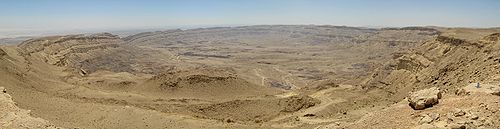
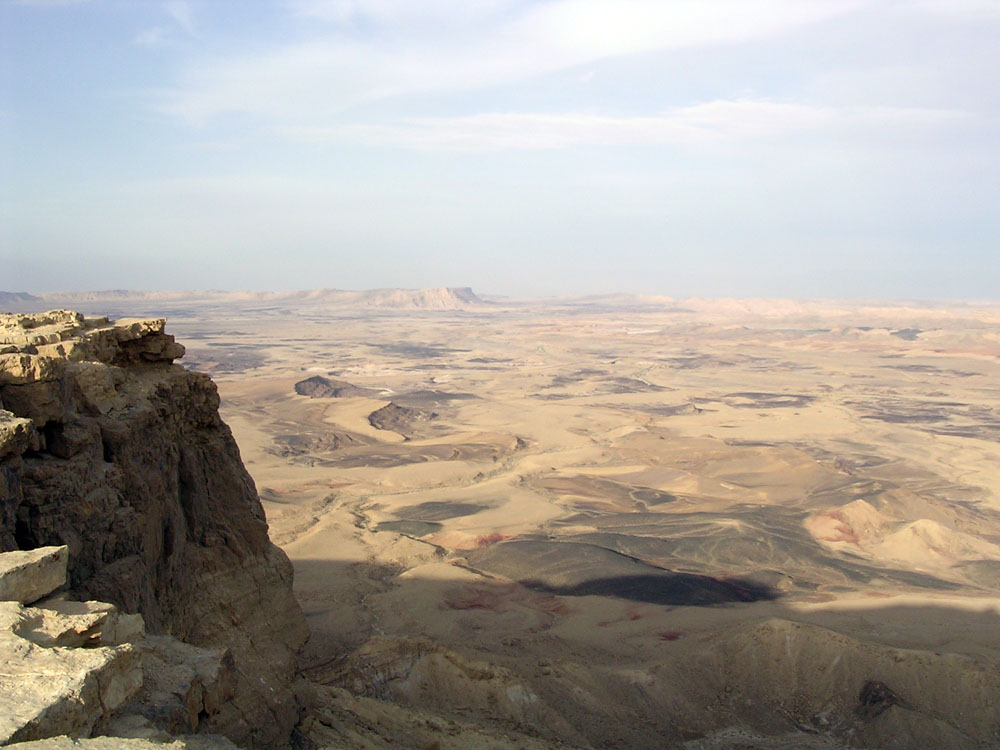
 Makhtesh Ramon, one of Israel's five makhteshim.
A makhtesh (Hebrew: מַכְתֵּשׁ ([maχˈteʃ]), plural: מַכְתְּשִׁים ([ˈmaχtəˌʃim]) – Makhteshim) is a geological landform considered unique to the Negev desert of Israel and the Sinai Peninsula. Although commonly known as "craters" (a literal reading of the Hebrew, and due to the visual similarity), these formations are more accurately described as erosion cirques (steephead valleys or box canyons). A makhtesh has steep walls of resistant rock surrounding a deep closed valley which is usually drained by a single wadi. The valleys have limited vegetation and soil, containing a variety of different colored rocks and a diverse fauna and flora which has been protected and preserved over millions of years. The best known (and largest) makhtesh is Makhtesh Ramon of Israel's Negev desert.
Contents
Formation
A hard outer layer of rock covered softer rocks. Erosion relatively quickly removes the softer minerals, and they are washed away from under the harder rock. The harder rocks eventually collapse under their own weight and a crater-like valley structure is formed. In Negev and Sinai makhteshim, the hard rocks are limestone and dolomites, while the inner softer rocks are chalk or sandstone. [1] In most cases, makhteshim only have one drainage system, although the Makhtesh Ramon has three.
The Hebrew term makhtesh ordinarily means "crater", and was used to describe these features before the geological formation processes were understood. In fact, proper craters are formed by the impact of a meteor or volcanic eruption. Adopting the Hebrew words allows English speakers to distinguish the two kinds of features; an alternative English term for makhtesh can be "erosion cirque." [2]
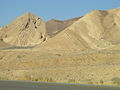
Makhteshim
The presence of Makteshim is said to be unique to the Negev desert of Israel and the Sinai Peninsula of Egypt although similar features do exist in Turkmenistan (Yor-oilan-duz depression in Badkhyz Highlands) and Iran.
Negev
The Negev desert of Southern Israel is home to five Makhteshim; Makhtesh Ramon, Makhtesh Gadol, Makhtesh Katan, and two further tiny makhteshim on Mount Arif, to the south of Makhtesh Ramon.
- Makhtesh Ramon is exceptional as it is drained by two rivers (Nahal Ramon and Nahal Ardon). It is the largest Makhtesh at over 40km long, 2-10km wide and over 500m deep. The rocks in this makhtesh contain thousands of ammonite fossils, as well as volcanic and metamorphic rocks.
- Makhtesh Gadol (The Large Makhtesh) At the time of naming, Makhtesh Ramon was uncharted and so this was thought to be the largest Makhtesh.
- Makhtesh Katan (The Small Makhtesh) is the smallest major makhtesh at 5km by 7km and was charted in 1942 by Jewish explorers.
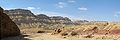
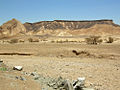
 Makhtesh Katan in the Israeli Negev is small enough to allow a view of its shape
Sinai
The two makhteshim in Sinai have no names for the basin, but their walls have several names including Jabal al-Manzur or Gebel Maghara.
Gallery
-
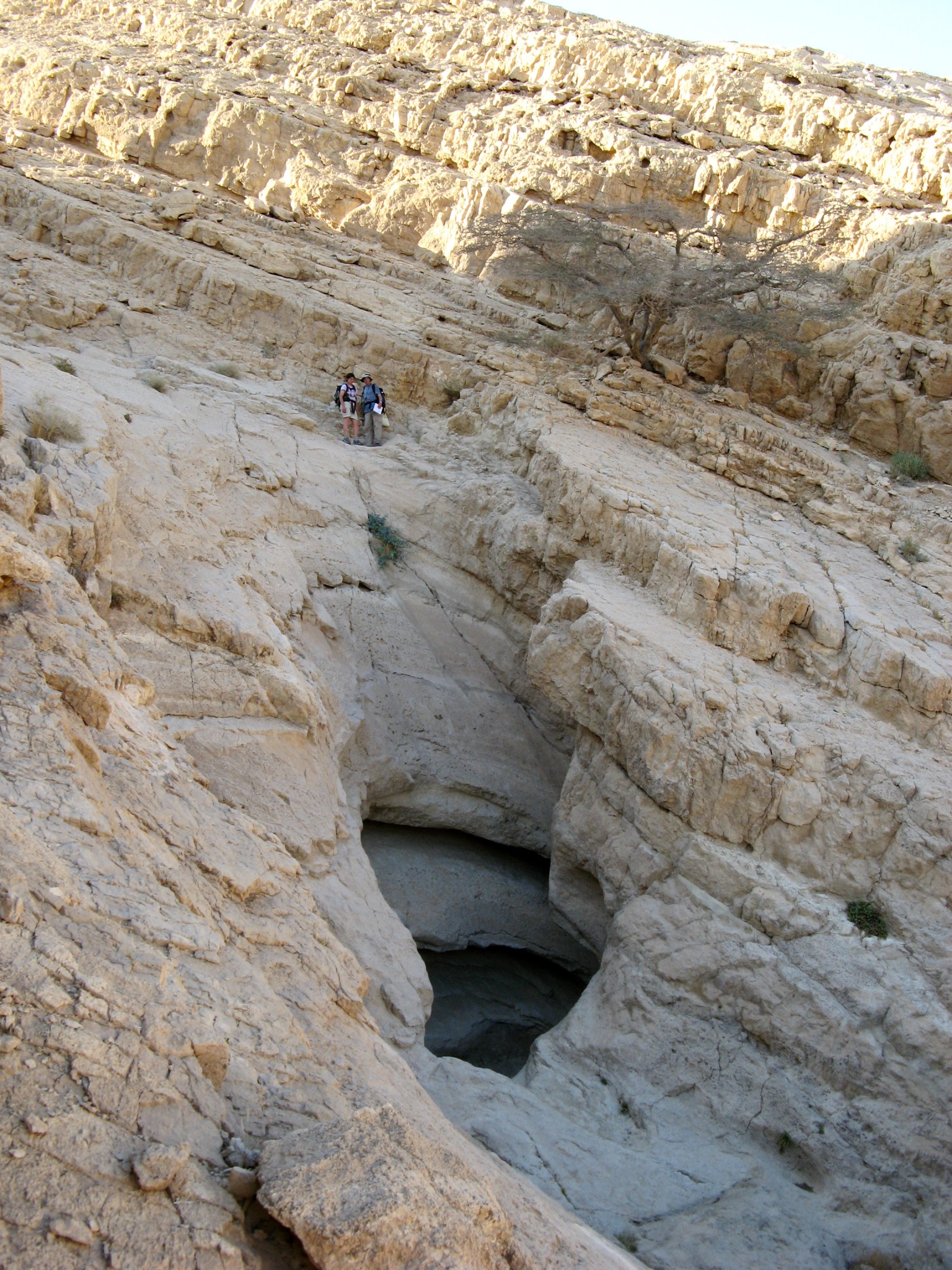
The walls of the Makhtesh (small Makhtesh)
-
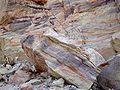
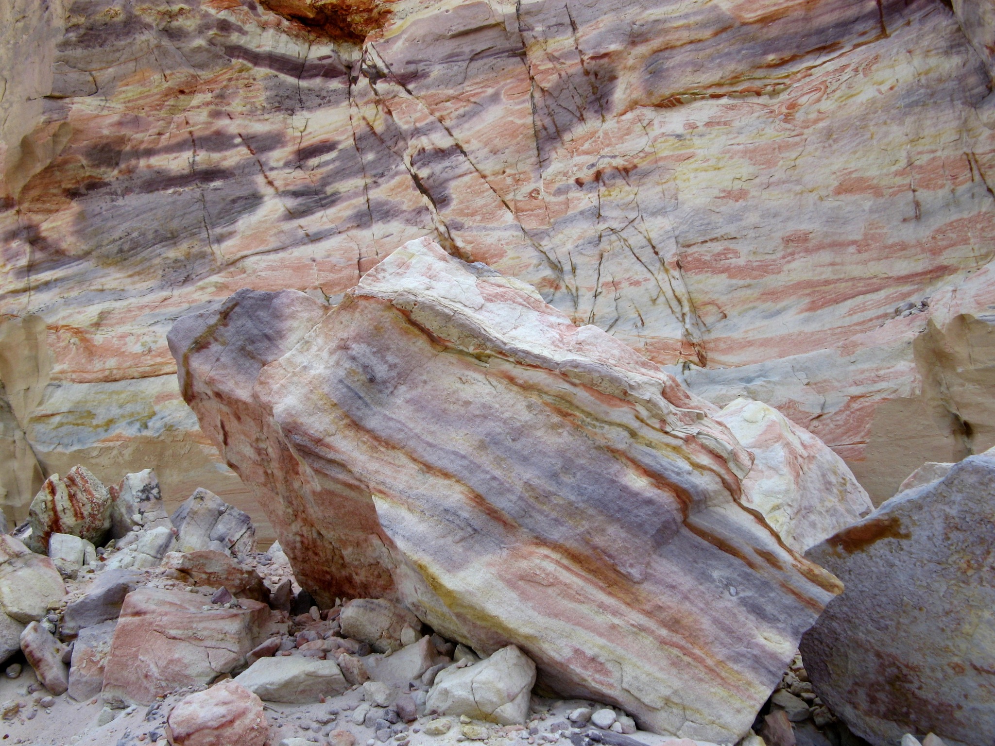
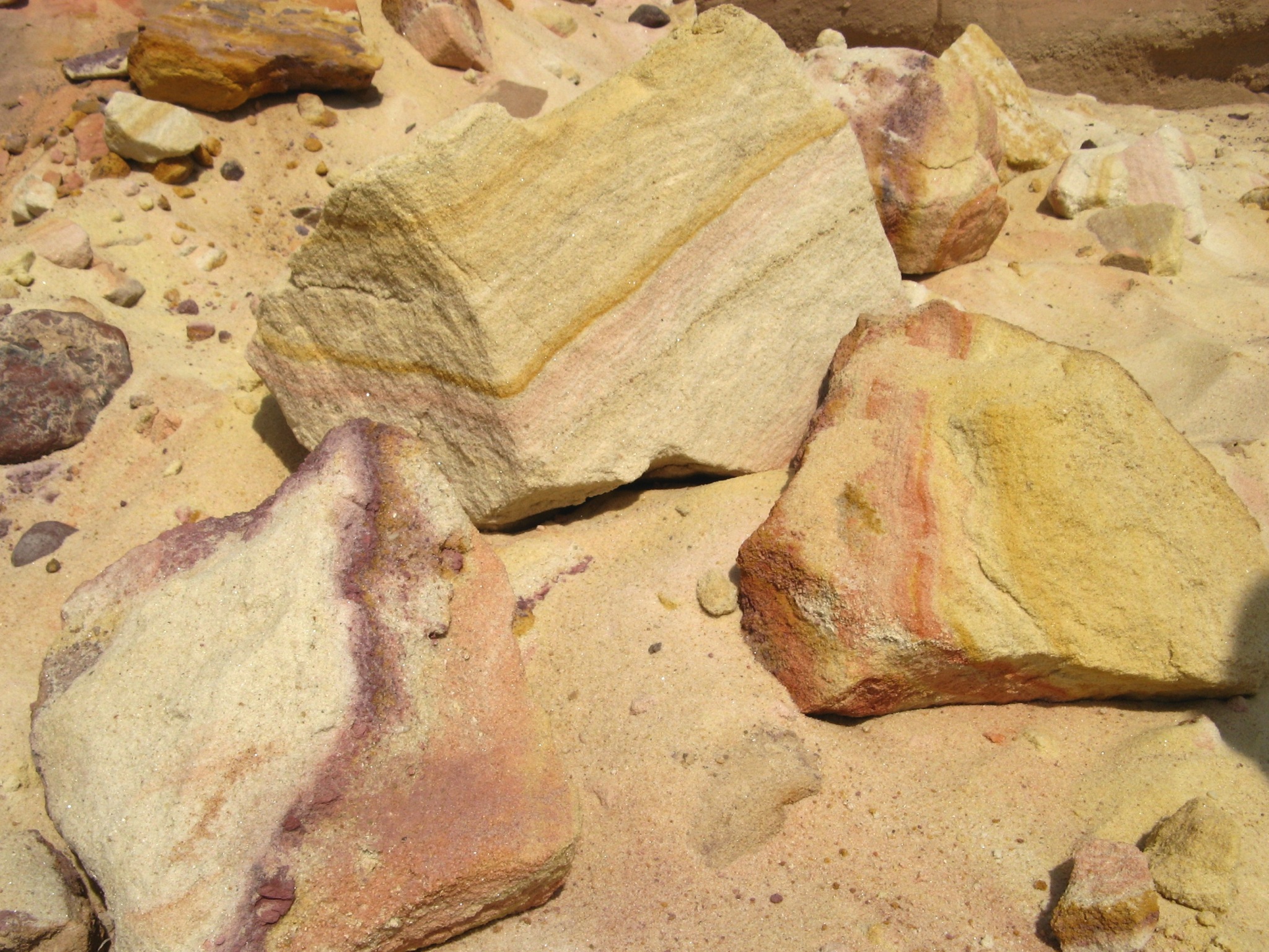
Colorful sandstone in Makhtesh Katan
-

The outer wall of the Makhtesh (small Makhtesh)
-
Makhtesh Katan
-

Colorful sandstone in the small Makhtesh
-

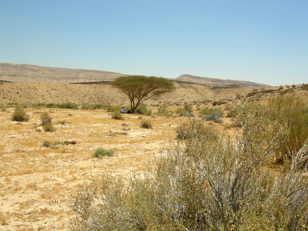
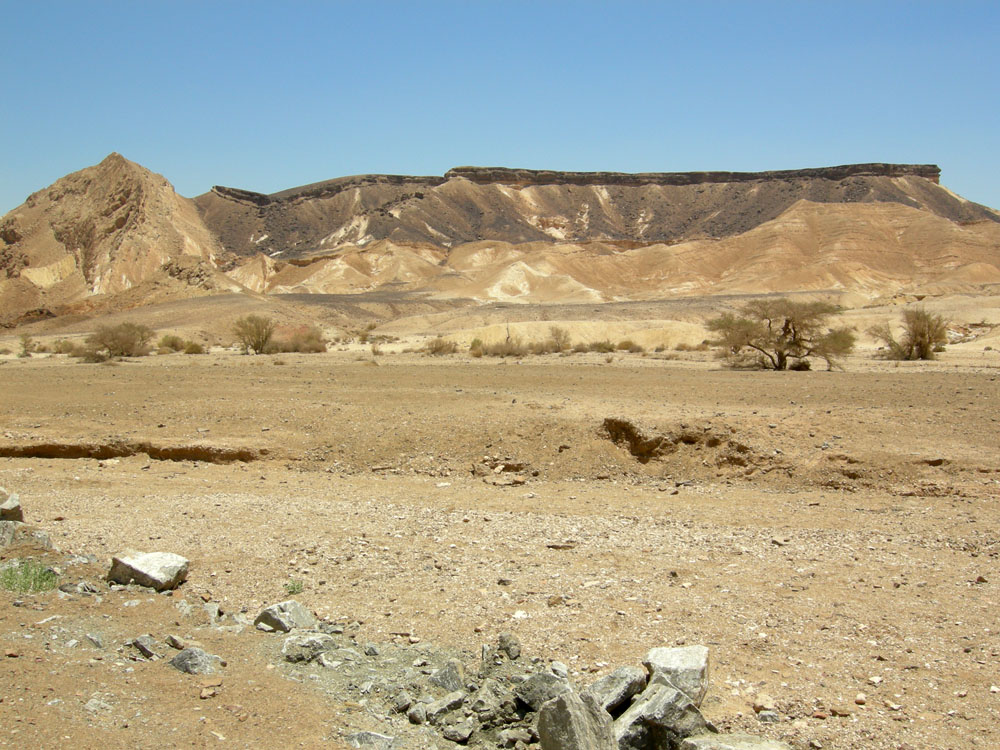
Acacia tree inside Makhtesh Gadol
-

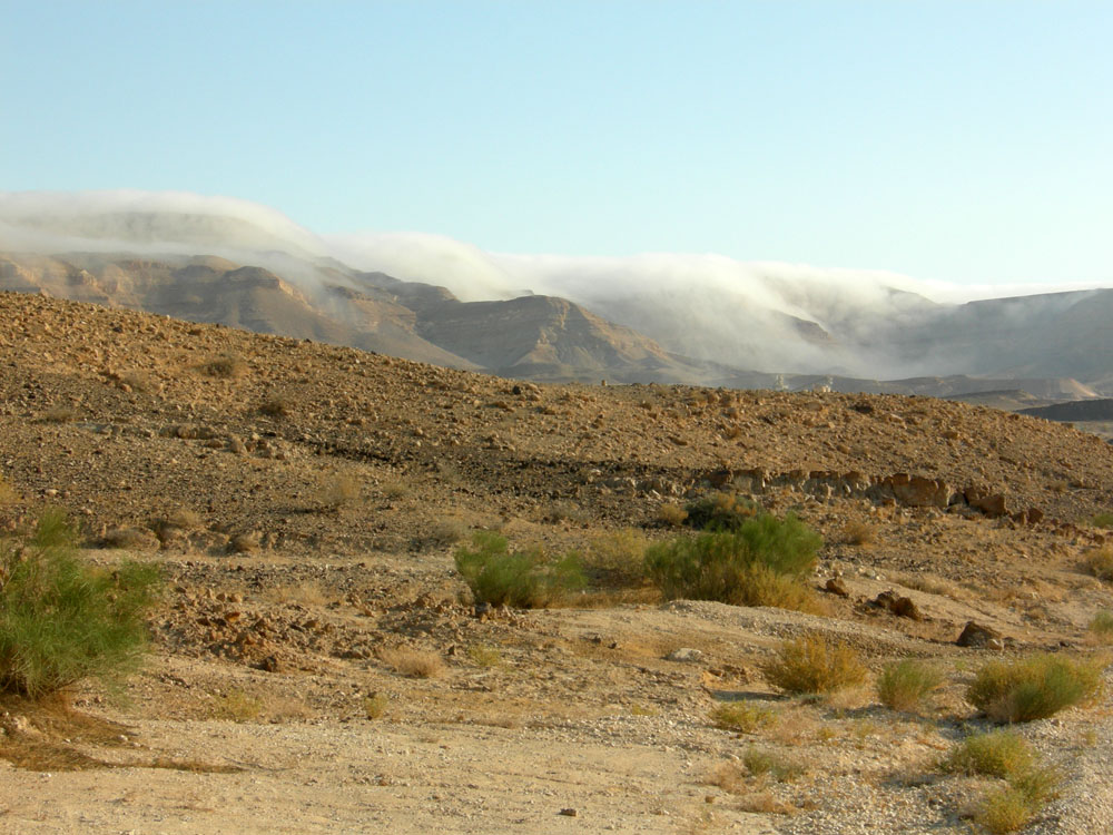
Mist flowing over the northern rim of Makhtesh Gadol
-
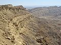
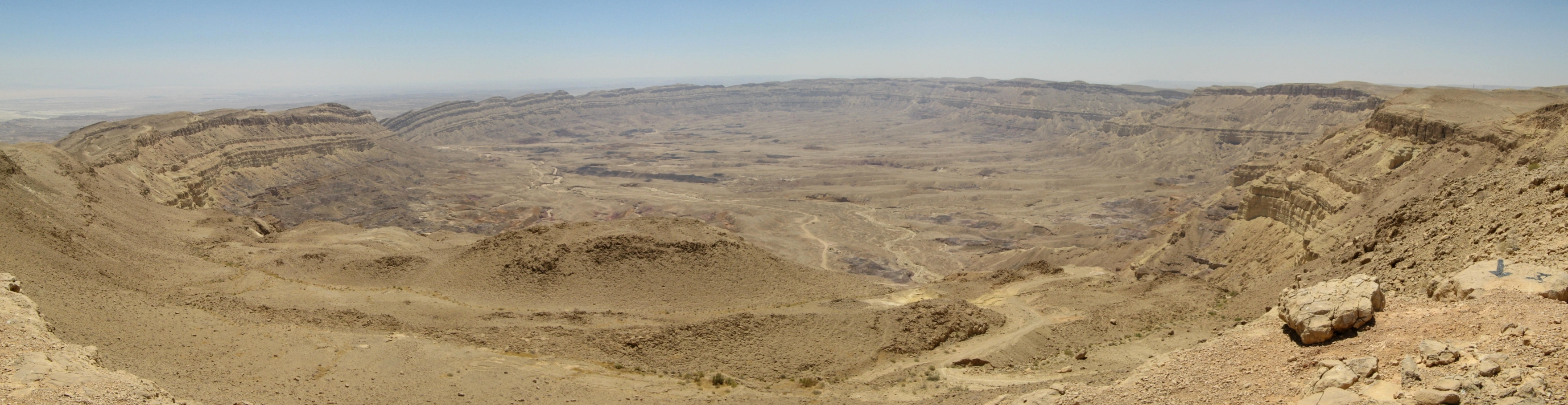
Ramon Monocline on the southern side of Makhtesh Ramon
-
Ramon Fault on the southern side of Makhtesh Ramon
-

Northern rim of Makhtesh Ramon
External links
References
- Mazor, Emanuel and Krasnov, Boris, editors "The Makhteshim Country - a Laboratory of Nature". Pensoft Publishers, Sofia, 2001, 411 pages. ISBN 954-642-135-9
 Nature reserves of Israel
Northern District Ein Afek · Akhziv Islands · Alonei Yitzhak · Alonei Abba · Amud Stream · Nahal Ayun · Balfouria · Bitan Aharon · Nahal Betzet · Nahal Dishon · Dor Beach and Ma'agan Michael Islands · Ein Avazim · Ein Elah · Ein Nymphit · Ein Te'oh · Ein Yehuda · Nahal Gamal · Gamla nature reserve† · Snir Stream · Hermon nature reserve† · Nahal Hermon† · Hula Valley · Hurshat Tal · Hurshat Zakum · Kerem Ben Zimra · Nahal Kziv · Mount Arbel · Mount Carmel · Mount Gilboa · Mount Meron · Mount Tabor · Pa'ar Cave · Rosh HaNikra · Shamir-Nahal Rachum · Shimron · Nahal Taninim · Tel Anafa · Nahal Tavor · Tel Dan · Tel Shikmona · Nahal YehiamCentral District Adullam · Ashdod Nitzanim Sand Dune Park · Bnei Zion · Avshalom Cave · Ein Hemed · HaMasrek Reserve · Neot Kedumim · Nahal Poleg · Nahal Sorek · Tel Yitzhak · Te'omim Cave · UdimSouthern District Eilat Region † Located in the Israeli-occupied territories Categories:- Erosion landforms
- Landforms of Israel
- Levant
- Landforms of the Middle East
- Nature reserves in Israel

Wikimedia Foundation. 2010.