- North Capitol Street
-
North Capitol Street is a street in Washington, D.C. that separates the Northwest and Northeast quadrants of the city. The street begins at D Street due north of the United States Capitol and continues northward 4½ miles to Nicholson Street where it is interrupted by Fort Slocum Park and the Washington Metro Red Line tracks. North Capitol Street continues north of the tracks for a quarter mile where it ends at Eastern Avenue at the border with Maryland.
Along North Capitol Street
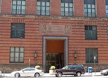 Entrance to Government Printing Office headquarters on North Capitol Street
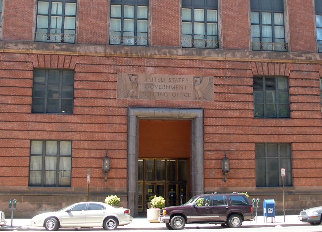
- C-SPAN
- Government Printing Office
- Gonzaga College High School
- McMillan Sand Filtration Site
- VA Medical Center
- United States Soldiers' and Airmen's Home
Streets and highways of Washington, D.C. Streets 7th St. • 14th St. NW/SW • 16th St. NW • 18th St. NW • E. Capitol St. • N. Capitol St. • S. Capitol St. • H St. • Jackson Place • K St. • M St. • Madison Place • U St.Avenues,
Roads & DrivesBenning Rd. • Canal Rd. • Connecticut Ave. • Constitution Ave. • Eastern Ave. • Florida Ave. • Georgia Ave. • Independence Ave. • Klingle Road • Maine Ave. • Martin Luther King, Jr. Ave.• Massachusetts Ave. • New Hampshire Ave. • New York Ave. • Ohio Dr. • Pennsylvania Ave. • Rhode Island Ave. • Southern Ave. • Virginia Ave. • Wisconsin Ave.Circles Anna J. Cooper Circle • Barney Circle • Benjamin Banneker Circle • Columbus Circle • Dupont Circle • Garfield Circle • Grant Circle • Logan Circle • Observatory Circle • Peace Circle • Pinehurst Circle • Randle Circle • Scott Circle • Sheridan Circle • Sherman Circle • Tenley Circle • Thomas Circle • Ward Circle • Washington Circle • Westmoreland CircleHighways Coordinates: 38°54′44″N 77°0′32.5″W / 38.91222°N 77.009028°W
Categories:- Streets in Washington, D.C.
Wikimedia Foundation. 2010.