- Oostflakkee
-
Oostflakkee — Municipality — 
Flag
Coat of arms
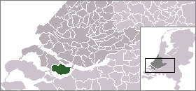
Coordinates: 51°41′N 4°17′E / 51.68°N 4.28°ECoordinates: 51°41′N 4°17′E / 51.68°N 4.28°E Country Netherlands Province South Holland Area - Total 107.44 km2 (41.5 sq mi) - Land 74.69 km2 (28.8 sq mi) - Water 32.75 km2 (12.6 sq mi) Population (1 January, 2007) - Total 10,163 - Density 136/km2 (352.2/sq mi) Source: CBS, Statline. Time zone CET (UTC+1) - Summer (DST) CEST (UTC+2) Website www.oostflakkee.nl  Oostflakkee (population: 10,126 in 2004) is a municipality on the island of Goeree-Overflakkee in the western Netherlands, in the province of South Holland. The municipality covers an area of 107.44 km² (of which 32.75 km² is covered by water).
The municipality of Oostflakkee was formed by the amalgamation of the former municipalities of Den Bommel, Ooltgensplaat, and Oude Tonge in 1966. It consists of the communities Achthuizen, De Langstraat, Den Bommel (with Zuidzijde), Ooltgensplaat, Oude-Tonge, Zuidzijde.
Oude Tonge is the main town of this municipality with a considerable industrial area. It also has a large busstation. Den Bommel is quite similar as Stad aan 't Haringvliet with a harbor and beach on the shores of the Haringvliet. A few kilometers east of Den Bommel there is Zuidzijde, a very small town with a neat looking watertower. Ooltgensplaat is the most eastward town on the island with a harbor on the Volkerak. The town has a very old and beautiful municipal building. This town is the yearly start and finish of De Omloop - a 100+ km walk around the island in a 24 hour period. This event attracts thousands every year either participants or bystanders. It is held yearly in the latter half of August. Achthuizen and Langstraat are other small towns nearby Ooltgensplaat.
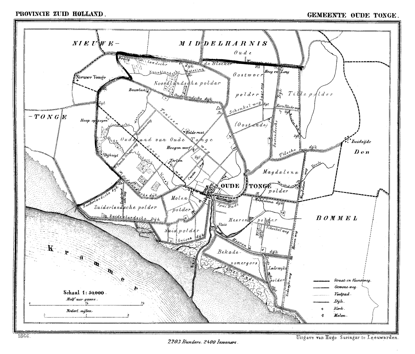
 Oude Tonge in 1866.
External links
Categories:- Populated places in South Holland
- South Holland geography stubs


Wikimedia Foundation. 2010.