- Ooltgensplaat
-
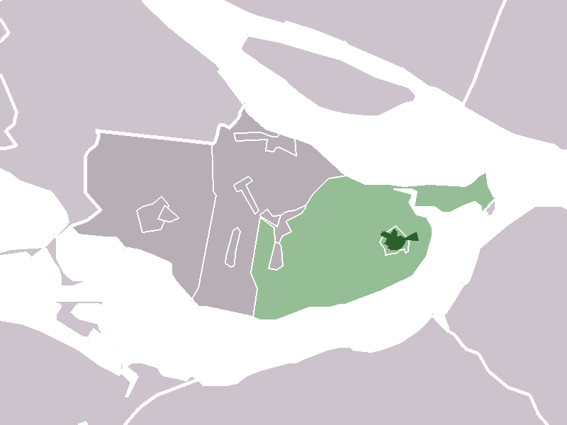
Ooltgensplaat  The village centre (darkgreen) and the statistical district (lightgreen) of Ooltgensplaat in the municipality of Oostflakkee.
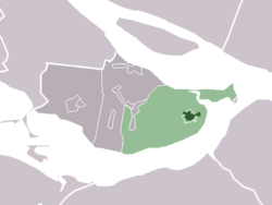
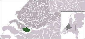
Country Netherlands Province Zuid-Holland Municipality Oostflakkee Population (2006) ca. 2,462 Ooltgensplaat (51°41′N 4°21′E / 51.683°N 4.35°E) is a village in the Dutch province of South Holland. It is a part of the municipality of Oostflakkee, and lies about 17 km south of Spijkenisse.
In 2001, the village of Ooltgensplaat had 2128 inhabitants. The built-up area of the village was 0.48 km², and contained 893 residences.[1] The larger statistical area "Ooltgensplaat", which includes the surrounding countryside has a population of around 2480.[2]
Ooltgensplaat was a separate municipality until 1966, when it became part of Oostflakkee.[3]
References
- ^ Statistics Netherlands (CBS), Bevolkingskernen in Nederland 2001 [1]. Statistics are for the continuous built-up area.
- ^ Statistics Netherlands (CBS), Gemeente Op Maat 2004: Oostflakkee [2].
- ^ Ad van der Meer and Onno Boonstra, Repertorium van Nederlandse gemeenten, KNAW, 2006.
External links
- J. Kuyper, Gemeente Atlas van Nederland, 1865-1870, "Ooltgensplaat". Map of the former municipality, around 1868.
Categories:- Populated places in South Holland
- Former municipalities of South Holland
- South Holland geography stubs
Wikimedia Foundation. 2010.