- Dalmeny, Saskatchewan
-
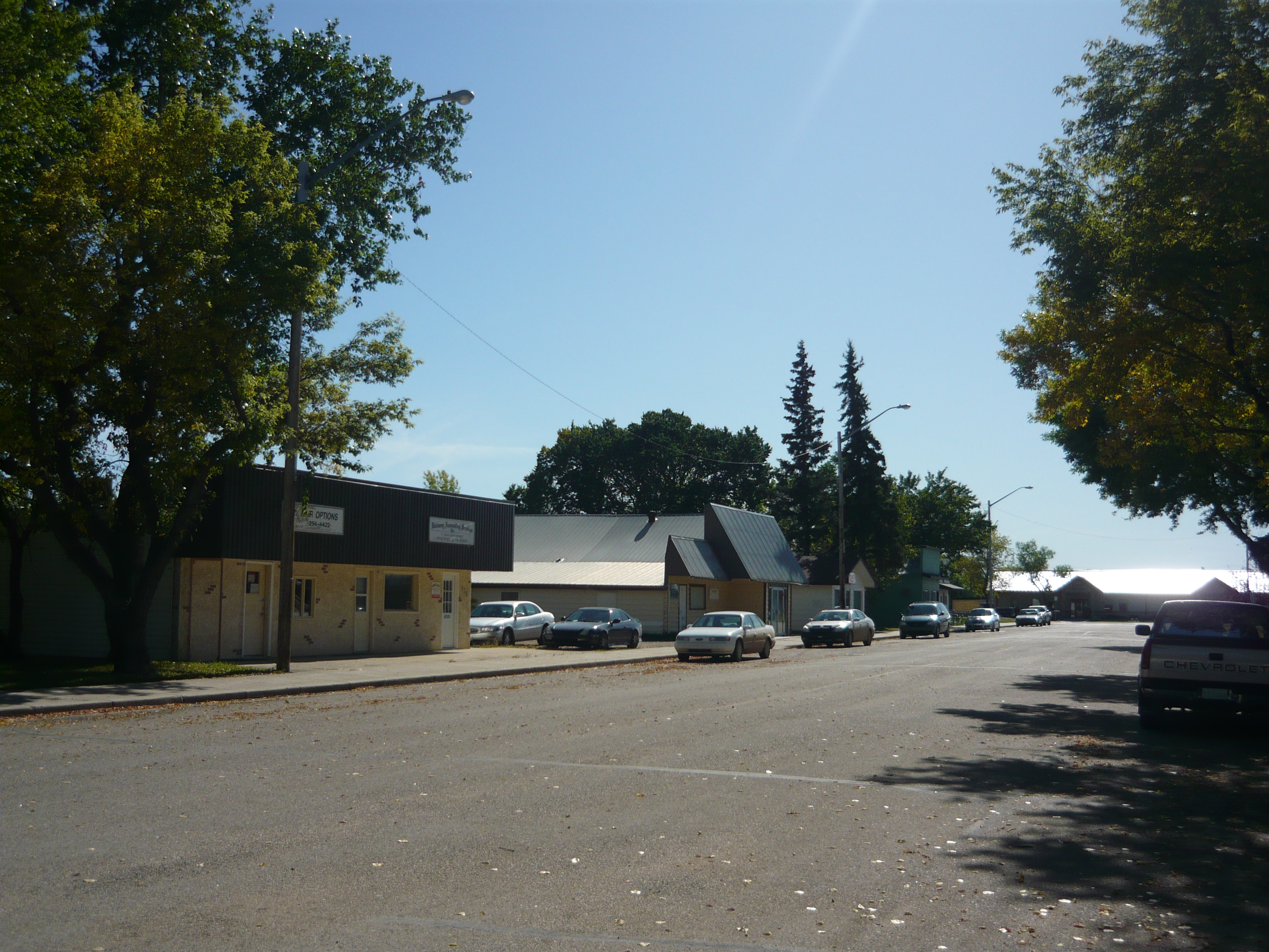
Town of Dalmeny — Town — Business District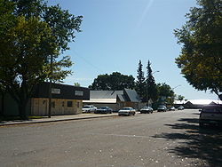
Third Street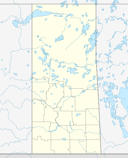
 Town of Dalmeny
Coordinates: 52°20′28″N 106°46′24″W / 52.34111°N 106.77333°W Country Canada Province Saskatchewan Area – Land 2.27 km2 (0.9 sq mi) Population (2006) – Total 1,560 – Density 688.3/km2 (1,782.7/sq mi) Time zone UTC (UTC-6) Dalmeny is a town in the central part of Saskatchewan, Canada, named after Dalmeny, Scotland. The town is located in the rural municipality of Corman Park. The Dominion Land Survey description of Dalmeny's location is Section 10 Tsp 39 Rge 6 W3.
Contents
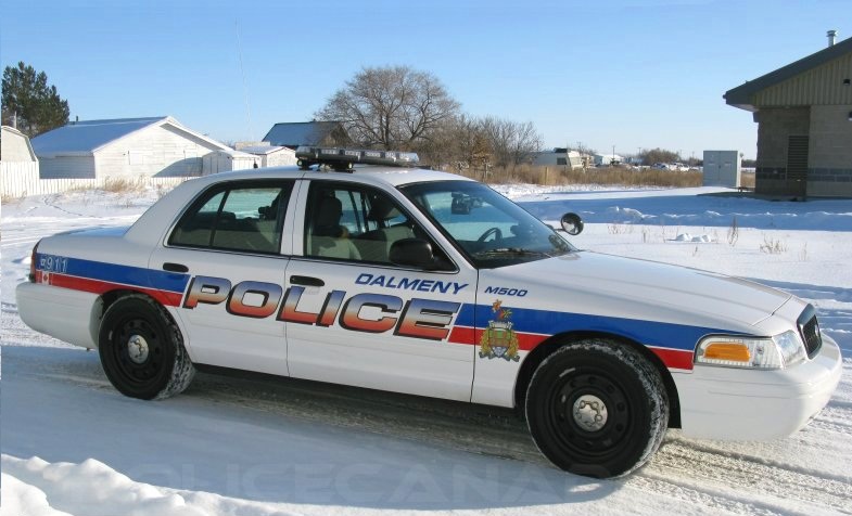
Police
 Dalmeny Police Service
The town of Dalmeny operates a small police force which consists of three officers and one auxiliary volunteer. The Dalmeny Police Service works in partnership with the Royal Canadian Mounted Police along with Corman Park Police Service. As well, the Saskatoon Police Service provide additional support if and when needed.
History
The Dalmeny district was first settled around 1900; many of the early settlers were Mennonites. The town site developed in 1904-1905 with the arrival of the Canadian National Railways Carlton branch line and the Winnipeg - Edmonton Main Line. A year later, the post office opened, the first grain elevator was built, and a general store was established.
The village's population growth was slow until the 1970s, when it became known as a bedroom community for people working in Saskatoon. The population grew from 417 to 1064 between 1971 and 1981. In 1983, the village was incorporated as a town.[1]
Demographics
Canada census – Dalmeny, Saskatchewan Community Profile 2006 2001 Population:
Land area:
Population density:
Median age:
Total private dwellings:
Mean household income:1,560 (- 3.1% from 2001)
2.27 km2 (0.88 sq mi)
688.3 /km2 (1,783 /sq mi)
34.4 (males: 34.8, females: 34.1)
515
$64,7951,610 (9.5% from 1996)
2.27 km2 (0.88 sq mi)
710.6 /km2 (1,840 /sq mi)
32.5 (males: 32.1, females: 33.1)
487
$52,760Education
Dalmeny SD#1681, Dalmeny Town SD# 2094, Rose Leaf SD #1681 and Willow Lake SD# 2081 were early one room school houses in this area.[citation needed]
References
- ^ David, McLennan (2006). "Dalmeny". Encyclopedia of Saskatchewan. Great Plains Research Center. http://esask.uregina.ca/entry/dalmeny.html. Retrieved 2010-02-28.
- ^ "2006 Community Profiles". Statistics Canada. Government of Canada. 2009-02-24. http://www12.statcan.ca/census-recensement/2006/dp-pd/prof/92-591/index.cfm?Lang=E. Retrieved 2011-03-06.
- ^ "2001 Community Profiles". Statistics Canada. Government of Canada. 2007-02-01. http://www12.statcan.ca/english/profil01/CP01/Index.cfm?Lang=E. Retrieved 2011-03-06.
- ^ "Prairie View School". Prairie Spirit School Division. http://www.spiritsd.ca/pvs/. Retrieved 2010-02-28.
- ^ "Dalmeny High School". Prairie Spirit School Division. http://www.spiritsd.ca/da/. Retrieved 2010-02-28.
External links

Hepburn Langham 
Martensville  Dalmeny

Saskatoon Coordinates: 52°20′28″N 106°46′24″W / 52.341142°N 106.773427°W
Categories:- Towns in Saskatchewan
- Corman Park No. 344, Saskatchewan

Wikimedia Foundation. 2010.