- Davidson, Saskatchewan
-
Town of Davidson — Town — Davidson's Business District
Washington AvenueNickname(s): Community In Motion Location of Davidson in Saskatchewan

Coordinates: 51°10′N 105°35′W / 51.16°N 105.58°W Country Canada Province Saskatchewan Region Saskatchewan Census division No. 11 Rural Municipality No. 252 Founded N/A Village Incorporated March 7, 1904 Town Incorporated November 15, 1906 Government - Mayor Mary Jane Morrison - Governing body Davidson Town Council Area - Land 4.49 km2 (1.7 sq mi) Population (2006) - Total 958 - Density 213.5/km2 (553/sq mi) Time zone CST Postal code S0G 1A0 Area code(s) 306 Highways Highway 11 Waterways *Lake Diefenbaker
*Last Mountain LakeWebsite Town Website  Grain elevators
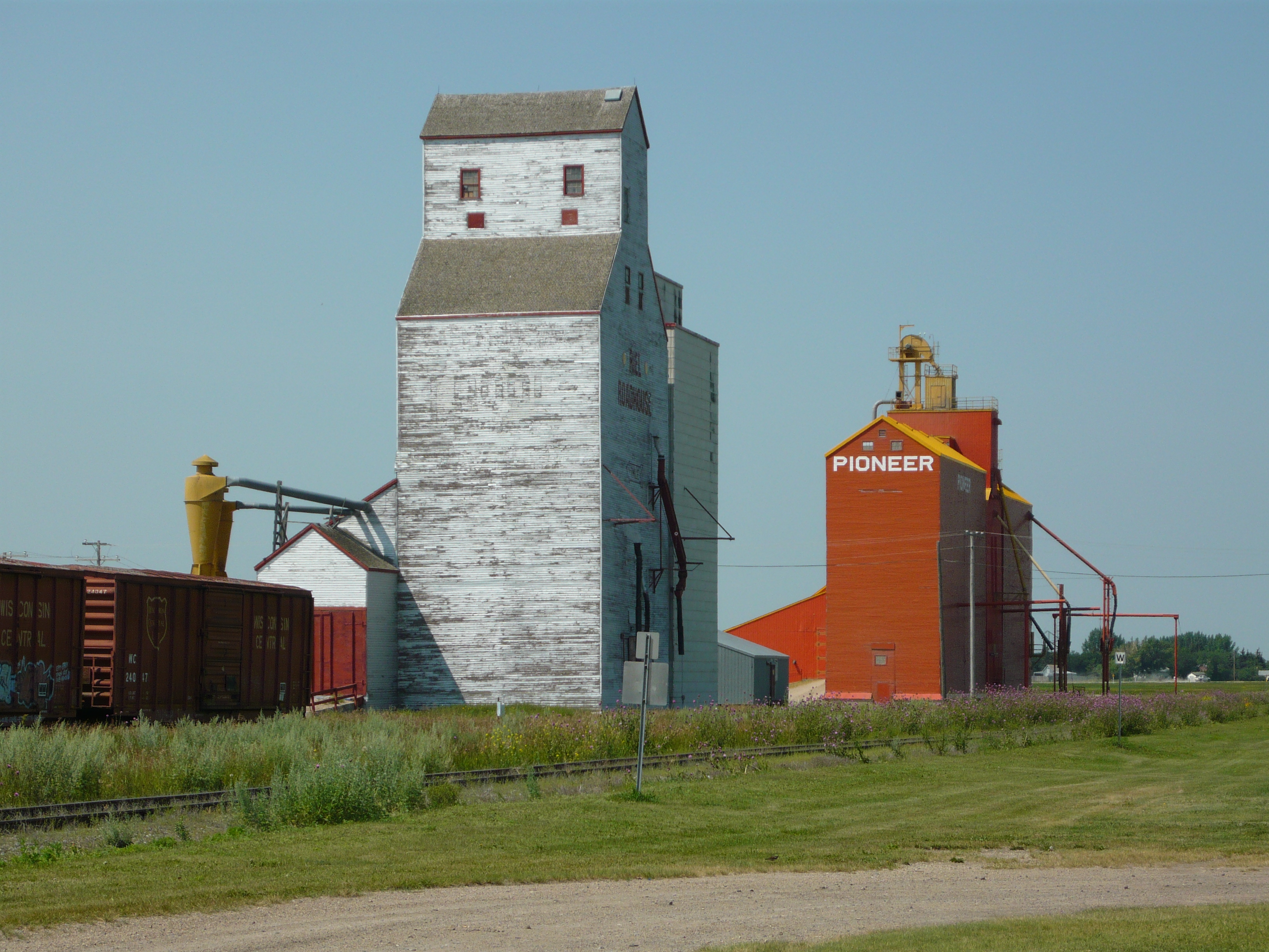
Davidson is a town in south central Saskatchewan, Canada. It is located 104 km southeast of Saskatoon beside provincial highway 11. It is located almost exactly halfway between Saskatoon and Regina and was a popular stopping-off point for travellers before Hwy. 11 was rerouted east of the town.
- For more information see also Rural Municipality of Arm River No. 252, Saskatchewan
Contents
History
More than eighty years ago, Andrew Davidson, an enthusiastic entrepreneur from Glencoe Ontario, came to Saskatchewan in hopes of creating a 'midway' settlement between the cities of Regina and Saskatoon. With agriculture as one of his driving passions, Davidson settled in an area where the soil was particularly suitable for grain farming. With the support and cooperation of other settlers in the area, Davidson organized a train route that traveled from Chicago to Saskatoon; making one stop in Davidson on the way by. This train route brought American bankers, entrepreneurs and newspapermen in hopes of starting up new businesses in the area. With the expansion of the community underway, Davidson also managed to sell more than 180,000 acres (730 km2) of land in the area. Within a short period of time, Davidson, which was declared the name of the community, was nicknamed the 'Midway Town' because of its central location. On November 15, 1906, Davidson was officially declared a town.
Education
Davidson Elementary School and Davidson High School were formerly part of the Davidson School Division, which also included schools in the communities of Kenaston, Craik and Eyebrow. As of January 1, 2006, DES and DHS are part of the Sun West School Division. In a small community, the school is at its core. This allows many opportunities for the community to get actively involved in the school and vice versa. Some of the partnerships between the school and the community include working for "Communities in Bloom," contributing to the recycling program at SARCAN, and planting trees around the newly established walking trail. Davidson School's mission statement is "Developing, Encouraging, Succeeding; Creating the Future"
Media
The community newspaper is the Davidson Leader, publishing since 1904.
Recreation
Davidson has been dubbed as "The Community in Motion;" thus creating numerous opportunities for sports and leisure. Members of the community may join programs or teams in hockey, baseball, fitness, curling, figure skating, dance, gymnastics or riding. Davidson is also home to Davidson Golf and Country Club where players can enjoy 9 holes on a beautiful, well-kept course. A newly renovated swimming pool is also available for lessons or leisure swim located conveniently beside the local campground.
Interesting facts
-Davidson currently has the largest coffee pot and cup in the world. This monument has direct significance to the 'Midway Town" where people often stop for coffee en route to either surrounding city.
On July 5, 2010, Canada Post made a commemorative stamp of the Coffee Pot as part of its Roadside Attractions collection.[1] -Davidson has a Women's Hockey Team called "The Babes on Blades."
-Located at the rest stop in Davidson, a 'Metis Fiddler Iron Sculpture' can be found. It is one of the many along the Louis Riel Trail.Statistics
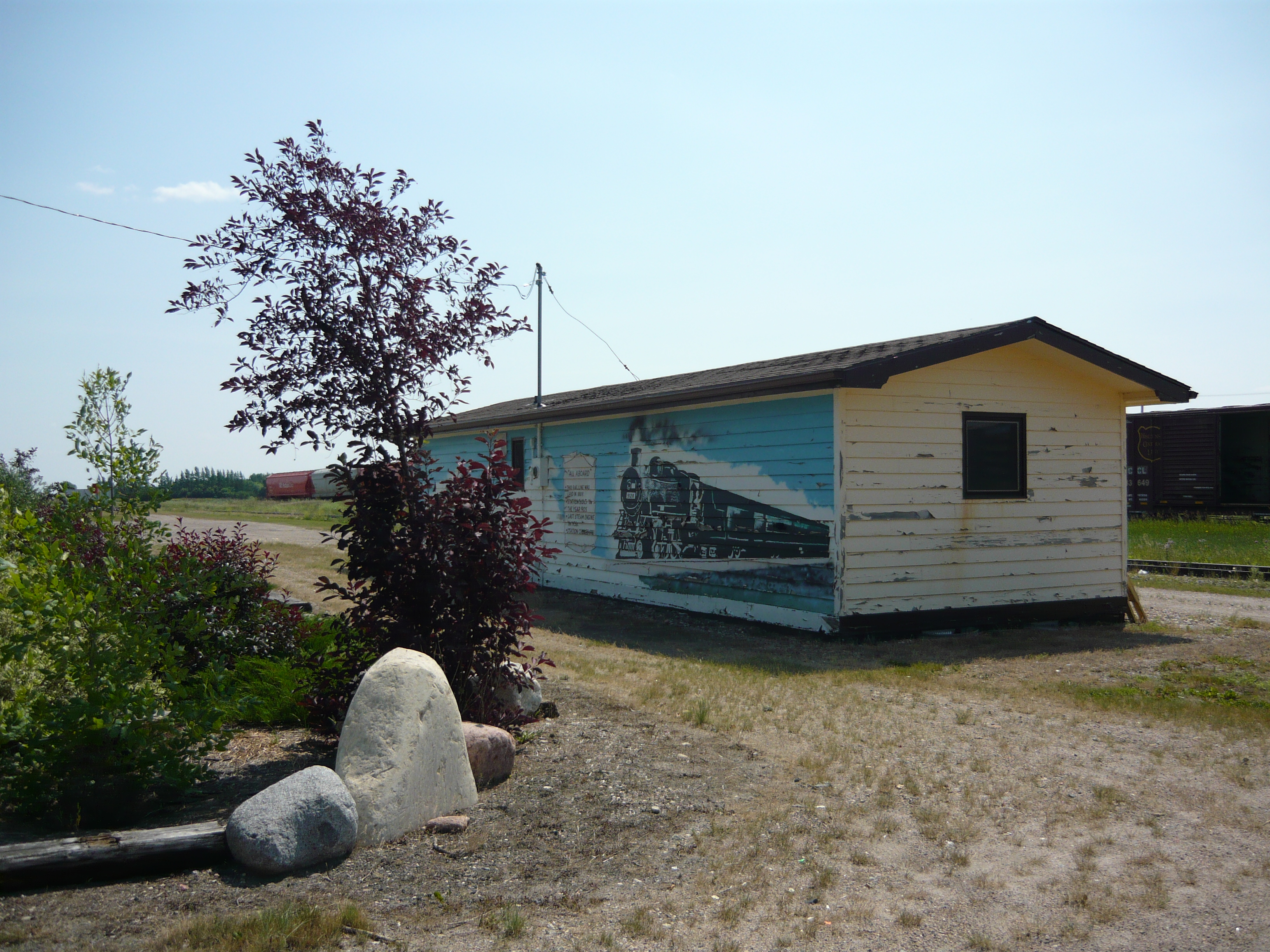
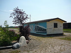 Train station
According to the Canada 2006 Census:
* Population: 958 (-7.4 from 2001) * Land area: 4.49 km² * Population density: 213.5 people/km² * National population rank (Out of 5,008): Ranked {{{popRank}}} * Median age:† 44.8 (males: 43.5, females: 46.9) * Total private dwellings: 496 * Dwellings occupied by permanent residents: 436 * Mean household income:↑ $31 183 References:
Footnotes: ↑ The data has not yet been released and is based on 2001 Census.
Climate
Climate data for Davidson Month Jan Feb Mar Apr May Jun Jul Aug Sep Oct Nov Dec Year Record high °C (°F) 9.4
(48.9)14.4
(57.9)20
(68)32.2
(90.0)38
(100)42.2
(108.0)38.9
(102.0)40.6
(105.1)37.2
(99.0)31.7
(89.1)22.2
(72.0)15.6
(60.1)42.2
(108.0)Average high °C (°F) −11.5
(11.3)−7.5
(18.5)−1.2
(29.8)10
(50)18.1
(64.6)22.4
(72.3)25.3
(77.5)24.9
(76.8)18
(64)10.6
(51.1)−1.2
(29.8)−9.1
(15.6)8.2 Daily mean °C (°F) −16.8
(1.8)−12.9
(8.8)−6.5
(20.3)3.7
(38.7)11
(52)15.5
(59.9)18
(64)17.3
(63.1)11.1
(52.0)4.3
(39.7)−6.2
(20.8)−14.2
(6.4)2 Average low °C (°F) −22
(−8)−18.2
(−0.8)−11.7
(10.9)−2.5
(27.5)3.8
(38.8)8.5
(47.3)10.7
(51.3)9.6
(49.3)4.1
(39.4)−2
(28)−11.1
(12.0)−19.3
(−2.7)−4.2 Record low °C (°F) −46.7
(−52.1)−43.9
(−47.0)−40
(−40)−28.9
(−20.0)−10
(14)−5.5
(22.1)1.7
(35.1)−2.2
(28.0)−15
(5)−27
(−17)−35
(−31)−43
(−45)−46.7
(−52.1)Precipitation mm (inches) 17.2
(0.677)12.1
(0.476)16.9
(0.665)17.9
(0.705)46.9
(1.846)67
(2.64)58.8
(2.315)40.5
(1.594)37.9
(1.492)18.4
(0.724)12.2
(0.48)19.8
(0.78)365.6
(14.394)Source: Environment Canada[2] Location

Strongfield Bladworth Imperial Loreburn 
Stalwart  Davidson

Elbow Craik
GirvinLiberty See also
References
- ^ Canada Post Stamp Details, July to September 2010, p,8, Volume XIX, No. 3
- ^ Environment Canada Canadian Climate Normals 1971–2000, accessed 24 July 2010
External links
- Town of Davidson
- Regina Gen Web
- [1] Encyclopedia of Saskatchewan
Categories:- Towns in Saskatchewan


Wikimedia Foundation. 2010.