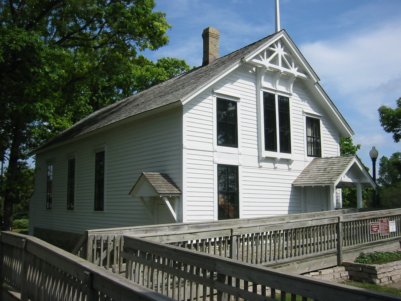
- Minnehaha Grange Hall
-
Minnehaha Grange Hall


Location: Eden Ave. at Hwy. 100
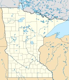
Edina, MinnesotaCoordinates: 44°54′38.77″N 93°20′58.6″W / 44.9107694°N 93.349611°WCoordinates: 44°54′38.77″N 93°20′58.6″W / 44.9107694°N 93.349611°W Built: 1879[3] Governing body: Private NRHP Reference#: 70000914[1][2] Added to NRHP: October 9, 1970 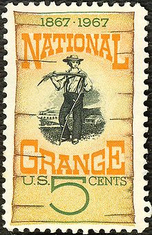
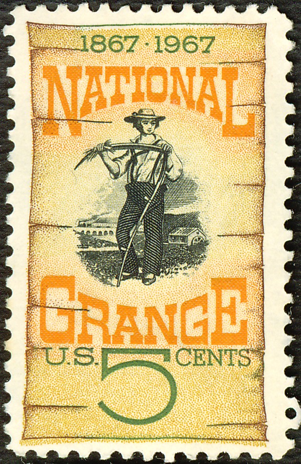
Minnehaha Grange No. 398 was organized on December 23, 1873, with members from Edina Mills, Richfield Mills, St. Louis Park, and Hopkins. The National Grange of the Order of Patrons of Husbandry, commonly known as the Grange, is an organization dedicated to the principles of “progressive agriculture” for the “social fraternity of the farmers”. The organization was founded in 1867 by Oliver Hudson Kelley in Elk River, Sherburne County, Minnesota and quickly spread across the country. The fraternity tackled issues such as railroad prices, and providing education to farmers. The Grange Hall was moved to Tupa Park near Minnesota State Highway 100 and Eden Avenue in Edina, Minnesota from its original location at the southeast corner of Wooddale Avenue and West 50th Street. The building also served as Edina Village Hall from 1888 to 1942.[3][4]
References
- ^ "National Register Information System". National Register of Historic Places. National Park Service. 2007-01-23. http://nrhp.focus.nps.gov/natreg/docs/All_Data.html.
- ^ "National Register of Historic Places". National Park Service. 2007-10-12. http://www.nationalregisterofhistoricplaces.com/MN/Hennepin/State.html.
- ^ a b "Arneson Acres". City of Edina. http://www.ci.edina.mn.us/content/facilities/arneson_acres/historical_society/cahill_school/index.htm. Retrieved 2007-10-15.
- ^ "The Grange". St. Louis Park Historical Society. http://www.slphistory.org/history/grange.asp. Retrieved 2007-10-15.
U.S. National Register of Historic Places Topics Lists by states Alabama • Alaska • Arizona • Arkansas • California • Colorado • Connecticut • Delaware • Florida • Georgia • Hawaii • Idaho • Illinois • Indiana • Iowa • Kansas • Kentucky • Louisiana • Maine • Maryland • Massachusetts • Michigan • Minnesota • Mississippi • Missouri • Montana • Nebraska • Nevada • New Hampshire • New Jersey • New Mexico • New York • North Carolina • North Dakota • Ohio • Oklahoma • Oregon • Pennsylvania • Rhode Island • South Carolina • South Dakota • Tennessee • Texas • Utah • Vermont • Virginia • Washington • West Virginia • Wisconsin • WyomingLists by territories Lists by associated states Other  Category:National Register of Historic Places •
  Portal:National Register of Historic PlacesCategories:
- National Register of Historic Places in Minnesota
- Edina, Minnesota
- Buildings and structures completed in 1879
- Buildings and structures in Hennepin County, Minnesota
- Grange organizations and buildings in Minnesota
- Grange buildings on the National Register of Historic Places
- Minnesota Registered Historic Place stubs

Wikimedia Foundation. 2010.