- Mondamin, Iowa
-
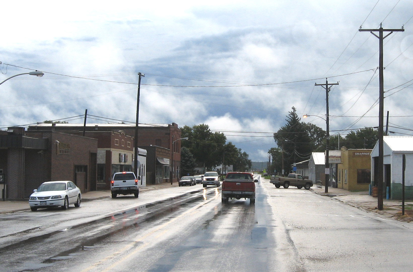
Mondamin, Iowa — City — Downtown Mondamin, Iowa Location of Mondamin, Iowa
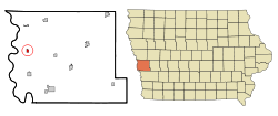
Coordinates: 41°42′35″N 96°1′16″W / 41.70972°N 96.02111°WCoordinates: 41°42′35″N 96°1′16″W / 41.70972°N 96.02111°W Country  United States
State  Iowa
IowaCounty Harrison Area – Total 0.5 sq mi (1.2 km2) – Land 0.5 sq mi (1.2 km2) – Water 0.0 sq mi (0.0 km2) Elevation 1,024 ft (312 m) Population (2000) – Total 423 – Density 915.0/sq mi (353.3/km2) Time zone Central (CST) (UTC-6) – Summer (DST) CDT (UTC-5) ZIP code 51557 Area code(s) 712 FIPS code 19-53175 GNIS feature ID 0459168 Mondamin is a city in Harrison County, Iowa, United States. The population was 423 at the 2000 census.
Geography
Mondamin is located at 41°42′35″N 96°1′16″W / 41.70972°N 96.02111°W (41.709831, -96.021068)[1].
According to the United States Census Bureau, the city has a total area of 0.5 square miles (1.3 km2), all of it land.
Demographics
As of the census[2] of 2000, there were 423 people, 175 households, and 120 families residing in the city. The population density was 915.0 people per square mile (355.0/km²). There were 191 housing units at an average density of 413.1 per square mile (160.3/km²). The racial makeup of the city was 98.35% White, 0.24% Native American, and 1.42% from two or more races. Hispanic or Latino of any race were 0.24% of the population.
There were 175 households out of which 32.6% had children under the age of 18 living with them, 56.0% were married couples living together, 6.9% had a female householder with no husband present, and 30.9% were non-families. 26.3% of all households were made up of individuals and 12.6% had someone living alone who was 65 years of age or older. The average household size was 2.42 and the average family size was 2.92.
In the city the population was spread out with 26.2% under the age of 18, 6.1% from 18 to 24, 29.1% from 25 to 44, 22.0% from 45 to 64, and 16.5% who were 65 years of age or older. The median age was 37 years. For every 100 females there were 93.2 males. For every 100 females age 18 and over, there were 90.2 males.
The median income for a household in the city was $40,278, and the median income for a family was $41,406. Males had a median income of $31,667 versus $21,146 for females. The per capita income for the city was $18,123. About 4.9% of families and 3.1% of the population were below the poverty line, including 1.6% of those under age 18 and 3.0% of those age 65 or over.
References
- ^ "US Gazetteer files: 2010, 2000, and 1990". United States Census Bureau. 2011-02-12. http://www.census.gov/geo/www/gazetteer/gazette.html. Retrieved 2011-04-23.
- ^ "American FactFinder". United States Census Bureau. http://factfinder.census.gov. Retrieved 2008-01-31.
Metropolitan area of Omaha-Council Bluffs Primary Cities NebraskaIowa
Cities over 10,000
(per 2000 Census)NebraskaCities of 5,000 to 10,000
(per 2000 Census)NebraskaIowaCities of 1,000 to 5,000
(per 2000 Census)NebraskaIowaCensus-designated places NebraskaCities and villages
of fewer than 1,000
(per 2000 Census)NebraskaAlvo · Avoca · Bennington · Boys Town · Cedar Bluffs · Cedar Creek · Ceresco · Colon · Elmwood · Fort Calhoun · Greenwood · Herman · Ithaca · Kennard · Leshara · Malmo · Manley · Mead · Memphis · Morse Bluff · Murdock · Murray · Nehawka · Prague · South Bend · Union · Valparaiso · Washington · Waterloo · WestonIowaCounties NebraskaIowaMunicipalities and communities of Harrison County, Iowa Cities Dunlap‡ | Little Sioux | Logan | Magnolia | Missouri Valley | Modale | Mondamin | Persia | Pisgah | Woodbine

Townships Allen | Boyer | Calhoun | Cass | Cincinnati | Clay | Douglas | Harrison | Jackson | Jefferson | La Grange | Lincoln | Little Sioux | Magnolia | Morgan | Raglan | St. John | Taylor | Union | Washington
Footnotes ‡This populated place also has portions in an adjacent county or counties
Categories:- Cities in Iowa
- Populated places in Harrison County, Iowa


Wikimedia Foundation. 2010.