- Napili-Honokowai, Hawaii
-
Napili-Honokowai, Hawaii — CDP — Honokowai Beach Park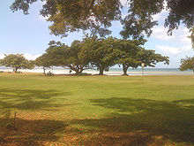 Location in Maui County and the state of Hawaii
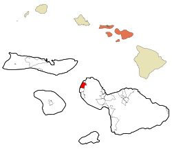
Coordinates: 20°58′1″N 156°40′14″W / 20.96694°N 156.67056°WCoordinates: 20°58′1″N 156°40′14″W / 20.96694°N 156.67056°W Country United States State Hawaii County Maui Area – Total 6.7 sq mi (17.2 km2) – Land 5.9 sq mi (15.2 km2) – Water 0.8 sq mi (2.0 km2) Population (2000) – Total 6,788 – Density 1,153.9/sq mi (445.5/km2) Time zone Hawaii-Aleutian (UTC-10) Area code(s) 808 FIPS code 15-54100 Nāpili-Honokōwai is a census-designated place (CDP) in Maui County, Hawaiʻi, United States. The population was 6,788 at the 2000 census.
Contents
Geography
Nāpili-Honokōwai is located at 20°58′1″N 156°40′14″W / 20.96694°N 156.67056°W (20.966949, -156.670672)[1].
According to the United States Census Bureau, the CDP has a total area of 6.7 square miles (17 km2), of which, 5.9 square miles (15 km2) of it is land and 0.8 square miles (2.1 km2) of it (11.58%) is water.
Transportation
The former Kaanapali Airport[2] and its replacement the Kapalua Airport[3] (known as the Kapalua-West Maui Airport)[4] are in the CDP.
Demographics
As of the census[5] of 2000, there were 6,788 people, 2,629 households, and 1,469 families residing in the CDP. The population density was 1,153.9 people per square mile (445.7/km²). There were 4,681 housing units at an average density of 795.7 per square mile (307.4/km²). The racial makeup of the CDP was 53.62% White, 0.72% African American, 0.43% Native American, 19.12% Asian, 8.09% Pacific Islander, 4.15% from other races, and 13.86% from two or more races. Hispanic or Latino of any race were 10.72% of the population.
There were 2,629 households out of which 28.3% had children under the age of 18 living with them, 42.4% were married couples living together, 8.8% had a female householder with no husband present, and 44.1% were non-families. 27.7% of all households were made up of individuals and 3.4% had someone living alone who was 65 years of age or older. The average household size was 2.58 and the average family size was 3.20.
In the CDP the population was spread out with 22.7% under the age of 18, 7.9% from 18 to 24, 40.6% from 25 to 44, 22.5% from 45 to 64, and 6.2% who were 65 years of age or older. The median age was 35 years. For every 100 females there were 106.6 males. For every 100 females age 18 and over, there were 107.7 males.
The median income for a household in the CDP was $51,030, and the median income for a family was $56,944. Males had a median income of $32,554 versus $28,979 for females. The per capita income for the CDP was $24,814. About 5.5% of families and 9.5% of the population were below the poverty line, including 9.0% of those under age 18 and 1.7% of those age 65 or over.
-
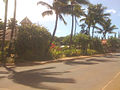
Lower Honoapi'ilani Road
-
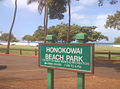
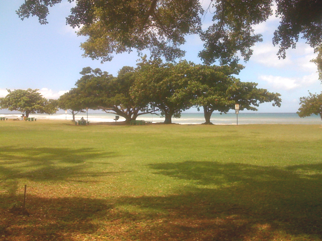
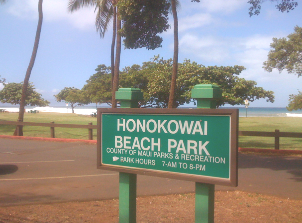
Honokowai Beach Park
References
- ^ "US Gazetteer files: 2010, 2000, and 1990". United States Census Bureau. 2011-02-12. http://www.census.gov/geo/www/gazetteer/gazette.html. Retrieved 2011-04-23.
- ^ U.S. Geological Survey Geographic Names Information System: Kaanapali Airport
- ^ FAA Airport Master Record for JHM (Form 5010 PDF)
- ^ U.S. Geological Survey Geographic Names Information System: Kapalua-West Maui Airport
- ^ "American FactFinder". United States Census Bureau. http://factfinder.census.gov. Retrieved 2008-01-31.
 State of Hawaii
Topics - Geography
- Government
- Delegations
- History
- Islands
- Music
- Language
- People
- Visitor Attractions
Society Main Islands Northwestern
IslandsCommunities Counties Municipalities and communities of Maui County, Hawaii CDPs Haiku-Pauwela | Haliimaile | Hana | Kaanapali | Kahului | Kapalua | Kaunakakai | Kihei | Kualapuu | Lahaina | Lanai City | Maalaea | Makawao | Maunaloa | Napili-Honokowai | Paia | Pukalani | Waihee-Waiehu | Waikapu | Wailea-Makena | Wailuku

Unincorporated
communitiesCategories:- Census-designated places in Maui County, Hawaii
- Populated places on Maui
-


Wikimedia Foundation. 2010.