- Cibecue, Arizona
-
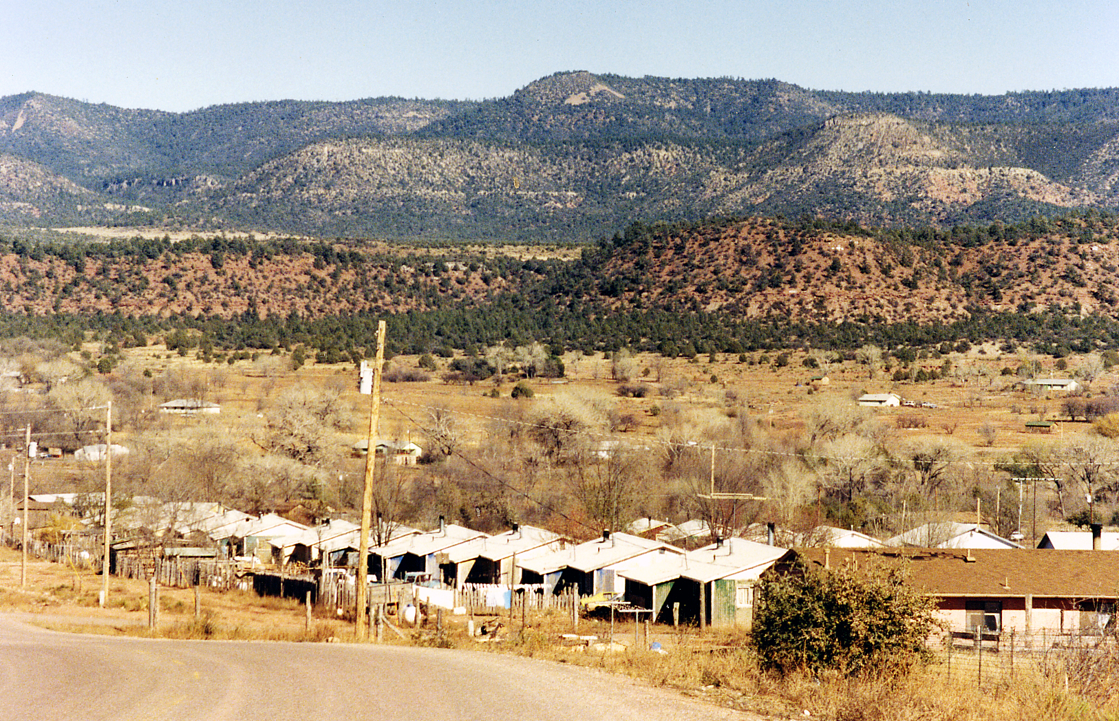
Cibecue, Arizona — CDP — View of Cibecue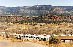 Location in the Fort Apache Indian Reservation, Navajo County, and the state of Arizona
Coordinates: 34°2′23″N 110°29′8″W / 34.03972°N 110.48556°WCoordinates: 34°2′23″N 110°29′8″W / 34.03972°N 110.48556°W Country United States State Arizona County Navajo Area – Total 6 sq mi (15.5 km2) – Land 6.0 sq mi (15.5 km2) – Water 0.0 sq mi (0.0 km2) Elevation 4,920 ft (1,500 m) Population (2000) – Total 1,331 – Density 223.1/sq mi (86.1/km2) Time zone MST (UTC-7) ZIP code 85911 Area code(s) 928 FIPS code 04-13400 GNIS feature ID 0002921 Cibecue (Western Apache: Deshchiiʼ Bikoh) is a census-designated place (CDP) in Navajo County, Arizona, United States. The population was 1,331 at the 2000 census.
The current council leaders are Arnold Beach Sr. and Gregg Henry (http://www.wmat.nsn.us/tribal_council.html).
The Cibecue community has a high unemployment rate, which was exacerbated by the Rodeo-Chediski fire, Arizona's largest wildfire in recorded history. The main employer for the community is the school.[citation needed]
Contents
Geography
Cibecue is located at 34°2′23″N 110°29′8″W / 34.03972°N 110.48556°W (34.039644, -110.485435).[1]
According to the United States Census Bureau, the CDP has a total area of 6.0 square miles (16 km2), all of it land.
Demographics
As of the census[2] of 2000, there were 1,331 people, 323 households, and 268 families residing in the CDP. The population density was 223.1 people per square mile (86.1/km²). There were 344 housing units at an average density of 57.7/sq mi (22.2/km²). The racial makeup of the CDP was 96.02% Native American, 2.63% White, 0.08% Black or African American, 0.15% Asian, 0.23% from other races, and 0.90% from two or more races. 2.03% of the population were Hispanic or Latino of any race.
There were 323 households out of which 54.8% had children under the age of 18 living with them, 41.8% were married couples living together, 34.1% had a female householder with no husband present, and 17.0% were non-families. 13.6% of all households were made up of individuals and 2.8% had someone living alone who was 65 years of age or older. The average household size was 4.11 and the average family size was 4.45.
In the CDP the population was spread out with 45.2% under the age of 18, 10.6% from 18 to 24, 25.9% from 25 to 44, 13.7% from 45 to 64, and 4.7% who were 65 years of age or older. The median age was 21 years. For every 100 females there were 96.6 males. For every 100 females age 18 and over, there were 93.1 males.
The median income for a household in the CDP was $12,286, and the median income for a family was $13,750. Males had a median income of $52,639 versus $21,591 for females. The per capita income for the CDP was $5,941. About 55.7% of families and 68.7% of the population were below the poverty line, including 72.5% of those under age 18 and 70.9% of those age 65 or over.
Education
The area is served by the Whiteriver Unified School District, and the Cibecue Community School.
References
- ^ "US Gazetteer files: 2010, 2000, and 1990". United States Census Bureau. 2011-02-12. http://www.census.gov/geo/www/gazetteer/gazette.html. Retrieved 2011-04-23.
- ^ "American FactFinder". United States Census Bureau. http://factfinder.census.gov. Retrieved 2008-01-31.
Municipalities and communities of Navajo County, Arizona Cities 
Towns CDPs Chilchinbito | Cibecue | Dilkon | East Fork | First Mesa | Greasewood | Heber-Overgaard | Hotevilla-Bacavi | Jeddito | Kayenta | Keams Canyon | Kykotsmovi Village | McNary‡ | Oljato-Monument Valley | Pinon | Second Mesa | Shongopovi | Shonto | Whiteriver | Winslow West‡
Unincorporated
communitiesClay Springs | Fort Apache | Indian Wells | Joseph City | Linden | Oraibi | Pinedale | Polacca | Sun Valley | White Mountain Lakes Estates | Woodruff
Ghost towns Brigham City | Sunset
Footnotes ‡This populated place also has portions in an adjacent county or counties
Cibecue was a location for filming much of "Cowboys and Aliens."
Categories:- Census-designated places in Navajo County, Arizona
- Populated places in Arizona with Native American majority populations
- Populated places of the Mogollon Rim


Wikimedia Foundation. 2010.