- Whiteriver, Arizona
Infobox Settlement
official_name = Whiteriver, Arizona
settlement_type = CDP
imagesize =
image_caption =
image_
imagesize =
image_caption =
image_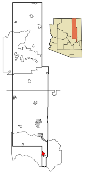
mapsize = 250px
map_caption = Location inNavajo County and the state ofArizona
mapsize1 =
map_caption1 =
subdivision_type = Country
subdivision_type1 = State
subdivision_type2 = County
subdivision_name =United States
subdivision_name1 =Arizona
subdivision_name2 = Navajo
government_type =
leader_title =
leader_name =
established_date =
area_magnitude =
area_total_km2 = 46.1
area_total_sq_mi = 17.8
area_land_km2 = 46.1
area_land_sq_mi = 17.8
area_water_km2 = 0.0
area_water_sq_mi = 0.0
elevation_ft = 5245
elevation_m = 1599
population_as_of = 2000
population_footnotes =
population_total = 5220
population_metro =
population_density_km2 = 113.1
population_density_sq_mi = 293.0
timezone = MST
utc_offset = -7
latd = 33 |latm = 49 |lats = 59 |latNS = N
longd = 109 |longm = 58 |longs = 28 |longEW = W
timezone_DST =
utc_offset_DST =
postal_code_type =ZIP code
postal_code = 85941
area_code = 928
blank_name = FIPS code
blank_info = 04-82530
blank1_name = GNIS feature ID
blank1_info = 0013704
footnotes =
website =Whiteriver (Western Apache: Chʼílwozh) is a
census-designated place (CDP) in Navajo County,Arizona ,United States . The population was 5,220 at the 2000 census.Geography
Whiteriver is located at coor dms|33|49|59|N|109|58|28|W|city (33.833005, -109.974547)GR|1.
According to the
United States Census Bureau , the CDP has a total area of 17.8square mile s (46.2km² ), all of it land.Demographics
As of the
census GR|2 of 2000, there were 5,220 people, 1,249 households, and 1,054 families residing in the CDP. Thepopulation density was 293.0 people per square mile (113.1/km²). There were 1,330 housing units at an average density of 74.6/sq mi (28.8/km²). The racial makeup of the CDP was 3.03% White, 0.04% Black or African American, 95.10% Native American, 0.04% Asian, 0.31% from other races, and 1.49% from two or more races. 1.90% of the population were Hispanic or Latino of any race.There were 1,249 households out of which 56.4% had children under the age of 18 living with them, 43.1% were married couples living together, 34.3% had a female householder with no husband present, and 15.6% were non-families. 12.8% of all households were made up of individuals and 1.3% had someone living alone who was 65 years of age or older. The average household size was 4.10 and the average family size was 4.45.
In the CDP the population was spread out with 44.4% under the age of 18, 10.6% from 18 to 24, 28.6% from 25 to 44, 13.3% from 45 to 64, and 3.2% who were 65 years of age or older. The median age was 21 years. For every 100 females there were 91.7 males. For every 100 females age 18 and over, there were 89.5 males.
The median income for a household in the CDP was $17,415, and the median income for a family was $17,774. Males had a median income of $18,490 versus $20,463 for females. The
per capita income for the CDP was $5,719. About 46.9% of families and 51.6% of the population were below thepoverty line , including 59.2% of those under age 18 and 35.2% of those age 65 or over.Religion: As of 2005, the Apache Reservation in which Whiteriver is located showed a decrease from 73% traditional or atheist to 43%. The percent of the population that consider themselves "Christian" is currently 53%.
Education
Whiteriver is served by the
Whiteriver Unified School District .Alchesay High School is the secondary school of Whiteriver.
References
External links
Wikimedia Foundation. 2010.