- Greasewood, Arizona
Infobox Settlement
official_name = Greasewood, Arizona
settlement_type = CDP
imagesize =
image_caption =
image_
imagesize =
image_caption =
image_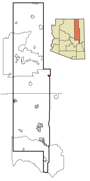
mapsize = 250px
map_caption = Location inNavajo County and the state ofArizona
mapsize1 =
map_caption1 =
subdivision_type = Country
subdivision_type1 = State
subdivision_type2 = County
subdivision_name =United States
subdivision_name1 =Arizona
subdivision_name2 = Navajo
government_type =
leader_title =
leader_name =
established_date =
area_magnitude =
area_total_km2 = 13.7
area_total_sq_mi = 5.3
area_land_km2 = 13.8
area_land_sq_mi = 5.3
area_water_km2 = 0.0
area_water_sq_mi = 0.0
elevation_ft = 5910
elevation_m = 1801
population_as_of = 2000
population_footnotes =
population_total = 581
population_metro =
population_density_km2 = 42.0
population_density_sq_mi = 108.7
timezone = MST
utc_offset = -7
latd = 35 |latm = 31 |lats = 32 |latNS = N
longd = 109 |longm = 51 |longs = 54 |longEW = W
timezone_DST =
utc_offset_DST =
postal_code_type =
postal_code =
area_code =
blank_name = FIPS code
blank_info = 04-29430
blank1_name = GNIS feature ID
blank1_info = 0005336
footnotes =
website =Greasewood ( _nv. Díwózhii Biiʼ Tó) is a
census-designated place (CDP) in Navajo County,Arizona ,United States . The population was 581 at the 2000 census.Geography
Greasewood is located at coor dms|35|31|32|N|109|51|54|W|city (35.525467, -109.865005)GR|1.
According to the
United States Census Bureau , the CDP has a total area of 5.3square mile s (13.8km² ), all of it land.Demographics
As of the
census GR|2 of 2000, there were 581 people, 126 households, and 106 families residing in the CDP. Thepopulation density was 108.7 people per square mile (42.0/km²). There were 182 housing units at an average density of 34.1/sq mi (13.2/km²). The racial makeup of the CDP was 2.41% White, 97.07% Native American, 0.17% Pacific Islander, 0.17% from other races, and 0.17% from two or more races. 0.69% of the population were Hispanic or Latino of any race.There were 126 households out of which 49.2% had children under the age of 18 living with them, 54.0% were married couples living together, 22.2% had a female householder with no husband present, and 15.1% were non-families. 13.5% of all households were made up of individuals and 2.4% had someone living alone who was 65 years of age or older. The average household size was 4.12 and the average family size was 4.55.
In the CDP the population was spread out with 47.2% under the age of 18, 9.6% from 18 to 24, 24.3% from 25 to 44, 16.2% from 45 to 64, and 2.8% who were 65 years of age or older. The median age was 19 years. For every 100 females there were 91.7 males. For every 100 females age 18 and over, there were 95.5 males.
The median income for a household in the CDP was $16,583, and the median income for a family was $20,234. Males had a median income of $28,333 versus $18,750 for females. The
per capita income for the CDP was $5,490. About 42.2% of families and 43.6% of the population were below thepoverty line , including 47.5% of those under age 18 and 35.3% of those age 65 or over.Education
The area is served by the
Holbrook Unified School District . Nearby Indian Wells Elementary School serves Greasewood.Holbrook Junior High School and Holbrook High School, in Holbrook, serve Greasewood.
References
External links
Wikimedia Foundation. 2010.