- Kykotsmovi Village, Arizona
Infobox Settlement
official_name = Kykotsmovi Village, Arizona
settlement_type = CDP
imagesize =
image_caption =
image_
imagesize =
image_caption =
image_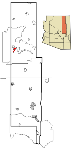
mapsize = 250px
map_caption = Location inNavajo County and the state ofArizona
mapsize1 =
map_caption1 =
subdivision_type = Country
subdivision_type1 = State
subdivision_type2 = County
subdivision_name =United States
subdivision_name1 =Arizona
subdivision_name2 = Navajo
government_type =
leader_title =
leader_name =
established_date =
area_magnitude =
area_total_km2 = 43.5
area_total_sq_mi = 16.8
area_land_km2 = 43.6
area_land_sq_mi = 16.8
area_water_km2 = 0.0
area_water_sq_mi = 0.0
elevation_ft = 5679
elevation_m = 1731
population_as_of = 2000
population_footnotes =
population_total = 776
population_metro =
population_density_km2 = 17.8
population_density_sq_mi = 46.1
timezone = MST
utc_offset = -7
latd = 35 |latm = 52 |lats = 15 |latNS = N
longd = 110 |longm = 37 |longs = 6 |longEW = W
timezone_DST =
utc_offset_DST =
postal_code_type =ZIP code
postal_code = 86039
area_code = 928
blank_name = FIPS code
blank_info = 04-39100
blank1_name = GNIS feature ID
blank1_info = 1866988
footnotes =
website =Kykotsmovi Village (Hopi: Kiqötsmovi, affectionately known as K-Town) is a
census-designated place (CDP) in Navajo County,Arizona , and the home of theHopi tribal government. The population was 776 at the 2000 census.History
The village was founded after an internal Hopi dispute in
Oraibi in 1906 concerning how to interact with missionaries and federal agents and programs. Kykotsmovi is sometimes referred to as Oraibi or New Oraibi. [http://tps.cr.nps.gov/nhl/detail.cfm?ResourceId=100&ResourceType=District] [http://www.arizonahandbook.com/hopi.htm]Geography
Kykotsmovi lies at the foot of the Third Mesa.
Kykotsmovi Village is located at coor dms|35|52|15|N|110|37|6|W|city (35.870755, -110.618340)GR|1.
According to the
United States Census Bureau , the CDP has a total area of 16.8 square miles (43.6 km²), all of it land.Demographics
As of the
census GR|2 of 2000, there were 776 people, 253 households, and 184 families residing in the CDP. Thepopulation density was 46.1 people per square mile (17.8/km²). There were 302 housing units at an average density of 17.9/sq mi (6.9/km²). The racial makeup of the CDP was 93.43% Native American, 3.87% White, 0.90% Black or African American, 0.26% Asian, 0.26% from other races, and 1.29% from two or more races. 1.42% of the population were Hispanic or Latino of any race.There were 253 households out of which 32.8% had children under the age of 18 living with them, 41.9% were married couples living together, 23.7% had a female householder with no husband present, and 26.9% were non-families. 25.3% of all households were made up of individuals and 10.3% had someone living alone who was 65 years of age or older. The average household size was 3.07 and the average family size was 3.69.
In the CDP the population was spread out with 32.9% under the age of 18, 9.3% from 18 to 24, 24.6% from 25 to 44, 22.2% from 45 to 64, and 11.1% who were 65 years of age or older. The median age was 32 years. For every 100 females there were 96.5 males. For every 100 females age 18 and over, there were 94.4 males.
The median income for a household in the CDP was $23,750, and the median income for a family was $30,729. Males had a median income of $21,964 versus $20,972 for females. The
per capita income for the CDP was $9,067. About 24.0% of families and 24.8% of the population were below thepoverty line , including 22.7% of those under age 18 and 30.4% of those age 65 or over.Hopi Day School
References
cite book
last = Thompson
first = Laura
coauthors = Alice Joseph
title = The Hopi Way
publisher = Russell & Russell
date = 1945, 1965
location = New York
pages = 30External links
Wikimedia Foundation. 2010.