- Second Mesa, Arizona
Infobox Settlement
official_name = Second Mesa, Arizona
settlement_type = CDP
imagesize =
image_caption =
image_
imagesize =
image_caption =
image_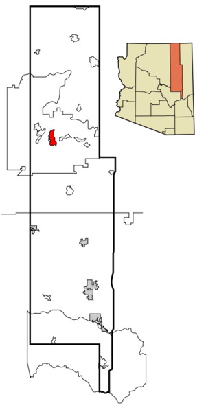
mapsize = 250px
map_caption = Location inNavajo County and the state ofArizona
mapsize1 =
map_caption1 =
subdivision_type = Country
subdivision_type1 = State
subdivision_type2 = County
subdivision_name =United States
subdivision_name1 =Arizona
subdivision_name2 = Navajo
government_type =
leader_title =
leader_name =
established_date =
area_magnitude =
area_total_km2 = 68.6
area_total_sq_mi = 26.5
area_land_km2 = 68.5
area_land_sq_mi = 26.4
area_water_km2 = 0.0
area_water_sq_mi = 0.0
elevation_ft = 5700
elevation_m = 1737
population_as_of = 2000
population_footnotes =
population_total = 814
population_metro =
population_density_km2 = 11.9
population_density_sq_mi = 30.8
timezone = MST
utc_offset = -7
latd = 35 |latm = 49 |lats = 3 |latNS = N
longd = 110 |longm = 30 |longs = 15 |longEW = W
timezone_DST =
utc_offset_DST =
postal_code_type =ZIP code
postal_code = 86043
area_code = 928
blank_name = FIPS code
blank_info = 04-65280
blank1_name = GNIS feature ID
blank1_info = 0042897
footnotes =
website =Second Mesa is a
census-designated place (CDP) in Navajo County,Arizona on theHopi Reservation . As of the 2000 census, the CDP population was 814, spread among three Hopi Indian villages atop the 5,700-foot (1,740-meter)mesa : Musungnuvi (or Mishongnovi), Supawlavi (or Sipaulovi), and Songoopavi (or Shungopavi). Second Mesa is also the site of the Hopi Cultural Center.Geography
Second Mesa is located at coor dms|35|49|3|N|110|30|15|W|city (35.817613, -110.504281)GR|1.
According to the
United States Census Bureau , the CDP has a total area of 26.5square mile s (68.5km² ).Demographics
As of the
census GR|2 of 2000, there were 814 people, 209 households, and 169 families residing in the CDP. Thepopulation density was 30.8 people per square mile (11.9/km²). There were 255 housing units at an average density of 9.6/sq mi (3.7/km²). The racial makeup of the CDP was 96.93% Native American, 1.23% White, 0.12% Asian, 0.12% from other races, and 1.60% from two or more races. 0.37% of the population were Hispanic or Latino of any race.There were 209 households out of which 45.9% had children under the age of 18 living with them, 45.0% were married couples living together, 33.5% had a female householder with no husband present, and 18.7% were non-families. 17.2% of all households were made up of individuals and 8.1% had someone living alone who was 65 years of age or older. The average household size was 3.89 and the average family size was 4.39.
In the CDP the population was spread out with 40.4% under the age of 18, 10.2% from 18 to 24, 24.6% from 25 to 44, 17.1% from 45 to 64, and 7.7% who were 65 years of age or older. The median age was 25 years. For every 100 females there were 95.2 males. For every 100 females age 18 and over, there were 90.9 males.
The median income for a household in the CDP was $22,981, and the median income for a family was $23,947. Males had a median income of $22,679 versus $21,898 for females. The
per capita income for the CDP was $6,089. About 32.7% of families and 36.3% of the population were below thepoverty line , including 36.6% of those under age 18 and 23.8% of those age 65 or over.Education
Second Mesa is a part of the
Cedar Unified School District .Hopi High School serves Second Mesa.References
External links
* [http://www.hopiculturalcenter.com Hopi Cultural Center]
Wikimedia Foundation. 2010.