- Hotevilla-Bacavi, Arizona
Infobox Settlement
official_name = Hotevilla-Bacavi, Arizona
settlement_type = CDP
imagesize =
image_caption =
image_
imagesize =
image_caption =
image_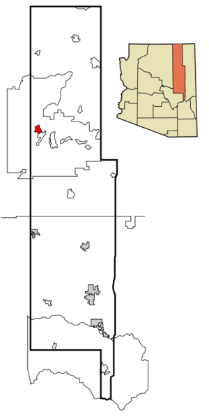
mapsize = 250px
map_caption = Location inNavajo County and the state ofArizona
mapsize1 =
map_caption1 =
subdivision_type = Country
subdivision_type1 = State
subdivision_type2 = County
subdivision_name =United States
subdivision_name1 =Arizona
subdivision_name2 = Navajo
government_type =
leader_title =
leader_name =
established_date =
area_magnitude =
area_total_km2 = 30.8
area_total_sq_mi = 11.9
area_land_km2 = 30.8
area_land_sq_mi = 11.9
area_water_km2 = 0.0
area_water_sq_mi = 0.0
elevation_ft = 6296
elevation_m = 1919
population_as_of = 2000
population_footnotes =
population_total = 767
population_metro =
population_density_km2 = 24.9
population_density_sq_mi = 64.4
timezone = MST
utc_offset = -7
latd = 35 |latm = 55 |lats = 23 |latNS = N
longd = 110 |longm = 39 |longs = 56 |longEW = W
timezone_DST =
utc_offset_DST =
postal_code_type =
postal_code =
area_code =
blank_name = FIPS code
blank_info = 04-33945
blank1_name = GNIS feature ID
blank1_info = 1853160
footnotes =
website =Hotevilla-Bacavi (Hopi: Hotvela-Paaqavi; also known as Third Mesa) is a
census-designated place (CDP) in Navajo County,Arizona ,United States , on theHopi Reservation . The population was 767 at the 2000 census.Geography
Hotevilla-Bacavi is located at coor dms|35|55|23|N|110|39|56|W|city (35.922929, -110.665621)GR|1.
According to the
United States Census Bureau , the CDP has a total area of 11.9square mile s (30.8km² ), all of it land.Demographics
As of the
census GR|2 of 2000, there were 767 people, 246 households, and 181 families residing in the CDP. Thepopulation density was 64.4 people per square mile (24.9/km²). There were 331 housing units at an average density of 27.8/sq mi (10.7/km²). The racial makeup of the CDP was 95.96% Native American, 3.78% White, and 0.26% from two or more races. 1.04% of the population were Hispanic or Latino of any race.There were 246 households out of which 34.6% had children under the age of 18 living with them, 41.1% were married couples living together, 28.9% had a female householder with no husband present, and 26.4% were non-families. 24.4% of all households were made up of individuals and 8.9% had someone living alone who was 65 years of age or older. The average household size was 3.12 and the average family size was 3.72.
In the CDP the population was spread out with 31.0% under the age of 18, 9.0% from 18 to 24, 24.8% from 25 to 44, 22.7% from 45 to 64, and 12.5% who were 65 years of age or older. The median age was 35 years. For every 100 females there were 90.8 males. For every 100 females age 18 and over, there were 83.0 males.
The median income for a household in the CDP was $13,750, and the median income for a family was $18,500. Males had a median income of $12,174 versus $19,095 for females. The
per capita income for the CDP was $5,975. About 58.9% of families and 69.4% of the population were below thepoverty line , including 78.2% of those under age 18 and 41.4% of those age 65 or over.Education
Hotevilla-Bacavi is a part of the
Cedar Unified School District .White Cone High School serves Hotevilla-Bacavi.
References
External links
Wikimedia Foundation. 2010.