- Croajingolong National Park
-
Croajingolong National Park IUCN Category II (National Park)
Nearest town/city Mallacoota Area 875 km² Established 1979 Managing authorities Parks Victoria Official site Croajingolong National Park Croajingolong is a coastal national park in Victoria, Australia, 427 kilometres east of Melbourne.The name is thought to derive from the aboriginal word Krowathunkooloong, the name of the tribe inhabiting that area of Victoria.
Contents
Description
The park is linear in shape and bordered on the southern side by the Pacific Ocean, the western side by Bemm River and the eastern side by the township of Mallacoota. Its northern boundary consists of dense bushland and low hills. The dimensions of the park are approximately 80 km by 20 km, with an area of 875 km2. The 100 km Wilderness Coast Walk stretches the entire length of the park along beaches, through heathland and round rocky headlands.
Environment
Croajingolong National Park, with the adjoining Nadgee Nature Reserve in New South Wales, forms one of only 12 World Biosphere areas in Australia.[1] It contains ecosystems, habitats and gene pools that are managed sustainably. The park encloses the Sandpatch Wilderness Area and is contiguous with the Cape Howe Wilderness Area and the Nadgee Nature Reserve.
Important Bird Area
The eastern section of the park lies within the Nadgee to Mallacoota Inlet Important Bird Area, so identified by BirdLife International because it supports populations of Eastern Bristlebirds and Pilotbirds as well as other significant fauna.[2]
Visitor attractions
Popular destinations within the park include:
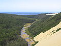
- Point Hicks and its lighthouse
- Tamboon Inlet resort town
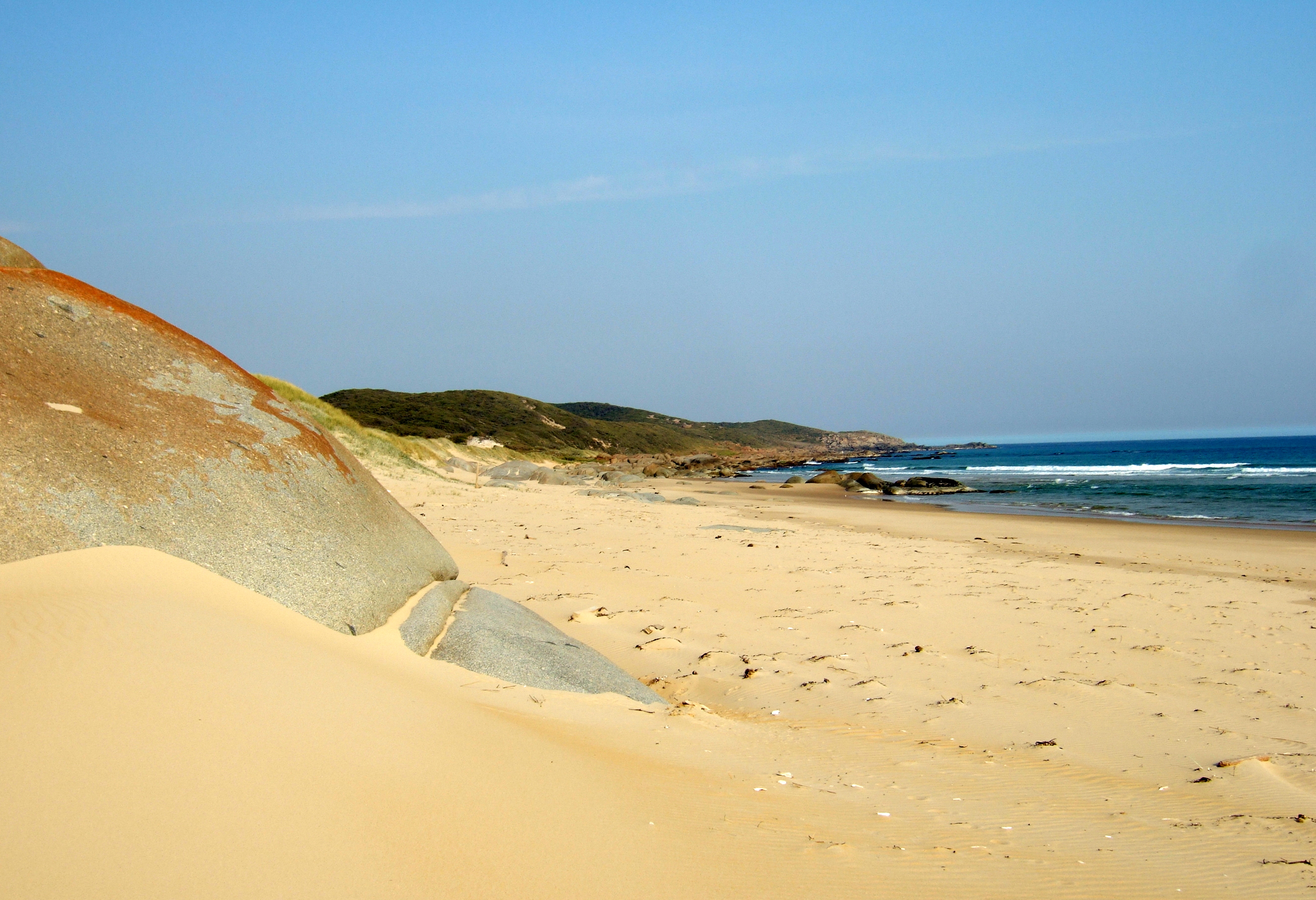
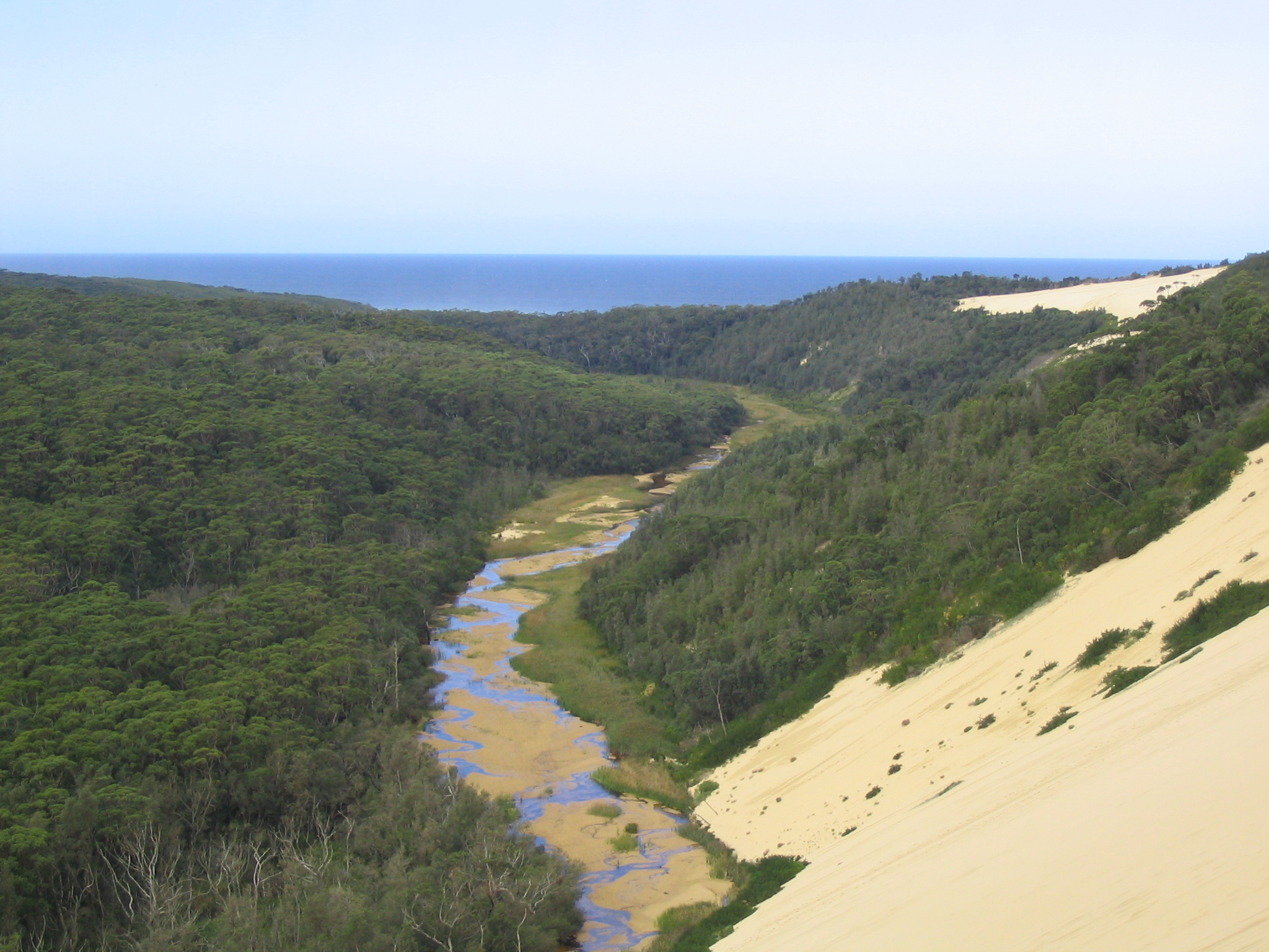
- Spectacular sand dunes at Thurra River
- Lake Elusive near Wingan Inlet
- Mount Everard.
- Rame Head
Facilities
Popular camping spots exist at Thurra River, Mueller Inlet and Wingan Inlet. Nearby towns are Mallacoota, Genoa, Cann River, Bemm River and Orbost.
Gallery
-

Looking north towards Rame Head.
-
Thurra River as seen from the top of the largest of the sand dunes in the Croajingolong National Park.
See also
- Protected areas of Victoria (Australia)
References
- ^ Department of Sustainability: Australia's Biosphere Reserves, retrieved 8 May 2011
- ^ "IBA: Nadgee to Mallacoota Inlet". Birdata. Birds Australia. http://www.birdata.com.au/iba.vm. Retrieved 2011-08-27.
External links
- Croajingolong National Park page, at Parks Victoria
- Hand made artist's book of etchings inspired by a bushwalk in Croajingolong National Park. Book created by Sandi Rigby and copy no.5 held by the Australian Library of Art, State Library of Queensland
National Parks of Victoria Alfred · Alpine · Barmah · Baw Baw · Brisbane Ranges · Burrowa-Pine Mountain · Chiltern-Mount Pilot · Churchill · Cobboboonee · Coopracambra · Croajingolong · Dandenong Ranges · Errinundra · French Island · Grampians · Great Otway · Greater Bendigo · Gunbower · Hattah-Kulkyne · Heathcote-Graytown · Kinglake · Lake Eildon · Lind · Little Desert · Lower Glenelg · Lower Goulburn · Mitchell River · Mornington Peninsula · Morwell · Mount Buffalo · Mount Eccles · Mount Richmond · Murray-Sunset · Organ Pipes · Point Nepean · Port Campbell · St Arnaud Range · Snowy River · Tarra-Bulga · Terrick Terrick · The Lakes · Warby-Ovens · Wilsons Promontory · Wyperfeld · Yarra RangesCategories:- IUCN Category II
- Croajingolong National Park
- Biosphere reserves of Australia
- National parks of Victoria (Australia)
- Protected areas established in 1979
- 1979 establishments in Australia
- Important Bird Areas of Australia

Wikimedia Foundation. 2010.