- Dandenong Ranges National Park
-
For other uses of the name Dandenong, see Dandenong (disambiguation).
Dandenong Ranges National Park IUCN Category II (National Park)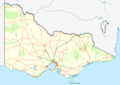
 Dandenong Ranges National Park
Nearest town/city *Ferntree Gully Coordinates 37°48′37″S 145°23′08″E / 37.81028°S 145.38556°E Area 32.15 km² Established 1987 Managing authorities Parks Victoria Official site Dandenong Ranges National Park Kokoda Track Memorial Walk 
Ferntree Gully Forest Sherbrooke Forest
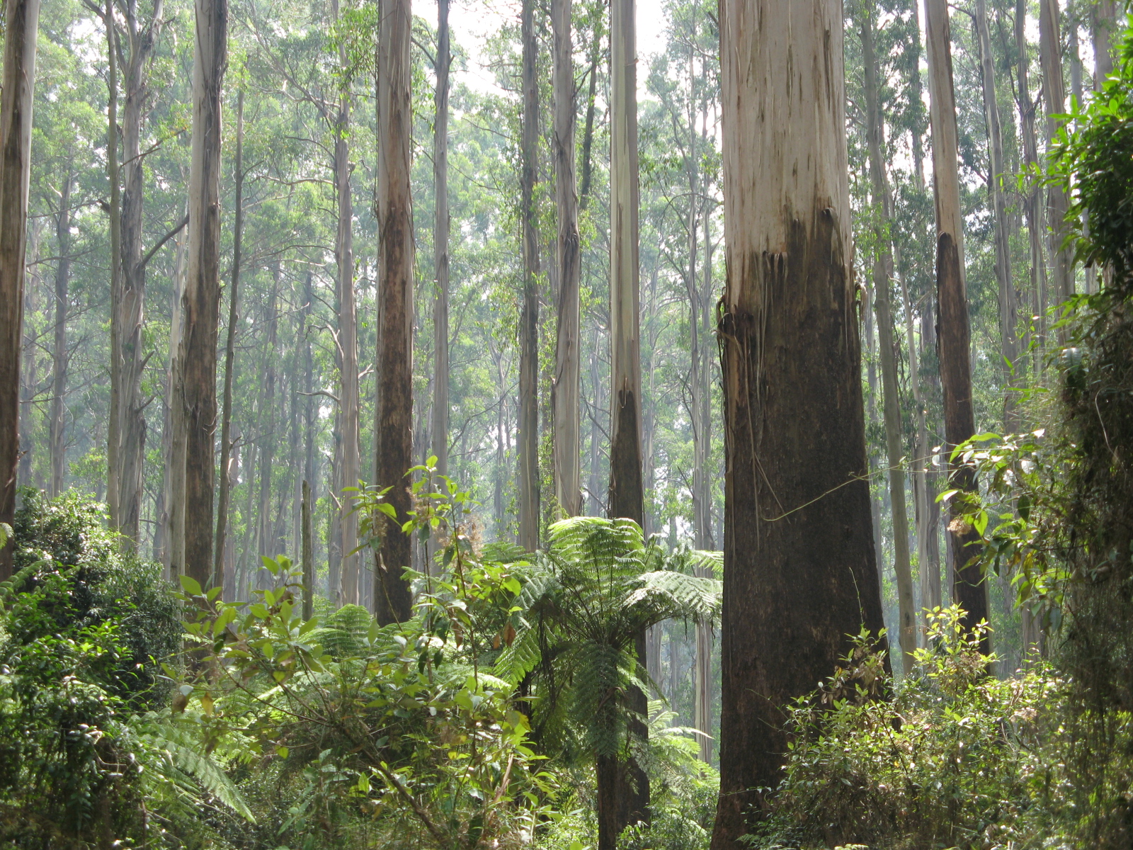
Dandenong Ranges National Park is in Victoria, Australia, 38 km east of Melbourne.
Because the park is located in an urban area, the park has a long history of major problems with feral and roaming animals. A cat-curfew was introduced in the entire Dandenong Ranges area some years ago, and since then the numbers and variety of lyrebirds and other native species have climbed dramatically.
Dandenong Ranges National Park is divided into five sections:
- Doongalla Forest – Containing Mount Dandenong itself, and the SkyHigh lookout with panoramic views of Melbourne's east.
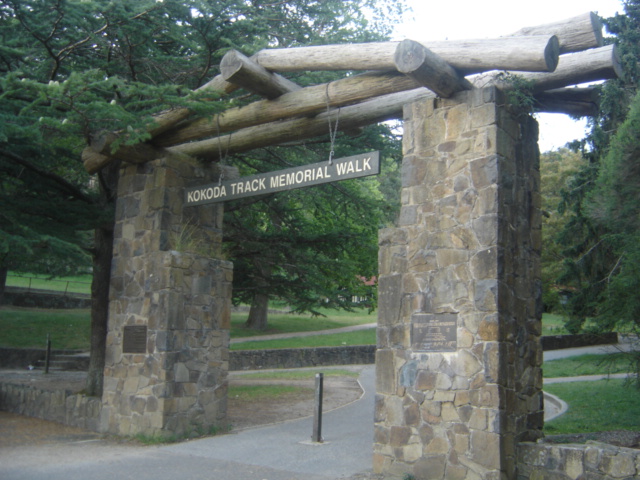
- Ferntree Gully – The south western section of the Dandenong Ranges National Park, located between the suburbs of Ferntree Gully and Boronia to the west, Upwey to the south, Tremont and Sassafras to the east and The Basin to the north. The park contains the Thousands Steps trail leading to One Tree Hill. The very steep walking trail includes over 700 steps over 2.5km and commemorates the battle for the Kokoda track in Territory of Papua during World War II. The steps are a popular destination for sightseers and fitness enthusiasts alike. During the AFL pre-season a number of Melbourne Australian Rules football League and Association teams run their players up the steps to promote team fitness. There is no specific creation date of the steps, however they are believed to be built during the early 1860s when they provided the only means of accessing the One Tree Hill Summit. According to a Tourist Guide published in 1868, all other areas contained thick forest vegetation. A survey of the park found that over 82% of visitors (on weekends) use the park for fitness-related walking. It is also a popular spot for picnics.
- Sherbrooke Forest
- Olinda Forest occupies the eastern slopes of Mount Dandenong.
- Mount Evelyn Forest is the most northerly section of the park.
See also
- Protected areas of Victoria (Australia)
External links
National Parks of Victoria Alfred · Alpine · Barmah · Baw Baw · Brisbane Ranges · Burrowa-Pine Mountain · Chiltern-Mount Pilot · Churchill · Cobboboonee · Coopracambra · Croajingolong · Dandenong Ranges · Errinundra · French Island · Grampians · Great Otway · Greater Bendigo · Gunbower · Hattah-Kulkyne · Heathcote-Graytown · Kinglake · Lake Eildon · Lind · Little Desert · Lower Glenelg · Lower Goulburn · Mitchell River · Mornington Peninsula · Morwell · Mount Buffalo · Mount Eccles · Mount Richmond · Murray-Sunset · Organ Pipes · Point Nepean · Port Campbell · St Arnaud Range · Snowy River · Tarra-Bulga · Terrick Terrick · The Lakes · Warby-Ovens · Wilsons Promontory · Wyperfeld · Yarra RangesCategories:- IUCN Category II
- National parks of Victoria (Australia)
- Protected areas established in 1987
- Forests of Victoria (Australia)
- Victoria (Australia) geography stubs
- Australian protected area stubs

Wikimedia Foundation. 2010.