- Great Otway National Park
-
Great Otway National Park IUCN Category II (National Park)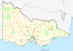
 Great Otway National Park
Nearest town/city Apollo Bay Coordinates 38°46′24″S 143°33′27″E / 38.77333°S 143.5575°E Area 103 km² Established 1981 Managing authorities Parks Victoria Official site Great Otway National Park  Koala in Great Otway National Park
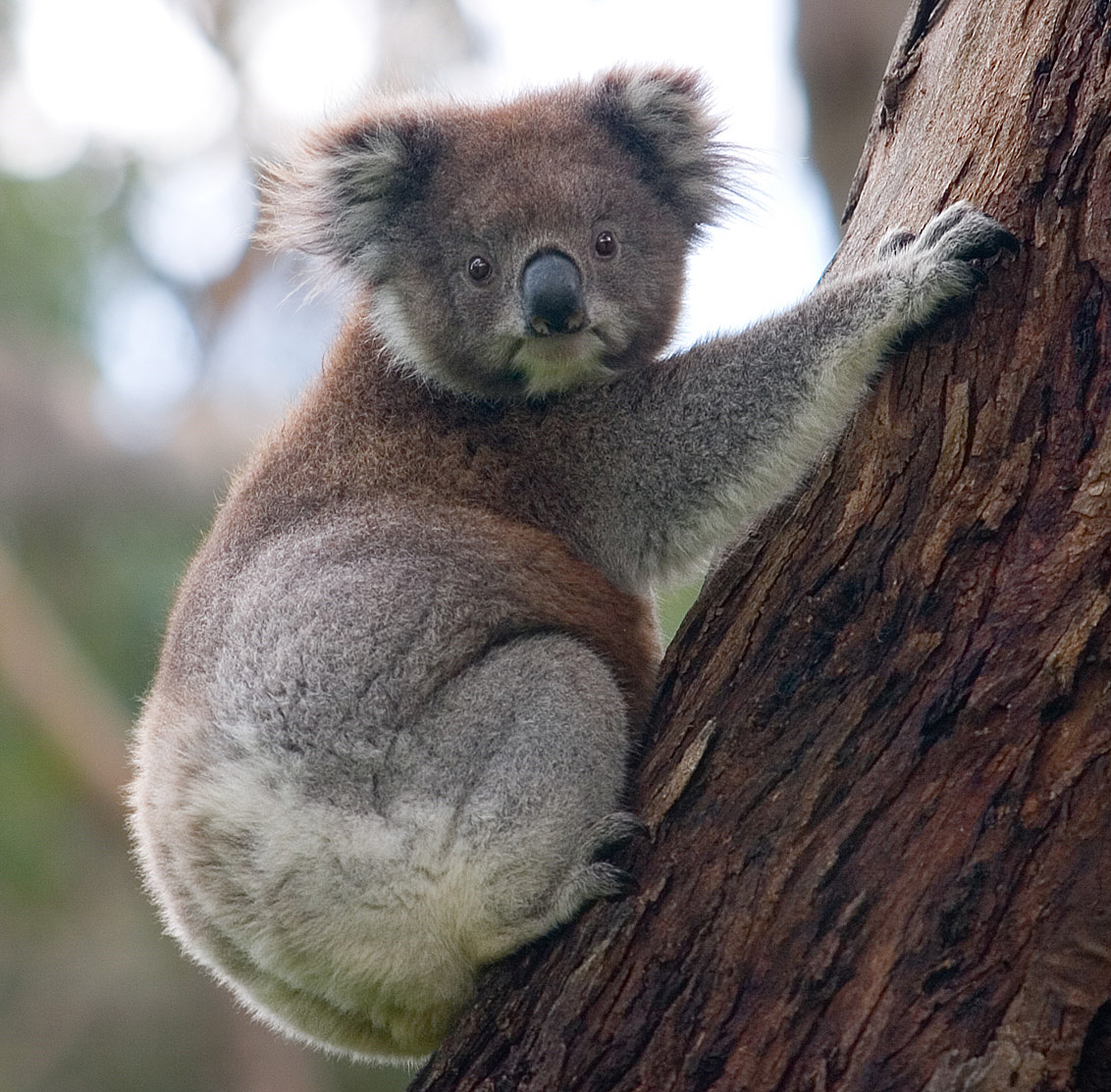
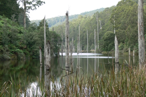
 Lake Elizabeth, formed from a landslide in August 1953, it broke its banks allowing the West Barwon River to flow.
The Great Otway National Park is a national park in Victoria (Australia), 162 km southwest of Melbourne. It contains a diverse range of landscapes and vegetation types.
 Great Otway National Park
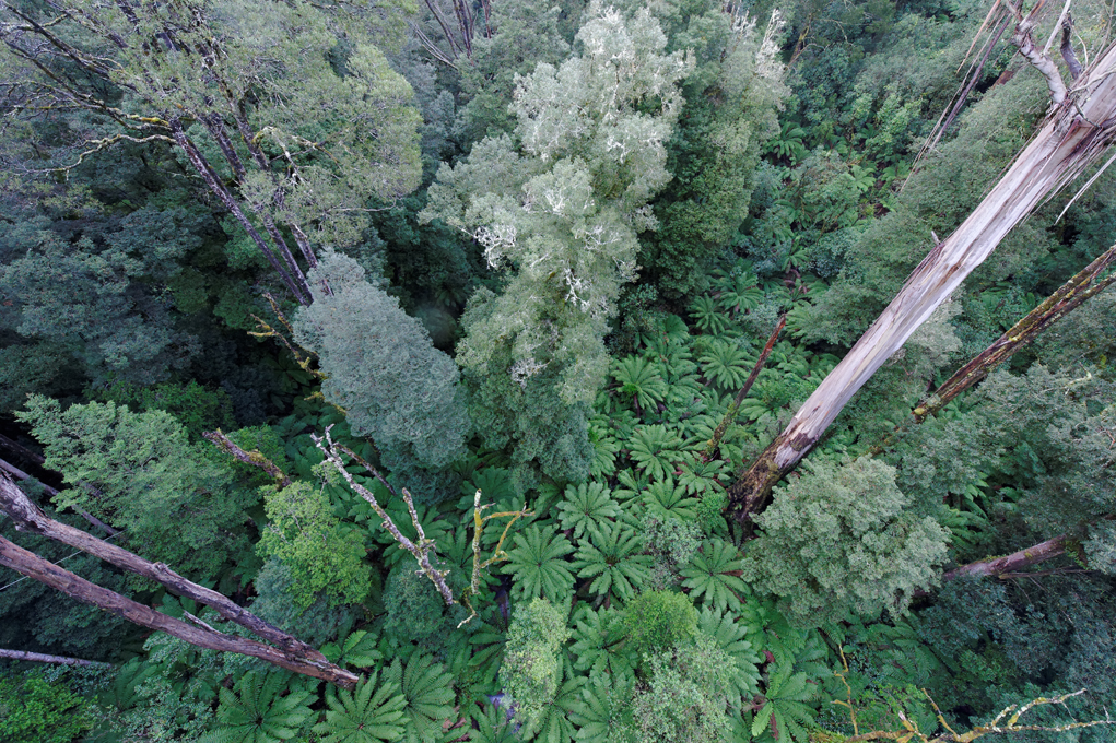
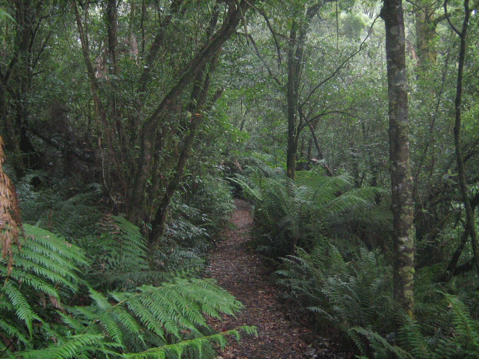
 Temperate rainforest in Great Otway National Park
Contents
History
The 103 km² park was declared in 2004 when Otway National Park, Angahook-Lorne State Park, Carlisle State Park, Melba Gully State Park, areas of the Otway State Forest and a number of Crown Land reserves were combined into one park,[1] after a successful campaign by the local community, led by the Otway Ranges Environment Network.
Park
The park is a popular area for interstate and international tourists, with companies operating tours in the region. It contains three camping areas at Johanna, Aire River and Blanket Bay. The park is accessed from the east via Apollo Bay, from the north via Forrest or Beech Forest, or from the west via Princetown.[1] The park covers both coastline and hinterland in the Otway Ranges and so includes both beaches and forest, accessible via walking trails.[1] The Cape Otway Lighthouse is adjacent to the park and is open to tourists throughout the week.[1] The park and the Aire River campground are home to a significant koala population.[1]
Important Bird Area
The park has been identified by BirdLife International as an Important Bird Area (IBA) because it supports populations of Rufous Bristlebirds, Striated Fieldwrens and Pink Robins, as well as numerous other species.[2]
See also
- Protected areas of Victoria (Australia)
- Great Ocean Walk
- Triplet Falls
Notes
- ^ a b c d e Parks Victoria - Great Otway National Park
- ^ "IBA: Otway Range". Birdata. Birds Australia. http://www.birdata.com.au/iba.vm. Retrieved 2011-09-12.
External links
National Parks of Victoria Alfred · Alpine · Barmah · Baw Baw · Brisbane Ranges · Burrowa-Pine Mountain · Chiltern-Mount Pilot · Churchill · Cobboboonee · Coopracambra · Croajingolong · Dandenong Ranges · Errinundra · French Island · Grampians · Great Otway · Greater Bendigo · Gunbower · Hattah-Kulkyne · Heathcote-Graytown · Kinglake · Lake Eildon · Lind · Little Desert · Lower Glenelg · Lower Goulburn · Mitchell River · Mornington Peninsula · Morwell · Mount Buffalo · Mount Eccles · Mount Richmond · Murray-Sunset · Organ Pipes · Point Nepean · Port Campbell · St Arnaud Range · Snowy River · Tarra-Bulga · Terrick Terrick · The Lakes · Warby-Ovens · Wilsons Promontory · Wyperfeld · Yarra RangesVisitor attractions on the Great Ocean Road Attractions Bay of Islands Coastal Park | Bells Beach | Gibson Steps | Great Otway National Park | The Grotto | Loch Ard Gorge | London Arch | Port Campbell National Park | The Twelve ApostlesTowns Aireys Inlet | Anglesea | Apollo Bay | Bellbrae | Jan Juc | Lavers Hill | Lorne | Peterborough | Port Campbell | Princetown | Torquay | Warrnambool | Wye RiverCategories:- IUCN Category II
- National parks of Victoria (Australia)
- Protected areas established in 1981
- Otway Ranges
- Forests of Victoria (Australia)
- 1981 establishments in Australia
- Important Bird Areas of Australia
- Victoria (Australia) geography stubs
- Australian protected area stubs

Wikimedia Foundation. 2010.