- Murray-Sunset National Park
-
Murray-Sunset National Park

Nearest town/city Mildura Coordinates 34°46′06″S 141°51′15″E / 34.76833°S 141.85417°E Area 6330 km² Established 1991 Managing authorities Parks Victoria Official site Murray-Sunset National Park Murray-Sunset is the second largest national park in Victoria, Australia, 438 km northwest of Melbourne. It is in the northwestern corner of the state, bordering South Australia to the west and the Murray River to the north. The Sturt Highway passes through the northern part of the park, but most of the park is in the remote area between the Sturt Highway and the Mallee Highway, west of the Calder Highway.
Contents
History
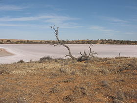
The park was created in 1991, and expanded to encompass Pink Lakes State Park in 1999. The lakes are dubbed "pink" after the beta-carotene pigment that colours it in late summer, caused by the algae Dunaliella salina. This area was the site of a major salt industry from 1916 to 1975. At its peak, ten thousand tons of salt was harvested and railed from Lake Crosbie, Lake Becking and Lake Kenyon to the nearby town of Linga.
Another defunct railway, the Nowingi line, terminates at the remains of a gypsum mine hopper on the Raak Plain. Other historical relics include Shears Quarters and Mopoke Hut, built as grazier accommodation in the 1960s.
Flora and fauna
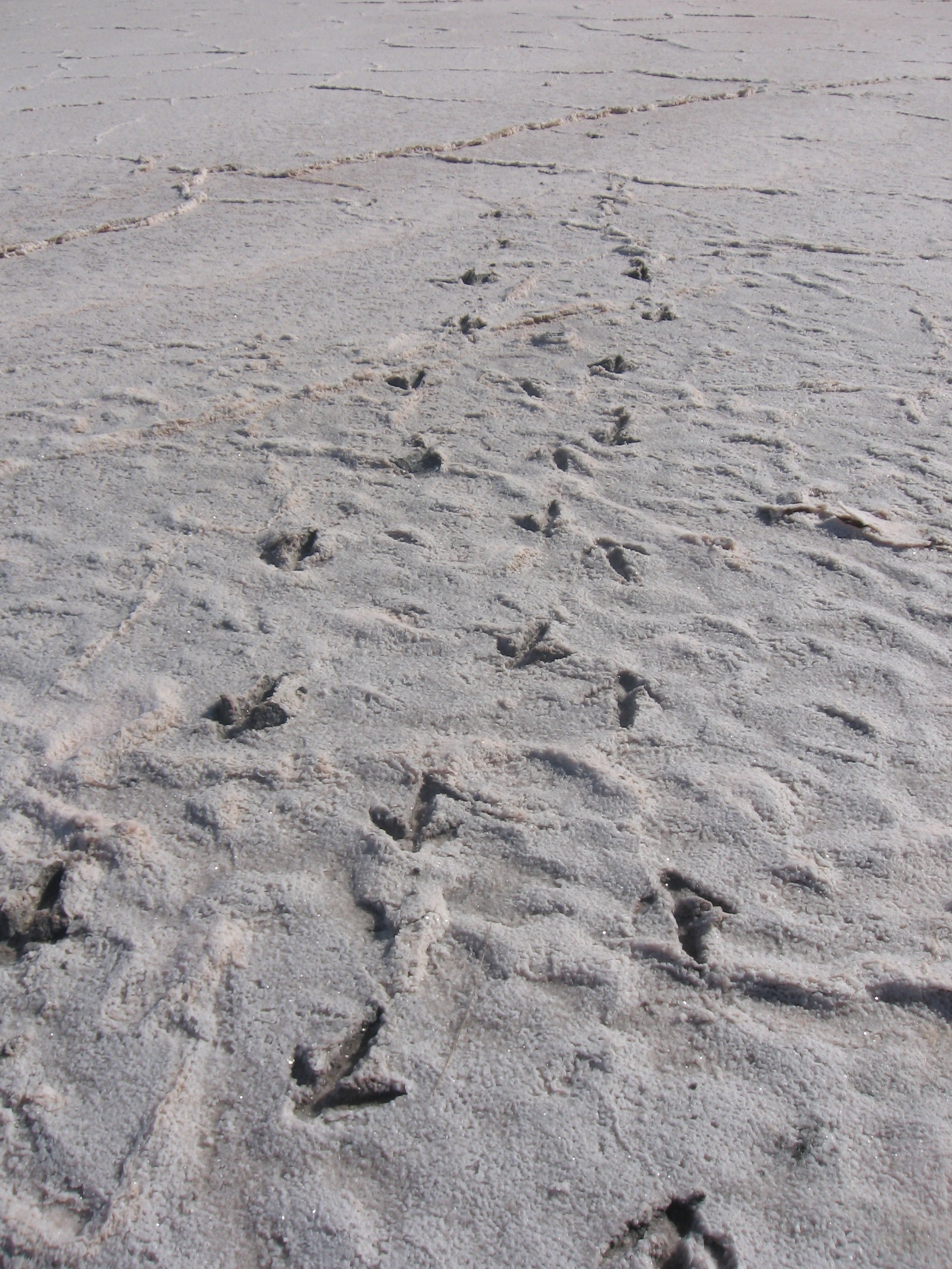
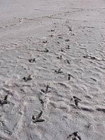 Emu tracks on salt lake in Murray Sunset NP
Over 600 species of plants have been recorded, and 300 species of birds. Notable plants include Murray Lily, Silvery Emu-bush, saltbush, Buloke, porcupine grass, Blue-leaved Mallee and other mallee eucalypts. In spring, wildflowers include spider orchids, Azure Sun Orchids, Desert Heath-myrtles and Poached-egg Daisies.
Emus, Wedge-tailed Eagles, and both Western Grey and Red Kangaroos are present.
Important Bird Area
Most of the park lies within the Murray-Sunset, Hattah and Annuello Important Bird Area (IBA), so identified by BirdLife International because it contains mallee habitat supporting a suite of threatened mallee bird species, including the Malleefowl, Black-eared Miner and Mallee Emu-wren.[1]
Attractions
The park is attractive to bushwalkers as the nearest semi-arid region to Melbourne. Walks include circuits of Lake Crosbie and Lake Kenyon, and the three day Sunset walking track. Groundwater is scarce, and hikers generally rely on water tanks maintained by rangers.
The Pink Lakes are medium sized salt lakes. In late summer a red pigment, carotene, is secreted from the alga Dunaliella salina and gives a distinct pink colour to the lakes.
See also
- Protected areas of Victoria (Australia)
References
- ^ "IBA: Murray-Sunset, Hattah and Annuello". Birdata. Birds Australia. http://www.birdata.com.au/iba.vm. Retrieved 2011-08-25.
- Take a walk in Victoria's national parks, John and Lyn Daly, 2005.
- Victoria's Deserts 4WD Map, Meridian Publications, 2003.
National Parks of Victoria Alfred · Alpine · Barmah · Baw Baw · Brisbane Ranges · Burrowa-Pine Mountain · Chiltern-Mount Pilot · Churchill · Cobboboonee · Coopracambra · Croajingolong · Dandenong Ranges · Errinundra · French Island · Grampians · Great Otway · Greater Bendigo · Gunbower · Hattah-Kulkyne · Heathcote-Graytown · Kinglake · Lake Eildon · Lind · Little Desert · Lower Glenelg · Lower Goulburn · Mitchell River · Mornington Peninsula · Morwell · Mount Buffalo · Mount Eccles · Mount Richmond · Murray-Sunset · Organ Pipes · Point Nepean · Port Campbell · St Arnaud Range · Snowy River · Tarra-Bulga · Terrick Terrick · The Lakes · Warby-Ovens · Wilsons Promontory · Wyperfeld · Yarra RangesCategories:- IUCN Category II
- National parks of Victoria (Australia)
- Mallee (Victoria)
- Protected areas established in 1991
- 1991 establishments in Australia
- Important Bird Areas of Australia


Wikimedia Foundation. 2010.