- Coopracambra National Park
-
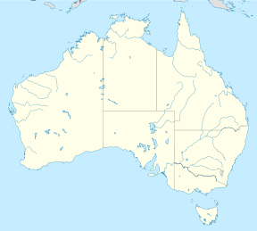
Coopracambra National Park IUCN Category II (National Park)Nearest town/city Cann River Coordinates 37°18′41″S 149°13′13″E / 37.31139°S 149.22028°E Area 350 km² Established 1988 Managing authorities Parks Victoria Official site Coopracambra National Park Coopracambra is a national park in eastern Victoria, Australia, 380 kilometres east of Melbourne.
See also
- Protected areas of Victoria (Australia)
National Parks of Victoria Alfred · Alpine · Barmah · Baw Baw · Brisbane Ranges · Burrowa-Pine Mountain · Chiltern-Mount Pilot · Churchill · Cobboboonee · Coopracambra · Croajingolong · Dandenong Ranges · Errinundra · French Island · Grampians · Great Otway · Greater Bendigo · Gunbower · Hattah-Kulkyne · Heathcote-Graytown · Kinglake · Lake Eildon · Lind · Little Desert · Lower Glenelg · Lower Goulburn · Mitchell River · Mornington Peninsula · Morwell · Mount Buffalo · Mount Eccles · Mount Richmond · Murray-Sunset · Organ Pipes · Point Nepean · Port Campbell · St Arnaud Range · Snowy River · Tarra-Bulga · Terrick Terrick · The Lakes · Warby-Ovens · Wilsons Promontory · Wyperfeld · Yarra RangesCategories:- IUCN Category II
- National parks of Victoria (Australia)
- Protected areas established in 1988
- 1988 establishments in Australia
- Victoria (Australia) geography stubs
- Australian protected area stubs
Wikimedia Foundation. 2010.

