- Mornington Peninsula National Park
-
Mornington Peninsula National Park
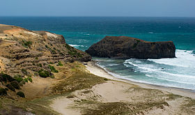

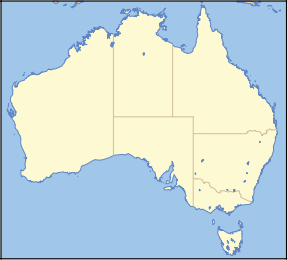
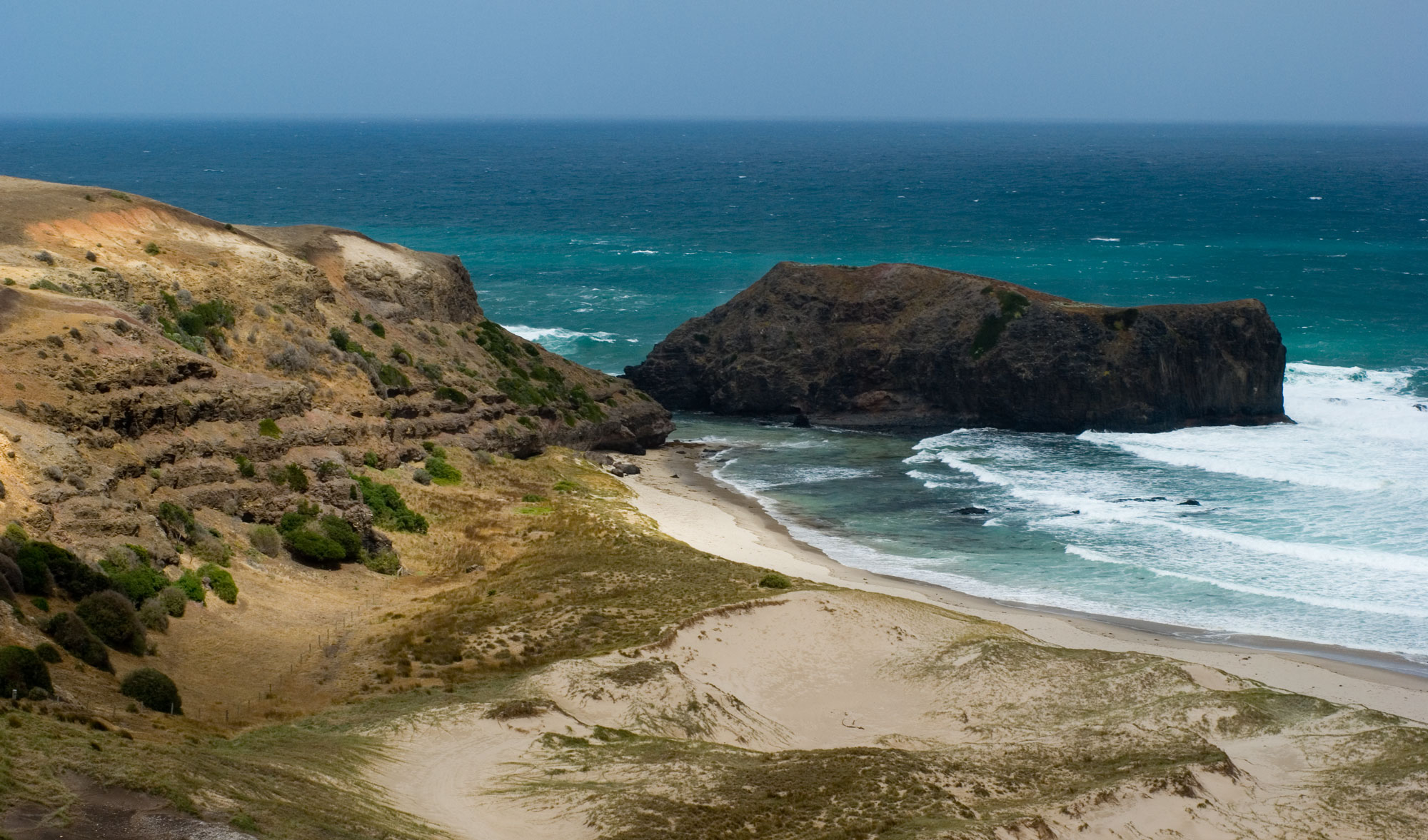
Nearest town/city Melbourne Coordinates 38°30′08″S 144°53′18″E / 38.50222°S 144.88833°E Area 26.86 km² Established 1988 Managing authorities Parks Victoria Official site Mornington Peninsula National Park Mornington Peninsula is a national park in Victoria (Australia), 77 km south of Melbourne on the Mornington Peninsula. It is one of Victoria's most popular and most loved parks, protecting lots of the area's natural attractions and providing an important habitat for many forms of wildlife.
See also
- Protected areas of Victoria (Australia)
National Parks of Victoria Alfred · Alpine · Barmah · Baw Baw · Brisbane Ranges · Burrowa-Pine Mountain · Chiltern-Mount Pilot · Churchill · Cobboboonee · Coopracambra · Croajingolong · Dandenong Ranges · Errinundra · French Island · Grampians · Great Otway · Greater Bendigo · Gunbower · Hattah-Kulkyne · Heathcote-Graytown · Kinglake · Lake Eildon · Lind · Little Desert · Lower Glenelg · Lower Goulburn · Mitchell River · Mornington Peninsula · Morwell · Mount Buffalo · Mount Eccles · Mount Richmond · Murray-Sunset · Organ Pipes · Point Nepean · Port Campbell · St Arnaud Range · Snowy River · Tarra-Bulga · Terrick Terrick · The Lakes · Warby-Ovens · Wilsons Promontory · Wyperfeld · Yarra RangesCategories:- IUCN Category II
- Mornington Peninsula
- National parks of Victoria (Australia)
- Biosphere reserves of Australia
- Protected areas established in 1988
- 1988 establishments in Australia
- Victoria (Australia) geography stubs
- Australian protected area stubs

Wikimedia Foundation. 2010.