- Aireys Inlet, Victoria
Infobox Australian Place | type = town
name = Aireys Inlet
state = vic
caption = The main bus stop in Aireys Inlet
lga = Surf Coast Shire
postcode = 3231
est =
pop = 1,148 (2006 census)
elevation= 95
maxtemp = 18.0
mintemp = 10.5
rainfall =
stategov = Polwarth
fedgov = Corangamite
dist1 = 119
dir1 =
location1= Melbourne
dist2 = 46
dir2 =
location2= Geelong
dist3 = 28
dir3 =
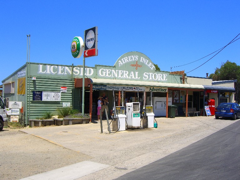
location3= TorquayAireys Inlet is a small coastal
inlet and town located on theGreat Ocean Road , southwest ofMelbourne , Victoria,Australia . Aireys Inlet is located between Anglesea and Lorne, and joined with Fairhaven to the west. At the 2006 census, Aireys Inlet had a population of 1,148.Census 2006 AUS|id=UCL200200|name=Aireys Inlet-Fairhaven (Urban Centre/Locality)|accessdate=2007-12-19|quick=on]Many surfers holiday in Aireys Inlet to take advantage of the popular Fairhaven beach. As the inclination of the beach can change dramatically between years, the surf is regarded as unpredictable. Swimmers should take note there is a strong
rip current .Painkalac Creek, which separates Aireys Inlet from Fairhaven, forms a salt lake or inlet behind the
sand dune s before it cuts through to the ocean. Due to low water levels in the inlet it is not often that the inlet breaks through.There is also a horseshoe-shaped reef at Step Beach which forms an excellent swimming hole at low tide. The towns main attraction, the
Split Point Lighthouse overlooks the inlet. The lighthouse has made Aireys Inlet an icon along theGreat Ocean Road .History
In the early 19th century, before European settlement, the escaped convict William Buckley lived here in a primitive hut eating fish, shellfish, wild raspberries and sugar ants. Aireys Inlet was known to the Aboriginals of the time as "Managwhawz". The town takes its current name from J. M. C. Airey, who settled in the area in 1842. [Kennedy, B: "Australian Place Names", page 2. ABC Books, 2006]
Wikimedia Foundation. 2010.