- Dadeland North (Metrorail station)
-
Dadeland North
Metrorail metro station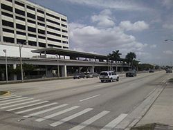
Station statistics Address 8300 South Dixie Highway
Miami, FloridaCoordinates 25°41′30″N 80°18′18″W / 25.69167°N 80.305°WCoordinates: 25°41′30″N 80°18′18″W / 25.69167°N 80.305°W Lines Connections  Metrobus
South Miami-Dade Busway (BRT)Platforms 1 island platform Tracks 2 Parking Garage (1975 spaces) Other information Opened May 20, 1984 Accessible 
Code DLN Owned by Miami-Dade County Traffic Passengers (2010) 1.7 million[1]  6%
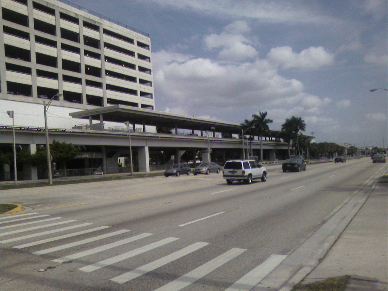
6%Services Preceding station Metrorail Following station toward PalmettoGreen Line Terminustoward AirportOrange Line (2012) Dadeland North is a Metrorail station in Miami, Florida in the suburb of Kendall.
This station is located at the intersection of South Dixie Highway (US 1) and Southwest 83rd Street on the Snapper Creek, near the Snapper Creek Expressway (SR 878). It opened to service May 20, 1984.
Contents
Places of interest
Transit connections
Metrobus
Route # Route Name Route Map Note 52 Goulds at South Miami-Dade Health Center via Busway Map Southbound only 87 Palmetto station via Galloway Road (West 87 Ave) Map Weekend terminus in Doral at Galloway and NW 53 St 88 Kendale Lakes or Kendall Drive (South 88 St) at West 157 Ave via Kendall Drive Map 104 Kendall Drive at SW 157 Ave via Killian (SR 990) Map Weekend terminus at Kendall Drive and SW 167 Ave 204 Killian KAT (SW 167 Ave at Kendall Drive via Killian and SW 167 Ave) Map Weekday rush hour only 272 Sunset KAT (SW 167 Ave at Kendall Drive via Sunset Drive) Map Weekday rush hour only 288 Kendall Cruiser (SW 157 Ave at Kendall Drive via Kendall Drive) Map Weekday rush hour only; limited-stop 500 Government Center Downtown Bus Terminal ↔ Dadeland South station Map Overnight service only; bus stop at US 1 References
External links
Categories:- Miami Metrorail stations
- Railway stations opened in 1984
Wikimedia Foundation. 2010.