- Mount Field (New Hampshire)
-
Mount Field 
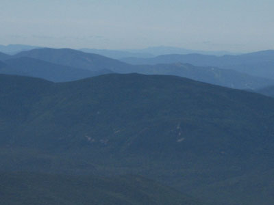
Mt. Field as seen from below the summit of Mt. JeffersonElevation 1,320 m (4,331 ft) [1] Prominence 520 m (1,706 ft) Listing White Mountain 4000-Footers Location Location Grafton County, New Hampshire, USA Range Willey Range Coordinates 44°11.77′N 71°26.00′W / 44.19617°N 71.433°WCoordinates: 44°11.77′N 71°26.00′W / 44.19617°N 71.433°W Topo map USGS Crawford Notch (NH) Mount Field is a mountain located in Grafton County, New Hampshire. The mountain is named after Darby Field (1610–1649), who in 1642 made the first known ascent of Mount Washington. Mount Field is the highest peak of the Willey Range of the White Mountains. Mt. Field is flanked to the northwest by Mount Tom, and to the southwest by Mount Willey.
Mt. Field stands on the borders of three watersheds. On its northeast side, it drains into the Saco River, and thence into the Gulf of Maine in Maine. On the south side, it drains into the North Fork Pemigewasset River, and thence into the East Branch, Pemigewasset River, and Merrimack River, which reaches the sea in Massachusetts. On the west side, Field drains into the Zealand River, and thence into the Ammonoosuc River, Connecticut River, and into Long Island Sound in Connecticut.
See also
Notes
- ^ Summit elevation between 4,320 and 4,360 ft.
External links
- U.S. Geological Survey Geographic Names Information System: Mount Field
- PeakBagger.com: Mount Field
- Summitpost.org: Mount Field
- AMC: Mount Field
- hikethewhites.com: Mt Field
- Mt. Field - FranklinSites.com Hiking Guide
4000-foot mountains of New England Baxter State Park High Peaks Abraham · Crocker · Redington · Saddleback · Saddleback, The Horn · South Crocker · Spaulding · SugarloafBigelow Range Eastern White Mountains Northern ranges Carter-Moriah Range Presidential Range Crawford Notch area Twin Range Pemigewasset Wilderness Sandwich Range Osceola · Osceola (East) · Tripyramid (Middle) · Tripyramid (North) · Passaconaway · Tecumseh · WhitefaceFranconia Range Western White Mountains Green Mountains Categories:- Mountains of New Hampshire
- Landforms of Grafton County, New Hampshire
- New England Four-thousand footers
- New Hampshire geography stubs
Wikimedia Foundation. 2010.