- Mount Bigelow (Maine)
-
Mount Bigelow 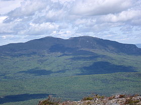
Avery Peak (left), West Peak (right).Elevation 4,145 ft (1,263 m) Prominence 2,845 ft (867 m) Listing New England 4000 footers Location Location Somerset / Franklin counties, Maine, USA Range Appalachian Mountains Coordinates 45°9′N 70°17′W / 45.15°N 70.283°WCoordinates: 45°9′N 70°17′W / 45.15°N 70.283°W Topo map USGS Stratton, The Horns Climbing Easiest route Hiking via the Appalachian Trail. Mount Bigelow (also called the Bigelow Range and Bigelow Mountain) is a long mountain ridge with several summits. It is located in Franklin County and Somerset County, Maine. It is one of Maine's highest summits. The mountain is named after Major Timothy Bigelow who climbed the rugged summit in late October 1775 "for the purpose of observation."[1] Major Bigelow was one of Colonel Benedict Arnold's four division commanders during the 1775 Invasion of Canada. The expeditionary force passed along the Dead River on the northern edge of the Bigelow Range, now dammed into Flagstaff Lake.
The highest summit of Bigelow Mountain is West Peak, at 4,145 feet (1,263 m). Subpeaks include Avery Peak (Myron H. Avery Peak) at 4,088 feet (1,246 m), The Horns at 3,805 feet (1,160 m), Cranberry Peak at 3,194 feet (974 m), and Little Bigelow Mountain at about 3,070 feet (936 m).
Bigelow Mountain is part of the Rangeley-Stratton mountain range, which also includes Sugarloaf Mountain, Crocker Mountain, Saddleback Mountain, Mount Abraham, Mount Redington, and other mountains.
The Appalachian Trail traverses Bigelow Mountain. Much of the mountain and surrounding area is part of the 10,540-acre (42.7 km2) Bigelow Preserve, created in 1976 in response to a massive proposed ski resort.
The Appalachian Mountain Club considers both the West Peak and Avery Peak of Bigelow to be "four-thousand footers" because Avery Peak rises more than 200 feet (61 m) above the col that adjoins it to the higher West Peak. By this same criteria, the South Horn of Bigelow, while under 4,000 feet (1,200 m), qualifies for the New England Hundred Highest list.
Contents
Gallery
-

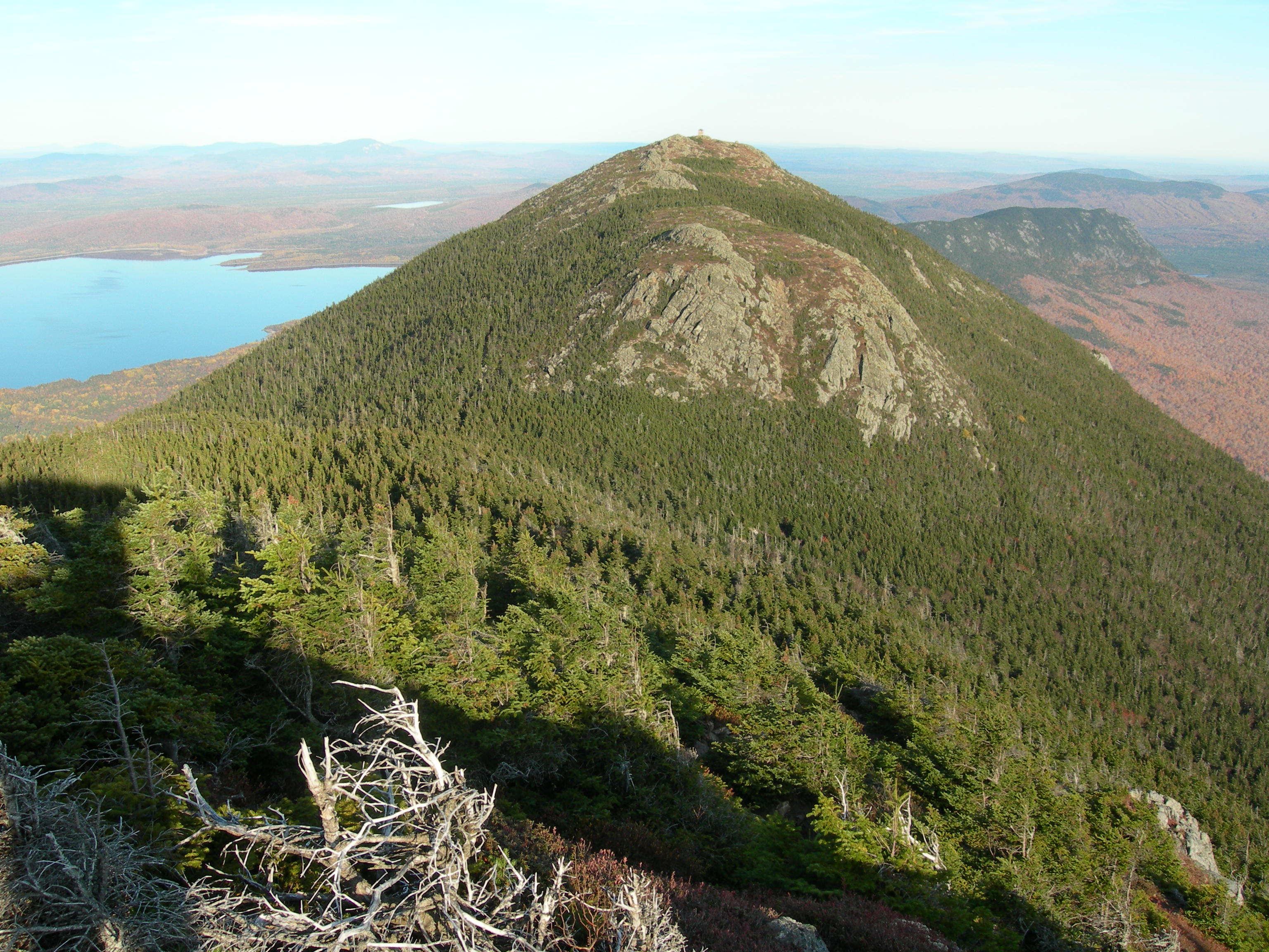
Mount Bigelow, Avery Peak
-
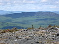
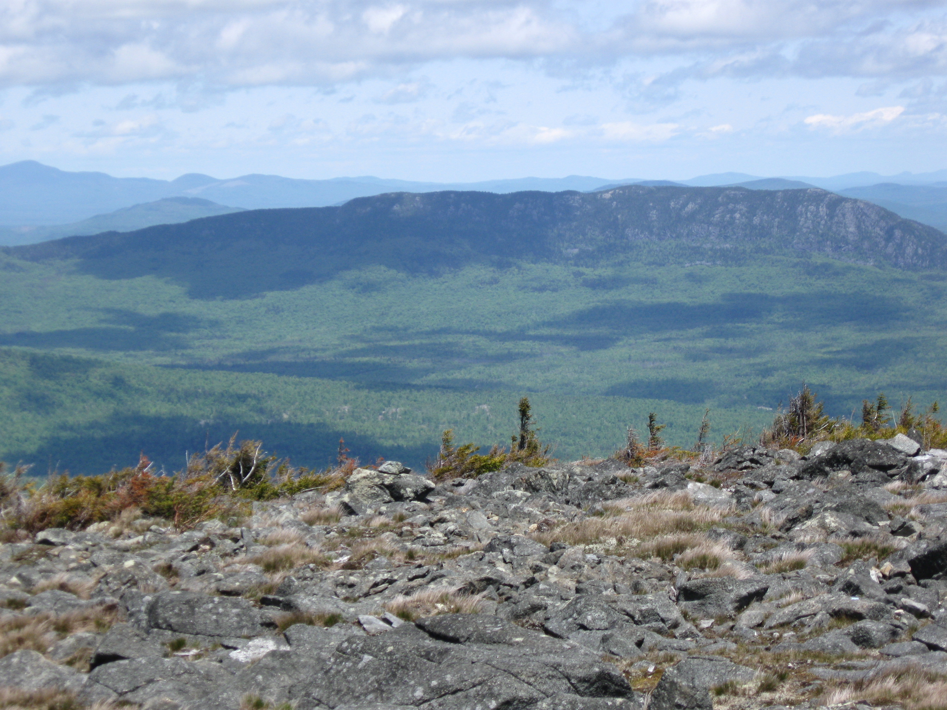
Entire Bigelow Range viewed from the top of Sugarloaf Mountain to the South
-

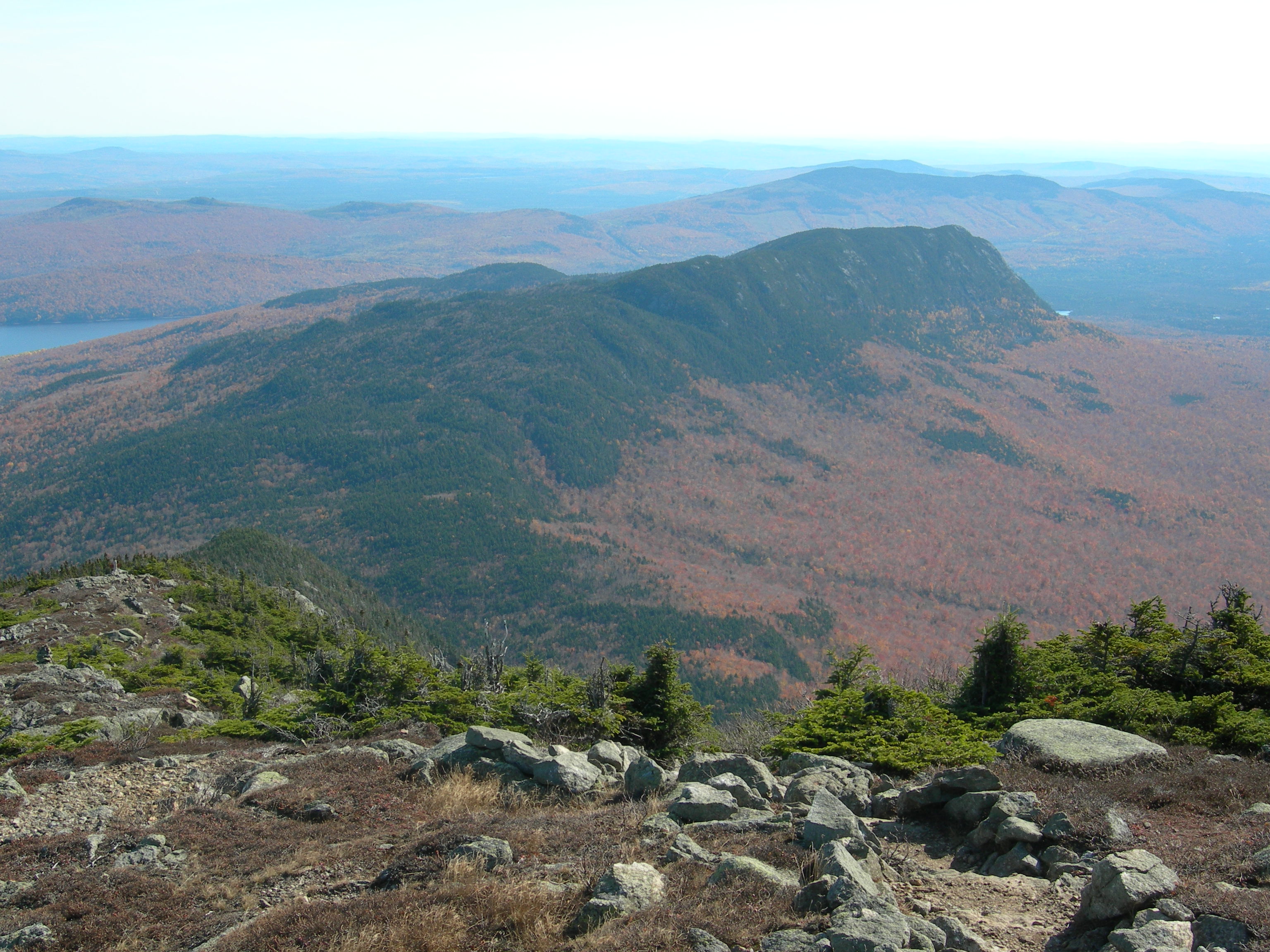
Little Bigelow Mountain
-
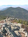
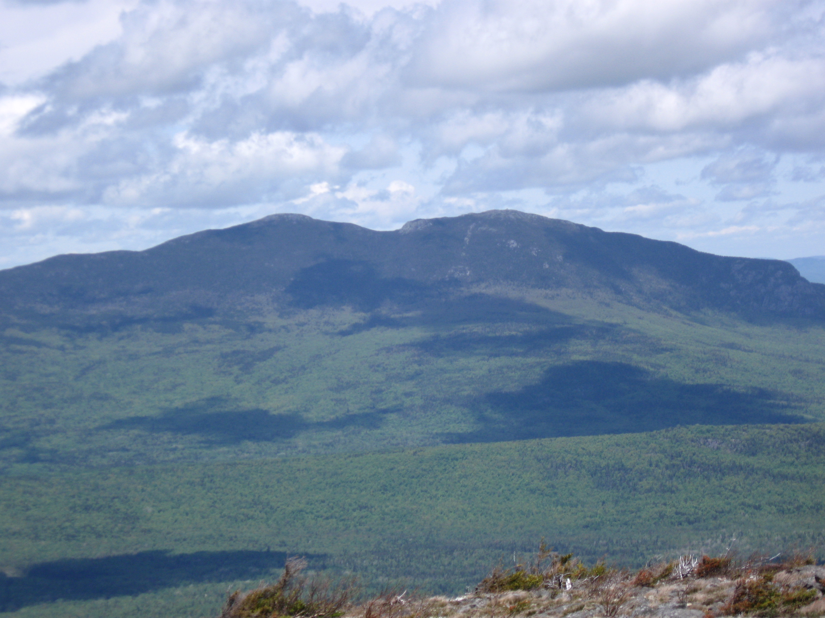
South Horn and North Horn
-
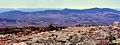
Panorama of the Bigelow Range from Sugarloaf Ski Area Parking Lot
-
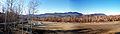
Little Bigelow Mountain as seen from the summit of Burnt Mountain.
See also
References
- ^ Hersey, Charles, Reminiscences of the Military Life and Sufferings of Col. Timothy Bigelow (1860) -- accessed 8 September 2008
External links
- Mount Bigelow, U.S. Geological Survey Geographic Names Information System: Mount Bigelow
- "Bigelow Mountain, Maine". Peakbagger.com. http://www.peakbagger.com/peak.aspx?pid=6850.
- Bigelow Preserve Public Reserved Land
- Bigelow Preserve Natural Area
- Bigelow Mountain Ski Area - New England's Cancelled Ski Areas
4000-foot mountains of New England Baxter State Park High Peaks Abraham · Crocker · Redington · Saddleback · Saddleback, The Horn · South Crocker · Spaulding · SugarloafBigelow Range Bigelow (Avery) · Bigelow (West)Eastern White Mountains Northern ranges Carter-Moriah Range Presidential Range Crawford Notch area Twin Range Pemigewasset Wilderness Sandwich Range Osceola · Osceola (East) · Tripyramid (Middle) · Tripyramid (North) · Passaconaway · Tecumseh · WhitefaceFranconia Range Western White Mountains Green Mountains Categories:- Mountains of Franklin County, Maine
- Mountains of Somerset County, Maine
- Mountains on the Appalachian Trail
- New England Four-thousand footers
-

Wikimedia Foundation. 2010.