- Chapleau Crown Game Preserve
-
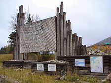
 Entrance sign
The Chapleau Crown Game Preserve is an animal preserve area in Ontario, Canada, north-east of Lake Superior. It is situated in the Algoma and Sudbury Districts. It is officially classified as a Crown Game Preserve by the Government of Ontario Ministry of Natural Resources.[1]
All animals are protected from hunting and trapping in the preserve since its formation in 1925. With a surface area of 7,000 square kilometres (2,700 sq mi), it is the largest game preserve in the world.[2]
The preserve is bound by the Canadian National Railway to the north, the Chapleau River to the east, the Canadian Pacific Railway to the south, and by the Algoma Central Railway to the west. It encompasses Pichogen River Provincial Park and part of Missinaibi Provincial Park, whereas the Chapleau-Nemegosenda River Provincial Park is on its eastern boundary.
Contents
History
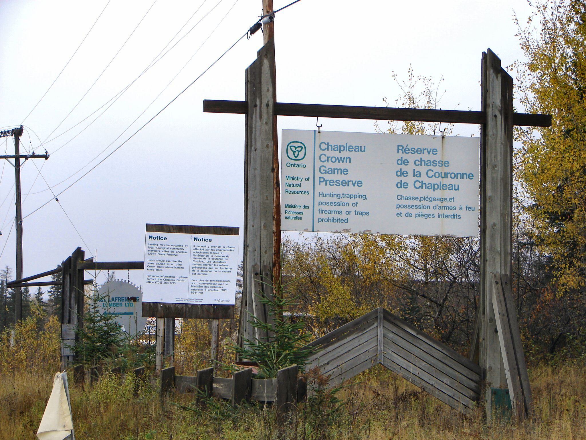
 Welcome sign
Historically the area was inhabited by Ojibwa and Cree people, where they would hunt and fish. Several sites with pictographs still testify to their past presence.
The first Europeans were probably the Coureur des bois, looking for new fur trade territory. In the 17th and 18th century, the French and English traders visited the area. With the Hudson's Bay Company trade monopoly in Rupert's Land, the English established trading posts in Canada's interior, including Brunswick House at Missinaibi Lake. This post operated until 1917 when it was replaced by stops along the newly built railroad.[2]
By the early 20th century, both the Canadian Pacific and Canadian National Railways crossed the area and allowed easier access for prospecting, hunting, and logging. It was not long before the exploitation resulted in a depletion of wildlife. In particular, game and fur-bearing animals were over-hunted alarmingly.[2]
G.B Nicholson and William McLeod (1872–1940), both from Chapleau, Ontario, brought the issue to the attention of the Ontario Government and on May 27, 1925, the Chapleau Crown Game Preserve was established. All hunting and trapping was prohibited within its boundaries.[2]
Wildlife
Wildlife abounds in the preserve, allowing many exceptional viewing opportunities.[2] Animals present in the preserve include:
- Moose
- American Black Bear
- Red Fox
- Canada Lynx
- Timber Wolf
- Marten
- Beaver
- Otter
- Mink
- Ruffed and Spruce Grouse
- Bald Eagle
- Loon
Access
The primary access to the Southeastern porton of the preserve is through the community of Chapleau, from which forest roads provide access to many of the preserve's interior lakes and rivers and Missinaibi Provincial Park.
The Algoma Central Railway Passenger Train provides access to the western portions of the preserve including access to traditional canoe routes that flow to both Lake Superior and Hudson Bay from the height of land that bisects the preserve. One canoe route starts immediately south of the height of land at Wabatongushi Lake which is the headwaters on the Michipicoten River that flows to Lake Superior. The second canoe route starts just north of height of land at Oba Lake which flows into the Oba River, then into the Albany River system to Hudson Bay.
The existing CN and CP railroads continue to provide access to the area for logging operations with several stops in the area, such as:
- Elsas
- Peterbell
- Dalton
- Nicholson
- Akron
References
- ^ "Natural Areas Report: CHAPLEAU CROWN GAME PRESERVE". Government of Ontario Ministry of Natural Resources. http://nhic.mnr.gov.on.ca/MNR/nhic/areas/areas_report.cfm?areaid=3671. Retrieved 2007-08-01.[dead link]
- ^ a b c d e Chapleau Regional Development Corporation, "Welcome to Chapleau - Four Seasons Guide to Northern Adventure", Chapleau, Ontario
Protected areas in Ontario National parks 
Provincial parks Conservation areas Boyd · Claireville · Cold Creek · Guelph Lake · Heber Down · Kortright Centre · Lake Laurentian · Mer Bleue · Mount Nemo · Rattlesnake Point · Spencer Gorge / Webster's Falls · more...UNESCO Biosphere Reserves Georgian Bay Littoral · Long Point · Niagara Escarpment (including Cheltenham Badlands) · Thousand Islands - Frontenac Arch · Wasaga BeachNational Historic Sites of Canada Central Experimental Farm · Dundurn Castle · Laurier House · Massey Hall · Montgomery's Tavern · Osgoode Hall · Parliament · Rideau Canal · Rideau Hall · more...Other areas Categories:- Conservation areas in Ontario
- Parks in Algoma District, Ontario
- Parks in Sudbury District, Ontario
- Protected areas established in 1925


Wikimedia Foundation. 2010.