- St. Lawrence Islands National Park
Infobox_protected_area | name = St. Lawrence Islands National Park
iucn_category = II
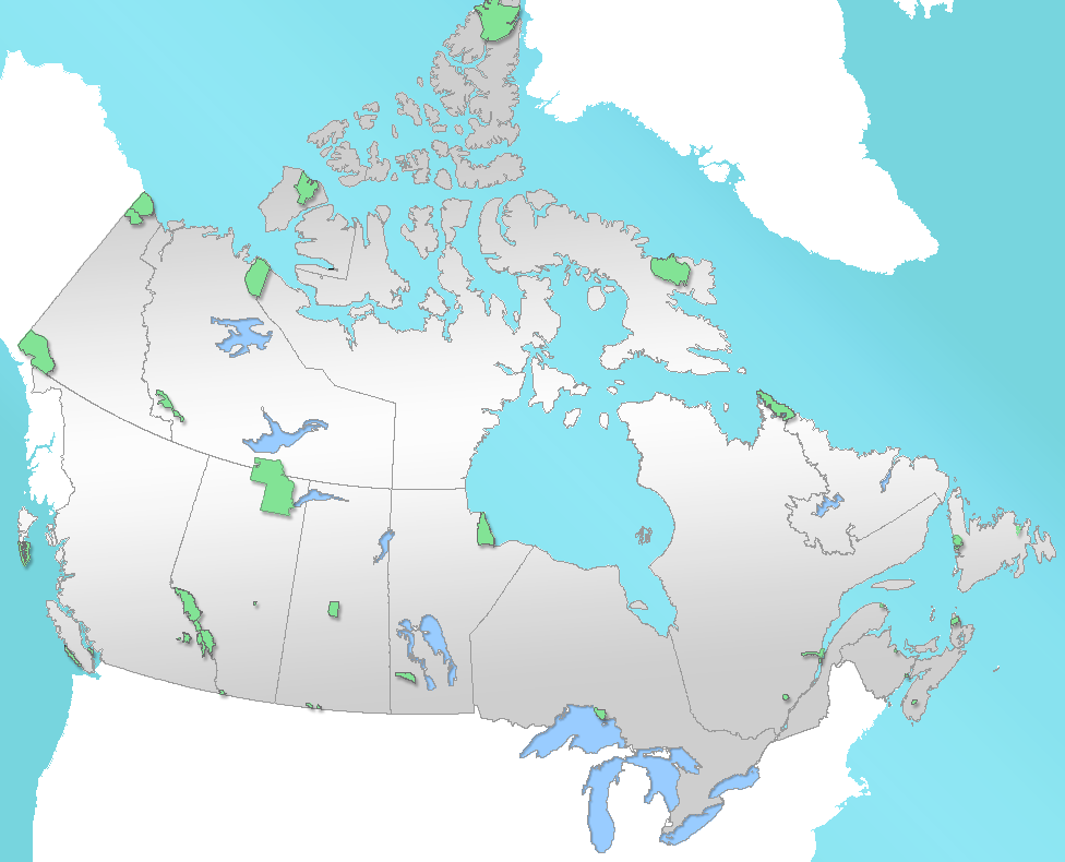
caption = Location of "St. Lawrence Islands National Park" inCanada
locator_x = 201
locator_y = 201
location =Canada
nearest_city =Brockville, Ontario
lat_degrees = 44
lat_minutes = 24
lat_seconds = 52
lat_direction = N
long_degrees = 75
long_minutes = 52
long_seconds = 23
long_direction = W
area = 9 km²
established = 1914
visitation_num =
visitation_year =
governing_body =Parks Canada St. Lawrence Islands National Park (established 1904) is located in the
Thousand Islands Region of theSaint Lawrence River . The islands are actually the worn-down tops of ancient mountains. This region, the Frontenac Axis, connects theCanadian Shield to theAdirondack Mountains inNew York .The park consists of 21 islands plus many smaller islets and a visitor centre at
Mallorytown, Ontario on the mainland. This isCanada 's smallest national park with a total area of 9 km².Much of the park is only accessible by boat. There are
picnic facilities and limitedcamping facilities on several islands.History
The first inhabitants of the park were Aboriginals who began fishing and hunting in the area around the end of the last glacial period approximately 10,000 years ago. Many artifacts have been found in the park, including a 2500 year old pot that was found by a diver in 1979. Pictographs are still visible on some shoreline cliffs despite damage due to acid rain and vandals.
By the early 17th century, the
Iroquois people had up large summer encampments on the riverbanks from which they fished the rich waters. Around this time they began to be visited by French explorers,fur traders , and missionaries following the St Lawrence river to seek their fortune in the new world. Following theAmerican Revolution at the end of the 18th century, European settlers began moving into the area and the traditional fishing encampments were displaced. A few Iroquois still returned to fish, but by the 1860s fish stocks were greatly depleted.During the
war of 1812 , the St Lawrence Islands National Park area was visited by both British and American warships. The preserved hull of a British Gunboat was sunk nearby and, raised in 1967, it now resides at the park. Martello towers were built in the area to defend the British from American invasion. Inside the park, Cedar Island, a small island visible from downtownKingston, Ontario , is the site of a Martello tower namedCathcart Tower .ee also
*
National Parks of Canada
*List of National Parks of Canada
*List of Ontario parks External links
* [http://www.pc.gc.ca/pn-np/on/lawren/index_E.asp Official Site]
Wikimedia Foundation. 2010.