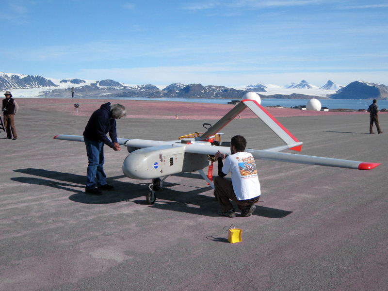
- Ny-Ålesund Airport, Hamnerabben
-
Ny-Ålesund Airport, Hamnerabben
Ny-Ålesund lufthavn, Hamnerabben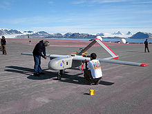
Scientific test flight IATA: none – ICAO: ENAS Summary Airport type Private Operator Kings Bay AS Location Ny-Ålesund Elevation AMSL 50 ft / 15 m Coordinates 78°55′39″N 11°52′27″E / 78.9275°N 11.87417°ECoordinates: 78°55′39″N 11°52′27″E / 78.9275°N 11.87417°E Runways Direction Length Surface ft m 12 / 30 3,040 927 Asphalt Ny-Ålesund Airport (ICAO: ENAS) (Norwegian: Ny-Ålesund lufthavn, Hamnerabben (Broggerhalvoya)) or Hamnerabben Airfield is an airport serving the former mining community of Ny-Ålesund in the territory of Svalbard. Flights are offered two to three days a week to Svalbard Airport, Longyear by Lufttransport with Dornier 228 aircraft. The airport is operated by the former mining company Kings Bay AS, owned by the Norwegian government. The flights are not regular public flights, but are considered charter flights. Passengers must have permission by the Kings Bay, which is not usually done for tourists.
History
Ny-Ålesund was originally a mining community, but in 1962 the mine was closed. From then on Ny-Ålesund became a major research facility in arctic science, with the support infrastructure, including the airport, was operated by the coal company, who changed their name to Kings Bay AS in 1998. The airport serves research staff in Ny-Ålesund. Lufttransport started their services on Svalbard in 1978.
Airlines and destinations
Airlines Destinations Lufttransport Longyearbyen [charter; permission needed] External links
Airports in Norway Primary Regional Andenes · Båtsfjord · Berlevåg · Brønnøysund · Fagernes · Florø · Førde · Hammerfest · Hasvik · Honningsvåg · Leknes · Mehamn · Mo i Rana · Mosjøen · Namsos · Narvik · Ørsta/Volda · Røros · Rørvik · Røst · Sandane · Sandnessjøen · Sogndal · Sørkjosen · Stokmarknes · Svolvær · Vadsø · Vardø · Værøy
Territories Private Air Force Closed Farsund · Oslo-Fornebu · Oslo-Gressholmen · Stavanger-Forus · Trondheim-Lade · Værøy
Related Airports in Norway · Avinor · Busiest airports in Europe · Busiest airports in the Nordic countries
Svalbard General Politics Settlements Former settlements Bölscheøya · Grumant · Kobbefjorden · Lægerneset · Pyramiden · Smeerenburg · Virgohamna · Ytre NorskøyaEnvironment Islands Barentsøya · Bjørnøya · Edgeøya · Hopen · Kong Karls Land · Kvitøya · Nordaustlandet · Prins Karls Forland · Sjuøyane · Spitsbergen · Tusenøyane · WilhelmøyaLand areas Albert I Land · Andrée Land · Bünsow Land · Dickson Land · Haakon VII Land · Heer Land · James I Land · Nathorst Land · Nordenskiöld Land · Ny-Friesland · Olav V Land · Oscar II Land · Sabine Land · Sørkapp Land · Torell Land · Wedel Jarlsberg LandNational parks Forlandet National Park · Indre Wijdefjorden · Nordenskiöld Land · Nordre Isfjorden Land · Northwest Spitsbergen · Sassen – Bünsow Land · Sør-SpitsbergenCompanies Research Arctic Yellow River Station · Norwegian Polar Institute · Polish Polar Station · Seed Vault · Undersea Cable · University Centre · Himadri StationTransport Categories:- Airports in Svalbard
Wikimedia Foundation. 2010.