- List of secondary highways in Rainy River District
-
This is a list of secondary highways in Rainy River District, most of which serve isolated and sparsely populated areas in the Rainy River District of northwestern Ontario.
Contents
Highway 502
Further information: Ontario Highway 502Highway 600
Highway 600
Route information Length: 86.9 km[1] (54.0 mi) Major junctions West end:  Highway 11
Highway 617
Highway 619
Highway 621East end:  Highway 71
Location Counties: District of Rainy River Towns: Rainy River Highway system Provincial Highway 600 is a secondary highway in the Canadian province of Ontario. Its total length is approximately 86.9 km. Its western terminus is Highway 11 in Rainy River, and its eastern terminus is at Highway 71. It is also one of only a few Ontario highways that are still gravel.
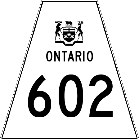
Highway 602
Highway 602
Route information Length: 46.8 km[1] (29.1 mi) Major junctions West end: Highway 11, Highway 71Highway 613
Highway 611East end: Highway 11, Highway 71Location Counties: District of Rainy River Towns: Emo, Fort Frances Highway system Highway 602 is a secondary highway in the Canadian province of Ontario. Its total length is approximately 46.8 km. Its western terminus is Highway 11 in Emo, and its eastern terminus is at Highway 71 in Fort Frances.
Highway 611
Highway 613
Highway 613
Route information Length: 39.4 km[1] (24.5 mi) Major junctions South end: Highway 602 Highway 11North end: Near Hope Lake Location Counties: Rainy River District Towns: Big York, Devlin, Burriss, and Government Landing Highway system Provincial Highway 613 is a secondary highway in the Canadian province of Ontario. Its total length is approximately 39.4 km. Its northern terminus is near Hope Lake and the Northwest Bay First Nation Reserve, and its southern terminus is at Highway 602.
Highway 615
Highway 617
Highway 619
Highway 621
Highway 622
Further information: Ontario Highway 622Highway 623
Highway 633
References
- ^ a b c Ministry of Transportation of Ontario (2007). "Annual Average Daily Traffic (AADT) counts". http://www.raqsb.mto.gov.on.ca/techpubs/TrafficVolumes.nsf/tvweb?OpenForm&Seq=5. Retrieved July 7, 2011.
Secondary highways of Ontario Secondary Highways 502 · 510 · 516 · 518 · 519 · 520 · 522 · 522B · 523 · 524 · 525 · 526 · 527 · 528 · 528A · 529 · 529A · 531 · 532 · 533 · 534 · 535 · 537 · 538 · 539 · 539A · 540 · 540A · 540B · 542 · 542A · 546 · 547 · 548 · 550 · 551 · 552 · 553 · 554 · 556 · 557 · 558 · 559 · 560 · 560A · 562 · 563 · 564 · 565 · 566 · 567 · 568 · 569 · 570 · 571 · 572 · 573 · 574 · 575 · 577 · 579 · 580 · 581 · 582 · 583 · 584 · 585 · 586 · 587 · 588 · 589 · 590 · 591 · 592 · 593 · 594 · 595 · 596 · 597 · 599 · 600 · 601 · 602 · 603 · 604 · 605 · 607 · 607A · 608 · 609 · 611 · 612 · 613 · 614 · 615 · 617 · 618 · 619 · 621 · 622 · 623 · 624 · 625 · 626 · 627 · 628 · 630 · 631 · 632 · 633 · 634 · 636 · 637 · 638 · 639 · 640 · 641 · 642 · 643 · 644 · 645 · 646 · 647 · 650 · 651 · 652 · 654 · 655 · 656 · 657 · 658 · 661 · 663 · 664 · 665 · 667 · 668 · 670 · 671 · 672 · 673
By district Algoma · Cochrane · Kenora · Manitoulin · Nipissing · Parry Sound · Sudbury · Thunder Bay · TimiskamingSee also County roads · Former highways · Historic Colonization Roads · List of Ontario provincial highways · Ministry of Transportation · Northern Ontario Resource Trail · Numbered highways in Canada · Tourist Routes · Trans-Canada HighwayCounty roads in Ontario · Ontario numbered highways · Expressways and 400-series highways · King's Highways · Secondary highways · Tertiary and 7000-series highways · List of Ontario provincial highways · List of former provincial highways in Ontario · Highways in Ontario · List of Ontario expressways · Trans-Canada Highway · Connecting Link · Emergency Detour RouteCategories:- Ontario secondary highways
- Roads in Rainy River District, Ontario


Wikimedia Foundation. 2010.