- Ontario Highway 638
-
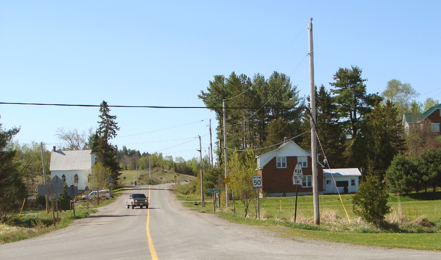
 Highway 638 in Rydal Bank
Highway 638
Route information Length: 52.1 km[1] (32.4 mi) Major junctions Northwest end: Highway 17B in Echo Bay  Highway 17 in Echo Bay
 Highway 670 at Ophir
Southeast end: Highway 17 in Bruce MinesLocation Major cities: Echo Bay, Bruce Mines Highway system Ontario provincial highways
400-series • Former←  Hwy 637
Hwy 639  →
→Secondary Highway 638, commonly referred to as Highway 638, is a secondary highway located in the District of Algoma in Ontario. The highway measures 52.1 kilometres (32.4 mi) in length, extending from Echo Bay eastward through the communities of Sylvan Valley, Leeburn and Ophir, where it turns southward and runs south through Rydal Bank, Bruce Station, and finally to its southeastern terminus, also at Highway 17, in the town of Bruce Mines.
Highway 17B
From 2007 to 2009, the highway extended for an additional 15.6 kilometres westerly from Echo Bay, to another junction with Highway 17 in Sault Ste. Marie. The extended route from Echo Bay to Sault Ste. Marie was formerly an alignment of Highway 17, the route of the Trans-Canada Highway through the region, and was redesignated as part of Highway 638 when Highway 17 was rerouted along a four-lane expressway alignment which opened on October 31, 2007.[2]
However, the Garden River First Nation, citing a 1909 agreement with the province whereby ownership of the highway reverts to the band after realignment, refused to accept the highway being badged as anything other than Highway 17B. The provincial Ministry of Transportation, has decommissioned most B-suffixed highways in Ontario, but the band posted unofficial "Highway 17B" signs at the eastern and western limits of the reserve.
The municipal councils of Sault Ste. Marie and Macdonald, Meredith and Aberdeen Additional, which border Garden River on either side and are also located on the route of the disputed roadway, both passed municipal resolutions in 2007 supporting Garden River's position and calling on the province to designate the road as Highway 17B.
As of February 2009, the segment is officially designated as 17B, and the route of Highway 638 once again ends at its original pre-2007 terminus in Echo Bay. However, exit signs along the Highway 17 bypass route do not identify the road with a 17B shield, but only as Bar River Road.
Future
The safety of the current at-grade intersection at Highway 17 has been called into question by local residents. In February 2011, the Ministry of Transportation announced that this crossing will be upgraded to a full interchange.[3]
References
- ^ Ministry of Transportation of Ontario (2007). "Annual Average Daily Traffic (AADT) counts". http://www.raqsb.mto.gov.on.ca/techpubs/TrafficVolumes.nsf/tvweb?OpenForm&Seq=5. Retrieved July 7, 2011.
- ^ "Highway 17 / Echo River to Bar River Rd.". Transport Canada. Archived from the original on 2007-11-28. http://web.archive.org/web/20071128103703/http://www.tc.gc.ca/ship/proj/ont/ont-prj-highway-echorivertobarriver.htm. Retrieved 2007-04-11.
- ^ "It's official: Hwy. 638 to get interchange at bypass". Sault Star, February 4, 2011.
Secondary highways of Ontario Secondary Highways 502 · 510 · 516 · 518 · 519 · 520 · 522 · 522B · 523 · 524 · 525 · 526 · 527 · 528 · 528A · 529 · 529A · 531 · 532 · 533 · 534 · 535 · 537 · 538 · 539 · 539A · 540 · 540A · 540B · 542 · 542A · 546 · 547 · 548 · 550 · 551 · 552 · 553 · 554 · 556 · 557 · 558 · 559 · 560 · 560A · 562 · 563 · 564 · 565 · 566 · 567 · 568 · 569 · 570 · 571 · 572 · 573 · 574 · 575 · 577 · 579 · 580 · 581 · 582 · 583 · 584 · 585 · 586 · 587 · 588 · 589 · 590 · 591 · 592 · 593 · 594 · 595 · 596 · 597 · 599 · 600 · 601 · 602 · 603 · 604 · 605 · 607 · 607A · 608 · 609 · 611 · 612 · 613 · 614 · 615 · 617 · 618 · 619 · 621 · 622 · 623 · 624 · 625 · 626 · 627 · 628 · 630 · 631 · 632 · 633 · 634 · 636 · 637 · 638 · 639 · 640 · 641 · 642 · 643 · 644 · 645 · 646 · 647 · 650 · 651 · 652 · 654 · 655 · 656 · 657 · 658 · 661 · 663 · 664 · 665 · 667 · 668 · 670 · 671 · 672 · 673
By district Algoma · Cochrane · Kenora · Manitoulin · Nipissing · Parry Sound · Sudbury · Thunder Bay · TimiskamingSee also County roads · Former highways · Historic Colonization Roads · List of Ontario provincial highways · Ministry of Transportation · Northern Ontario Resource Trail · Numbered highways in Canada · Tourist Routes · Trans-Canada HighwayCounty roads in Ontario · Ontario numbered highways · Expressways and 400-series highways · King's Highways · Secondary highways · Tertiary and 7000-series highways · List of Ontario provincial highways · List of former provincial highways in Ontario · Highways in Ontario · List of Ontario expressways · Trans-Canada Highway · Connecting Link · Emergency Detour RouteCategories:- Ontario secondary highways
- Roads in Algoma District, Ontario


Wikimedia Foundation. 2010.