- Ontario Highway 655
-
Highway 655
Kidd Creek (Texas Gulf) Highway Route information Length: 75 km (47 mi) Existed: (Original length) 1965 (Current length) 1979 – present Major junctions From:  Highway 11 near Driftwood
To:  Highway 101 at Timmins
Location Major cities: Timmins Highway system 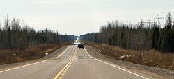 Highway 655 is straight...
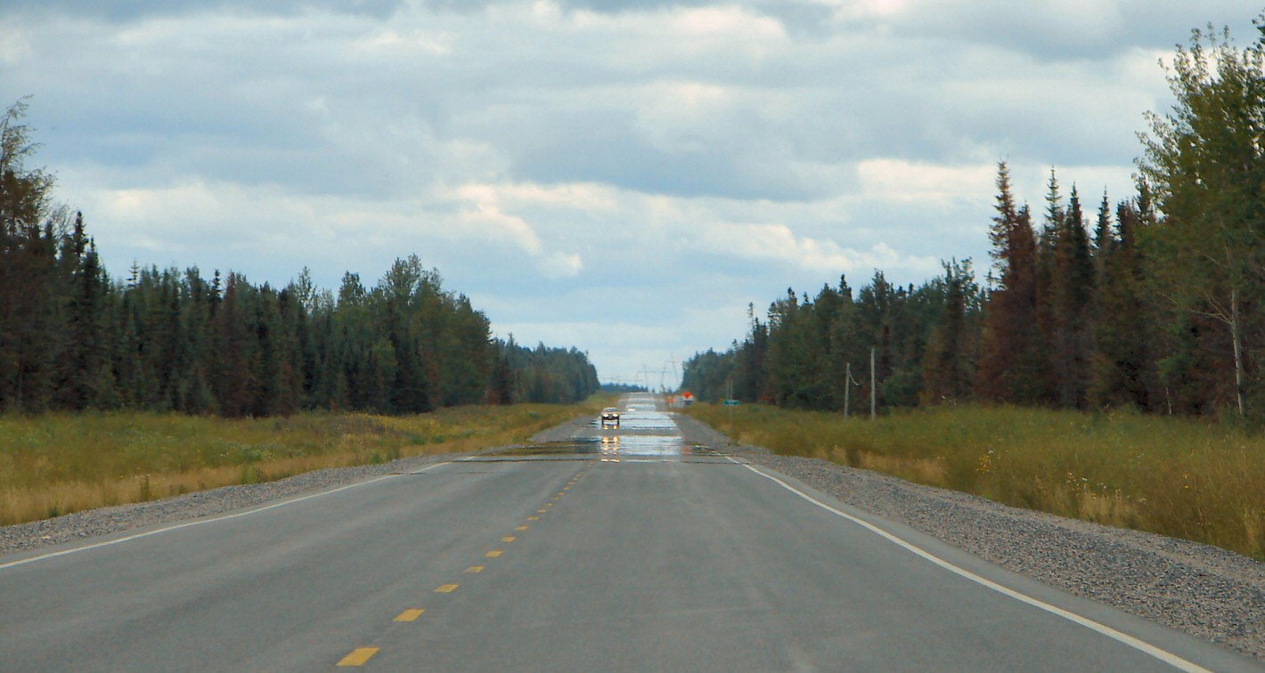
 ...and flat.
Highway 655 is a secondary highway in the Cochrane District in Northern Ontario. The highway is about 75 km (47 mi) long. It is heavily used by trucks as a critical access road to Timmins. The highway is one of the widest (by lane width), best-maintained secondary highways in the north (more comparable to a Kings Highway), and has the distinction of being Ontario's only secondary highway that features a 90 km/h (55 mph) speed limit, due to its importance and high design standards.
Contents
Termini
Its southern end meets with Highway 101 in Timmins and its northern end meets with Highway 11, southeast of the community of Driftwood.
History
Opened in 1965, it was originally known as the Texas Gulf Highway, and ended at the entrance to the Texas Gulf Gold Mine. It was expanded from its original 7 km length to its current length in 1979, creating a more efficient link between Timmins and northern communities along Highway 11 such as Smooth Rock Falls, Cochrane and Kapuskasing.
See also
- List of Ontario provincial highways
External links
Secondary highways of Ontario Secondary Highways 502 · 510 · 516 · 518 · 519 · 520 · 522 · 522B · 523 · 524 · 525 · 526 · 527 · 528 · 528A · 529 · 529A · 531 · 532 · 533 · 534 · 535 · 537 · 538 · 539 · 539A · 540 · 540A · 540B · 542 · 542A · 546 · 547 · 548 · 550 · 551 · 552 · 553 · 554 · 556 · 557 · 558 · 559 · 560 · 560A · 562 · 563 · 564 · 565 · 566 · 567 · 568 · 569 · 570 · 571 · 572 · 573 · 574 · 575 · 577 · 579 · 580 · 581 · 582 · 583 · 584 · 585 · 586 · 587 · 588 · 589 · 590 · 591 · 592 · 593 · 594 · 595 · 596 · 597 · 599 · 600 · 601 · 602 · 603 · 604 · 605 · 607 · 607A · 608 · 609 · 611 · 612 · 613 · 614 · 615 · 617 · 618 · 619 · 621 · 622 · 623 · 624 · 625 · 626 · 627 · 628 · 630 · 631 · 632 · 633 · 634 · 636 · 637 · 638 · 639 · 640 · 641 · 642 · 643 · 644 · 645 · 646 · 647 · 650 · 651 · 652 · 654 · 655 · 656 · 657 · 658 · 661 · 663 · 664 · 665 · 667 · 668 · 670 · 671 · 672 · 673
By district Algoma · Cochrane · Kenora · Manitoulin · Nipissing · Parry Sound · Sudbury · Thunder Bay · TimiskamingSee also County roads · Former highways · Historic Colonization Roads · List of Ontario provincial highways · Ministry of Transportation · Northern Ontario Resource Trail · Numbered highways in Canada · Tourist Routes · Trans-Canada HighwayCounty roads in Ontario · Ontario numbered highways · Expressways and 400-series highways · King's Highways · Secondary highways · Tertiary and 7000-series highways · List of Ontario provincial highways · List of former provincial highways in Ontario · Highways in Ontario · List of Ontario expressways · Trans-Canada Highway · Connecting Link · Emergency Detour RouteCategories:- Ontario secondary highways
- Roads in Cochrane District, Ontario
- Ontario road stubs


Wikimedia Foundation. 2010.