- Newport Coast, Newport Beach
-
Newport Coast — Community of Newport Beach — Newport Coast arch along the Pacific Coast Highway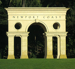 Former location of Newport Coast in Orange County
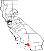
Country United States State California County Orange City Newport Beach Population (2008) - Total 9,000 Time zone PST (UTC-8) - Summer (DST) PDT (UTC-7) Newport Coast was a census-designated place until 2001, in Orange County, California, United States. The population was 9,741 at the 2010 Census. The master-planned community was developed by the Irvine Company. Newport Coast was annexed into Newport Beach, California in 2001.
Newport Coast is an affluent community south of the main body of Newport Beach. A variety of home types are available in the community from small studio apartments to ocean view mansions occupied by well-known celebrities.
Contents
Geography
Newport Coast is located at 33°35′59″N 117°49′41″W / 33.59972°N 117.82806°WCoordinates: 33°35′59″N 117°49′41″W / 33.59972°N 117.82806°W (33.599624, -117.827938)[1], in the San Joaquin Hills above Crystal Cove State Park.
According to the United States Census Bureau, the CDP has a total area of 7.2 square miles (19 km2). 7.1 square miles (18 km2) of it is land and 0.2 square miles (0.52 km2) of it (2.22%) is water.
Demographics
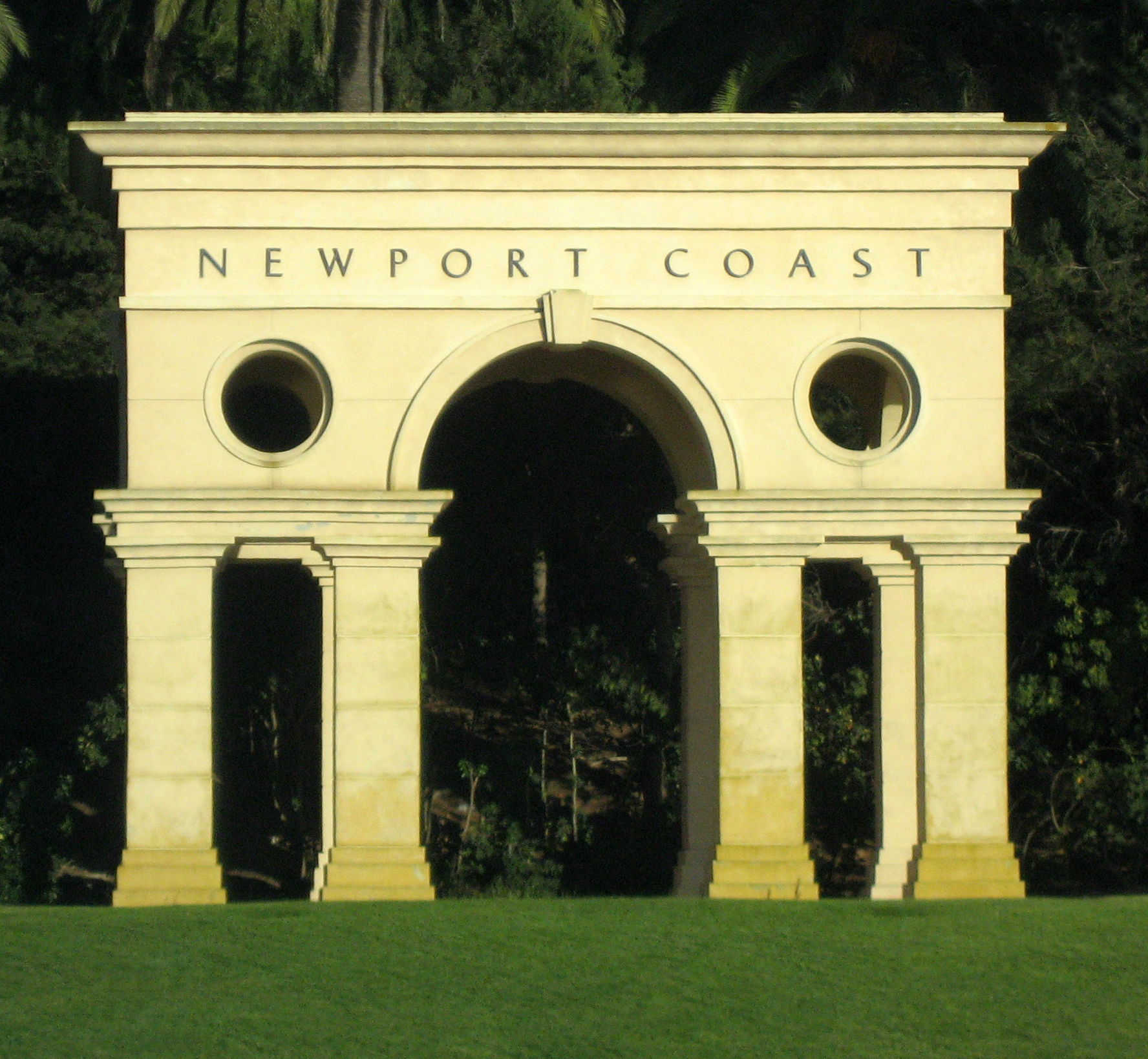
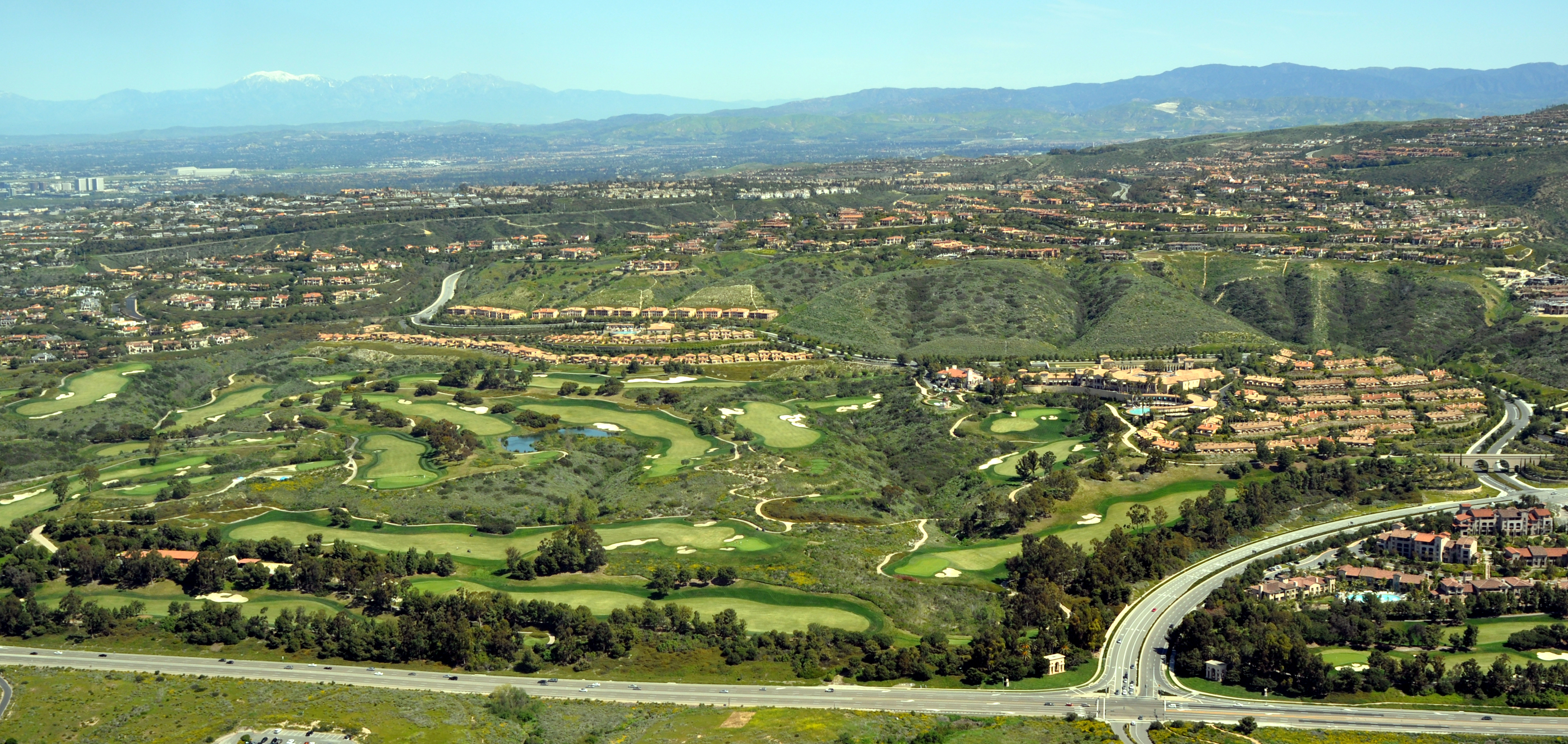
 Newport Coast Aerial photo of Pelican Hill and the arch along the Pacific Coast Highway
As of the census[2] of 2000, there were 2,671 people, 1,001 households, and 776 families residing in the CDP. The population density was 378.9 inhabitants per square mile (146.3/km²). There were 1,106 housing units at an average density of 156.9 per square mile (60.6/km²). The racial makeup of the CDP was 78.06% White, 0.26% African American, 0.15% Native American, 18.08% Asian, 0.30% from other races, and 3.14% from two or more races. Hispanic or Latino of any race were 4.19% of the population.
There were 1,001 households out of which 35.7% had children under the age of 18 living with them, 72.3% were married couples living together, 3.2% had a female householder with no husband present, and 22.4% were non-families. 16.4% of all households were made up of individuals and 3.0% had someone living alone who was 65 years of age or older. The average household size was 2.67 and the average family size was 3.02.In the CDP the population was spread out with 24.6% under the age of 18, 3.8% from 18 to 24, 31.6% from 25 to 44, 33.0% from 45 to 64, and 7.0% who were 65 years of age or older. The median age was 40 years. For every 100 females there were 97.7 males. For every 100 females age 18 and over, there were 96.1 males.
The median income for a household in the CDP was $164,659, and the median income for a family was $173,043. Males had a median income of $100,000+ versus $70,069 for females. The per capita income for the CDP was $98,770. About 1.3% of families and 2.8% of the population were below the poverty line, including 2.1% of those under age 18 and 4.8% of those age 65 or over.
Politics
In the state legislature Newport Coast is located in the 35th Senate District, represented by Republican Tom Harman, and in the 70th Assembly District, represented by Republican Chuck DeVore. Federally, Newport Coast is located in California's 48th congressional district, which has a Cook PVI of R +8[3] and is represented by Republican John Campbell.
References
- ^ "US Gazetteer files: 2010, 2000, and 1990". United States Census Bureau. 2011-02-12. http://www.census.gov/geo/www/gazetteer/gazette.html. Retrieved 2011-04-23.
- ^ "American FactFinder". United States Census Bureau. http://factfinder.census.gov. Retrieved 2008-01-31.
- ^ "Will Gerrymandered Districts Stem the Wave of Voter Unrest?". Campaign Legal Center Blog. http://www.clcblog.org/blog_item-85.html. Retrieved 2008-02-10.
External links
Municipalities and communities of Orange County, California Cities Aliso Viejo | Anaheim | Brea | Buena Park | Costa Mesa | Cypress | Dana Point | Fountain Valley | Fullerton | Garden Grove | Huntington Beach | Irvine | La Habra | La Palma | Laguna Beach | Laguna Hills | Laguna Niguel | Laguna Woods | Lake Forest | Los Alamitos | Mission Viejo | Newport Beach | Orange | Placentia | Rancho Santa Margarita | San Clemente | San Juan Capistrano | Santa Ana | Seal Beach | Stanton | Tustin | Villa Park | Westminster | Yorba Linda
CDPs Unincorporated
communitiesAnaheim Island | Modjeska Canyon | Orange Park Acres | Santa Ana Heights | Santiago Canyon | Silverado | Trabuco Canyon
Categories:- Former census-designated places in California
- Neighborhoods in Newport Beach, California


Wikimedia Foundation. 2010.