- Buena Park, California
Infobox Settlement
official_name = City of Buena Park, California
settlement_type =City 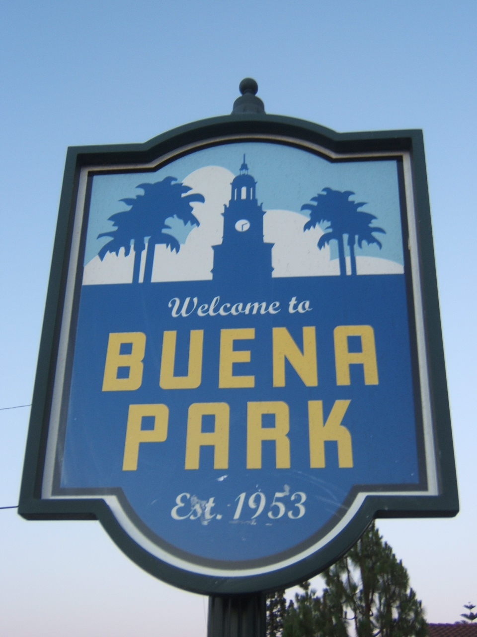
|200px
imagesize =
image_caption =
image_

mapsize = 250x200px
map_caption = Location of Buena Park withinOrange County, California .
mapsize1 = |map_caption1 =
subdivision_type = Country
subdivision_type1 = State
subdivision_type2 = County
subdivision_name =United States
subdivision_name1 =California
subdivision_name2 = Orange
government_type =
leader_title =Mayor
leader_name = Jim Dow
established_date =area_magnitude = 1 E8
area_total_km2 = 27.6
area_land_km2 = 27.4
area_water_km2 = 0.2
area_total_sq_mi = 10.6
area_land_sq_mi = 10.6
area_water_sq_mi = 0.1
elevation_m = 23
elevation_ft = 75
latd = 33 |latm = 51 |lats = 22 |latNS = N
longd = 118 |longm = 0 |longs = 15 |longEW = W
population_as_of = 2000
population_total = 78282
population_footnotes =
population_density_km2 = 2859.5
timezone = PST
utc_offset = -8
timezone_DST = PDT
utc_offset_DST = -7
latitude = 33°52'03" N
longitude = 117°59'50" W
website = http://www.buenapark.com/
postal_code_type =ZIP code s
postal_code = 90620-90624
area_code = 714
blank_name = FIPS code
blank_info = 06-08786
blank1_name = GNIS feature ID
blank1_info = 1652676
footnotes =Buena Park is a city located in northwestern
Orange County, California . As of the 2000 census, the city had a total population of 78,282. The city is located adjacent to the city of Anaheim and is located 12 miles (20 km) northwest of downtown Santa Ana. The CurrentOMB metropolitan designation for Buena Park and the Orange County Area is "Santa Ana-Anaheim-Irvine, CA." Buena Park is home to several tourist attractions, most notablyKnott's Berry Farm ("see Points of interest").Buena Park is also home to Korean, Chinese, Filipino and
Vietnamese American s. Buena Park is noted for its Asian-themed restaurants. Many food distributions centers in Buena Park import goods from various countries in thePacific Rim and then ship them to Asian supermarkets acrossCalifornia .Geography
Buena Park is located at coor dms|33|51|22|N|118|0|15|W|city (33.856214, -118.004169)GR|1.
According to the
United States Census Bureau , the city has a total area of 27.6 km² (10.6 mi²). 27.4 km² (10.6 mi²) of it is land and 0.2 km² (0.1 mi²) of it (0.56%) is water. One of the the things Buena Parkians are proud of is that Buena Park is considered the center of the southland.Origin of the City Name
The exact derivation of the name Buena Park is uncertain. One theory is that the founder of the city, James A. Whitaker, a wholesale
grocer fromChicago , used the name of a Chicago suburb by the same name: Buena Park, Illinois. The community in Illinois and the new township in California were both named in 1887, which is the reason for the confusion about which was named first.Another theory relates to the artesian well and its park-like grounds once located at the current intersection of Artesia and Beach Blvd. (formerly Grand Ave.). Local settlers referred to the area as "Plaza Buena" which means "good park" in Spanish. The mixing of the Spanish and English languages to name Buena Park reflects the major historical influences in the area. There is historic precedent with Yorba Rancho peons using the name "Plaza Buena" decades, if not a century before Whitaker came to southern California.
Therefore, it is possible that the community in Illinois was named after the township in California. James A. Whitaker's brother Andrew lived in Buena Park, IL before moving to Buena Park, CA to join his brother. He may be the link between R. A. Waller (founder of the Buena Park, IL community) and James A. Whitaker's newly formed township.
History
Original Spanish explorers settled on the enormous ranchos by land grants made by the King of Spain. Manuel Nieto of the Portola Expeditions received such a grant in 1783, which was divided by his heirs into five separate ranchos in 1834. One of them, convert|46806|acre|km2|sing=on Rancho Los Coyotes, included the current site of the City of Buena Park where the rancho’s adobe headquarters was located on what is now Los Coyotes Country Club’s golf course.
The area was transferred from Spanish authority to Mexican rule in 1822 and subsequently California was granted statehood in 1850. Americanization further expanded in the area after completion of the transcontinental railroad in 1869 and its connection to Los Angeles in 1875. By then, Abel Stearns had acquired Rancho Los Coyotes in consideration for loans made to Pio and Adres Pico. In 1885, James A. Whitaker purchased convert|690|acre|km2 of this land from Stearns and in
1887 he founded the City of Buena Park in conjunction with the railway development of what we now know as Orange County. The city was incorporated in1953 . An agricultural center when founded (particularly dairy, wine and citrus products) the city is now primarily a residentialsuburb .In recent decades, the city became a popular real estate choice for African Americans, Asian Americans and Hispanic Americans. A special shopping area known as "Indian Village" was established in Buena Park in the 1980s by
East Indian shop owners; this area is similar to Little India in nearbyArtesia . Recent increases of home prices threaten to drive middle-class and minority homebuyers from the market.Fact|date=March 2007Demographics
As of the
census GR|2 of 2000, there were 78,282 people, 23,332 households, and 18,735 families residing in the city. Thepopulation density was 2,859.5/km² (7,403.1/mi²). There were 23,826 housing units at an average density of 870.3/km² (2,253.2/mi²). The racial makeup of the city was 52.99% White, 3.83% Black or African American, 0.96% Native American, 21.06% Asian, 0.51% Pacific Islander, 15.19% from other races, and 5.46% from two or more races. 33.50% of the population were Hispanic or Latino of any race.There were 23,332 households out of which 43.0% had children under the age of 18 living with them, 59.0% were married couples living together, 14.8% had a female householder with no husband present, and 19.7% were non-families. 14.4% of all households were made up of individuals and 5.4% had someone living alone who was 65 years of age or older. The average household size was 3.32 and the average family size was 3.64.
In the city the population was spread out with 29.4% under the age of 18, 9.7% from 18 to 24, 32.3% from 25 to 44, 19.2% from 45 to 64, and 9.3% who were 65 years of age or older. The median age was 32 years. For every 100 females there were 98.3 males. For every 100 females age 18 and over, there were 94.9 males.
The median income for a household in the city was $50,336, and the median income for a family was $52,327. Males had a median income of $37,471 versus $30,287 for females. The
per capita income for the city was $18,031. About 8.0% of families and 11.3% of the population were below thepoverty line , including 13.8% of those under age 18 and 6.7% of those age 65 or over.Government and politics
Local
Buena Park is a
California general law city with acouncil-manager government system. Everyday management of city functions is directed by a professional city manager, who is overseen by an elected City Council of five non-partisan members elected at large and whose chair acts as mayor. The city manager is Rick Warsinski.Current Mayor And City Council Members
*Jim Dow, Mayor
*Steve Berry, Mayor Pro Tem
*Patsy Marshall, Councilmember
*Don McKay, Councilmember
*Art Brown, Councilmembertate and federal
In the state legislature Buena Park is located in the 33rd, 34th, and 35th Senate Districts, represented by Republican
Dick Ackerman , DemocratLou Correa , and RepublicanTom Harman respectively, and in the 56th Assembly District, represented by DemocratTony Mendoza . Federally, Buena Park is located inCalifornia's 40th congressional district , which has a Cook PVI of R +8 [cite web | title = Will Gerrymandered Districts Stem the Wave of Voter Unrest? | publisher = Campaign Legal Center Blog | url=http://www.clcblog.org/blog_item-85.html | accessdate = 2008-02-10] and is represented by RepublicanEd Royce .Education
Buena Park is home to one of the 13 special district libraries in the
State of California . TheBuena Park Library District [http://www.buenapark.lib.ca.us] is a single-purpose library district governed by an elected Board of Trustees, and has as its principal source of income a small property tax proration. The library's early history is much like other communities: it operated on and off as a volunteer operation beginning in 1905 at several temporary locations with donated books. It was formally established as a library district through the efforts of the Buena Park Woman's Club in 1919, and, through a few more building changes, is now located at 7150 La Palma Avenue, between Knott Avenue and Western Avenue. The current facility's construction was completed in early 1969 financed by a bond measure passed by the citizens of Buena Park on June 6, 1967. The community's library holds over 125,000 library materials from books to music CDs, magazines to movies, and provides a number of free public programs for all ages every week. It has free Internet service, and free library cards to all California residents. The library also has photocopier and fax services for small fees. The library is also a US Passport Acceptance Agency for theU.S. Department of State and its service hours are posted at both the Passport Acceptance Agency's and the library's web sites. Its support group, the Volunteer Guild of the Buena Park Library, runs a bookstore and sells gently used materials. The bookstore is located on the Library's second floor.The city is served by seven different school districts. [http://www.bpsd.k12.ca.us/index.html Buena Park School District] covers nearly the entire northern half of the city, which feeds into the
Fullerton Joint Union High School District . Centralia, Cypress, Magnolia and Savanna School Districts carve the remaining southern half of the city, feeding into theAnaheim Union High School District .Buena Park High School is the only high school within city limits. Kennedy, Savanna, Sunny Hills and Western High Schools also all serve the city's students, but are in either Fullerton, La Palma or Anaheim.Gordon H Beatty, Arthur F. Corey, Charles G. Emery, Carl E. Gilbert, Mabel L. Pendleton and James A. Whitaker Elementary Schools along with Buena Park Junior High are the seven schools that make up the Buena Park School District.
Emergency services
Fire protection in Buena Park is provided by the
Orange County Fire Authority . Law enforcement is provided by theBuena Park Police Department . Ambulance service is provided byCare Ambulance Service .Points of interest
Buena Park's E-Zone district, located along Beach Boulevard, is home to several well-known tourist destinations: the venerable
Knott's Berry Farm theme park and its sisterwater park Knott's Soak City , Pirate's Dinner Adventure Show, aMedieval Times dinner show, and aRipley's Believe it or Not! museum. The Movieland Wax Museum, one of the largest of its kind in the world, was once located in the E-Zone until it closed in 2005. The E-Zone also neighbors Anaheim, withDisneyland just east by way of Katella Avenue, Ball Road, and Interstate 5.The City of Buena Park also has its own local history park located on Beach Blvd just south of Interstate 5. On these grounds, the city has preserved several historic buildings. These include the
Whitaker-Jaynes House (which serves as the city's local history museum) theBacon House , theStage Stop Hotel (which houses the current Chamber of Commerce offices) and theTice House . The Buena Park Historical Society manages and maintains the historical content of the museum. Coming in the summer or fall of 2008, theDreger Clock , after restoration work is complete, will be placed on the grounds near the Whitaker-Jaynes House.Transportation
Buena Park's main commercial artery is Beach Boulevard, State Route 39, also home to the city's
civic center , the E-Zone entertainment district, andBuena Park Downtown shopping center. TheRiverside Freeway (SR 91) andSanta Ana Freeway (I-5) criss-cross the city, connecting it with cities to the east and west, north and south respectively. TheOrange County Transportation Authority provides public bus services, but most residents rely on cars.Fullerton Municipal Airport is the closestairport , but the nearest airport with commercial service isLong Beach Airport , about convert|13|mi|km to the southwest. Both Union Pacific (originally Southern Pacific) and BNSF railroad tracks cross the city. Construction on aMetrolink Orange County Line station in Buena Park to operate on the latter started in January 2006. The new Metrolink station opened in September 2007. [http://www.octa.net/pdf/bp_metro.pdf]The Buena Park Metrolink Station is open for business! Here's a link to the photos and newspaper story:http://www.ocregister.com/news/county-station-buena-1838451-park-riders
Notable residents
*
Monte Hinkle , Orange County historian
*Eric Book , song writer and music producer
*Heimar Lassas , former Finnish cross-country skier
*Johnie Harmon , Professional MetallographerReferences
Regarding the Naming of the city -- Buena Park News, June 25, 1972, page A-2"From Coyotes to Commerce: Origin of the Name 'Buena Park'"by H. A. (Hub) ChamberlainThis was article 39 of 133 that appeared in the twice-weeklyseries "From Coyotes to Commerce: ... " External links
* [http://www.buenapark.com/ City of Buena Park official website]
* [http://www.bppd.com/ Buena Park Police Department]
* [http://www.buenapark.lib.ca.us/ Buena Park Library District]
* [http://historicalsociety.org/ Buena Park Historical Society]
* [http://iafdb.travel.state.gov/DetailsForm.aspx?AFID=13649&vs=0/ US Department of State - Passport Acceptance Agency information = Buena Park Library District]
* [http://travel.state.gov/ US Department of State - Bureau of Consular Affairs]
Wikimedia Foundation. 2010.