- Silverado, California
Infobox Settlement
official_name = Silverado, California
settlement_type =Unincorporated area 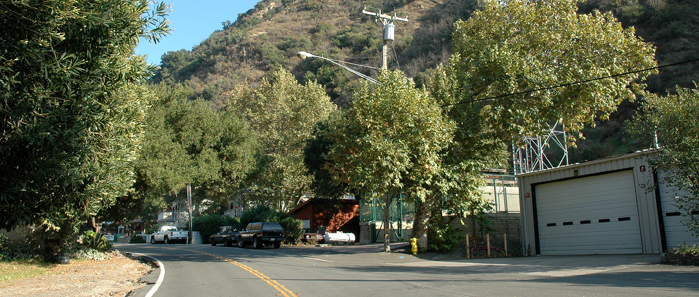
imagesize =
image_caption = A portion of Silverado's main road, November 2005.
mapsize =
map_caption =
mapsize1 =
map_caption1 =
subdivision_type = Country
subdivision_type1 = State
subdivision_type2 = County
subdivision_name =United States
subdivision_name1 =California
subdivision_name2 = Orange
government_type =
leader_title =
leader_name =
established_date =
area_magnitude =
area_total_km2 =
area_land_km2 =
area_water_km2 =
area_total_sq_mi =
area_land_sq_mi =
area_water_sq_mi =
elevation_m =
elevation_ft = 500 - 1640
latd =
longd =
population_as_of =
population_total =
population_density_km2 =
timezone = PST
utc_offset = -8
timezone_DST = PDT
utc_offset_DST = -7
latitude =
longitude =
other =
postal_code_type =ZIP code
postal_code = 92676
area_code = 714
blank_name =
blank_info =
blank1_name =
blank1_info =
footnotes =
website =Silverado is an
unincorporated community in Silverado Canyon, located in theSanta Ana Mountains in easternOrange County, California . It sits on formerIrvine Ranch land that was mined extensively forsilver during the late 19th century. During Spanish rule, it was known by the name "Canyon de la Madera" (Timber Canyon). (The name Silverado is a type ofSpanglish indicating a place where silver is found; a parallel formation to "El Dorado ".) It consists of only a few thousand residents, 1 store, 1 restaurant, a public library and a post office. A local landmark near Silverado isCook's Corner , popular with bikers. During the Santiago Fire many firemen dined there. Silverado is split into two canyons:Modjeska Canyon andSantiago Canyon . The majority of Silverado is located within the boundaries ofCleveland National Forest .Until October, 2007, there had never been a wildfire recorded in the canyon (where homes are) since records have been kept, though it was named as Southern California's highest risk area for
wildfire s. On October 26, 2007, the Orange County Fire Authority issued a mandatory evacuation [ [http://www.ocfa.org/pages/ocfa.asp?filename=canyonfire.asp OCFA ] ] of the area due to the Santiago Fire. Silverado has been a problem area for rockslides as well.In 2004, a teenage girl was killed in her home, which was part of the Shadybrook Market, when a massive boulder broke loose during heavy rains and rolled through her bedroom. Danny Johnson, a resident of Silverado, was the last person to take a photo of the intact Shadybrook Market. It was the day of the fatal boulder crash, and was taken for a school project.
Today new homes and developments from nearby urban areas are encroaching on the canyons. The largest proposed projects are by The Irvine Company, which plans to build two developments stretching along Santiago Canyon Road from Jamboree Road past Irvine Lake. The first, situated on both sides of the 241 toll road, will consist of 1,746 homes on convert|496|acre|km2|1. The second development, overlooking Irvine Lake, will add 2,400 more homes on 1,000 acres (4 km²).
References
External links
* [http://www.campsilverado.com Camp Silverado - Thirteen Days on the Lot]
* [http://nature.org/wherewework/northamerica/states/california/preserves/art6334.html The Nature Conservancy: Santa Ana Mountains]
* [http://www.santaanamountains.org Santa Ana Mountains Wild Heritage Project]
* [http://www.naturalist-for-you.org Naturalist For You]
* [http://www.fs.fed.us/r5/cleveland/ Cleveland National Forest]
* [http://www.biologicaldiversity.org/index.html Center For Biological Diversity]
* [http://www.freewebs.com/santaanamountains/index.htm Santa Ana Mountains Natural History Association]
Wikimedia Foundation. 2010.