| [3] |
Landmark name[4] |
Image |
Date listed |
Location |
Summary |
| 1 |
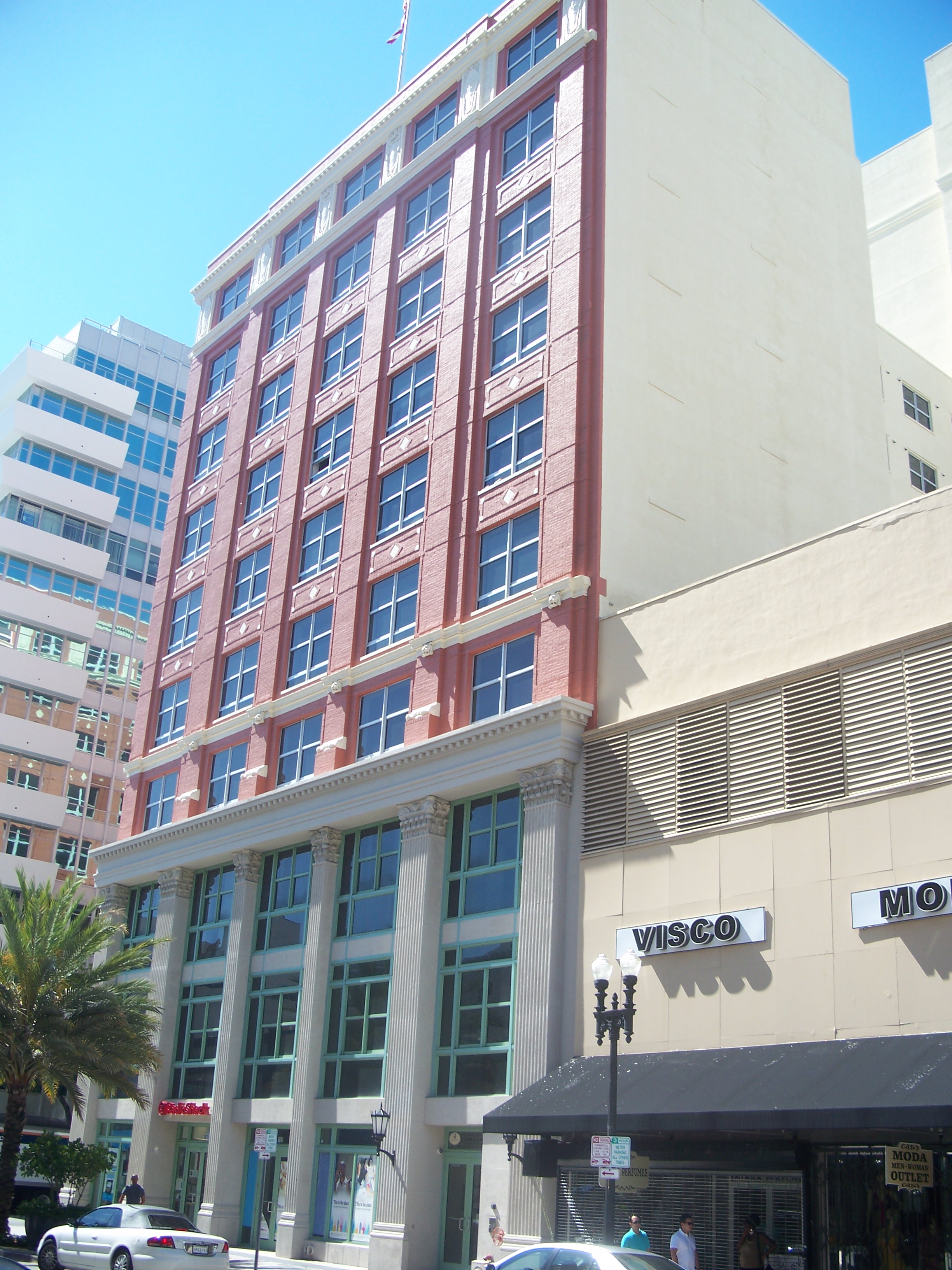
Algonquin Apartments |
 |
01989-01-04 January 4, 1989 |
1819–1825 Biscayne Boulevard
25°47′37″N 80°11′20″W / 25.79361°N 80.18889°W / 25.79361; -80.18889 (Algonquin Apartments) |
Part of the Downtown Miami MRA |
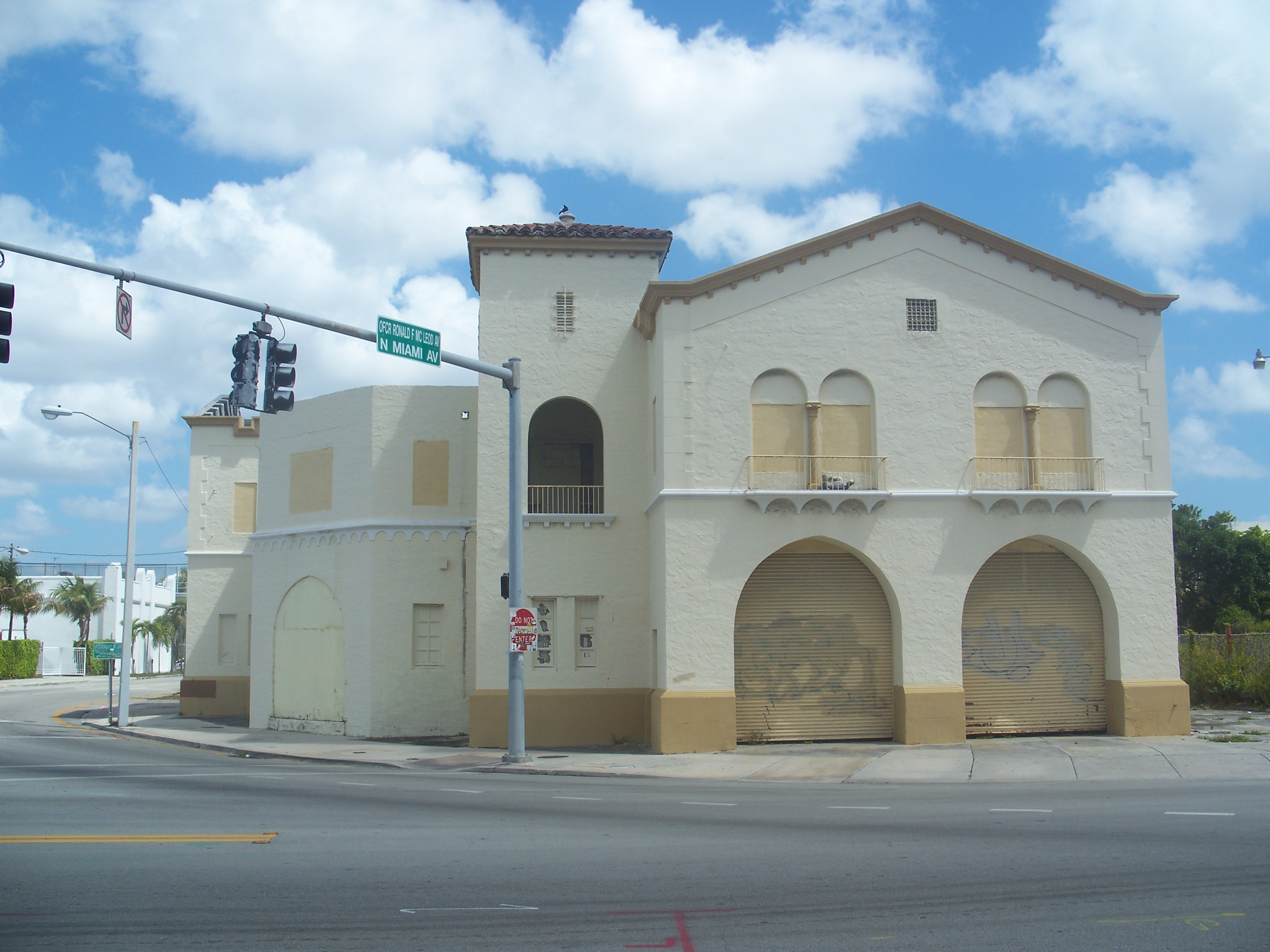
| 2 |
Atlantic Gas Station |
 |
01988-12-29 December 29, 1988 |
668 Northwest 5th Street
25°46′41″N 80°12′22″W / 25.77806°N 80.20611°W / 25.77806; -80.20611 (Atlantic Gas Station) |
Part of the Downtown Miami MRA |
| 3 |
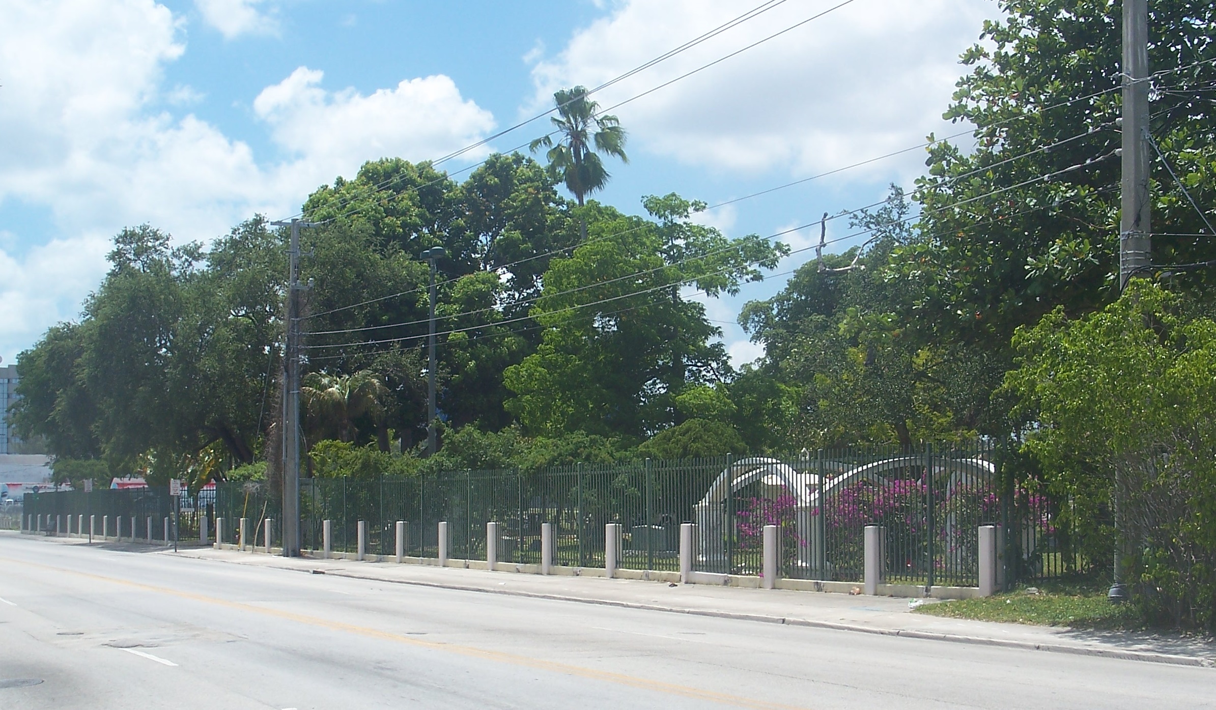
Barracks and Mess Building-US Coast Guard Air Station at Dinner Key |
 |
01995-08-10 August 10, 1995 |
2610 Tigertail Avenue
25°43′55″N 80°14′7″W / 25.73194°N 80.23528°W / 25.73194; -80.23528 (Barracks and Mess Building-US Coast Guard Air Station at Dinner Key) |
|
| 4 |
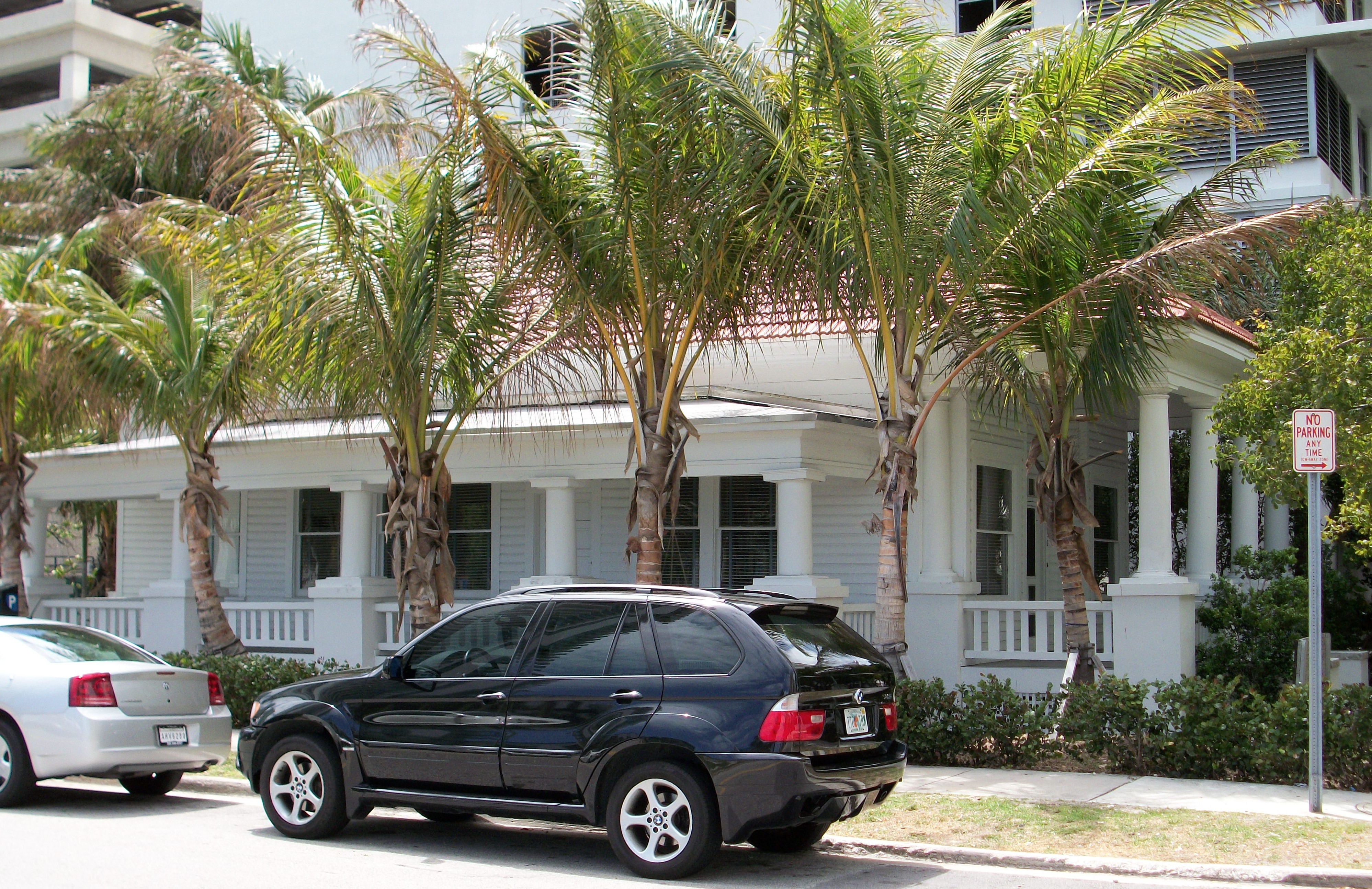
Bay Shore Historic District |
|
01992-10-02 October 2, 1992 |
Roughly bounded by Northeast 55th Street, Biscayne Boulevard, Northeast 60th Street, and Biscayne Bay |
|
| 5 |
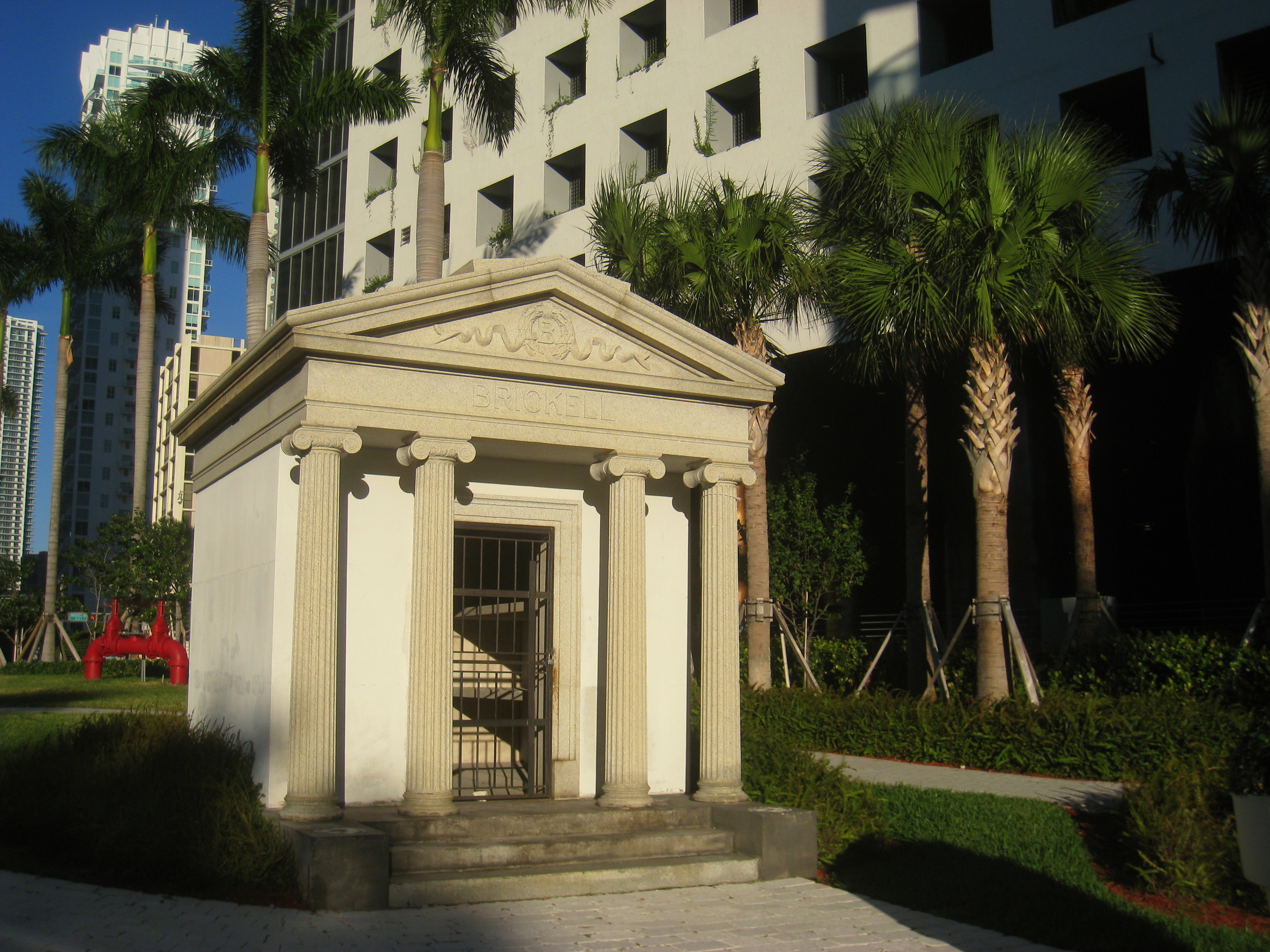
Brickell Mausoleum |
 |
01989-01-04 January 4, 1989 |
501 Brickell Avenue
25°46′5″N 80°11′30″W / 25.76806°N 80.19167°W / 25.76806; -80.19167 (Brickell Mausoleum) |
Part of the Downtown Miami MRA |
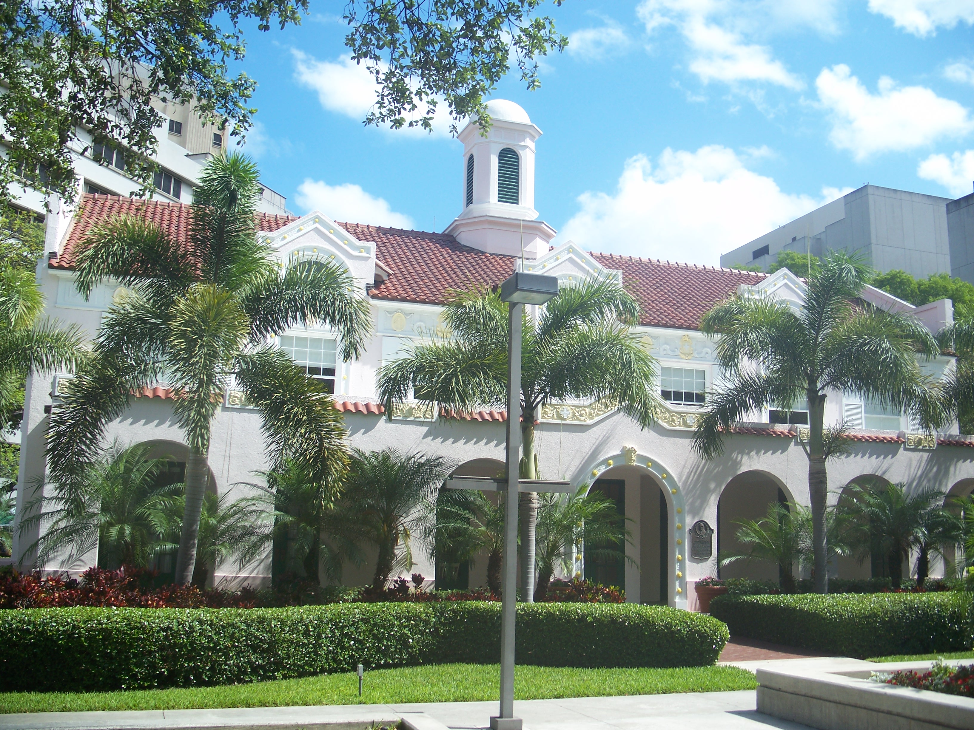
| 6 |
Brickell Point Site |
 |
02002-02-05 February 5, 2002 |
401 Brickell Ave
25°46′8″N 80°11′21″W / 25.76889°N 80.18917°W / 25.76889; -80.18917 (Brickell Point Site) |
|
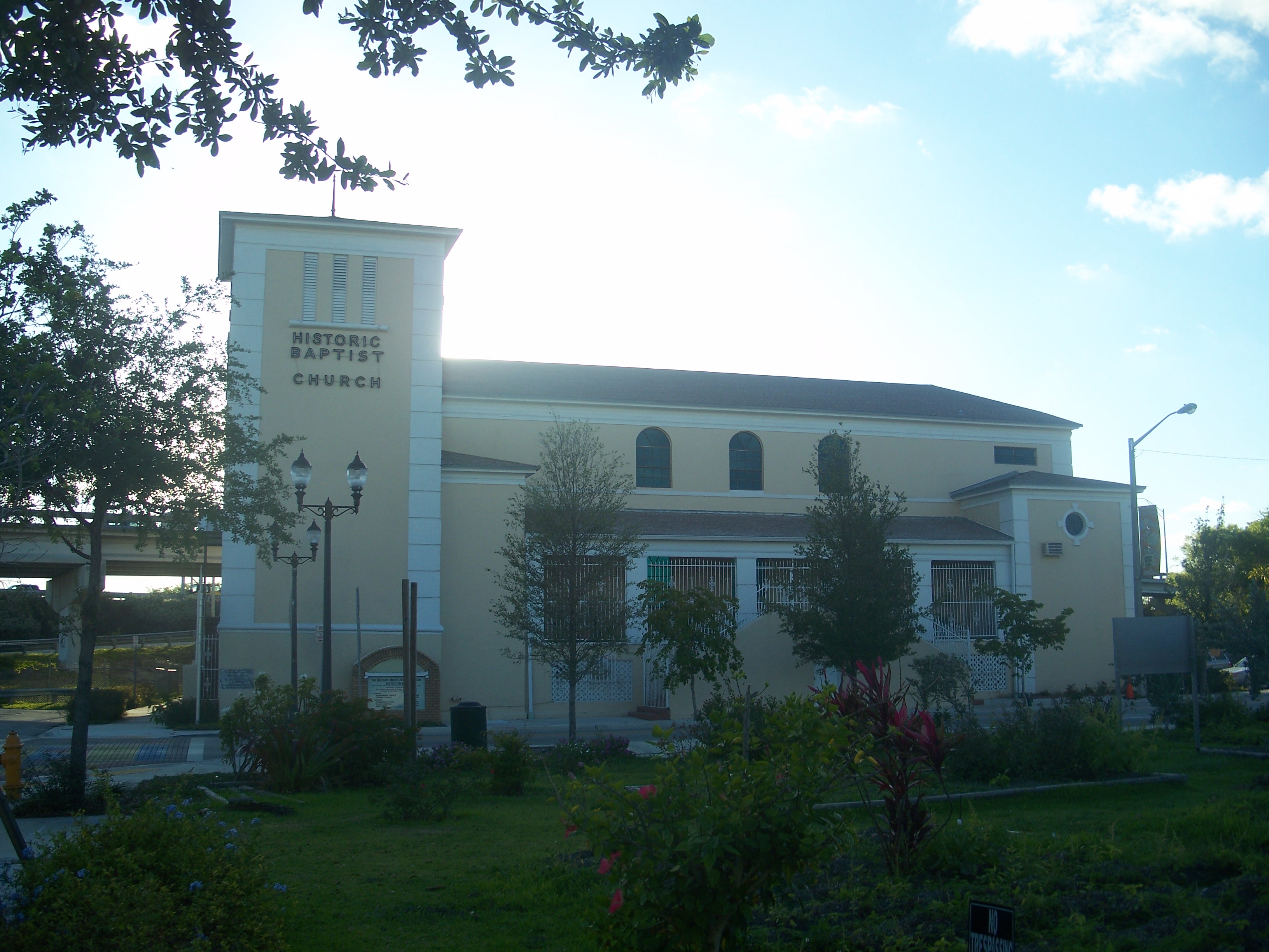
| 7 |
Central Baptist Church |
 |
01989-01-04 January 4, 1989 |
500 Northeast 1st Avenue
25°46′31″N 80°11′31″W / 25.77528°N 80.19194°W / 25.77528; -80.19194 (Central Baptist Church) |
Part of the Downtown Miami MRA |
| 8 |
City National Bank Building |
 |
01989-01-04 January 4, 1989 |
121 Southeast 1st Street
25°46′30″N 80°11′30″W / 25.775°N 80.19167°W / 25.775; -80.19167 (City National Bank Building) |
Part of the Downtown Miami MRA |
| 9 |
City of Miami Cemetery |
 |
01989-01-04 January 4, 1989 |
1800 Northeast 2nd Avenue
25°47′38″N 80°11′27″W / 25.79389°N 80.19083°W / 25.79389; -80.19083 (City of Miami Cemetery) |
Part of the Downtown Miami MRA |
| 10 |
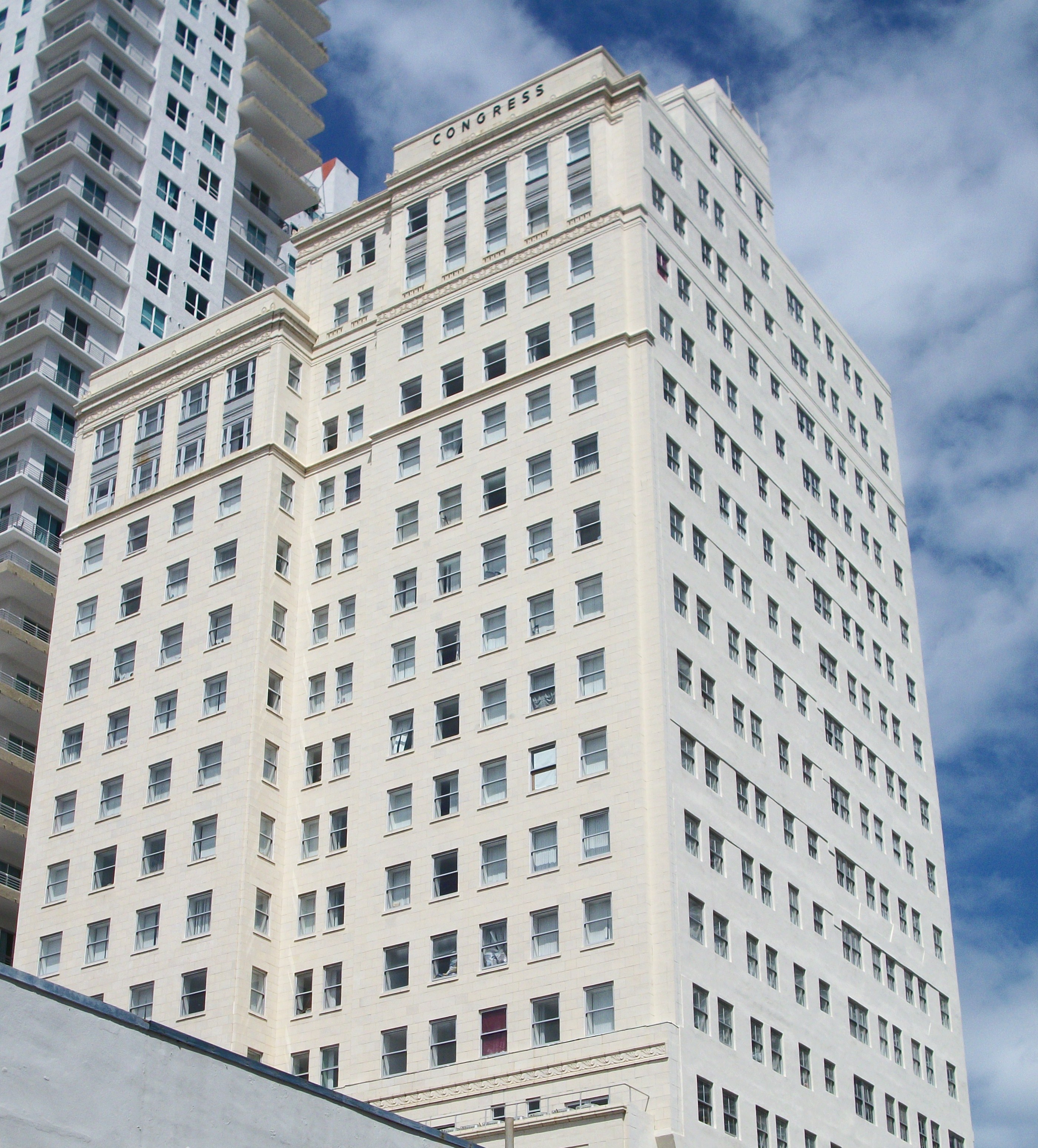
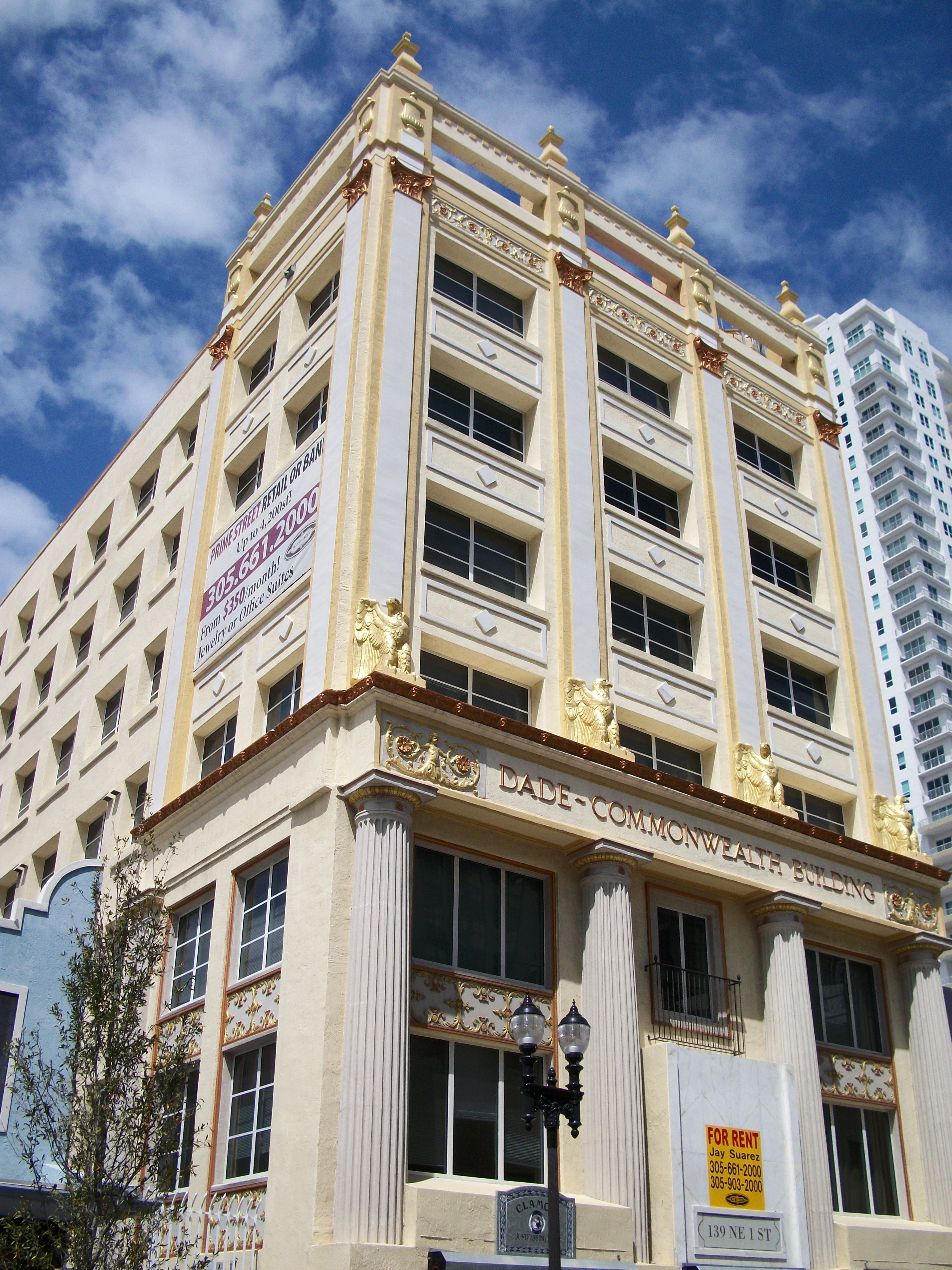
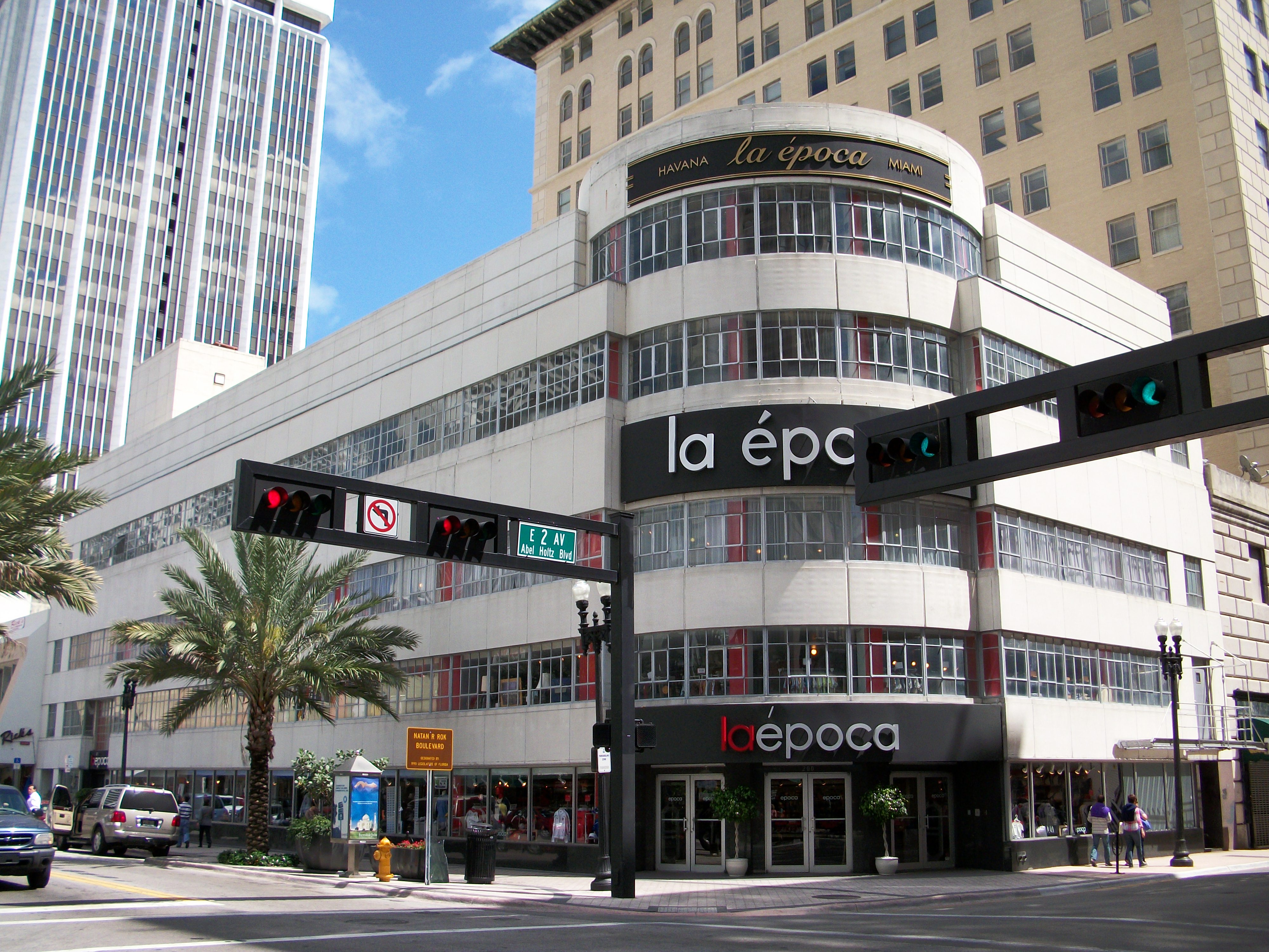
Congress Building |
 |
01985-03-14 March 14, 1985 |
111 Northeast 2nd Avenue
25°46′31″N 80°11′24″W / 25.77528°N 80.19°W / 25.77528; -80.19 (Congress Building) |
|
| 11 |
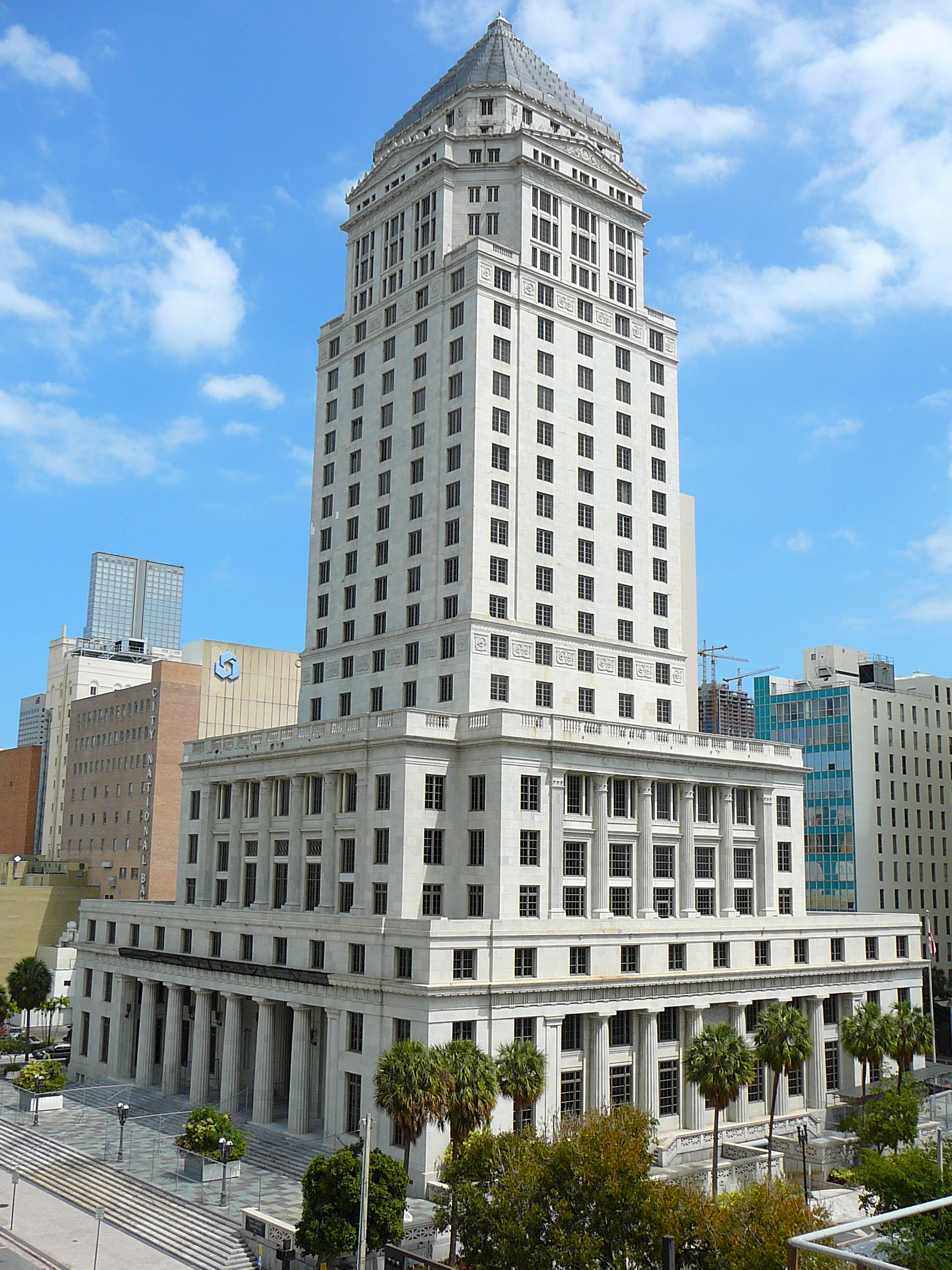
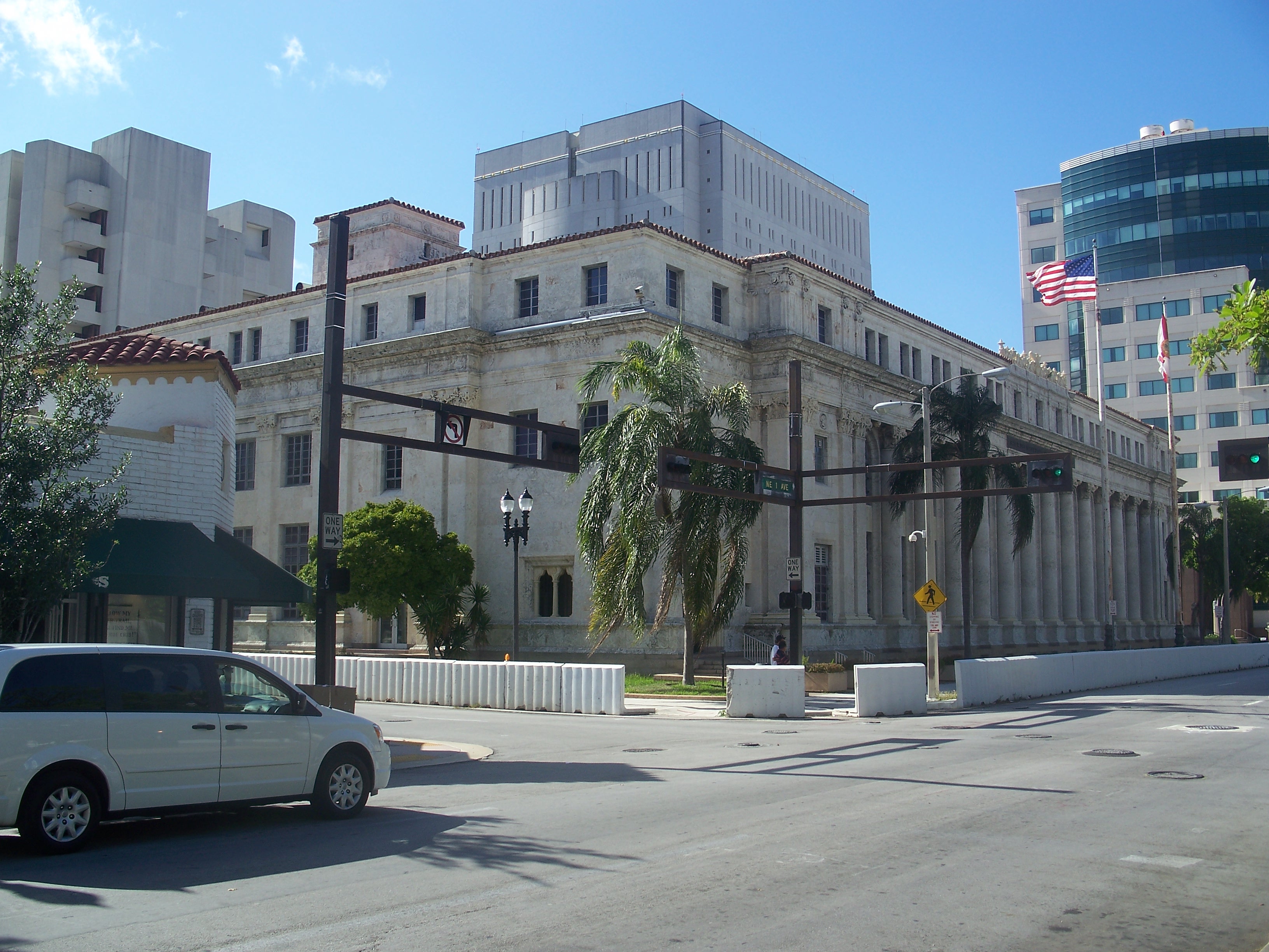
Dade County Courthouse |
 |
01989-01-04 January 4, 1989 |
73 West Flagler Street
25°46′27″N 80°11′43″W / 25.77417°N 80.19528°W / 25.77417; -80.19528 (Dade County Courthouse) |
Part of the Downtown Miami MRA |
| 12 |
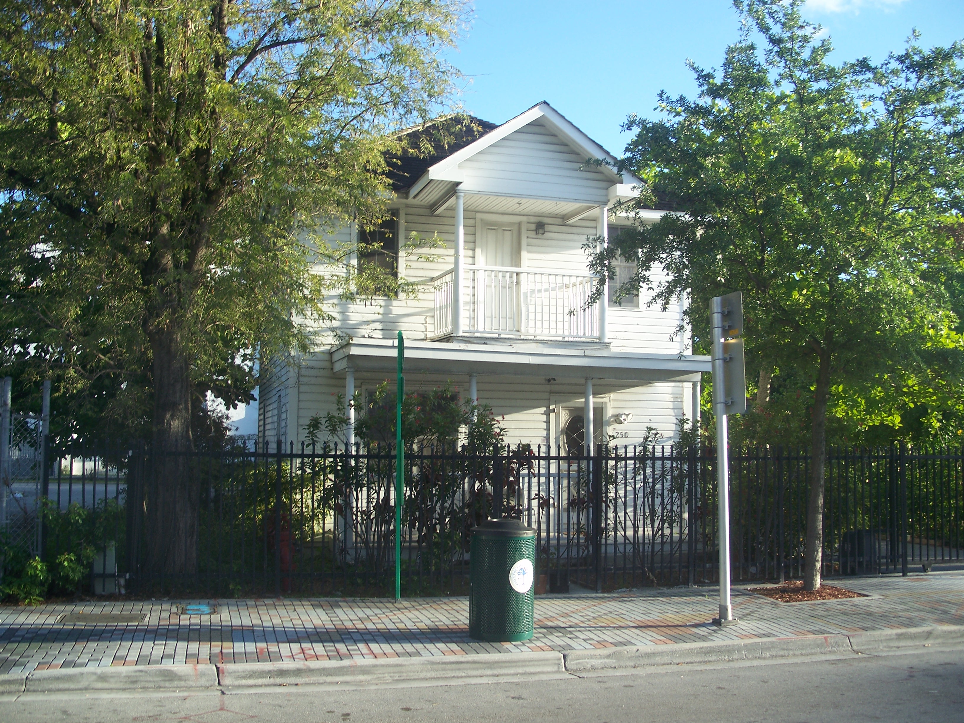
D. A. Dorsey House |
 |
01989-01-04 January 4, 1989 |
250 Northwest 9th Street
25°46′57″N 80°11′56″W / 25.7825°N 80.19889°W / 25.7825; -80.19889 (Dorsey, D. A., House) |
Part of the Downtown Miami MRA |
| 13 |
Downtown Miami Historic District |
 |
02005-12-06 December 6, 2005 |
Roughly bounded by Miami Ct., 3rd Street, 3rd Avenue, and 2nd Street |
|
| 14 |
Alfred I. DuPont Building |
 |
01989-01-04 January 4, 1989 |
169 East Flagler Street
25°46′26″N 80°11′27″W / 25.77389°N 80.19083°W / 25.77389; -80.19083 (DuPont, Alfred I., Building) |
Part of the Downtown Miami MRA |
| 15 |
El Jardin |
 |
01974-08-30 August 30, 1974 |
3747 Main Highway
25°43′18″N 80°14′54″W / 25.72167°N 80.24833°W / 25.72167; -80.24833 (El Jardin) |
|
| 16 |
Fire Station No. 2 |
 |
01989-01-04 January 4, 1989 |
1401 North Miami Avenue
25°47′17″N 80°11′41″W / 25.78806°N 80.19472°W / 25.78806; -80.19472 (Fire Station No. 2) |
Part of the Downtown Miami MRA |
| 17 |
Fire Station No. 4 |
 |
01984-03-08 March 8, 1984 |
1000 South Miami Avenue
25°45′51″N 80°11′36″W / 25.76417°N 80.19333°W / 25.76417; -80.19333 (Fire Station No. 4) |
|
| 18 |
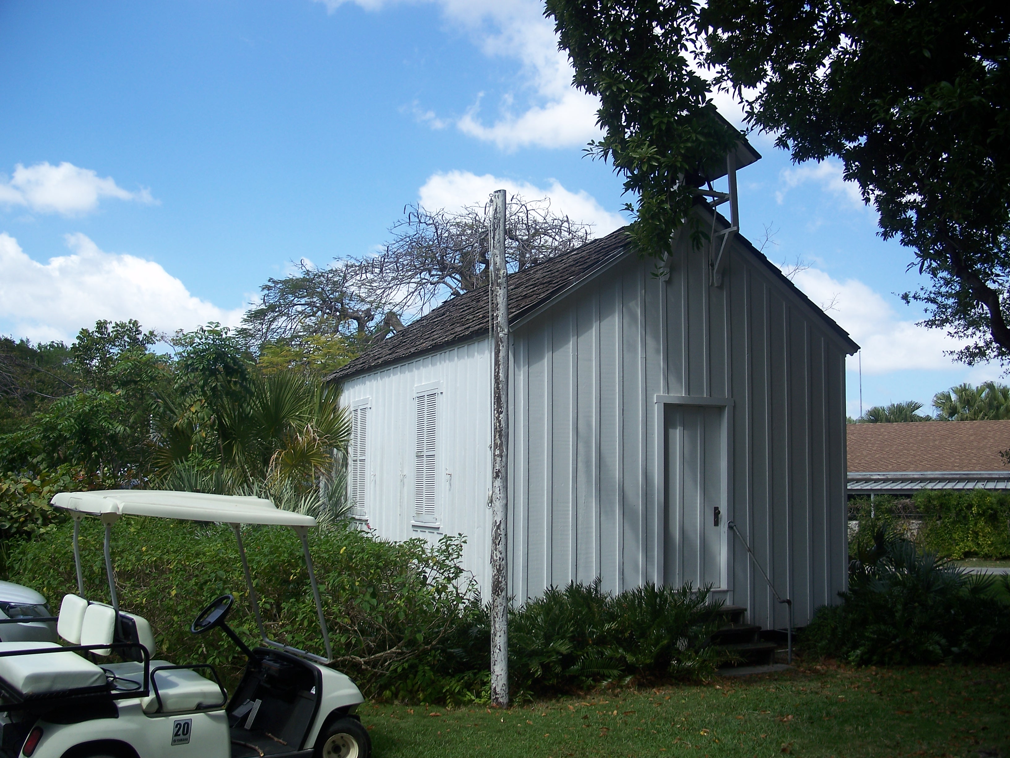
First Coconut Grove School |
 |
01975-01-21 January 21, 1975 |
3429 Devon Road
25°43′19″N 80°14′55″W / 25.72194°N 80.24861°W / 25.72194; -80.24861 (First Coconut Grove School) |
|
| 19 |
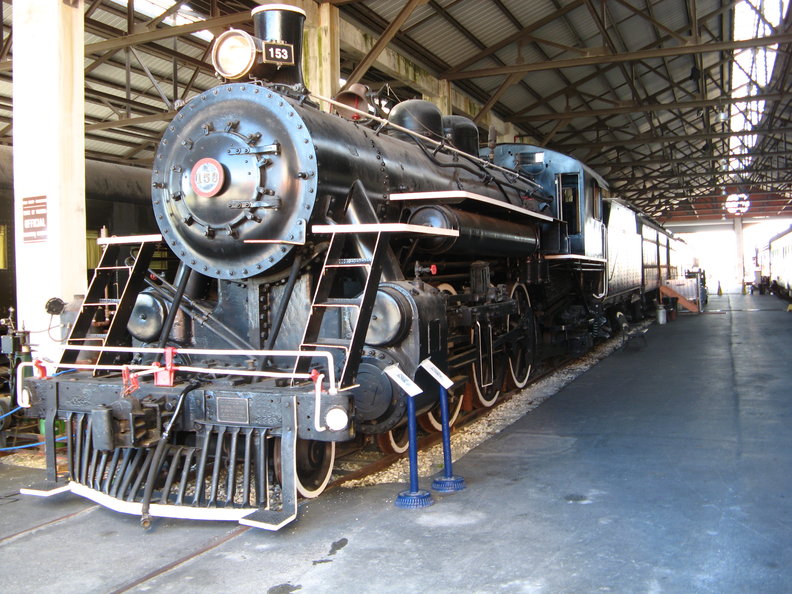
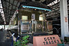
Florida East Coast Railway Locomotive No. 153 |
 |
01985-02-21 February 21, 1985 |
12400 Southwest 152nd Street
25°37′15″N 80°24′22″W / 25.62083°N 80.40611°W / 25.62083; -80.40611 (Florida East Coast Railway Locomotive #153) |
|
| 20 |
Freedom Tower |
 |
01979-09-10 September 10, 1979 |
600 Biscayne Boulevard
25°46′48″N 80°11′23″W / 25.78°N 80.18972°W / 25.78; -80.18972 (Freedom Tower) |
|
| 21 |
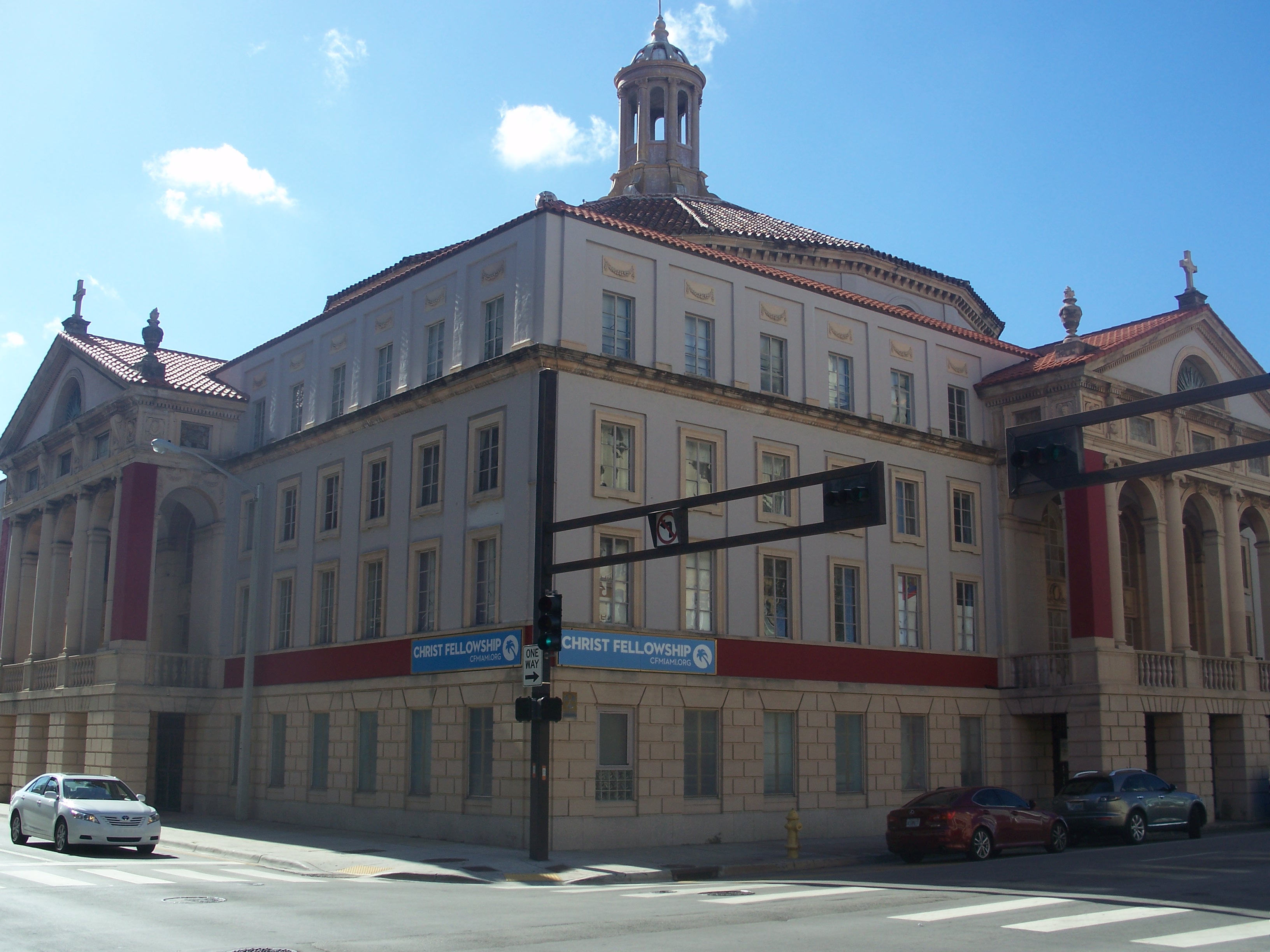
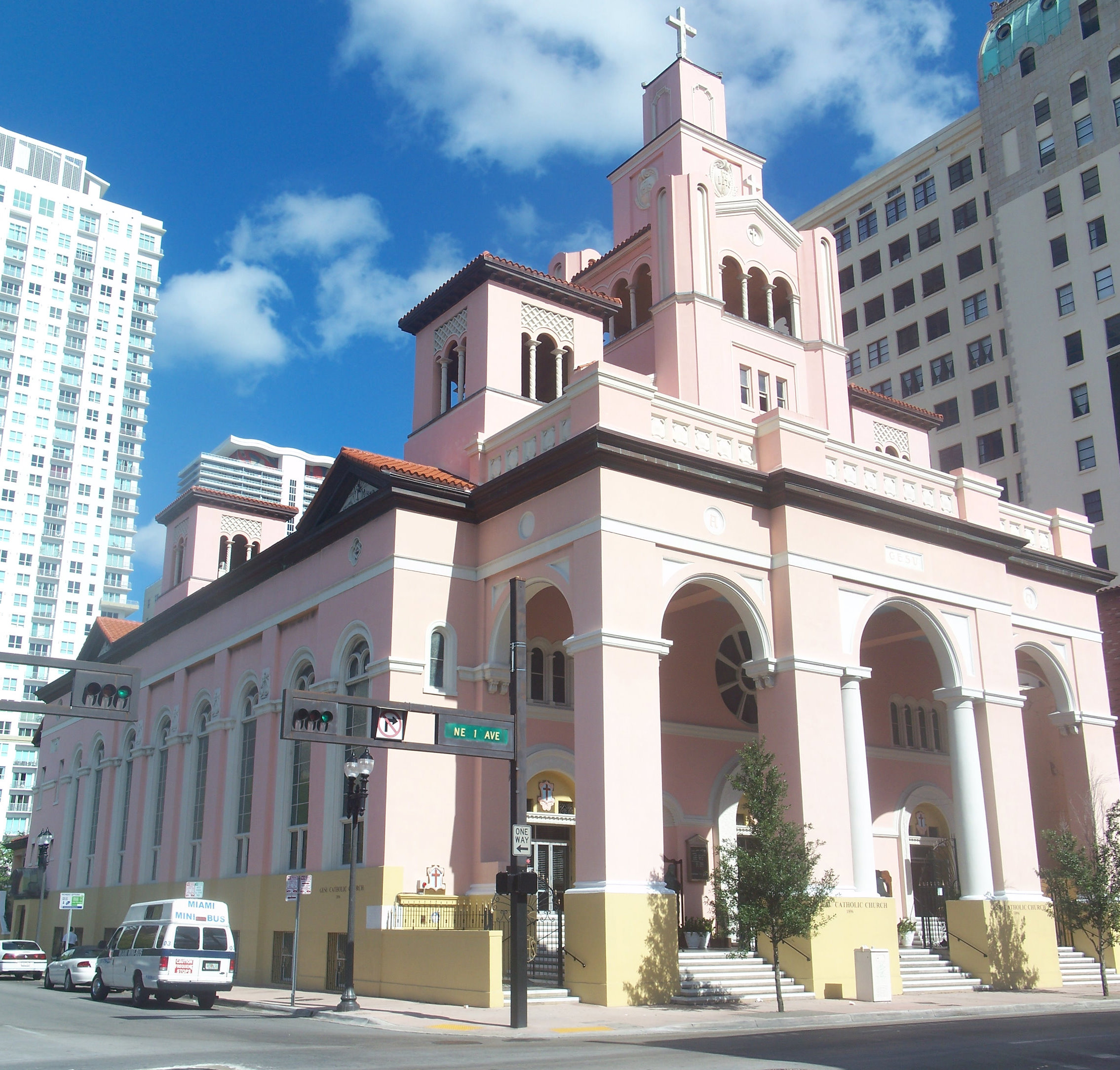
Gesu Church |
 |
01974-07-18 July 18, 1974 |
118 Northeast 2nd Street
25°46′32″N 80°11′31″W / 25.77556°N 80.19194°W / 25.77556; -80.19194 (Gesu Church) |
|
| 22 |
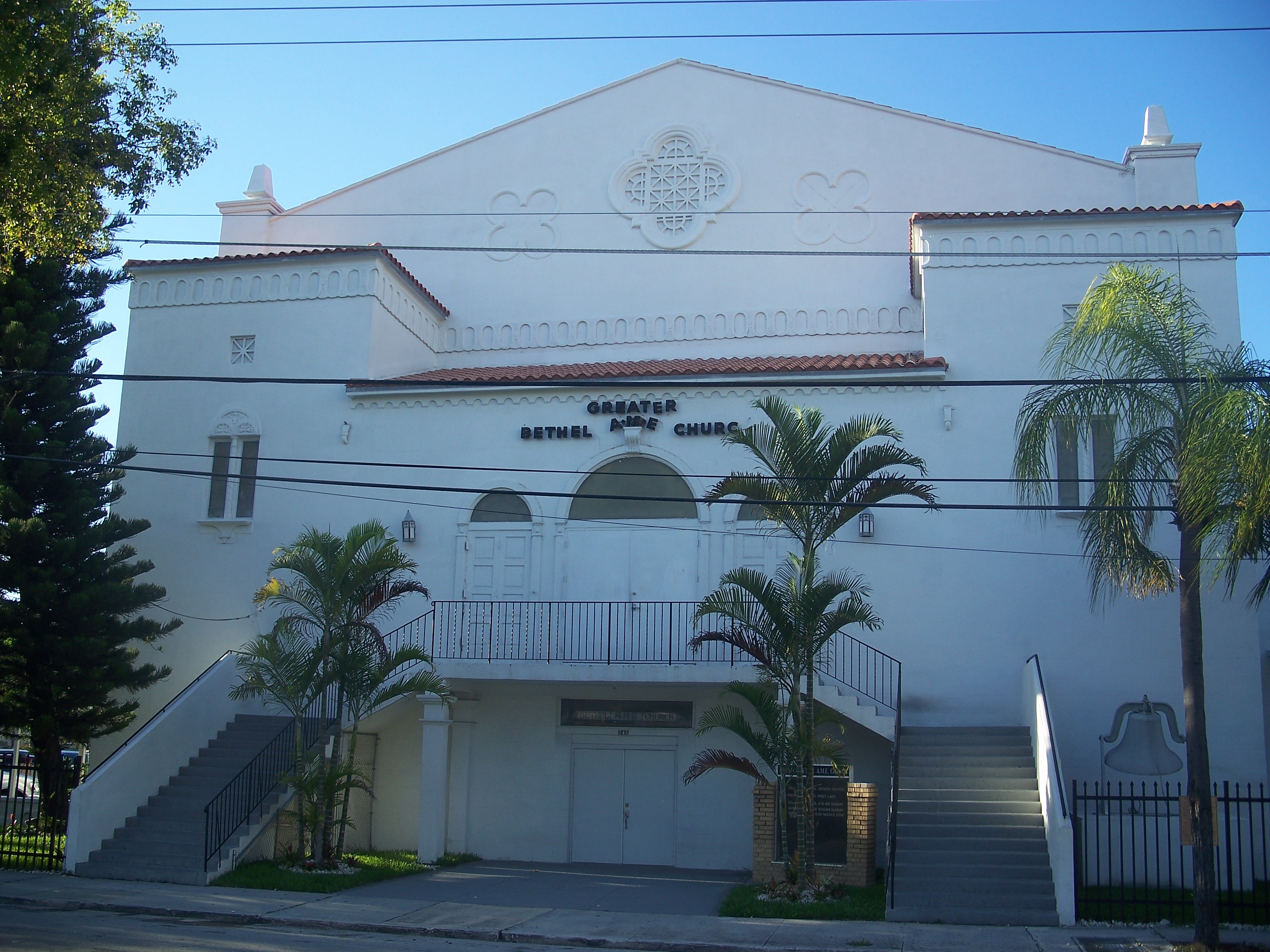
Greater Bethel AME Church |
 |
01992-04-17 April 17, 1992 |
245 Northwest 8th Street
25°46′54″N 80°11′57″W / 25.78167°N 80.19917°W / 25.78167; -80.19917 (Greater Bethel AME Church) |
Part of the Downtown Miami MRA |
| 23 |
I. and E. Greenwald Steam Engine No. 1058 |
 |
01987-03-12 March 12, 1987 |
3898 Shipping Avenue
25°43′57″N 80°15′27″W / 25.7325°N 80.2575°W / 25.7325; -80.2575 (Greenwald, I. and E., Steam Engine No. 1058) |
|
| 24 |
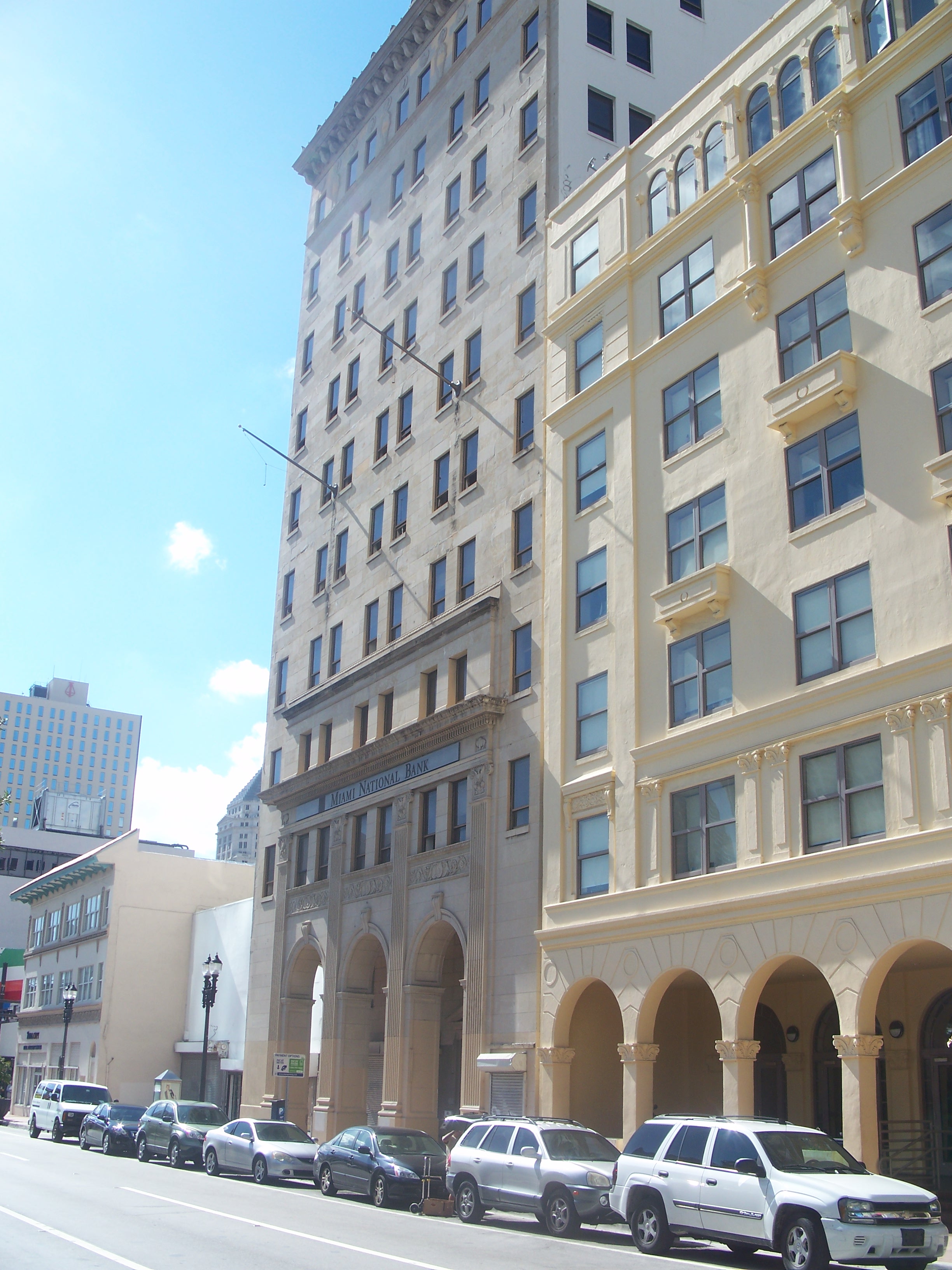
Hahn Building |
 |
01989-01-04 January 4, 1989 |
140 Northeast 1st Avenue
25°46′32″N 80°11′32″W / 25.77556°N 80.19222°W / 25.77556; -80.19222 (Hahn Building) |
Part of the Downtown Miami MRA |
| 25 |
HALF MOON (shipwreck) |
|
02001-05-31 May 31, 2001 |
Outside Bear Cut off Key Biscayne
25°43′39″N 80°8′4″W / 25.7275°N 80.13444°W / 25.7275; -80.13444 (HALF MOON (shipwreck)) |
|
| 26 |
Halissee Hall |
 |
01974-10-01 October 1, 1974 |
1700 Northwest 10th Avenue
25°47′17″N 80°12′53″W / 25.78806°N 80.21472°W / 25.78806; -80.21472 (Halissee Hall) |
|
| 27 |
Huntington Building |
 |
01989-01-04 January 4, 1989 |
168 Southeast 1st Street
25°46′28″N 80°11′27″W / 25.77444°N 80.19083°W / 25.77444; -80.19083 (Huntington Building) |
Part of the Downtown Miami MRA |
| 28 |
Ingraham Building |
 |
01989-01-04 January 4, 1989 |
25 Southeast 2nd Avenue
25°46′23″N 80°11′25″W / 25.77306°N 80.19028°W / 25.77306; -80.19028 (Ingraham Building) |
Part of the Downtown Miami MRA |
| 29 |
J & S Building |
 |
01989-01-04 January 4, 1989 |
221–233 Northwest 9th Street
25°46′55″N 80°11′53″W / 25.78194°N 80.19806°W / 25.78194; -80.19806 (J & S Building) |
Part of the Downtown Miami MRA |
| 30 |
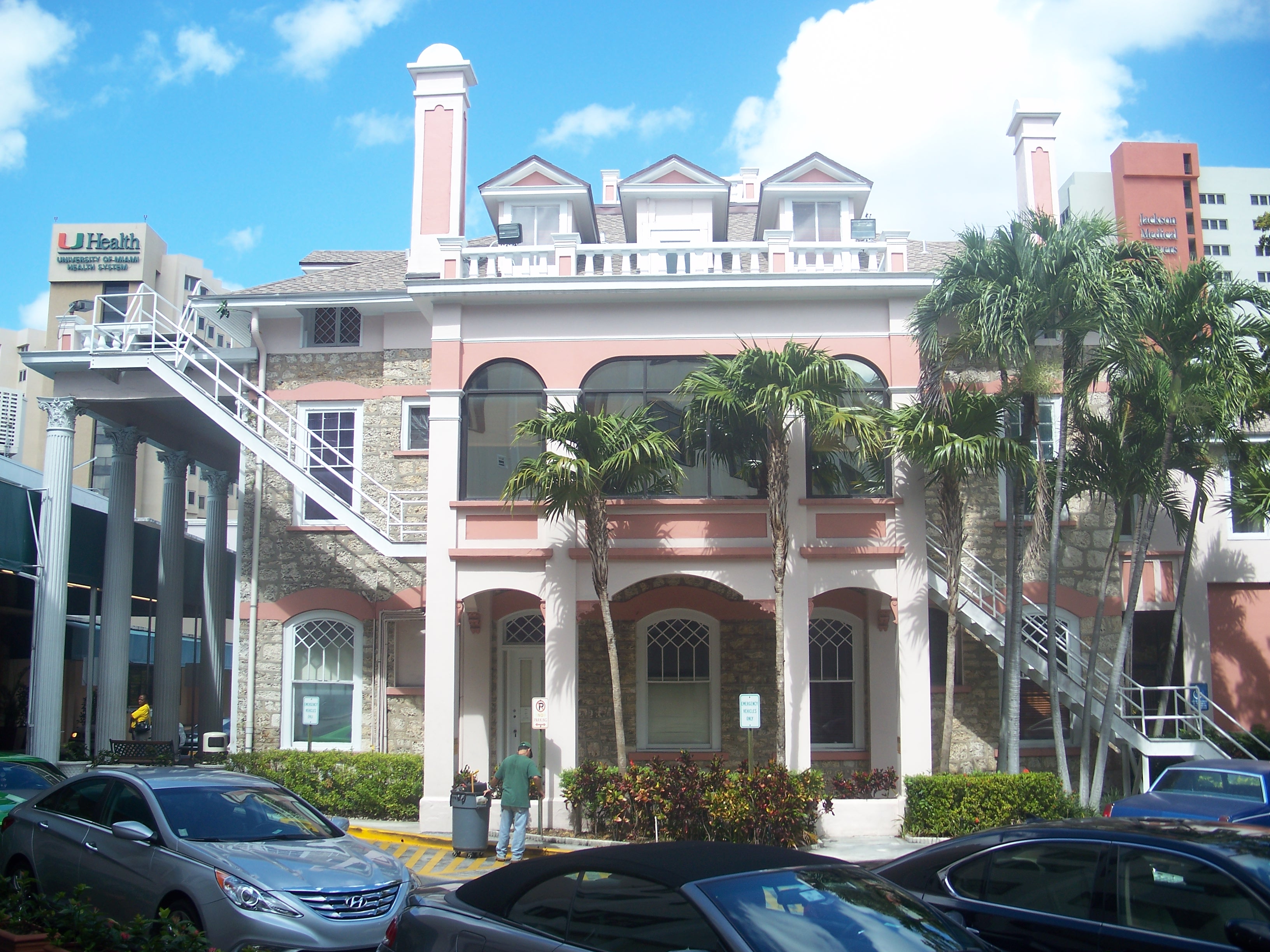
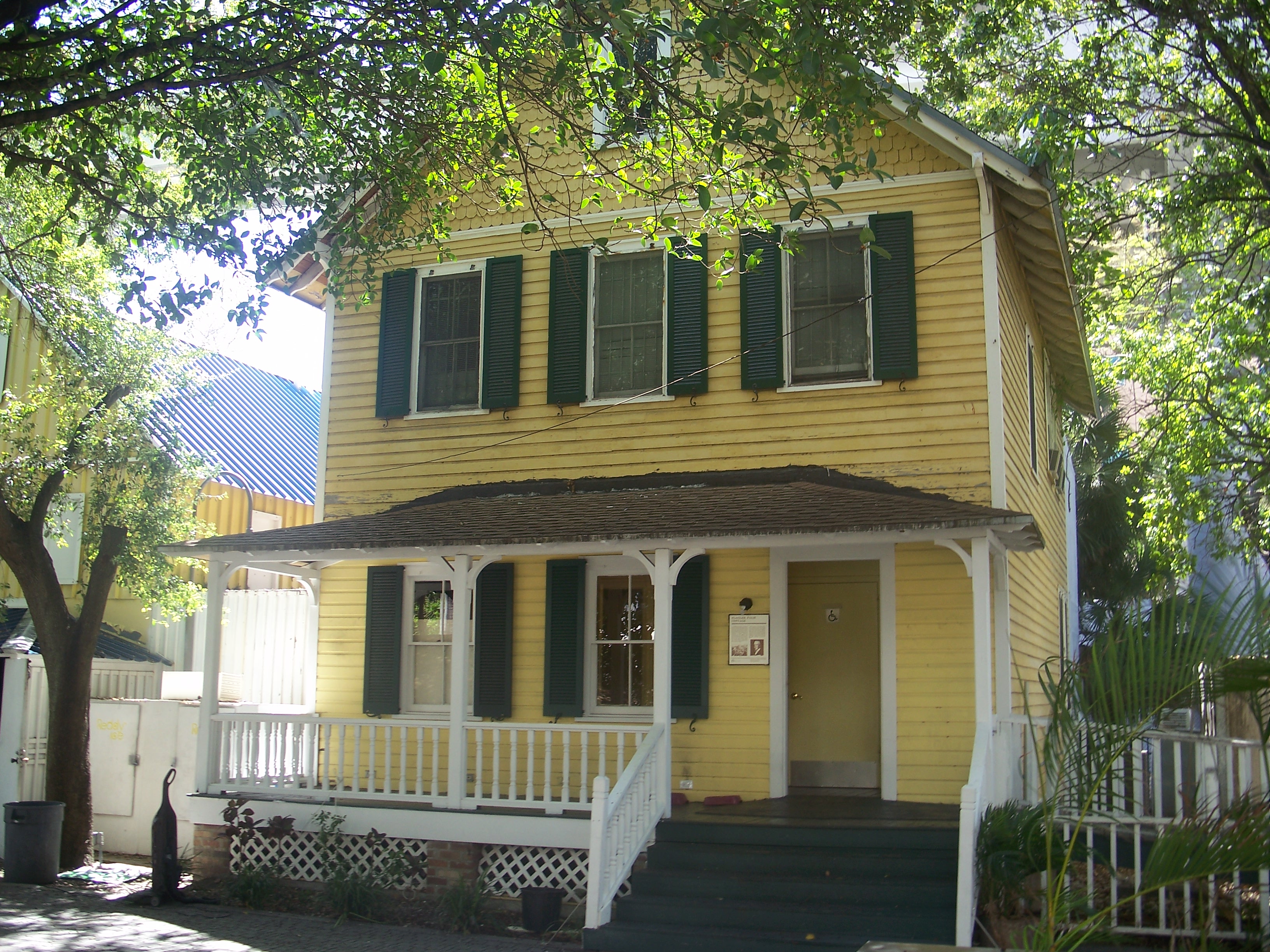
Dr. James M. Jackson Office |
 |
01975-02-24 February 24, 1975 |
190 Southeast 12th Terrace
25°45′39″N 80°11′25″W / 25.76083°N 80.19028°W / 25.76083; -80.19028 (Jackson, Dr. James M., Office) |
|
| 31 |
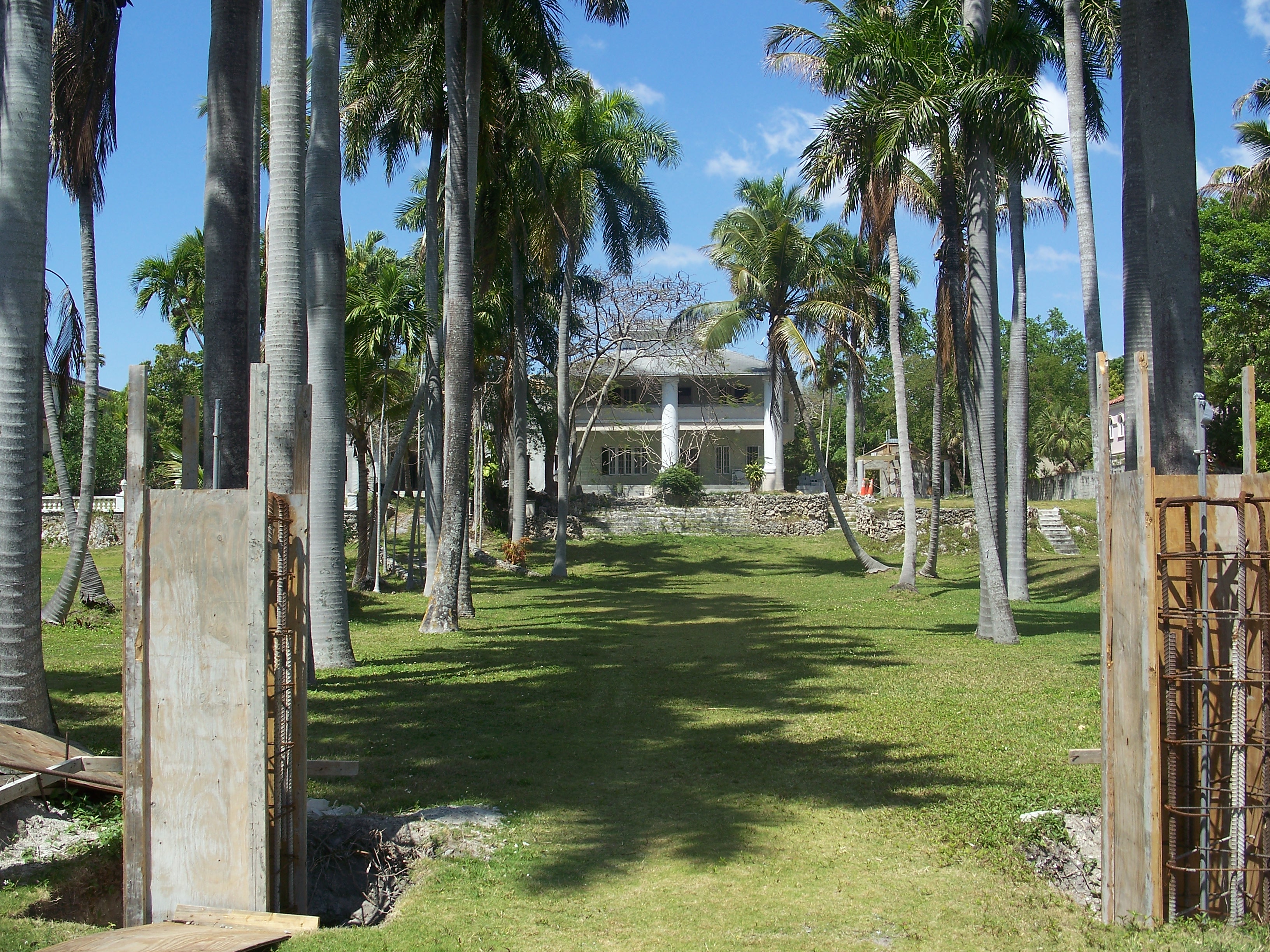
The Kampong |
 |
01984-03-01 March 1, 1984 |
Address Restricted
25°43′1″N 80°15′11″W / 25.71694°N 80.25306°W / 25.71694; -80.25306 (Kampong) |
|
| 32 |
Kentucky Home |
 |
01989-01-04 January 4, 1989 |
1221 and 1227 Northeast 1st Avenue
25°47′10″N 80°11′31″W / 25.78611°N 80.19194°W / 25.78611; -80.19194 (Kentucky Home) |
Part of the Downtown Miami MRA |
| 33 |
Lummus Park Historic District |
 |
02006-10-25 October 25, 2006 |
Roughly bounded by Northwest Second Street, Northwest Third Court, Northwest Fourth Street, and Northwest North River Drive |
|
| 34 |
Lyric Theater |
 |
01989-01-04 January 4, 1989 |
819 Northwest 2nd Avenue
25°46′55″N 80°11′53″W / 25.78194°N 80.19806°W / 25.78194; -80.19806 (Lyric Theater) |
Part of the Downtown Miami MRA |
| 35 |
Martina Apartments |
 |
01989-01-04 January 4, 1989 |
1023 South Miami Avenue
25°45′49″N 80°11′35″W / 25.76361°N 80.19306°W / 25.76361; -80.19306 (Martina Apartments) |
Part of the Downtown Miami MRA |
| 36 |
Meyer-Kiser Building |
 |
01989-01-04 January 4, 1989 |
139 Northeast 1st Building
25°46′30″N 80°11′29″W / 25.775°N 80.19139°W / 25.775; -80.19139 (Meyer-Kiser Building) |
Part of the Downtown Miami MRA |
| 37 |
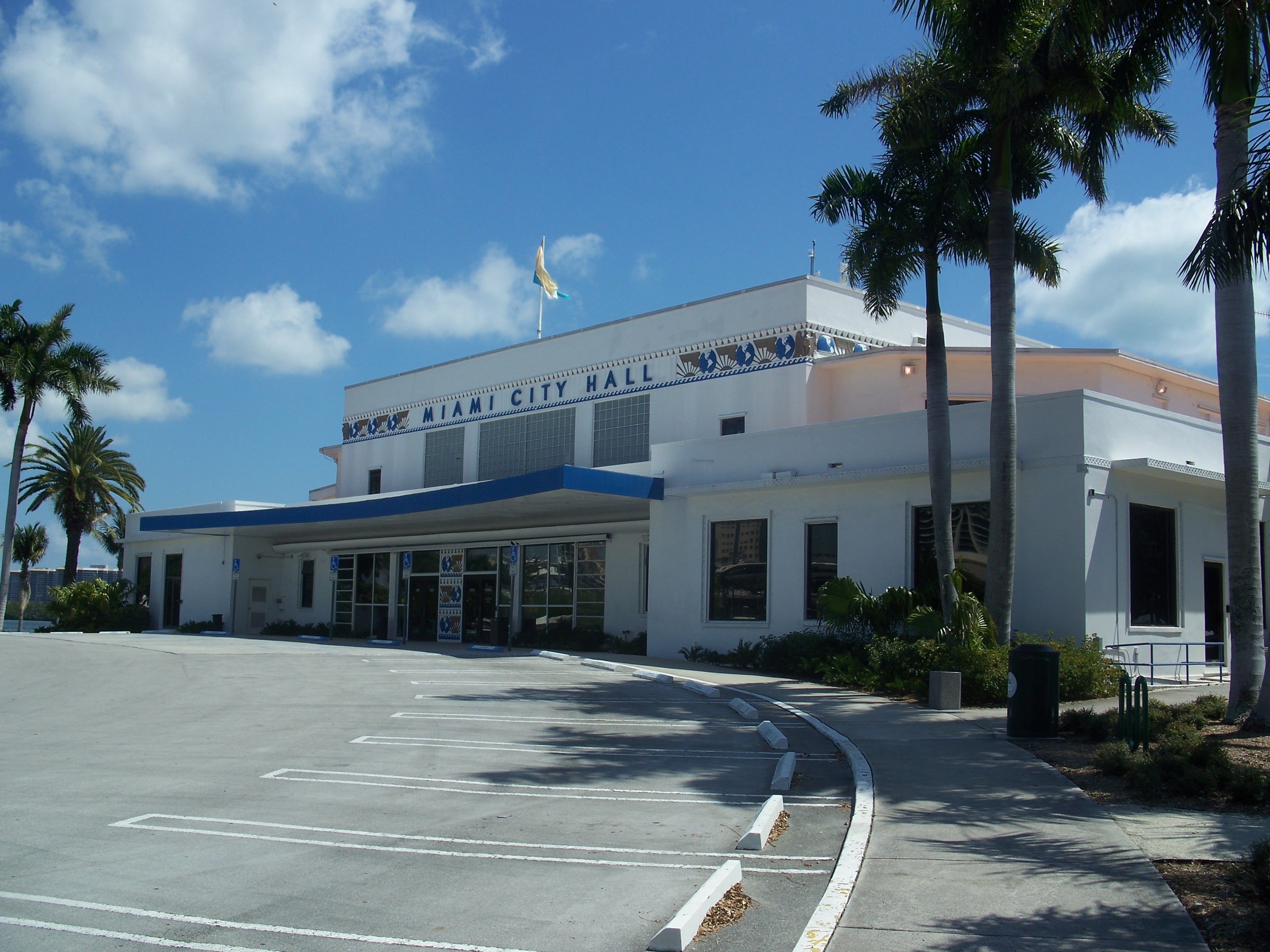
Miami City Hospital, Building No. 1 |
 |
01979-12-31 December 31, 1979 |
1611 Northwest 12th Avenue
25°47′29″N 80°12′45″W / 25.79139°N 80.2125°W / 25.79139; -80.2125 (Miami City Hospital, Building No. 1) |
|
| 38 |
Miami Edison Senior High School |
 |
01986-06-05 June 5, 1986 |
6101 Northwest Second Avenue
25°49′53″N 80°12′0″W / 25.83139°N 80.2°W / 25.83139; -80.2 (Miami Edison Senior High School) |
|
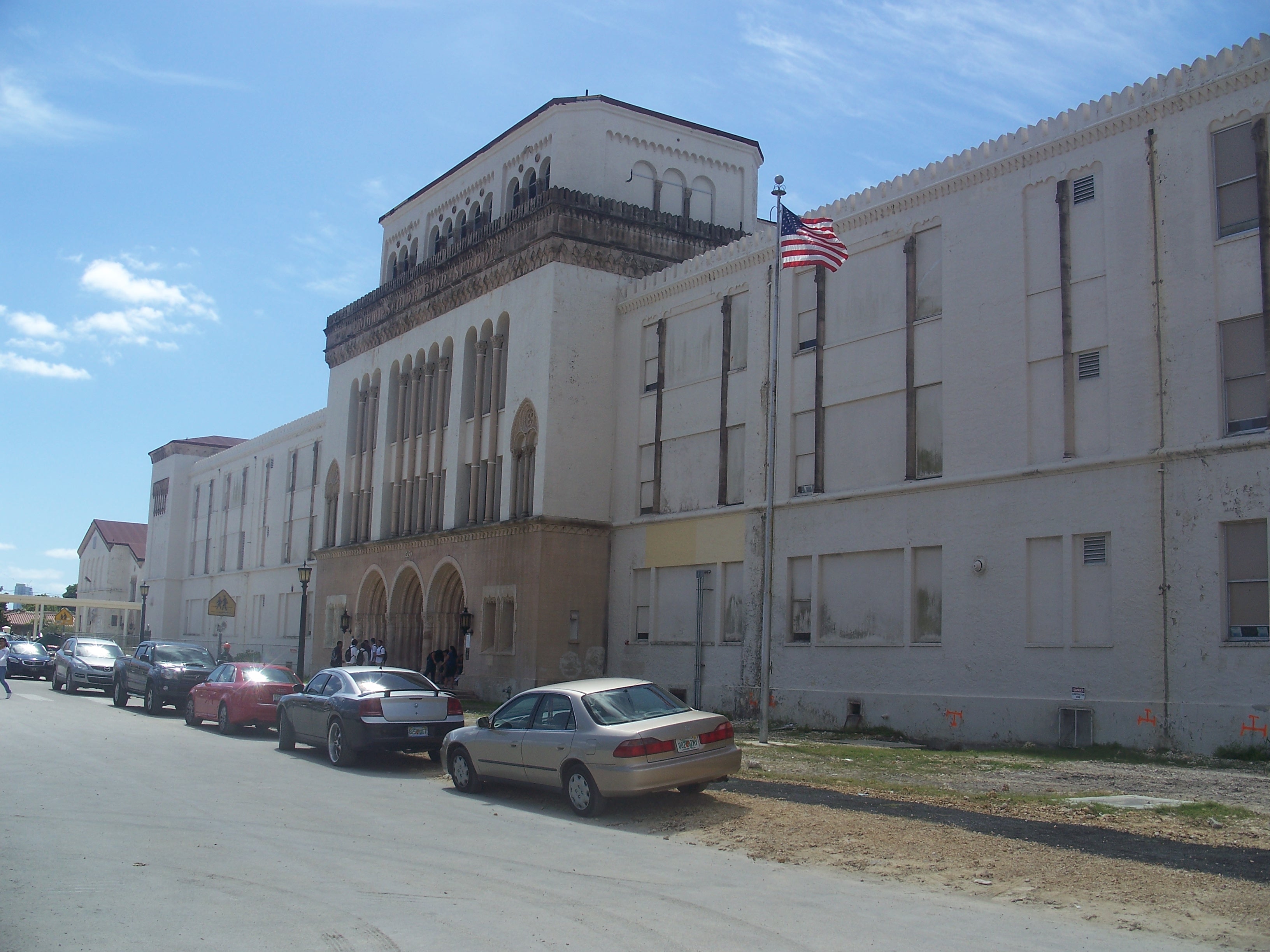
| 39 |
Miami Senior High School |
 |
01990-06-18 June 18, 1990 |
2450 Southwest First Street
25°46′17″N 80°14′10″W / 25.77139°N 80.23611°W / 25.77139; -80.23611 (Miami Senior High School) |
|
| 40 |
Miami Women's Club |
 |
01974-12-27 December 27, 1974 |
1737 North Bayshore Drive
25°47′30″N 80°11′10″W / 25.79167°N 80.18611°W / 25.79167; -80.18611 (Miami Women's Club) |
|
| 41 |
Mount Zion Baptist Church |
 |
01988-12-29 December 29, 1988 |
301 Northwest 9th Street
25°46′21″N 80°11′57″W / 25.7725°N 80.19917°W / 25.7725; -80.19917 (Mount Zion Baptist Church) |
Part of the Downtown Miami MRA |
| 42 |
Ralph M. Munroe House |
 |
01973-04-11 April 11, 1973 |
3485 Main Highway
25°43′28″N 80°14′33″W / 25.72444°N 80.2425°W / 25.72444; -80.2425 (Munroe, Ralph M., House) |
|
| 43 |
Old US Post Office and Courthouse |
 |
01989-01-04 January 4, 1989 |
100–118 Northeast 1st Avenue
25°46′31″N 80°11′33″W / 25.77528°N 80.1925°W / 25.77528; -80.1925 (Old US Post Office and Courthouse) |
Part of the Downtown Miami MRA |
| 44 |
Olympia Theater and Office Building |
 |
01984-03-08 March 8, 1984 |
174 East Flager Street
25°46′25″N 80°11′27″W / 25.77361°N 80.19083°W / 25.77361; -80.19083 (Olympia Theater and Office Building) |
|
| 45 |
Palm Cottage |
 |
01989-01-04 January 4, 1989 |
60 Southeast 4th Street
25°46′14″N 80°11′33″W / 25.77056°N 80.1925°W / 25.77056; -80.1925 (Palm Cottage) |
Part of the Downtown Miami MRA |
| 46 |
Pan American Seaplane Base and Terminal Building |
 |
01975-02-20 February 20, 1975 |
3500 Pan American Drive
25°43′40″N 80°14′3″W / 25.72778°N 80.23417°W / 25.72778; -80.23417 (Pan American Seaplane Base and Terminal Building) |
|
| 47 |
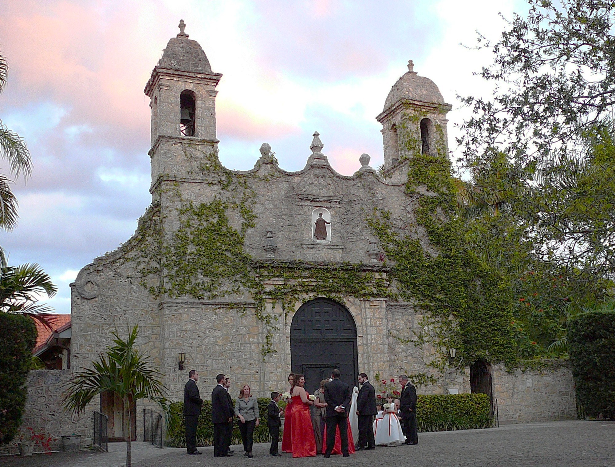
Plymouth Congregational Church |
 |
01974-07-23 July 23, 1974 |
3429 Devon Road
25°43′19″N 80°14′18″W / 25.72194°N 80.23833°W / 25.72194; -80.23833 (Plymouth Congregational Church) |
|
| 48 |
Priscilla Apartments |
|
01989-01-04 January 4, 1989 |
318–320 Northeast 19th Street and 1845 Biscayne Boulevard
25°47′39″N 80°11′20″W / 25.79417°N 80.18889°W / 25.79417; -80.18889 (Priscilla Apartments) |
Part of the Downtown Miami MRA |
| 49 |
Ransom School "Pagoda" |
 |
01973-07-25 July 25, 1973 |
3575 Main Highway
25°43′21″N 80°14′4″W / 25.7225°N 80.23444°W / 25.7225; -80.23444 (Ransom School "Pagoda") |
|
| 50 |
S & S Sandwich Shop |
|
01989-01-04 January 4, 1989 |
1757 Northeast 2nd Street
25°47′33″N 80°11′28″W / 25.7925°N 80.19111°W / 25.7925; -80.19111 (S & S Sandwich Shop) |
Part of the Downtown Miami MRA |
| 51 |
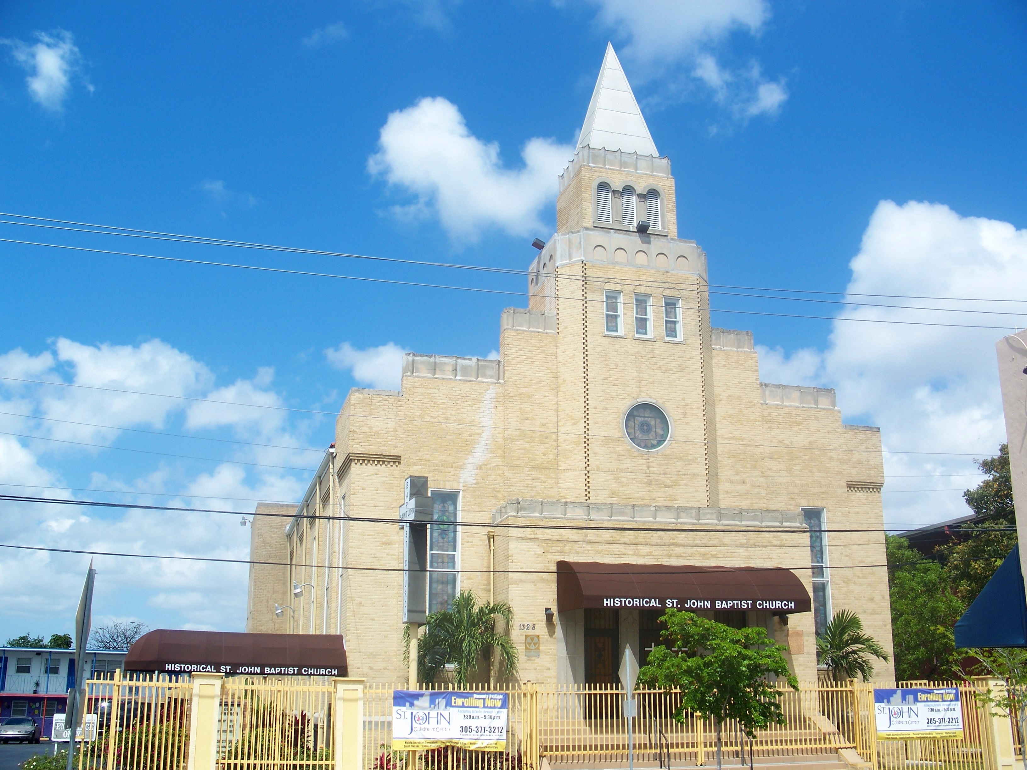
St. John's Baptist Church |
 |
01992-04-17 April 17, 1992 |
1328 Northwest 3rd Avenue
25°47′13″N 80°12′1″W / 25.78694°N 80.20028°W / 25.78694; -80.20028 (St. John's Baptist Church) |
Part of the Downtown Miami MRA |
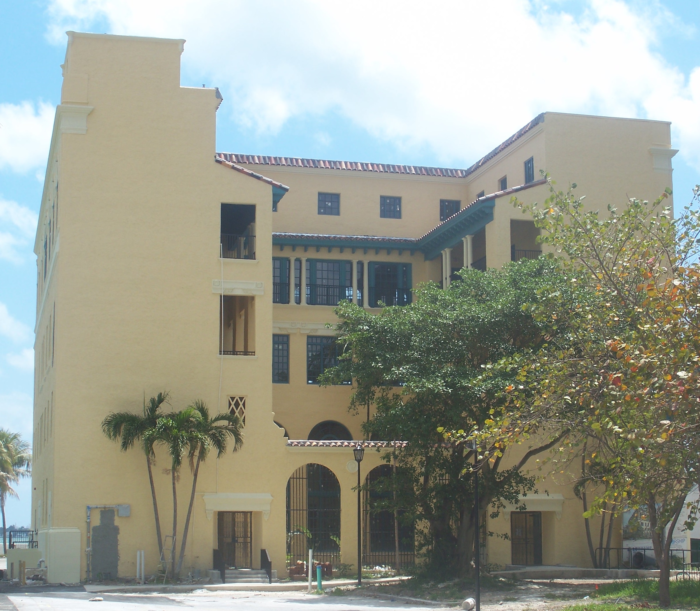
| 52 |
Sears, Roebuck and Company Department Store |
 |
01997-08-08 August 8, 1997 |
1300 Biscayne Boulevard
25°47′14″N 80°11′24″W / 25.78722°N 80.19°W / 25.78722; -80.19 (Sears, Roebuck and Company Department Store) |
Only a tower building survives, as part of Adrienne Arsht Center for the Performing Arts |
| 53 |
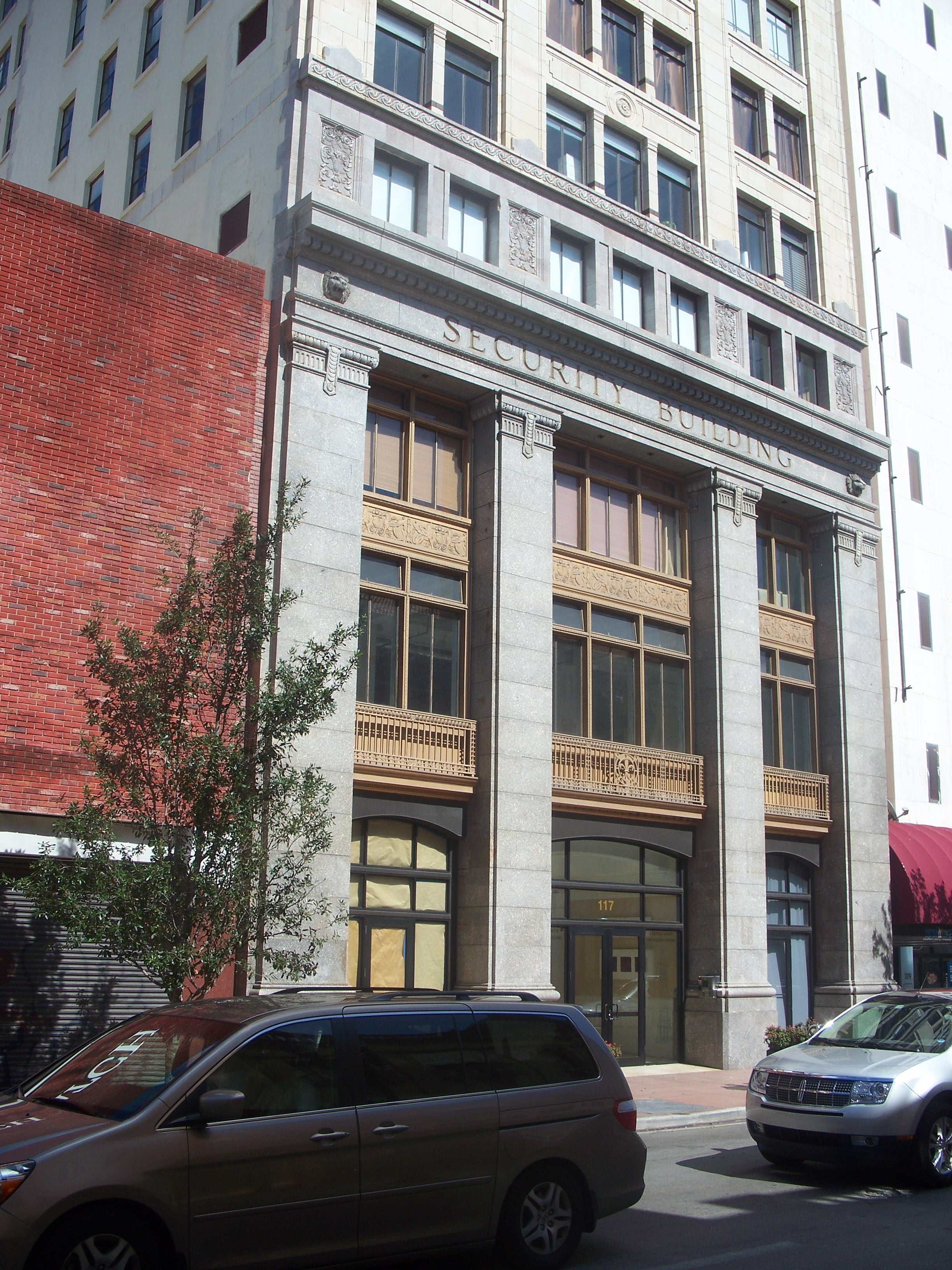
Security Building |
 |
01989-01-04 January 4, 1989 |
117 Northeast 1st Avenue
25°46′31″N 80°11′31″W / 25.77528°N 80.19194°W / 25.77528; -80.19194 (Security Building) |
Part of the Downtown Miami MRA |
| 54 |
Shoreland Arcade |
 |
01989-01-04 January 4, 1989 |
120 Northeast 1st Street
25°46′28″N 80°11′29″W / 25.77444°N 80.19139°W / 25.77444; -80.19139 (Shoreland Arcade) |
Part of the Downtown Miami MRA |
| 55 |
South River Drive Historic District |
 |
01987-08-10 August 10, 1987 |
428 and 438 Southwest First Street, 437 Southwest Second Street, and 104, 109, and 118 Southwest South River Drive
25°46′20″N 80°12′6″W / 25.77222°N 80.20167°W / 25.77222; -80.20167 (South River Drive Historic District) |
|
| 56 |
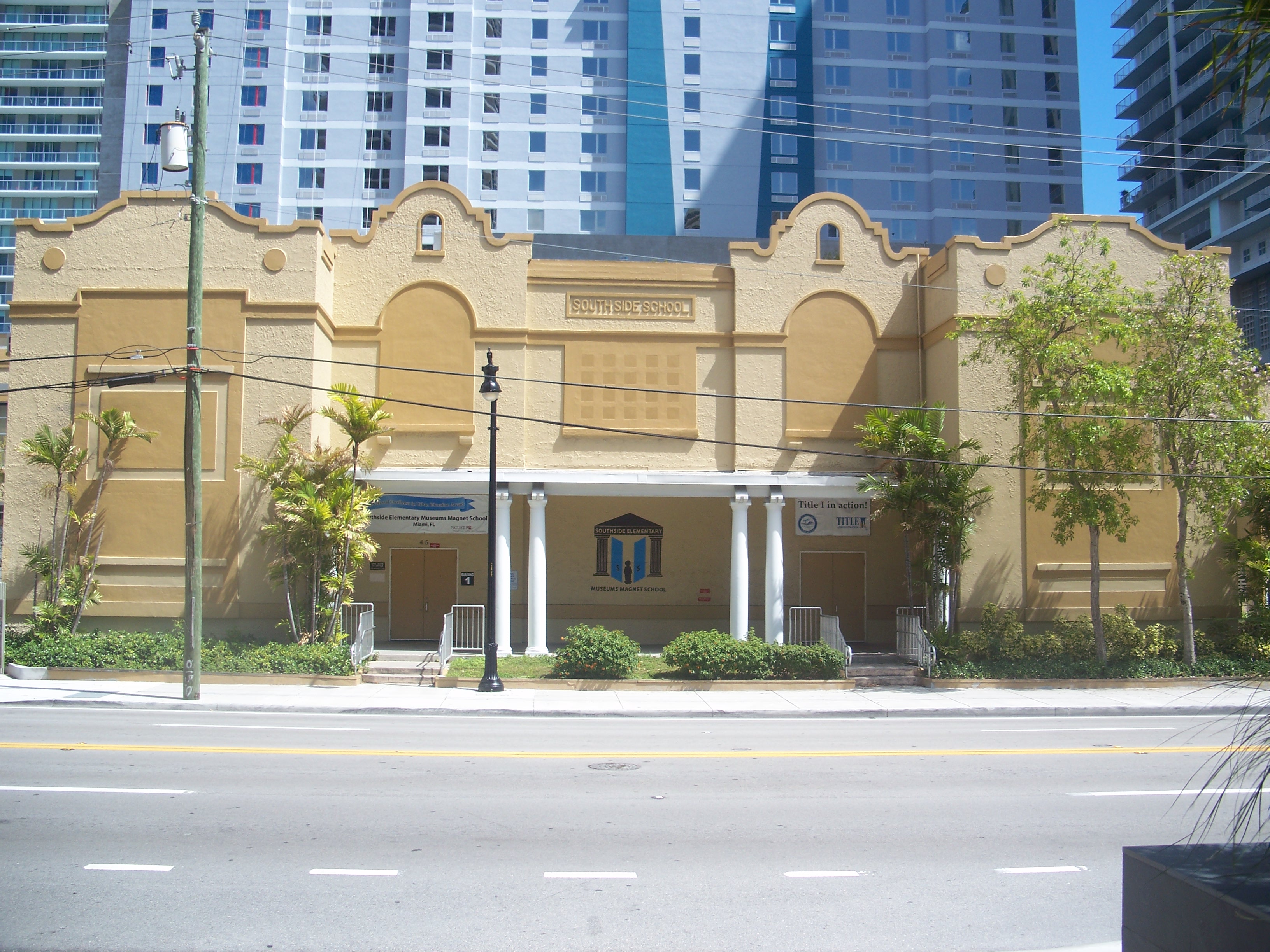
Southside School |
 |
01989-01-04 January 4, 1989 |
45 Southwest 13th Street
25°45′41″N 80°11′58″W / 25.76139°N 80.19944°W / 25.76139; -80.19944 (Southside School) |
Part of the Downtown Miami MRA |
| 57 |
Trapp Homestead |
 |
01994-11-10 November 10, 1994 |
2521 South Bayshore Drive
25°44′1″N 80°14′17″W / 25.73361°N 80.23806°W / 25.73361; -80.23806 (Trapp Homestead) |
|
| 58 |
Trinity Episcopal Cathedral |
 |
01980-10-10 October 10, 1980 |
464 Northeast 16th Street
25°47′24″N 80°11′12″W / 25.79°N 80.18667°W / 25.79; -80.18667 (Trinity Episcopal Cathedral) |
|
| 59 |
U.S. Car. No. 1 |
 |
01977-08-24 August 24, 1977 |
3398 Southwest 9th Avenue
26°4′52″N 80°9′6″W / 26.08111°N 80.15167°W / 26.08111; -80.15167 (U.S. Car. No. 1) |
|
| 60 |
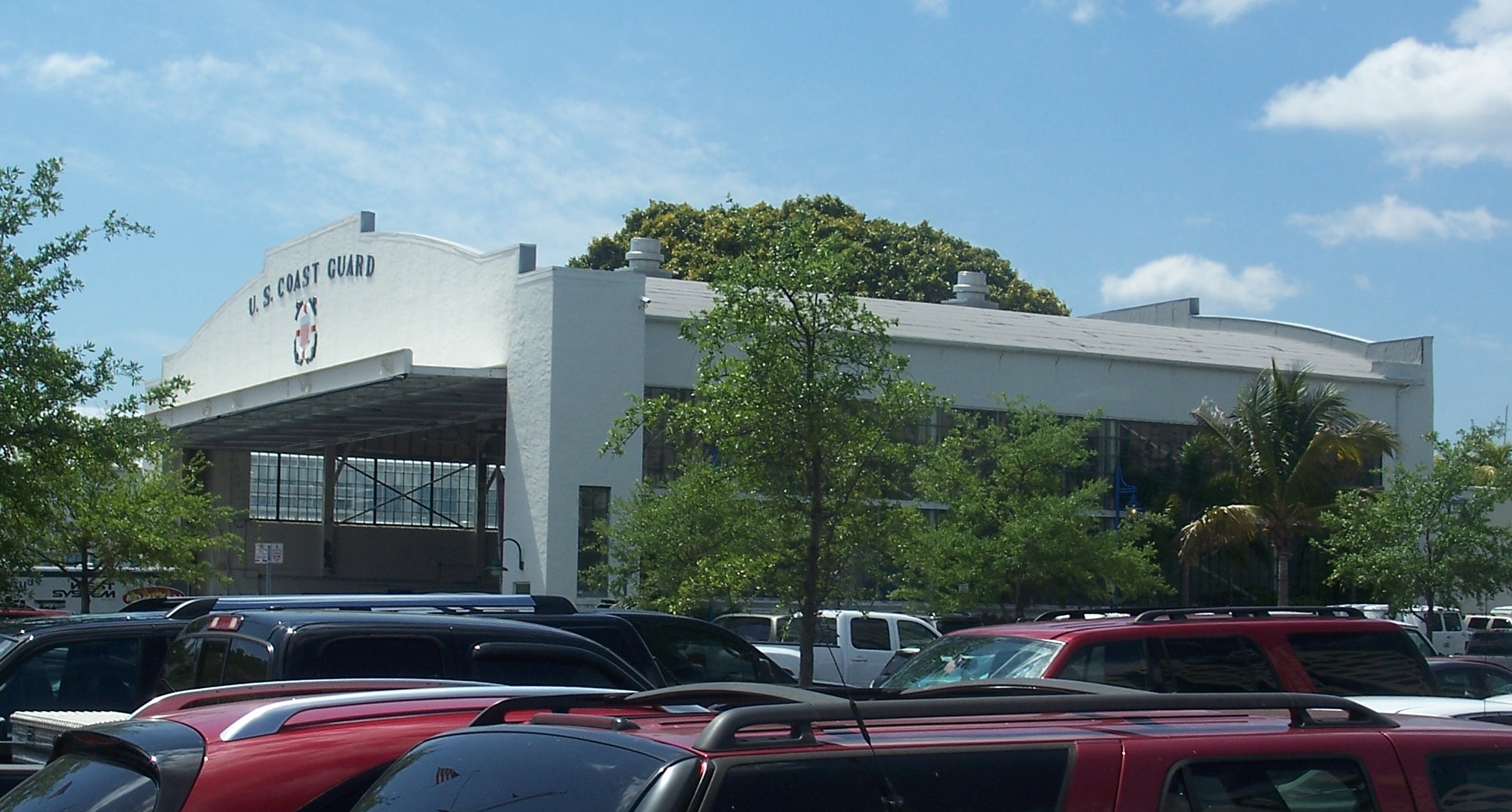
US Coast Guard Air Station at Dinner Key |
 |
02002-12-19 December 19, 2002 |
2600 South Bayshore Drive
25°43′51″N 80°14′4″W / 25.73083°N 80.23444°W / 25.73083; -80.23444 (US Coast Guard Air Station Hangar at Dinner Key) |
|
| 61 |
US Post Office and Courthouse |
 |
01983-10-14 October 14, 1983 |
300 Northeast 1st Avenue
25°46′38″N 80°11′34″W / 25.77722°N 80.19278°W / 25.77722; -80.19278 (US Post Office and Courthouse) |
|
| 62 |
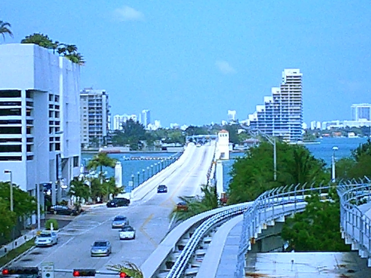
Venetian Causeway |
 |
01989-07-13 July 13, 1989 |
Northeast 15th Street and Dade Boulevard
25°47′21″N 80°11′21″W / 25.78917°N 80.18917°W / 25.78917; -80.18917 (Venetian Causeway) |
Extends into Miami Beach, elsewhere in Miami-Dade County |
| 63 |
Virginia Key Beach Park |
 |
02002-06-28 June 28, 2002 |
East of Biscayne Bay and north of the Rickenbacker Causeway
25°44′2″N 80°9′43″W / 25.73389°N 80.16194°W / 25.73389; -80.16194 (Virginia Key Beach Park) |
|
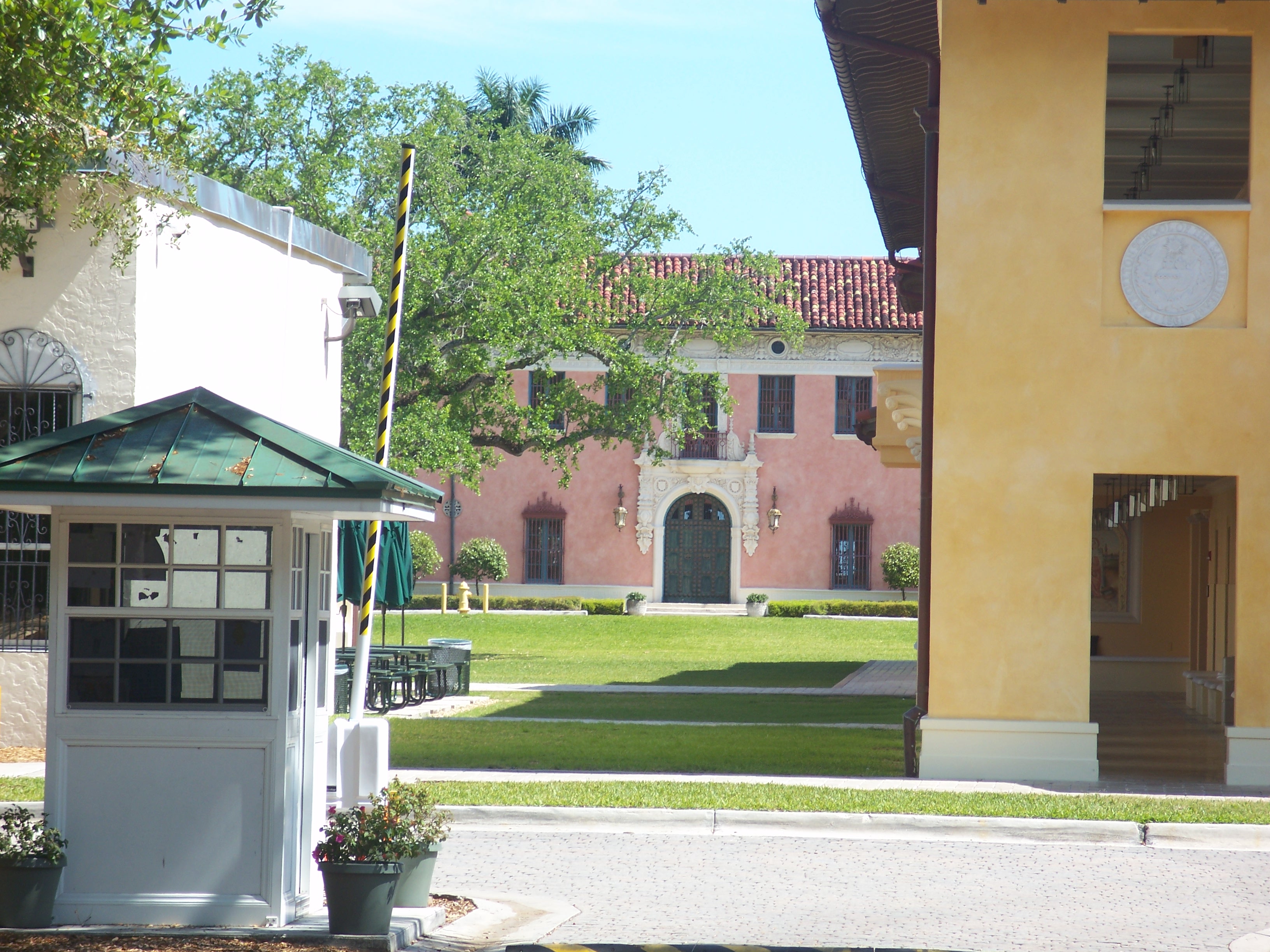
| 64 |
Vizcaya |
 |
01970-09-29 September 29, 1970 |
3251 South Miami Avenue; also roughly bounded by South Dixie Highway, Southwest 32nd Road, and South Miami Avenue
25°44′37″N 80°12′37″W / 25.74361°N 80.21028°W / 25.74361; -80.21028 (Vizcaya) |
|
| 65 |
Walgreen Drug Store |
 |
01989-01-04 January 4, 1989 |
200 East Flagler Street
25°46′29″N 80°11′25″W / 25.77472°N 80.19028°W / 25.77472; -80.19028 (Walgreen Drug Store) |
Part of the Downtown Miami MRA |
| 66 |
J. W. Warner House |
 |
01983-06-01 June 1, 1983 |
111 Southwest 5th Avenue
25°46′24″N 80°12′10″W / 25.77333°N 80.20278°W / 25.77333; -80.20278 (Warner, J. W., House) |
|
| 67 |
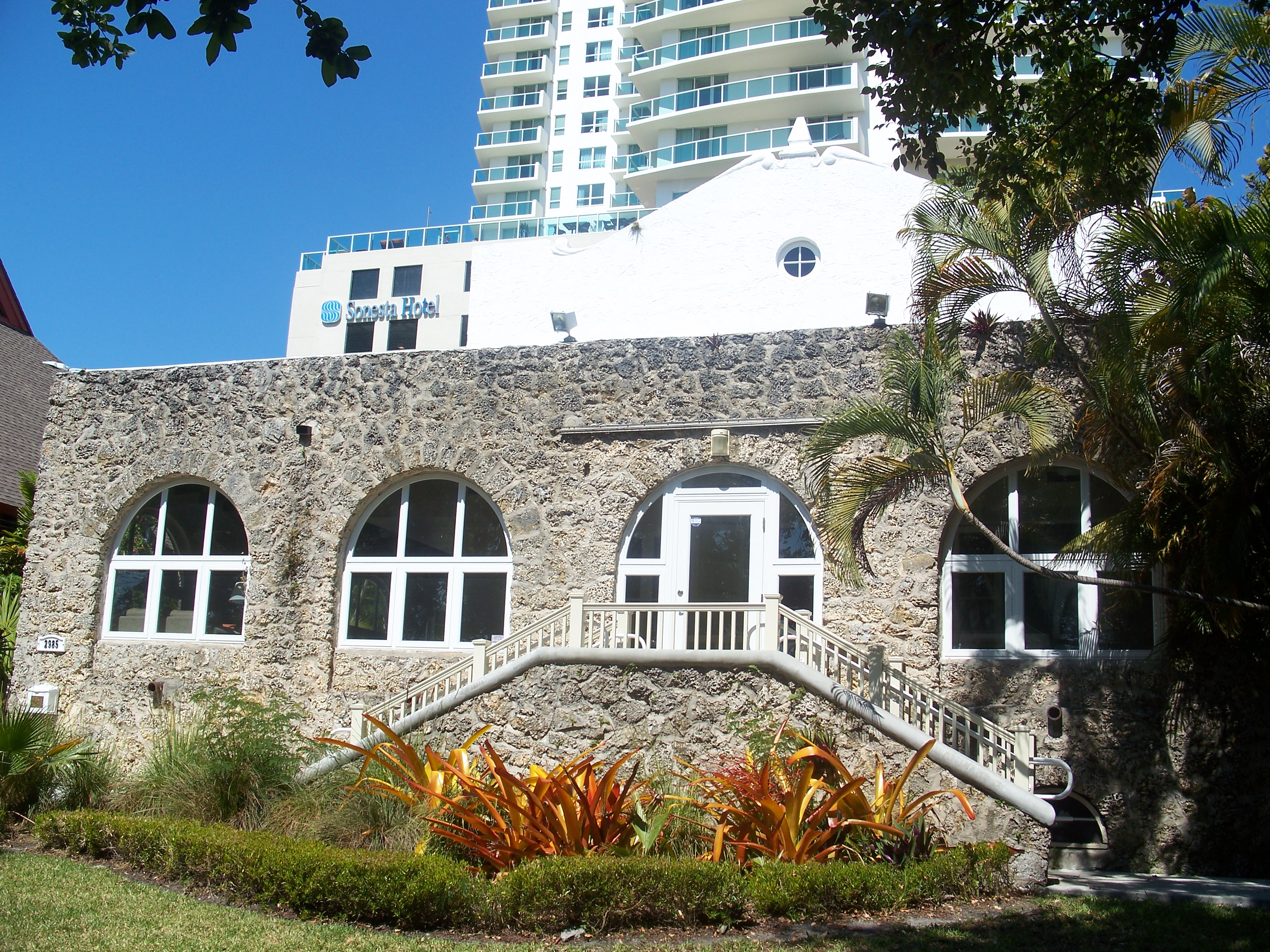
Women's Club of Coconut Grove |
 |
01975-03-26 March 26, 1975 |
2985 South Bayshore Drive
25°43′37″N 80°14′24″W / 25.72694°N 80.24°W / 25.72694; -80.24 (Women's Club of Coconut Grove) |
|
The following property was determined to be eligible for listing. However, the owner objected.
 Location of Miami in Florida