National Register of Historic Places listings in Jefferson County, Florida
- National Register of Historic Places listings in Jefferson County, Florida
-

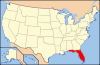
Location of Jefferson County in Florida
This is a list of the National Register of Historic Places listings in Jefferson County, Florida.
This is intended to be a complete list of the properties and districts on the National Register of Historic Places in Jefferson County, Florida, United States. The locations of National Register properties and districts for which the latitude and longitude coordinates are included below, may be seen in a Google map.[1]
There are 21 properties and districts listed on the National Register in the county.
-
- This National Park Service list is complete through NPS recent listings posted November 10, 2011.[2]
Current listings
| [3] |
Landmark name [4] |
Image |
Date listed |
Location |
City or town |
Summary |
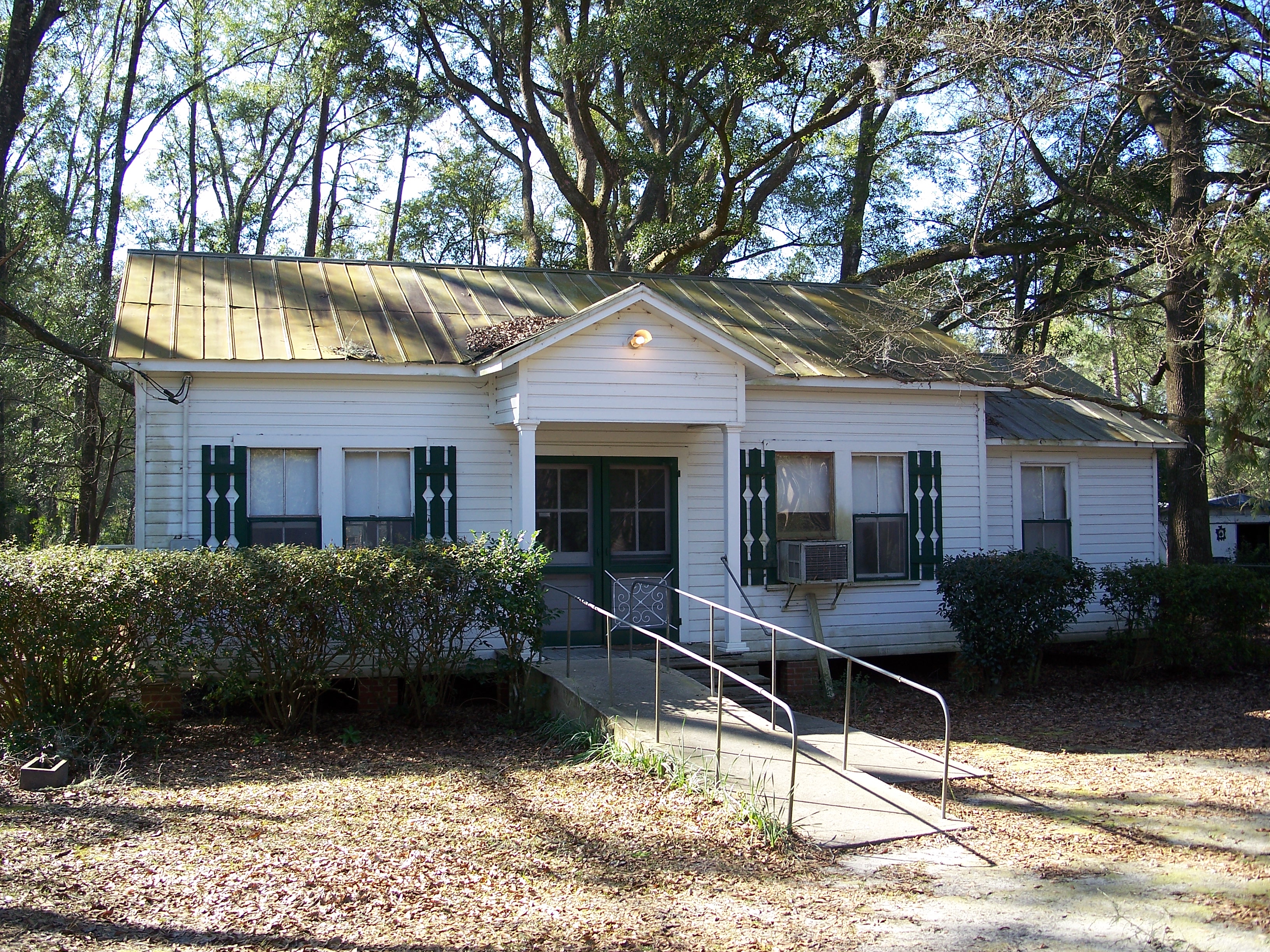
| 1 |
Bethel School |
|
02001-10-12October 12, 2001 |
County Road 149
30°36′49″N 83°50′16″W / 30.613611°N 83.837778°W / 30.613611; -83.837778 (Bethel School) |
Monticello |
|
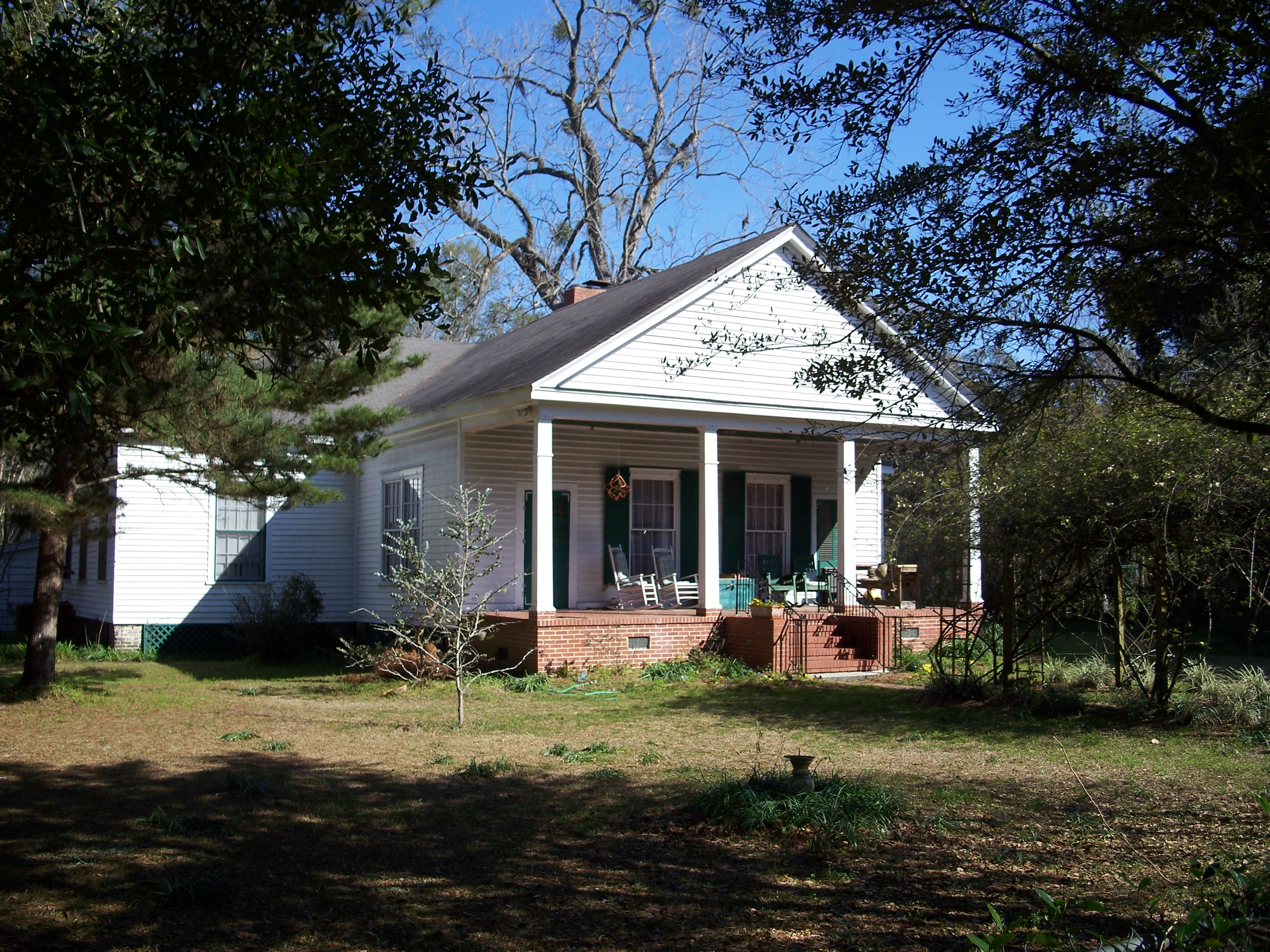
| 2 |
Denham-Lacy House |
|
01982-05-06May 6, 1982 |
555 Palmer Mill Road
30°32′36″N 83°52′25″W / 30.543333°N 83.873611°W / 30.543333; -83.873611 (Denham-Lacy House) |
Monticello |
|
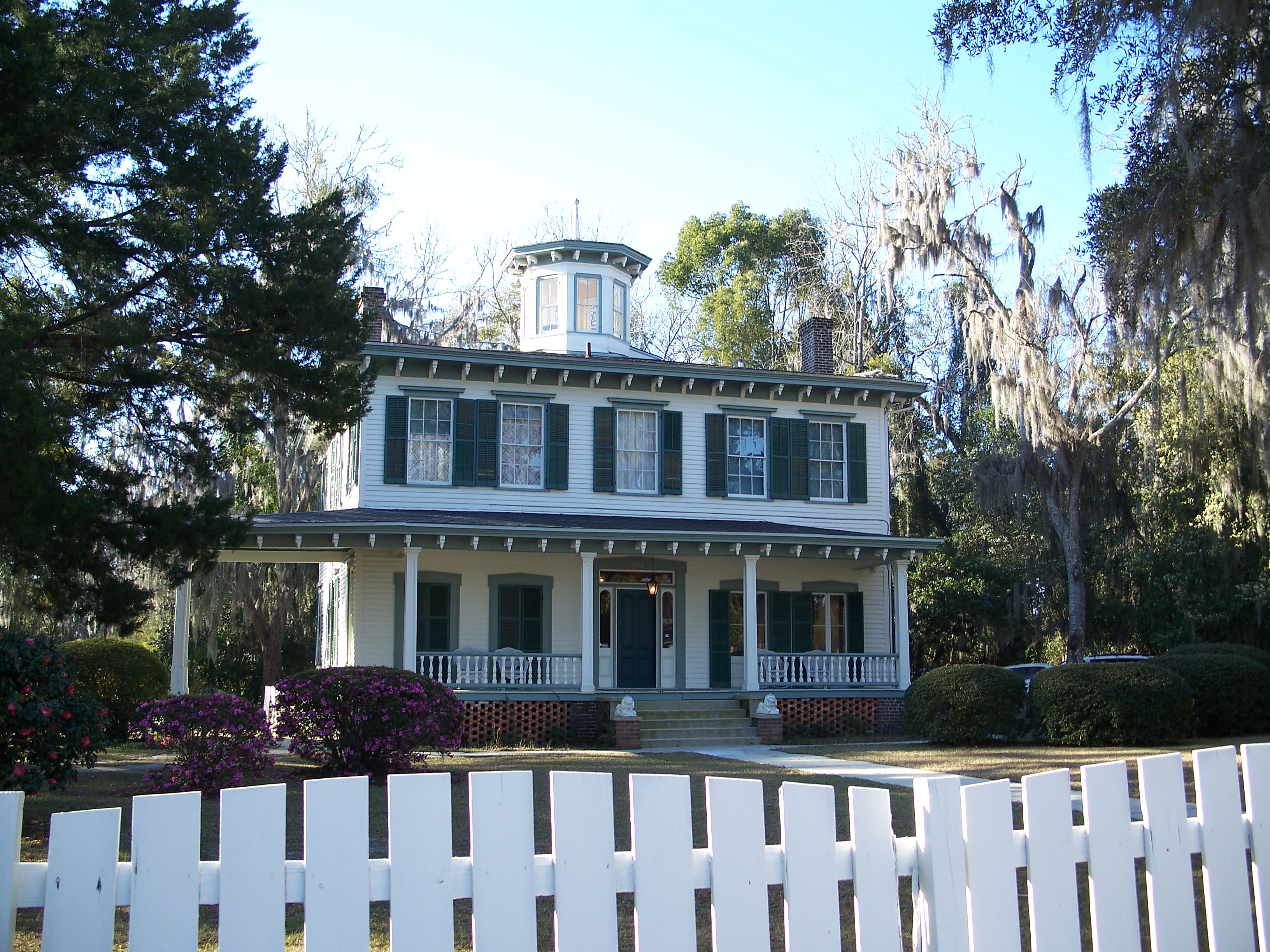
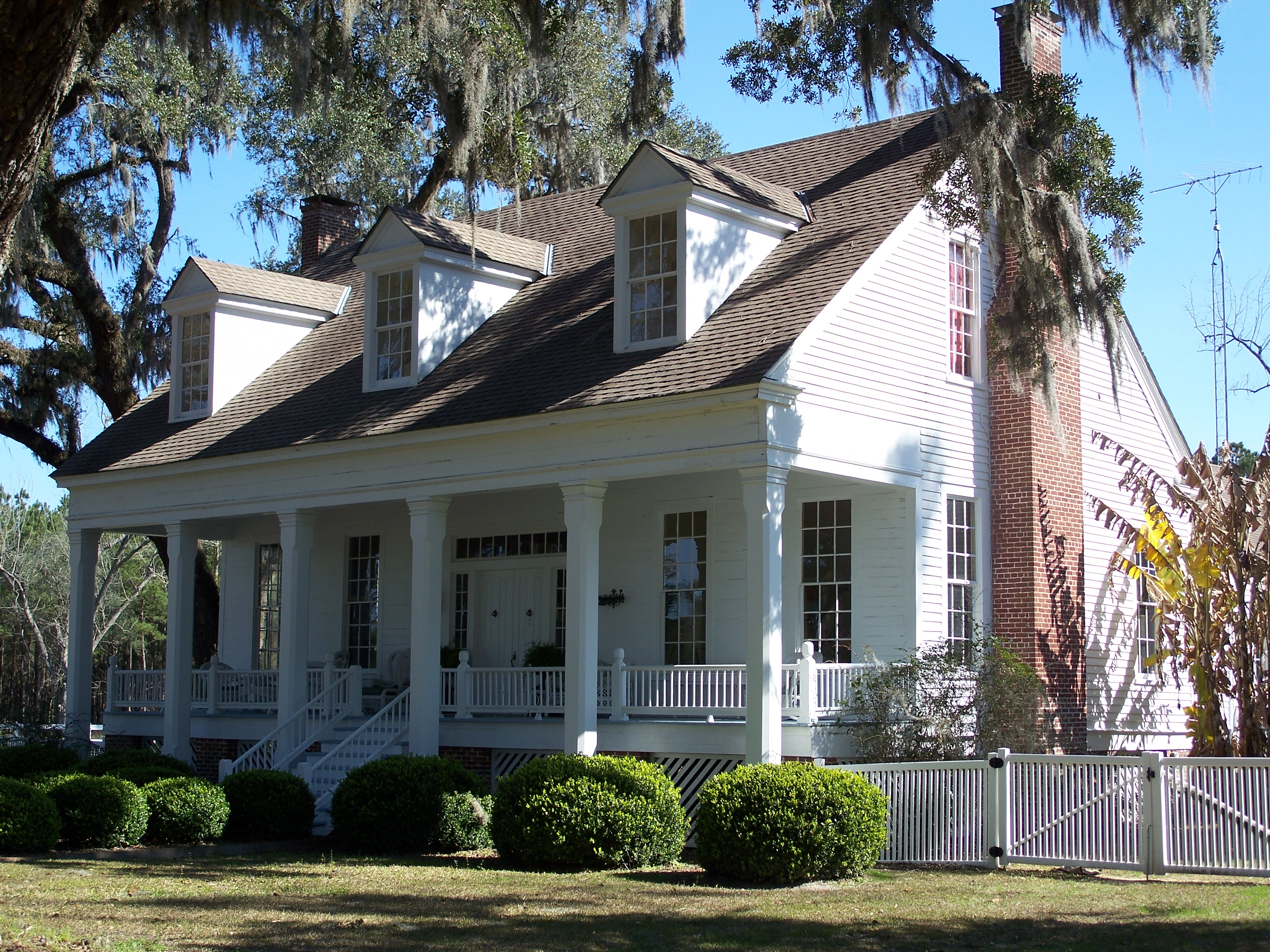
| 3 |
Dennis-Coxetter House |
|
01988-10-20October 20, 1988 |
Junction of State Roads 59 and 158
30°28′41″N 84°01′23″W / 30.478056°N 84.023056°W / 30.478056; -84.023056 (Dennis-Coxetter House) |
Lloyd |
|
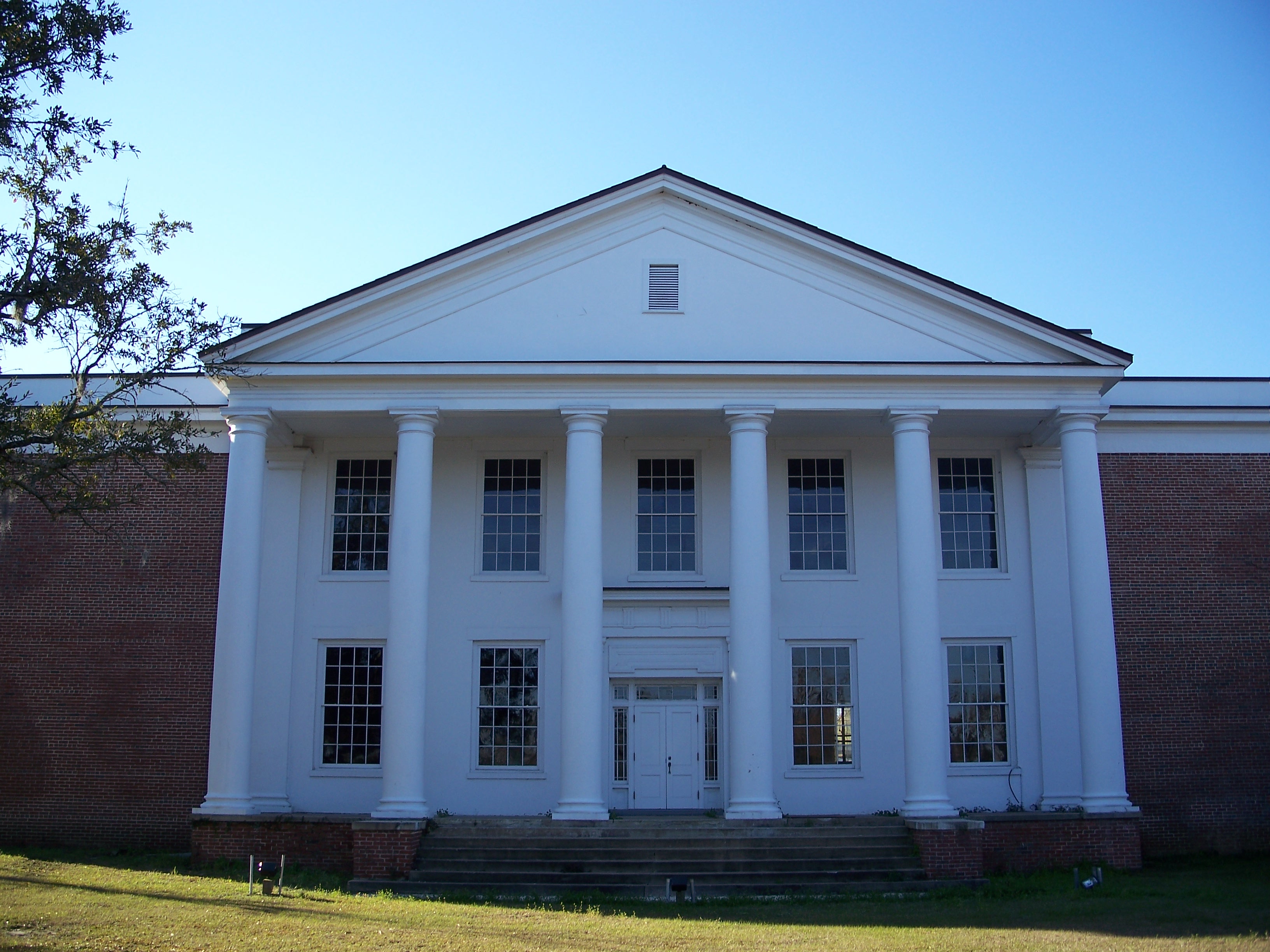
| 4 |
Girardeau House |
|
02011-06-30June 30, 2011 |
950 East Washington Street
30°32′44″N 83°51′42″W / 30.545556°N 83.861667°W / 30.545556; -83.861667 (Girardeau House) |
Monticello |
|
| 5 |
Letchworth Mounds Archaeological Site |
|
02010-12-15December 15, 2010 |
4500 Sunray Road
30°31′19″N 83°59′26″W / 30.521944°N 83.990556°W / 30.521944; -83.990556 (Letchworth Mounds Archaeological Site) |
Tallahassee vicinity |
|
| 6 |
Lloyd Historic District |
|
01991-09-05September 5, 1991 |
Roughly Main Street north of Bond Street and Bond east of Main
30°28′43″N 84°01′25″W / 30.478611°N 84.023611°W / 30.478611; -84.023611 (Lloyd Historic District) |
Lloyd |
|
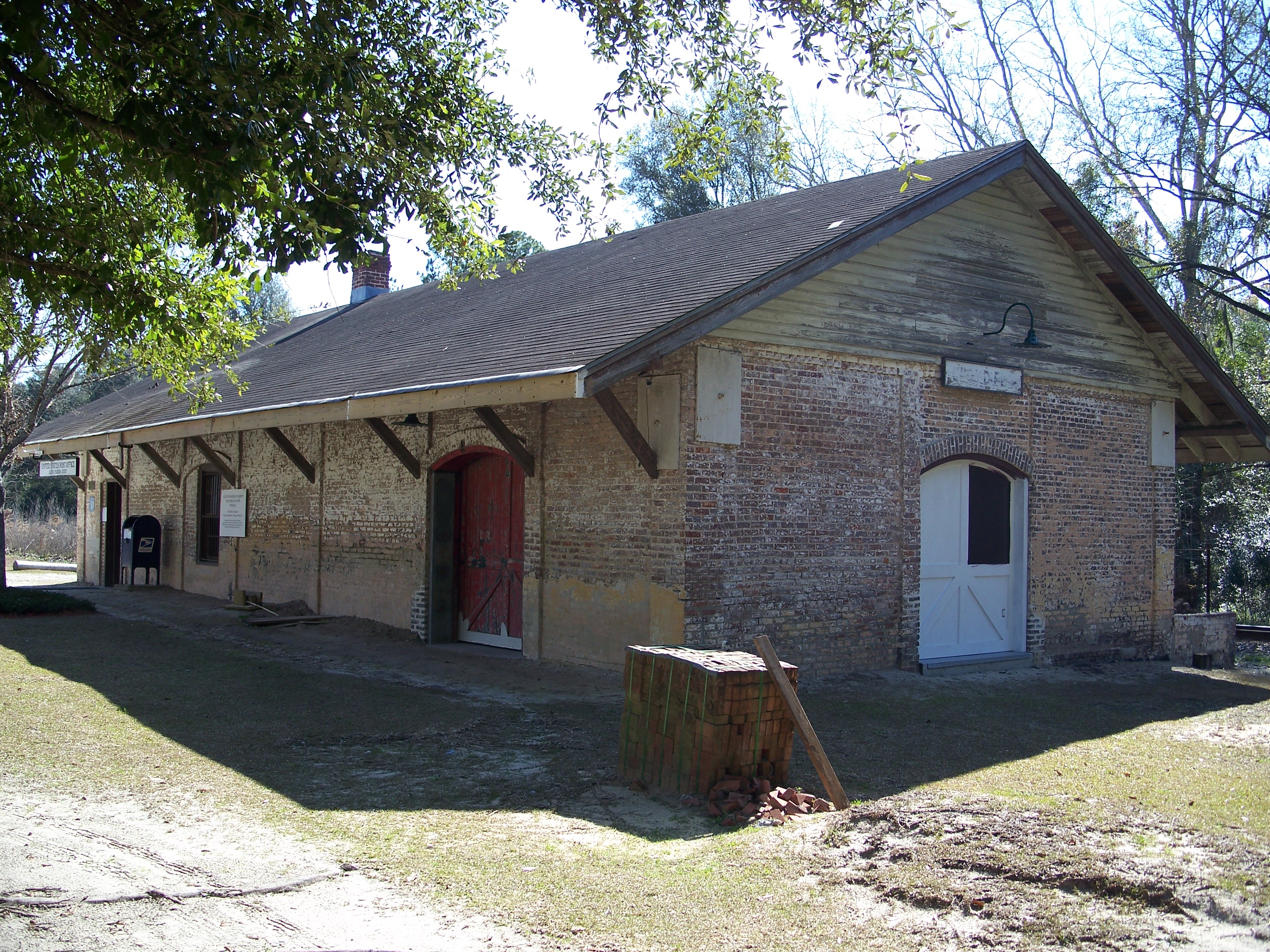
| 7 |
Lloyd Railroad Depot |
|
01974-12-02December 2, 1974 |
Near the junction of State Road 59 and Lester Lawrence Road
30°28′40″N 84°01′19″W / 30.477778°N 84.021944°W / 30.477778; -84.021944 (Lloyd Railroad Depot) |
Lloyd |
|
| 8 |
Lloyd Woman's Club |
|
01998-08-10August 10, 1998 |
Bond Street
30°28′39″N 84°01′38″W / 30.4775°N 84.027222°W / 30.4775; -84.027222 (Lloyd Woman's Club) |
Lloyd |
Part of the Clubhouses of Florida's Woman's Clubs MPS |
| 9 |
Lloyd-Bond House |
|
01984-11-01November 1, 1984 |
Bond Street
30°28′41″N 84°01′24″W / 30.478056°N 84.023333°W / 30.478056; -84.023333 (Lloyd-Bond House) |
Lloyd |
|
| 10 |
Lyndhurst Plantation |
|
01973-04-02April 2, 1973 |
15 miles (24 km) northeast of Monticello off Ashville Road
30°35′15″N 83°39′11″W / 30.5875°N 83.653056°W / 30.5875; -83.653056 (Lyndhurst Plantation) |
Monticello |
|
| 11 |
Asa May House |
|
01972-12-15December 15, 1972 |
North of the junction of U.S. Routes 19 and 27
30°24′52″N 83°54′40″W / 30.414444°N 83.911111°W / 30.414444; -83.911111 (Asa May House) |
Capps |
|
| 12 |
Monticello High School |
|
01999-03-25March 25, 1999 |
425 West Washington Street
30°32′40″N 83°52′31″W / 30.544444°N 83.875278°W / 30.544444; -83.875278 (Monticello High School) |
Monticello |
|
| 13 |
Monticello Historic District |
|
01977-08-19August 19, 1977 |
Irregular pattern along Madison, Jefferson, Dogwood, and Washington Streets
30°32′43″N 83°52′05″W / 30.545278°N 83.868056°W / 30.545278; -83.868056 (Monticello Historic District) |
Monticello |
|
| 14 |
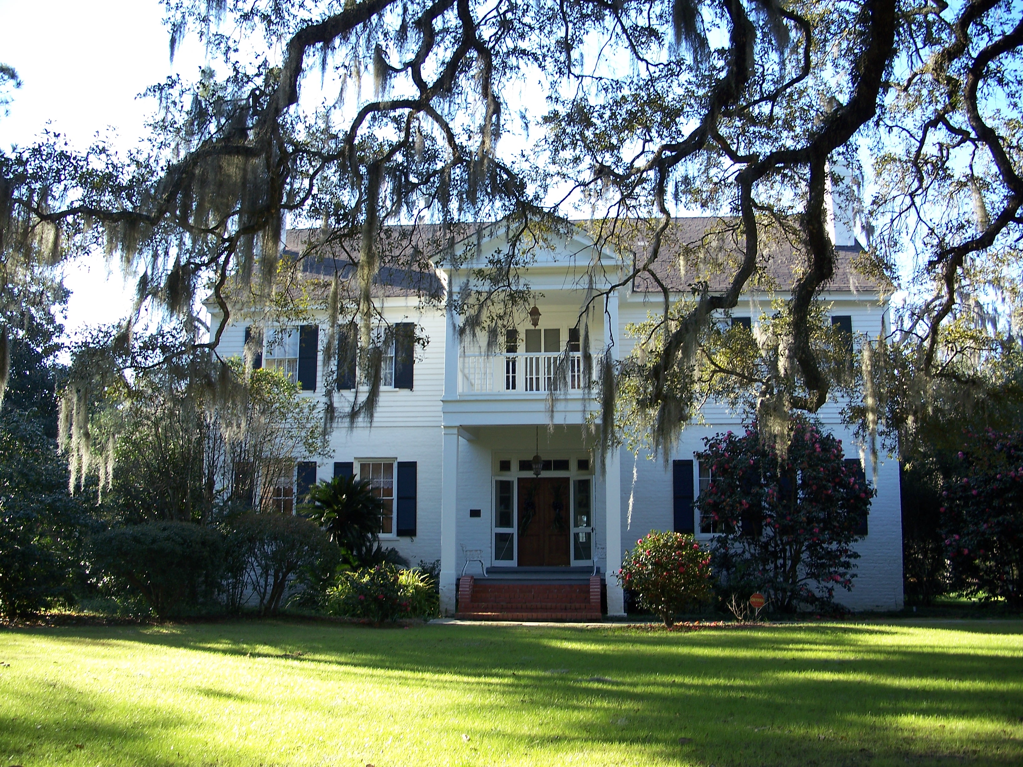
Palmer House |
|
01978-11-21November 21, 1978 |
Palmer Mill Road and South Jefferson Street
30°32′37″N 83°52′16″W / 30.543611°N 83.871111°W / 30.543611; -83.871111 (Palmer House) |
Monticello |
|
| 15 |
Palmer-Perkins House |
|
01979-07-10July 10, 1979 |
625 West Palmer Mill Road; also Walnut Street
30°32′38″N 83°52′30″W / 30.543889°N 83.875°W / 30.543889; -83.875 (Palmer-Perkins House) |
Monticello |
Walnut represents a boundary increase |
| 16 |
Perkins Opera House |
|
01972-09-14September 14, 1972 |
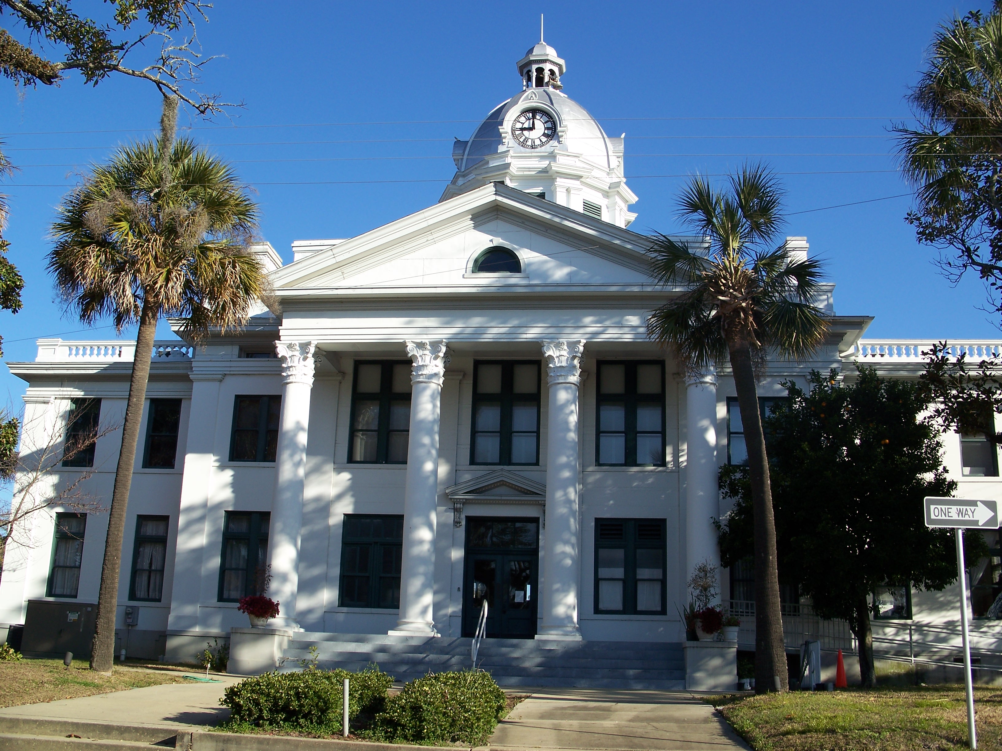
Washington Street and Courthouse Square
30°32′41″N 83°52′15″W / 30.544722°N 83.870833°W / 30.544722; -83.870833 (Perkins Opera House) |
Monticello |
|
| 17 |
San Joseph de Ocuya Site |
|
01973-05-07May 7, 1973 |
Address Restricted
|
Lloyd |
|
| 18 |
San Juan De Aspalaga Site |
|
01973-05-07May 7, 1973 |
Address Restricted
|
Wacissa |
|
| 19 |
San Miguel de Asile Mission Site |
|
01974-12-17December 17, 1974 |
Address Restricted
|
Lamont |
|
| 20 |
Turnbull-Ritter House |
|
01979-07-18July 18, 1979 |
Northwest of Lamont off U.S. Route 19
30°28′28″N 83°54′18″W / 30.474444°N 83.905°W / 30.474444; -83.905 (Turnbull-Ritter House) |
Lamont |
|
| 21 |
Wirick-Simmons House |
|
01972-06-30June 30, 1972 |
Jefferson and Pearl Streets
30°32′46″N 83°52′12″W / 30.546111°N 83.87°W / 30.546111; -83.87 (Wirick-Simmons House) |
Monticello |
|
See also
References
- ^ The latitude and longitude information provided in this table was derived originally from the National Register Information System, which has been found to be fairly accurate for about 99% of listings. For about 1% of NRIS original coordinates, experience has shown that one or both coordinates are typos or otherwise extremely far off; some corrections may have been made. A more subtle problem causes many locations to be off by up to 150 yards, depending on location in the country: most NRIS coordinates were derived from tracing out latitude and longitudes off of USGS topographical quadrant maps created under the North American Datum of 1927, which differs from the current, highly accurate WGS84 GPS system used by Google maps. Chicago is about right, but NRIS longitudes in Washington are higher by about 4.5 seconds, and are lower by about 2.0 seconds in Maine. Latitudes differ by about 1.0 second in Florida. Some locations in this table may have been corrected to current GPS standards.
- ^ "National Register of Historic Places: Weekly List Actions". National Park Service, United States Department of the Interior. Retrieved on November 10, 2011.
- ^ Numbers represent an ordering by significant words. Various colorings, defined here, differentiate National Historic Landmark sites and National Register of Historic Places Districts from other NRHP buildings, structures, sites or objects.
- ^ "National Register Information System". National Register of Historic Places. National Park Service. . http://nrhp.focus.nps.gov/natreg/docs/All_Data.html.
Categories:
- National Register of Historic Places in Jefferson County, Florida
- National Register of Historic Places in Florida by county
Wikimedia Foundation.
2010.
Look at other dictionaries:
National Register of Historic Places listings in Monroe County, Florida — Location of Monroe County in Florida This is a list of the National Register of Historic Places listings in Monroe County, Florida. This is intended to be a complete list of the properties and districts on the National Register of Historic Places … Wikipedia
National Register of Historic Places listings in Leon County, Florida — Location of Leon County in Florida This is a list of the National Register of Historic Places listings in Leon County, Florida. This is intended to be a complete list of the properties and districts on the National Register of Historic Places in… … Wikipedia
National Register of Historic Places listings in Alachua County, Florida — Location of Alachua County in Florida This is a list of the National Register of Historic Places listings in Alachua County, Florida. This is intended to be a complete list of the properties and districts on the National Register of Historic… … Wikipedia
National Register of Historic Places listings in Bradford County, Florida — Location of Bradford County in Florida This is a list of the National Register of Historic Places listings in Bradford County, Florida. This is intended to be a complete list of the properties and districts on the National Register of Historic… … Wikipedia
National Register of Historic Places listings in Escambia County, Florida — Location of Escambia County in Florida This is a list of the National Register of Historic Places listings in Escambia County, Florida. This is intended to be a complete list of the properties and districts on the National Register of Historic… … Wikipedia
National Register of Historic Places listings in Polk County, Florida — Location of Polk County in Florida This is a list of the National Register of Historic Places listings in Polk County, Florida. This is intended to be a complete list of the properties and districts on the National Register of Historic Places in… … Wikipedia
National Register of Historic Places listings in Volusia County, Florida — Location of Volusia County in Florida This is a list of the National Register of Historic Places listings in Volusia County, Florida. This is intended to be a complete list of the properties and districts on the National Register of Historic… … Wikipedia
National Register of Historic Places listings in Clay County, Florida — Location of Clay County in Florida This is a list of the National Register of Historic Places listings in Clay County, Florida. This is intended to be a complete list of the properties and districts on the National Register of Historic Places in… … Wikipedia
National Register of Historic Places listings in Duval County, Florida — Location of Duval County in Florida This is a list of the National Register of Historic Places listings in Duval County, Florida. This is intended to be a complete list of the properties and districts on the National Register of Historic Places… … Wikipedia
National Register of Historic Places listings in Franklin County, Florida — Location of Franklin County in Florida This is a list of the National Register of Historic Places listings in Franklin County, Florida. This is intended to be a complete list of the properties and districts on the National Register of Historic… … Wikipedia