- National Register of Historic Places listings in Osceola County, Florida
-
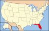
 Location of Osceola County in Florida
This is a list of the National Register of Historic Places listings in Osceola County, Florida.
This is intended to be a complete list of the properties and districts on the National Register of Historic Places in Osceola County, Florida, United States. The locations of National Register properties and districts for which the latitude and longitude coordinates are included below, may be seen in a Google map.[1]
There are 7 properties and districts listed on the National Register in the county.
-
- This National Park Service list is complete through NPS recent listings posted November 10, 2011.[2]
Contents: Counties in Florida (non-linked contain no National Register listings) Alachua - Baker - Bay - Bradford - Brevard - Broward - Calhoun - Charlotte - Citrus - Clay - Collier - Columbia - DeSoto - Dixie - Duval - Escambia - Flagler - Franklin - Gadsden - Gilchrist - Glades - Gulf - Hamilton - Hardee - Hendry - Hernando - Highlands - Hillsborough - Holmes - Indian River - Jackson - Jefferson - Lafayette - Lake - Lee - Leon - Levy - Liberty - Madison - Manatee - Marion - Martin - Miami-Dade - Monroe - Nassau - Okaloosa - Okeechobee - Orange - Osceola - Palm Beach - Pasco - Pinellas - Polk - Putnam - Santa Rosa - Sarasota - Seminole - St. Johns - St. Lucie - Sumter - Suwannee - Taylor - Union - Volusia - Wakulla - Walton - Washington Current listings
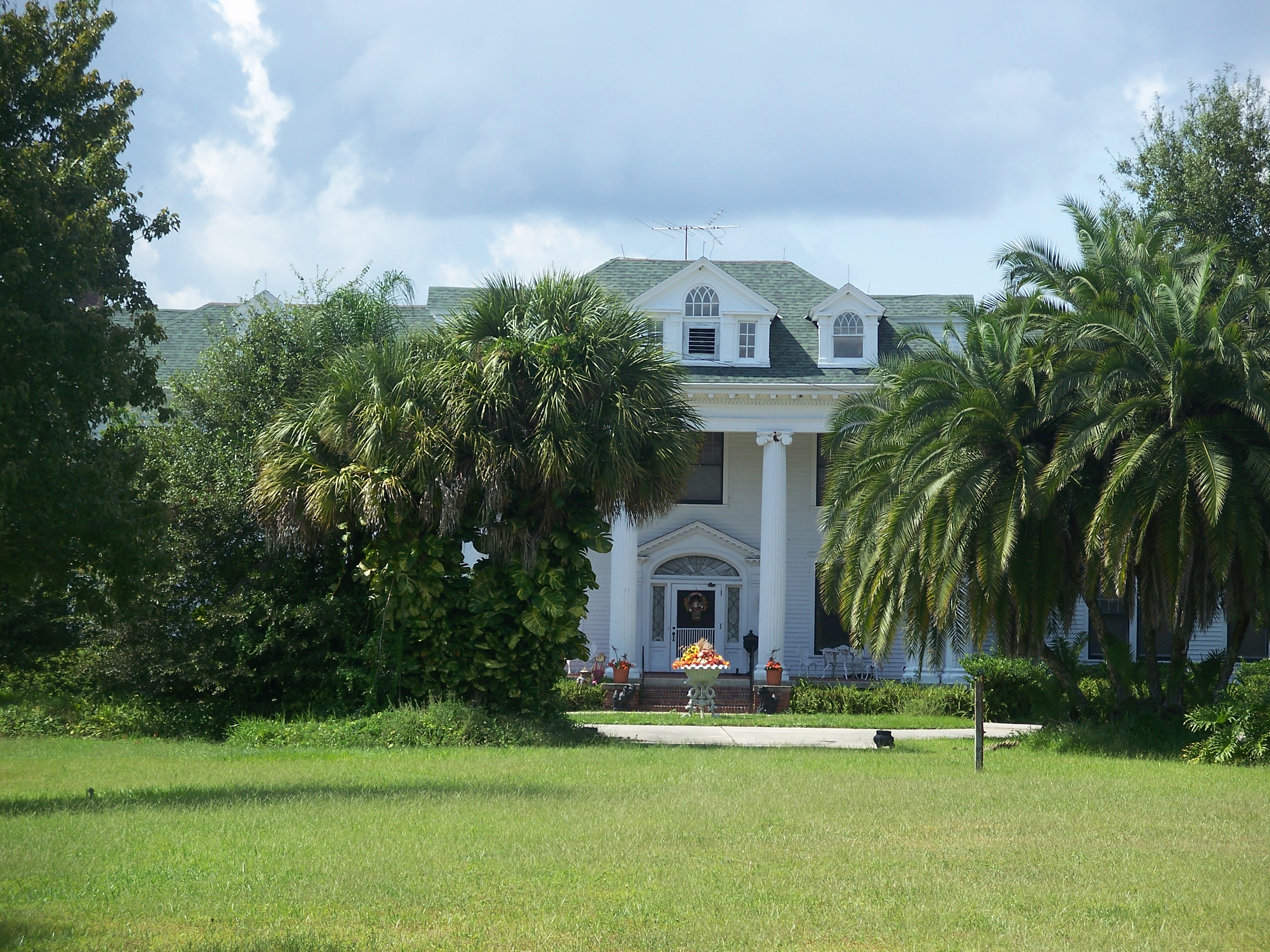
[3] Landmark name [4] Image Date listed Location City or town Summary 1 Colonial Estate 
January 3, 1994 2450 Old Dixie Highway
28°18′59″N 81°24′13″W / 28.316389°N 81.403611°WKissimmee NRHP# 93001455, Part of the Kissimmee MPS 2 Desert Inn 
January 3, 1994 5570 South Kenansville Road
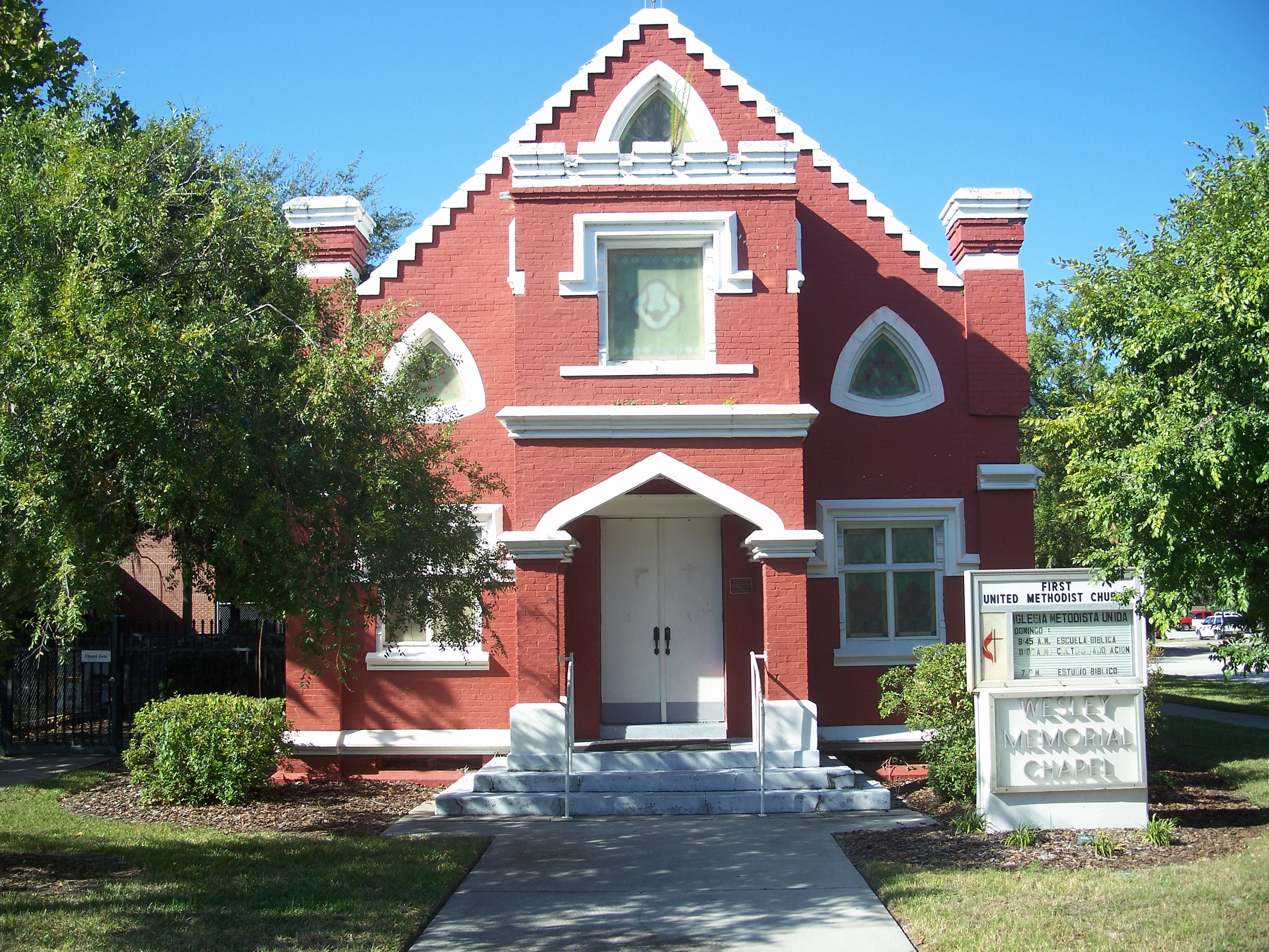
27°42′00″N 80°54′18″W / 27.7°N 80.905°WYeehaw Junction NRHP# 93001158 3 First United Methodist Church 
January 3, 1994 215 East Church Street
28°17′22″N 81°24′24″W / 28.289444°N 81.406667°WKissimmee NRHP# 93001457, Part of the Kissimmee MPS 4 Grand Army of the Republic Memorial Hall 
February 21, 1997 1101 Massachusetts Avenue
28°14′51″N 81°17′05″W / 28.2475°N 81.284722°WSt. Cloud NRHP# 97000097 5 Kissimmee Historic District 
January 4, 1994 Roughly bounded by Aultman Street, Monument Avenue, Penfield Street, and Randolph Avenue
28°17′31″N 81°24′40″W / 28.291944°N 81.411111°WKissimmee NRHP# 93001454, Part of the Kissimmee MPS 6 Old Holy Redeemer Catholic Church 
January 3, 1994 120 North Spoule Avenue
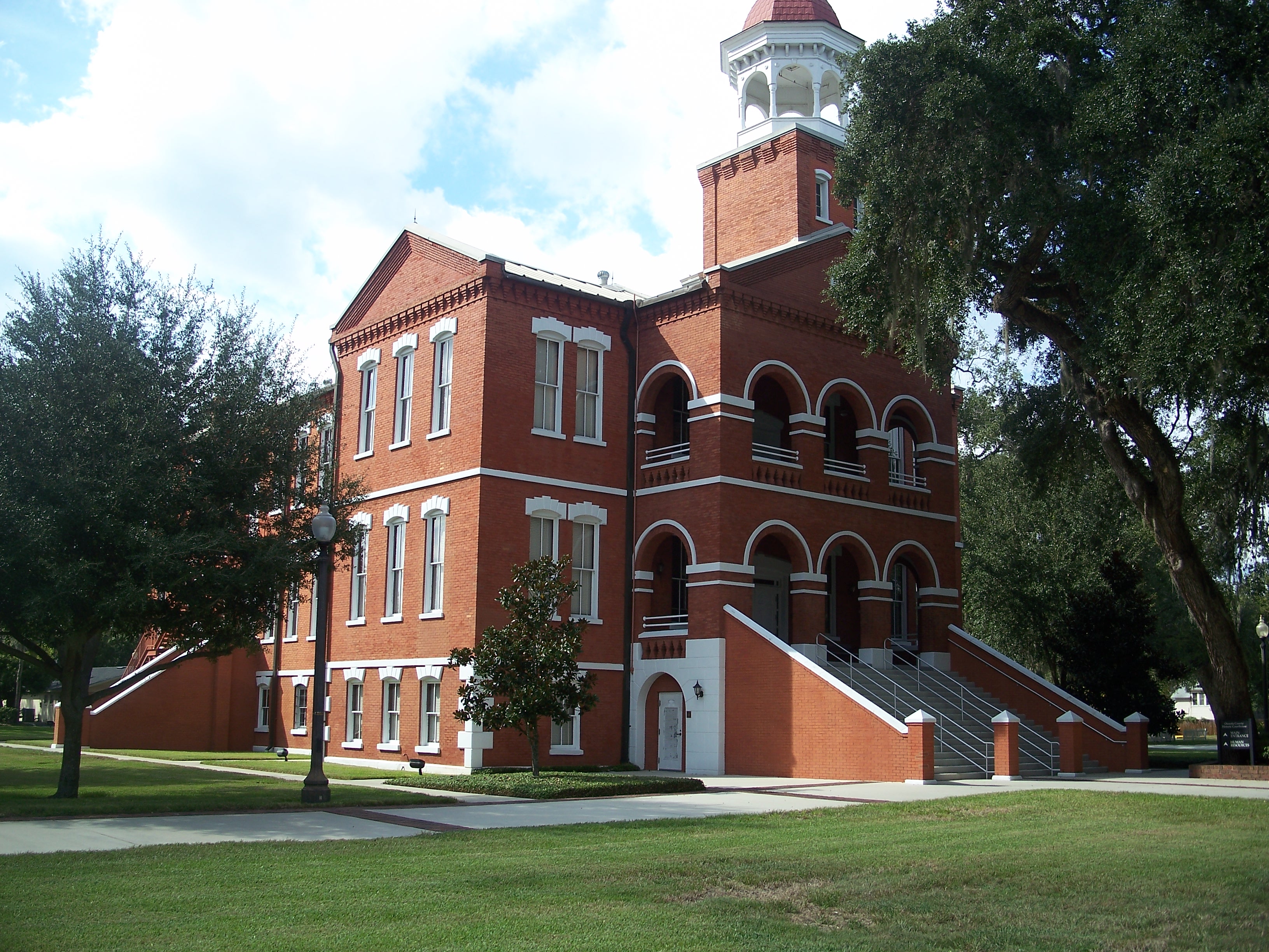
28°17′45″N 81°24′24″W / 28.295833°N 81.406667°WKissimmee NRHP# 93001456, Part of the Kissimmee MPS 7 Osceola County Courthouse 
August 16, 1977 Bounded by Emmett, Bryan, Rose, and Vernon Streets
28°17′28″N 81°24′42″W / 28.291111°N 81.411667°WKissimmee NRHP# 77000406 See also
- List of National Historic Landmarks in Florida
- National Register of Historic Places listings in Florida
References
- ^ The latitude and longitude information provided in this table was derived originally from the National Register Information System, which has been found to be fairly accurate for about 99% of listings. For about 1% of NRIS original coordinates, experience has shown that one or both coordinates are typos or otherwise extremely far off; some corrections may have been made. A more subtle problem causes many locations to be off by up to 150 yards, depending on location in the country: most NRIS coordinates were derived from tracing out latitude and longitudes off of USGS topographical quadrant maps created under North American Datum of 1927, which differs from the current, highly accurate GPS system used by Google maps. Chicago is about right, but NRIS longitudes in Washington are higher by about 4.5 seconds, and are lower by about 2.0 seconds in Maine. Latitudes differ by about 1.0 second in Florida. Some locations in this table may have been corrected to current GPS standards.
- ^ "National Register of Historic Places: Weekly List Actions". National Park Service, United States Department of the Interior. Retrieved on November 10, 2011.
- ^ Numbers represent an ordering by significant words. Various colorings, defined here, differentiate National Historic Landmark sites and National Register of Historic Places Districts from other NRHP buildings, structures, sites or objects.
- ^ "National Register Information System". National Register of Historic Places. National Park Service. . http://nrhp.focus.nps.gov/natreg/docs/All_Data.html.
U.S. National Register of Historic Places in Florida Lists by county Alachua • Baker • Bay • Bradford • Brevard • Broward • Calhoun • Charlotte • Citrus • Clay • Collier • Columbia • DeSoto • Dixie • Duval • Escambia • Flagler • Franklin • Gadsden • Gilchrist • Glades • Gulf • Hamilton • Hardee • Hendry • Hernando • Highlands • Hillsborough • Holmes • Indian River • Jackson • Jefferson • Lafayette • Lake • Lee • Leon • Levy • Liberty • Madison • Manatee • Marion • Martin • Miami-Dade • Monroe • Nassau • Okaloosa • Okeechobee • Orange • Osceola • Palm Beach • Pasco • Pinellas • Polk • Putnam • Santa Rosa • Sarasota • Seminole • St. Johns • St. Lucie • Sumter • Suwannee • Taylor • Union • Volusia • Wakulla • Walton • Washington
Lists by city Other lists Keeper of the Register • History of the National Register of Historic Places • Property types • Historic district • Contributing property Municipalities and communities of Osceola County, Florida County seat: Kissimmee Cities 
CDPs Buenaventura Lakes | Campbell | Celebration | Citrus Ridge‡ | Poinciana‡ | Yeehaw Junction
Unincorporated
communitiesAshton | Bull Creek | Deer Park | Harmony | Holopaw | Intercession City | Kenansville | Lake Marian Highlands | Narcoosee | Reedy Creek Improvement District‡
Footnotes ‡This populated place also has portions in an adjacent county or counties
Categories:- Osceola County, Florida
- National Register of Historic Places in Florida by county
-


Wikimedia Foundation. 2010.