- Mystic River Historic District
-
Mystic River Historic District
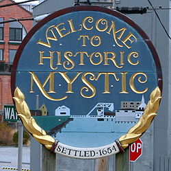
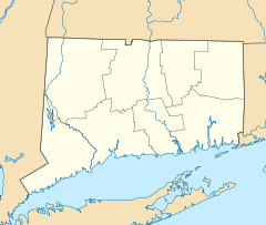

Location: U.S. 1 and CT 215, Groton, Connecticut Coordinates: 41°21′15″N 71°58′30″W / 41.35417°N 71.975°WCoordinates: 41°21′15″N 71°58′30″W / 41.35417°N 71.975°W Area: 235 acres (95 ha) Architect: Multiple Architectural style: Late 19th and 20th Century Revivals, Greek Revival, Late Victorian Governing body: Local NRHP Reference#: 79002728[1] Added to NRHP: August 24, 1979 The Mystic River Historic District is located in the village of Mystic, Connecticut (on the Groton side). The district was added to the National Register of Historic Places on August 24, 1979. The historic district is an approximately 235-acre (95 ha) area that includes much of the area of the place now known as West Mystic and includes many buildings from the 19th century.
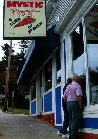
The historic district includes properties along Route 1, West Mystic Avenue, Route 215, High Street, Pearl Street, and Cliff Street. The famous Mystic Pizza is located in the district.
According to the 1979 National Register nomination, the importance of the district "...derives from the completeness of the 19th-century community here preserved. Seldom are houses, public buildings, stores, and factories of a 19th century town all in place, in good condition, and still in use, as they are in Mystic. The variety of architectural styles that the prosperous seafaring citizens employed in building up their community provide fine examples of the ongoing, 19th-century development of taste and design."[2]:74
In 1978, the district included about 470 sites and structures, of which 265 were houses built in Greek Revival, Italianate, or Queen Anne architectural styles that originated and grew to be popular during the 19th century.[2]:2 Two historic sites in the district are:[2]:65
- site of Fort Rachel, where in 1814 a single 12 pound cannon repulsed British attack on Mystic
- site of massacre of Pequot Indians in 1637, location not precisely known
The district's boundaries are similar to those of a local historic district that was designated in 1974, but it includes some more modern structures than were included in the local designation and its boundary lines are less irregular.[2]:66
It includes the former train depot of West Mystic.[2]:66
See also
- Pequot Fort, located just north of the district
- National Register of Historic Places listings in New London County, Connecticut
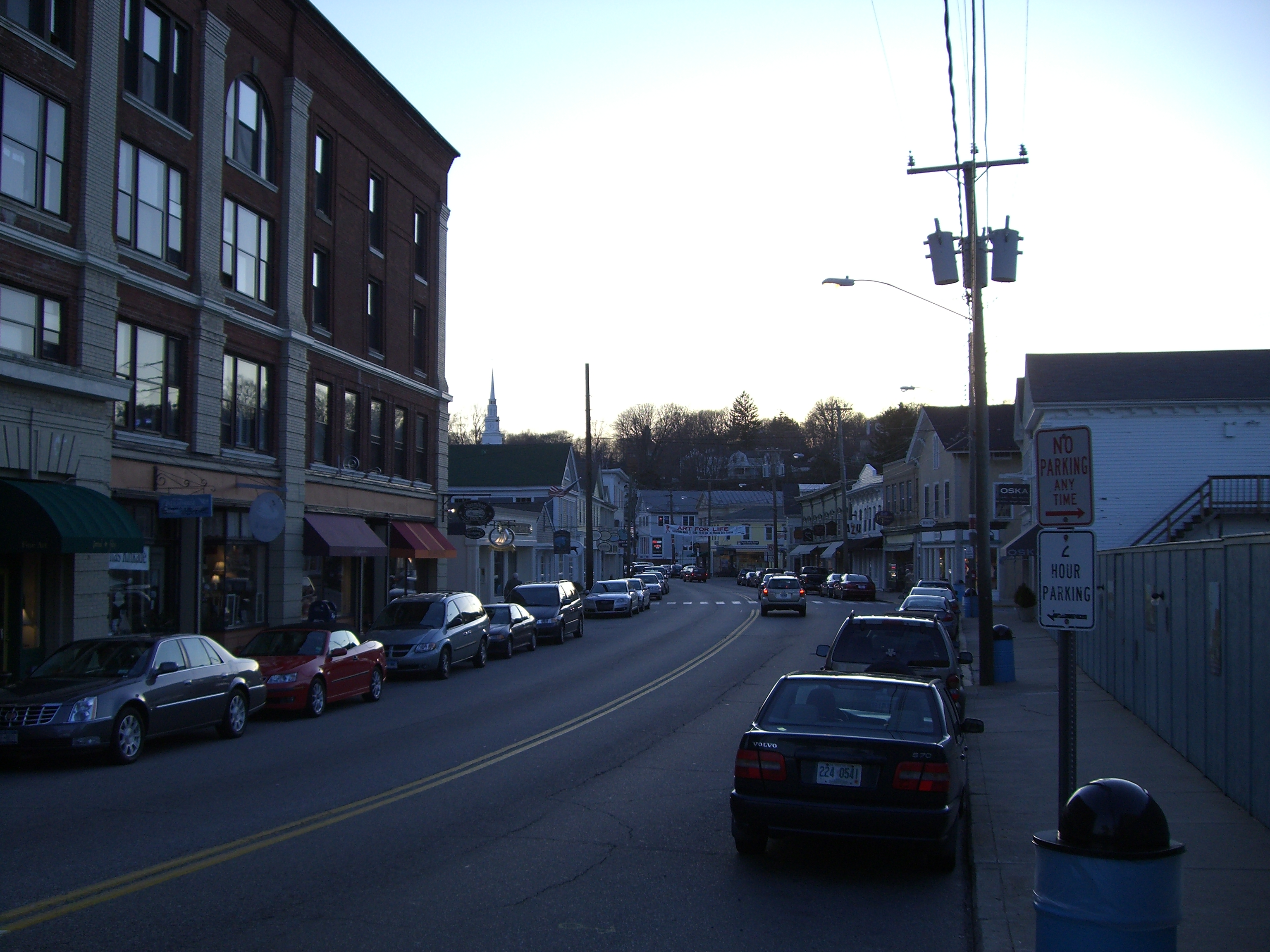
Pictures of Mystic River Historic District
-

The Groton part of downtown Mystic.
-
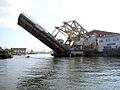
Mystic River Bascule Bridge being raised.
-

Tourists look into the famous pizza parlor in Mystic.
-

A coffeeshop along Main Street in Mystic.
References
- ^ "National Register Information System". National Register of Historic Places. National Park Service. 2009-03-13. http://nrhp.focus.nps.gov/natreg/docs/All_Data.html.
- ^ a b c d e David F. Ransom (December 10, 1978). "National Register of Historic Places Inventory-Nomination: Mystic River National Register District". National Park Service. http://pdfhost.focus.nps.gov/docs/NRHP/Text/79002728.pdf. and Accompanying 21 photos from 1978
U.S. National Register of Historic Places Topics Lists by states Alabama • Alaska • Arizona • Arkansas • California • Colorado • Connecticut • Delaware • Florida • Georgia • Hawaii • Idaho • Illinois • Indiana • Iowa • Kansas • Kentucky • Louisiana • Maine • Maryland • Massachusetts • Michigan • Minnesota • Mississippi • Missouri • Montana • Nebraska • Nevada • New Hampshire • New Jersey • New Mexico • New York • North Carolina • North Dakota • Ohio • Oklahoma • Oregon • Pennsylvania • Rhode Island • South Carolina • South Dakota • Tennessee • Texas • Utah • Vermont • Virginia • Washington • West Virginia • Wisconsin • WyomingLists by territories Lists by associated states Other  Category:National Register of Historic Places •
  Portal:National Register of Historic PlacesCategories:
- Historic districts in Connecticut
- Groton, Connecticut
- Villages in Connecticut
- Historic districts in New London County, Connecticut
- Connecticut Registered Historic Place stubs


Wikimedia Foundation. 2010.